NASA Gateway to Astronaut Photography · 1984–2022
Romania, photographed by astronauts
From the Space Shuttle, from Mir and from the International Space Station, astronauts have pointed a hand-held camera at Romania, and NASA recorded where each picture was centred. Here the photographs are back where they were taken, and you can look up the best one of your own town.
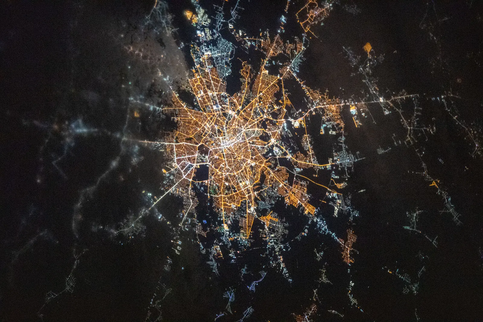
ISS061-E-66522 · Bucharest, 3 December 2019, 18:21 UTC · NASA
ScrollOne dot, one photograph
Each dot is a photograph centred on Romania, its coast or its Delta. 515 were taken from the space station, 213 from the Space Shuttle and 32 from Mir, on 177 different days between 1984 and 2022.
The dot sits at the centre point NASA’s cataloguers recorded. 318 frames give it to a tenth of a degree, about 11 km; the other 442 only to half a degree or a whole degree, up to about 55 km off, so the 760 frames fall on just 275 points (rings mark the coarse ones). Scroll, and they appear in the order they were taken.
They come in bursts: 86 frames in 2002 alone. Only 61 have a centre point since 2013. Newer photographs are probably not catalogued by hand yet, and only catalogued ones have a centre point.
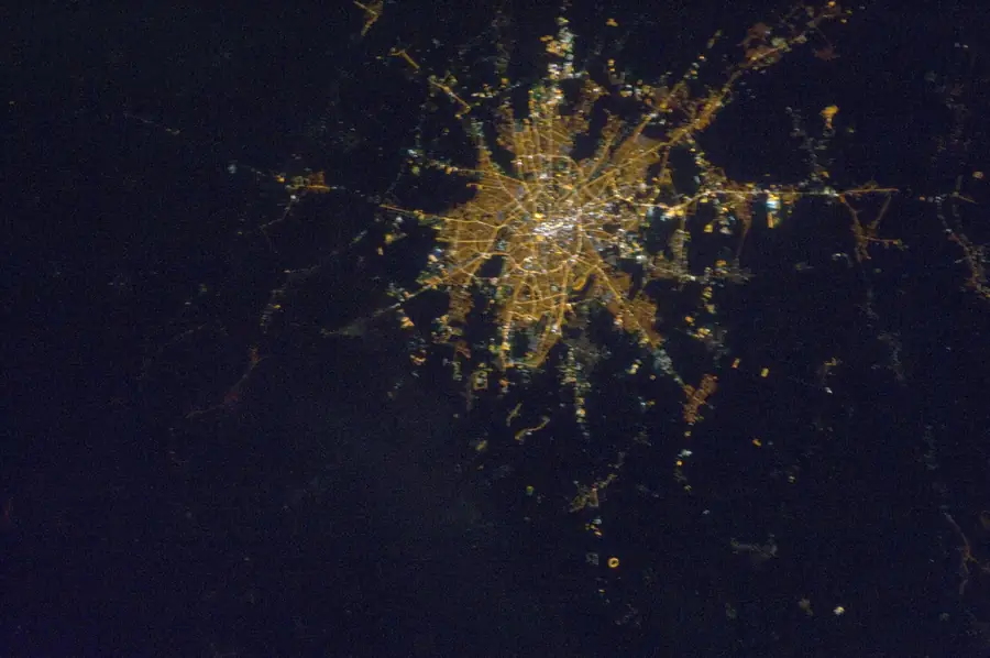
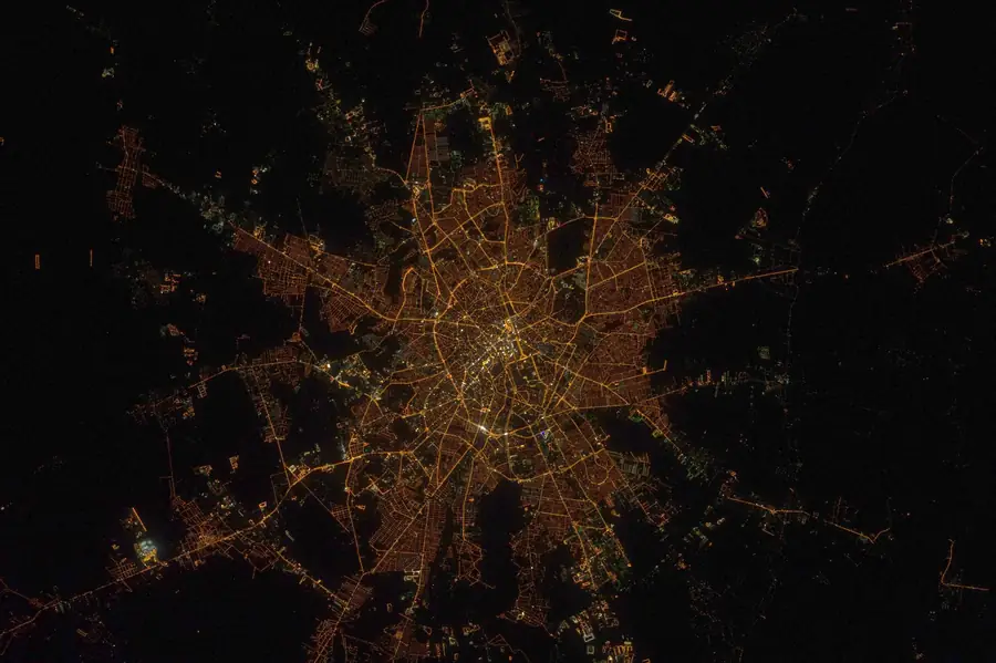
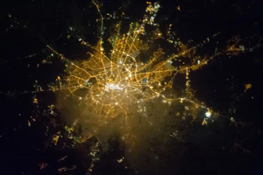
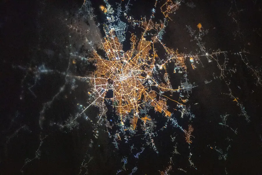
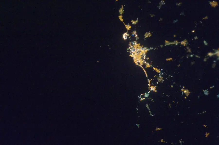
Bucharest at night
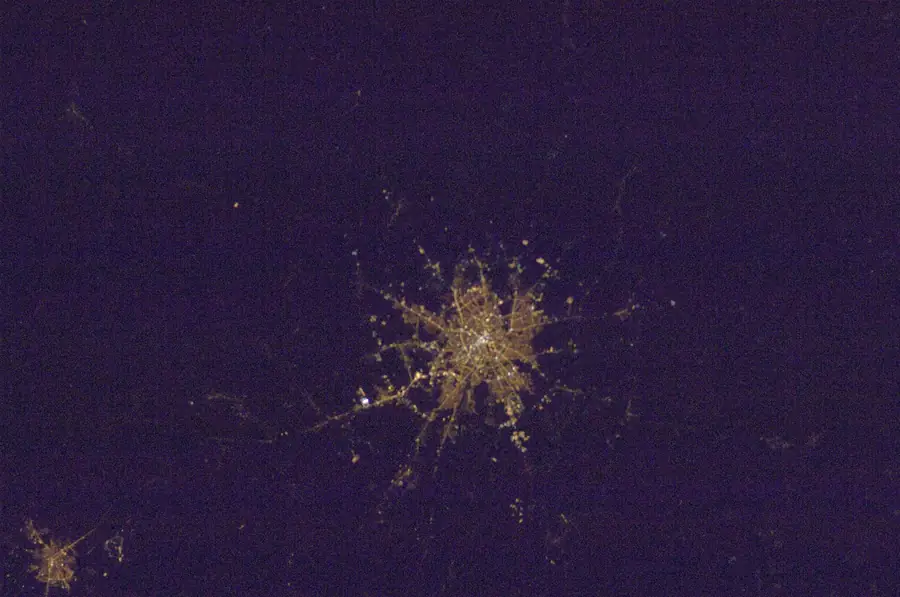
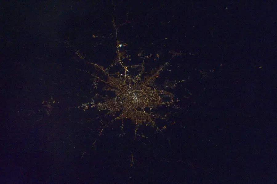
NASA’s catalogue holds 21 frames of Bucharest’s lights, taken on 11 different dates between 2003 and 2019. Here is one from each of seven years.
The lens changes from night to night, so the size and brightness of the city can’t be compared. The street pattern can: the roads running out of the centre, and the lit villages along them.
The Danube Delta
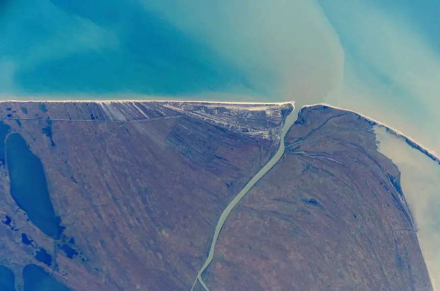
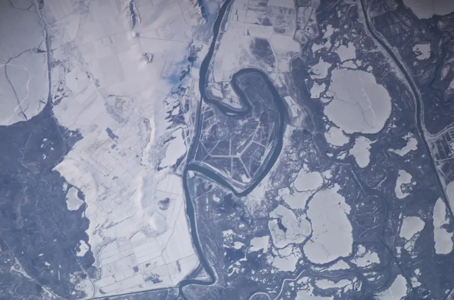
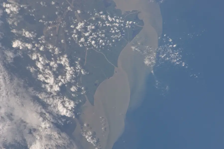
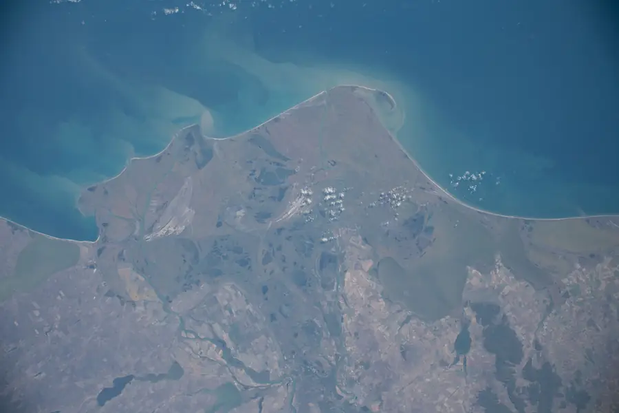
The same coast on four dates: in autumn, under snow, with muddy river water spreading out to sea in July, and, in a wide view, the whole Delta.
The ring on the globe is how much ground the lens covers, about as far across as the picture reaches. The dashed line, when there is one, runs from the point directly under the station to the centre of the picture.
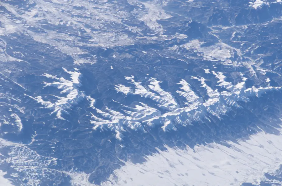
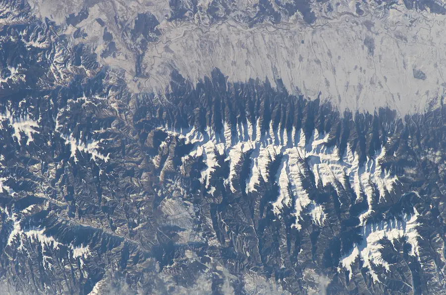
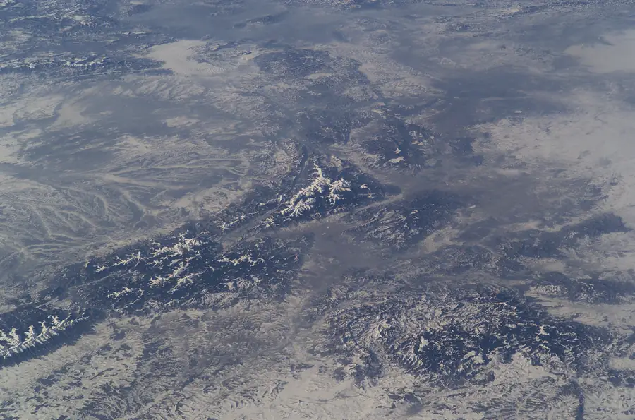
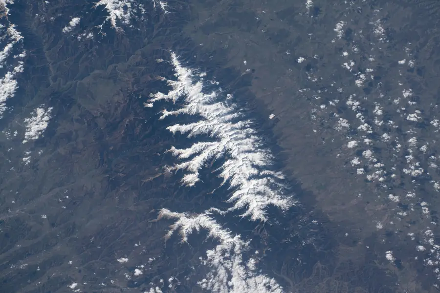
The Carpathians in snow
Winter frames of the mountain arc. In the first three the sun stood only 16° to 21° above the horizon at the centre of the picture, so every ridge throws a long shadow and the snow looks sculpted.
The last one was taken in April 2020. NASA’s label names Moldoveanu Peak, and there is still snow on the ridge.
What this page could not do
The plan for this page was to show at least 30 night frames of Romanian cities. The catalogue has 23: 21 of Bucharest and 2 of Constanța, on 11 dates. Add 5 wide night panoramas that happen to include Romanian towns and the total is 28, still short of 30, and almost all of it is one city.
There are more night pictures than that. 233 uncatalogued night frames were taken while the station passed directly over the Bucharest area. For a frame that has not been catalogued NASA gives only the point under the station, which can be hundreds of kilometres from where the camera pointed, so none of them is counted or placed here.
A second warning about centre points: some come from public volunteers, not from NASA cataloguers. One frame is labelled as Sibiu airport; NASA’s own record puts the station about 12,400 km away at that moment. 20 of the 760 frames carry a volunteer label, and the finder below ranks them lower and says so. 6 frames in the Romania set have a centre point that NASA’s own record contradicts by thousands of kilometres; they are left out of everything here.
✓ At least 500 usable frames with a centre point: 694 are centred inside Romania’s borders (619 after removing blank, clouded-out, spacecraft, volunteer-labelled and implausible ones), 760 counting its coast and the Danube border.
The best astronaut photo of your town
Type a commune or town. You get the best-scoring picture among those that cover it (near the centre, clear, a close view), with its date and frame number.
This covers 339 of 3,181 communes and towns. For the others no frame is centred close enough to say that the town is in it; Cluj-Napoca, Oradea and several other county seats have none.
How this was made
Source
NASA’s Gateway to Astronaut Photography (eol.jsc.nasa.gov), the Earth Science and Remote Sensing Unit at Johnson Space Center. Its database interface needs a key; I used the site’s own public search form instead: one request per query, three seconds apart, a box of 43.6–48.3 °N and 20.2–29.8 °E, “cataloged with centre point”, once each for day, night and dawn or dusk.
Counts
1,181 frames fall in that box. Of these 694 are centred inside Romania’s border (Natural Earth outline), 760 if frames labelled Romania on its coast and the Danube border are added. After removing 55 frames that show the spacecraft or are blank or clouded out (judged by image statistics) and 15 that carry a volunteer label, 619 are usable. The count of 694 is exact; “usable” is my own judgement.
Precision
A centre point is rounded to a tenth of a degree for 318 of the 760 frames and to half or a whole degree for the other 442, and for a tilted photograph it is where the cataloguer judged the middle of the frame to be. The ground width is estimated as 400 km × 24 mm ÷ the lens’s focal length, a rough figure that ignores tilt. A town is offered only when it would still be inside the frame if the centre point were off by its rounding (6 km, or 28 km for half-degree points), and never for lenses shorter than 100 mm. Sun height is calculated for the centre of each picture at its recorded time.
What was picked by eye
The photographs in the story were chosen by looking at the thumbnails and then the full frames, not from the metadata. Their date, time, sun height, cloud and tilt are from each frame’s own NASA record page. Some NASA labels come from volunteers; where I use a label I say “NASA’s label”.
Credit
NASA does not hold a copyright on these photographs. Credit as NASA asks: Image courtesy of the Earth Science and Remote Sensing Unit, NASA Johnson Space Center (eol.jsc.nasa.gov). Every picture on this page carries its NASA frame number, which opens its record there. The pictures are resized copies; the globe’s land outline is Natural Earth.