Marius Comper

Beneath your feet · Archaeological Romania

Discoveries
near you.

Choose a Romanian town or village to find archaeological discoveries recorded within 1, 5 and 10 km of its reference point. Explore their periods and open the evidence in Romania’s National Archaeological Record.

Find your town or village

Example: Iași · 5 km
26 sites, with recorded periods reaching back to the Neolithic.

21,510 sites with known positions from 29,007 RAN records consulted. RAN · 07.09.2026

RAN sites with known positions, coloured by their earliest recognised period. A site can appear in several layers. Grey: unclassified dating.
Modern periodMiddle AgesMigration periodRoman periodIron AgeBronze AgeEneolithicNeolithicMesolithicPalaeolithic
All periods

The past nearby

Begin with a place you know.

The circle is centred on the locality’s reference point in GeoNames. Distances run in a straight line to the site points on the RAN map.

Type at least two letters. Accents are optional.

Try:
Loading the record…

Across Romania

Within 5 km: about 86%.

We compared site points with the 1 km population grid from the 2021 census. Each inhabited cell contributes its population.

≈86%

of the population in the 2021 census grid was within 5 km of a RAN site with published coordinates.

1 km35.2%
5 km86.4%
10 km97.1%

At 5 km: 16,466,935 of 19,053,815 residents. Sensitivity to position within a cell: 83.0–89.1%. This is a geometric range and does not include site-coordinate errors. Method ↓

21,510 sites with known positions from 29,007 RAN records consulted.

Beyond the dots on the map

Traces have shape, weight and texture.

Examples from Romania’s archaeological heritage. The photographs show the places and objects described in their captions; they stay the same when you choose another place.

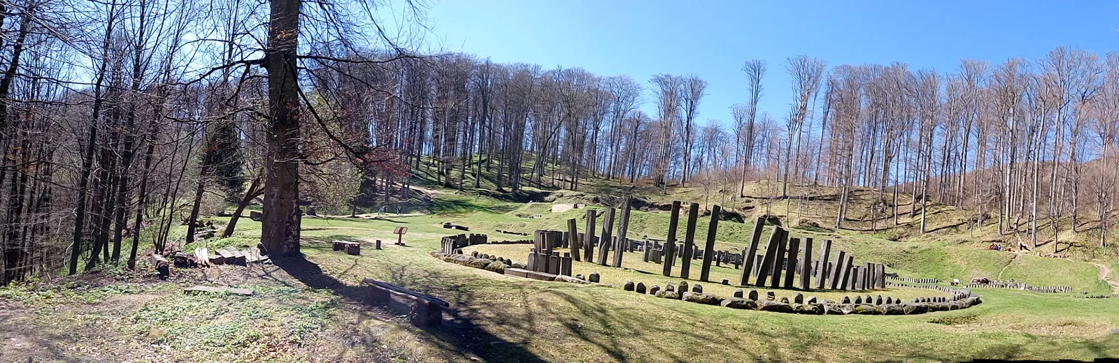
Circular sanctuary in a clearing surrounded by woodland.

The large circular sanctuary at Sarmizegetusa Regia, photographed in 2017.

Photograph and licence

© Hoheblau · Wikimedia Commons · CC BY-SA 4.0. Resized and converted to WebP.

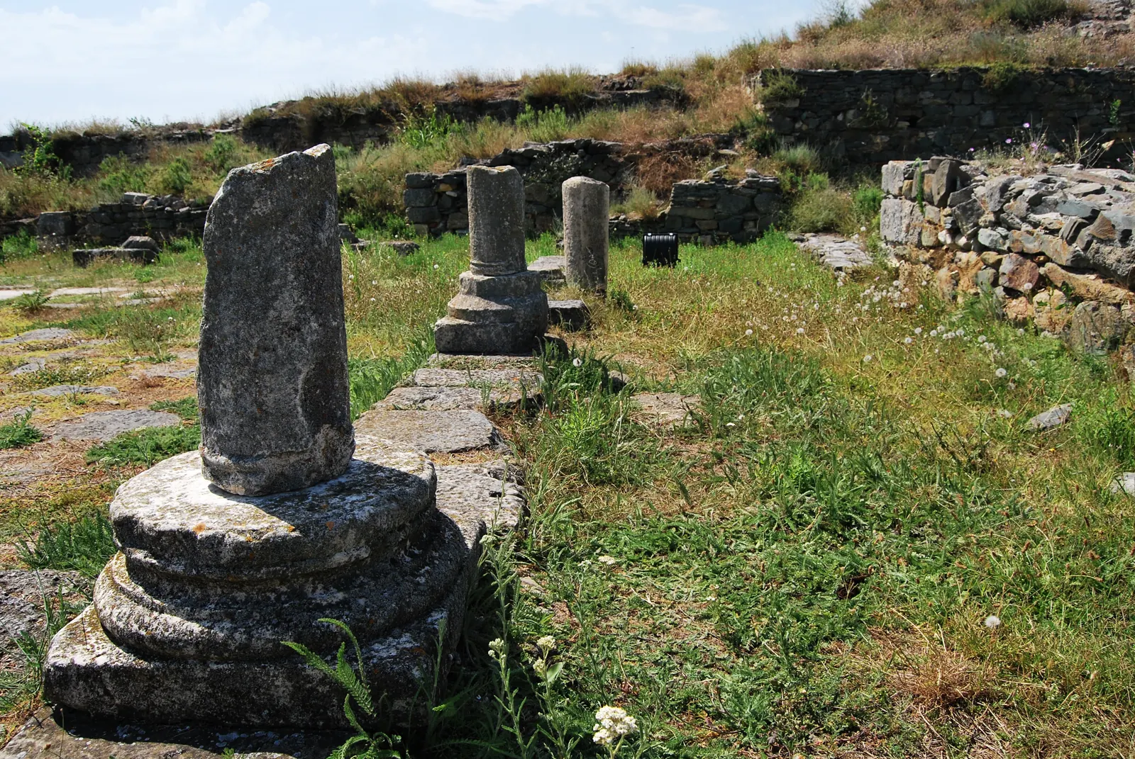
Stone column remains among the walls of Histria.

Columns and walls at Histria, Constanța County, photographed in 2014.

Photograph and licence

© Caliman Emanuel Catalin · Wikimedia Commons · CC BY-SA 3.0 RO. Resized and converted to WebP.

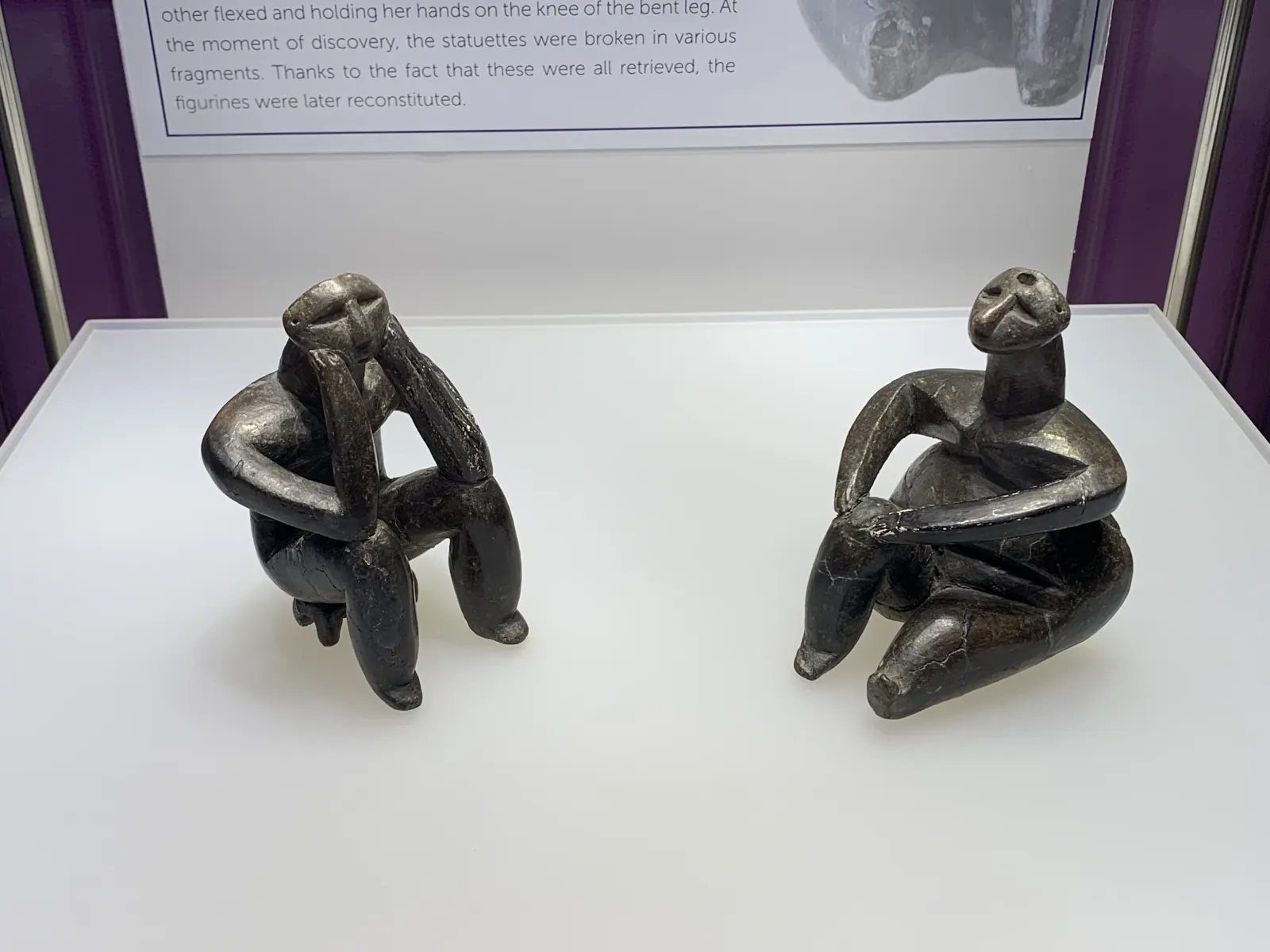
Two seated figurines; the one on the left rests its head in its hands.

The Thinker and the Sitting Woman of Cernavodă, Hamangia culture. Photograph taken in 2023.

Photograph and licence

© Chainwit. · Wikimedia Commons · CC BY-SA 4.0. Resized and converted to WebP.

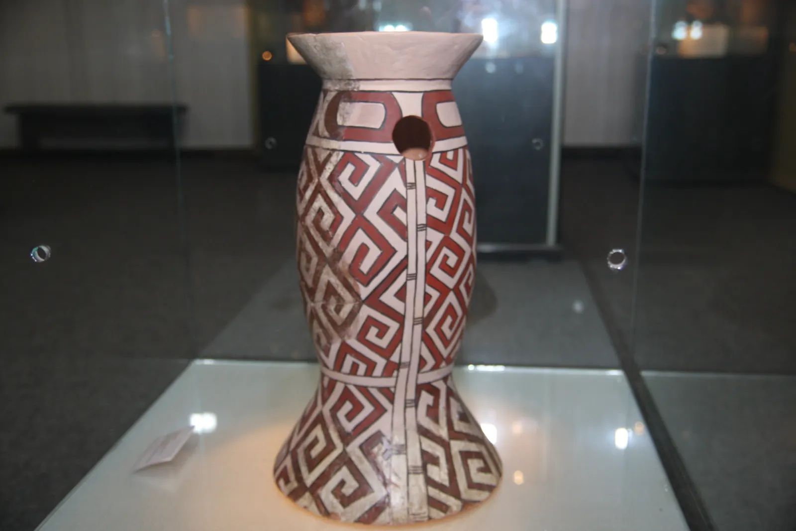
Tall ceramic object painted with red and black geometric patterns on a pale ground.

Cucuteni pottery on display in Piatra Neamț, photographed in 2009.

Photograph and licence

© CristianChirita · Wikimedia Commons · CC BY 3.0. Resized and converted to WebP.

Sources and limits

What this map can tell us.

A record of discoveries

RAN is maintained by Romania’s National Heritage Institute. It covers recorded discoveries: a denser map can also reflect more research, infrastructure works or better documentation. Places without dots may have a past that remains unknown.

The site’s position matters

The official map distinguishes sites with coordinates from those placed conventionally at their locality. Distance circles and the national calculation use only the first category. A locality reference point provides an orientation; an address at the edge of town may have different surroundings.

A period can span millennia

The “oldest period” is the earliest recognised label in the matching records. Mesolithic, Eneolithic and Migration-period labels remain separate. Dates expressed only as centuries or ambiguous terms remain visible as text and are not automatically assigned a period. A record may document a settlement, cemetery or isolated find; these do not establish continuous habitation.

Population and the 5 km circle

The calculation approximates residents’ distance using the centre of each 1 × 1 km census cell. A person could live up to about 707 m from that centre. The displayed range shows sensitivity to location within the cell; uncertainty in RAN coordinates and unrecorded discoveries add further limitations.

The data snapshot

21,510 sites with known positions from 29,007 RAN records consulted. Records were accessed on 7 September 2026; the map layer is dated 11 August 2026. 20,797 records have at least one period recognised by this page’s classification. Search uses 18,236 GeoNames entries, including city sections.

Explore the sources

Site names and original dating are reproduced in the record’s Romanian.