E15: 181 of 810 postcodes stand below a spring high tide
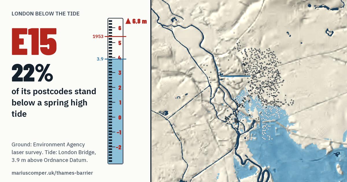
The ground at 181 of E15's 810 postcodes (22%) is lower than an ordinary spring high tide at London Bridge (3.9 m above Ordnance Datum).
- Ground at eight in ten of its postcodes: between 2.9 m and 10 m, measured from Ordnance Datum; the middle one stands at 6.8 m.
- 314 of 810 stand lower than the 1953 tide (5.41 m).
- 227 lie in the Environment Agency's Flood Zone 3 from the sea, mapped without defences.
- Mostly in Newham; partly in Waltham Forest.