WC2E: 0.6 m clear of the highest tide in the London Bridge ledgers
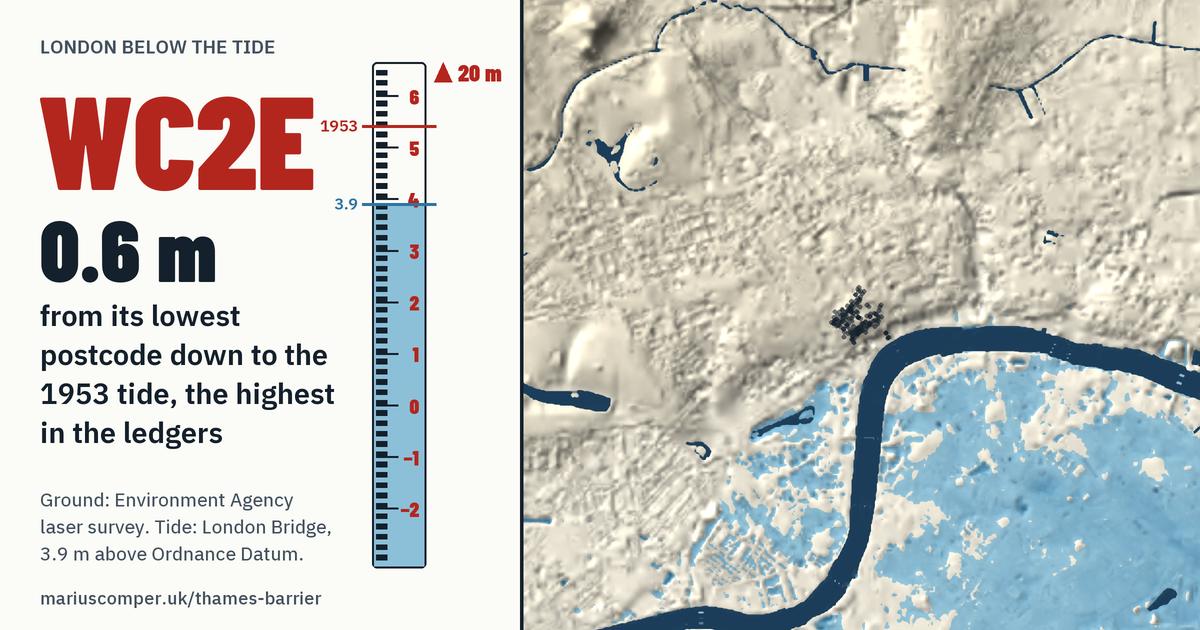
The lowest postcode in WC2E, WC2E 7AE, stands 0.6 m above the highest tide in the London Bridge ledgers (5.41 m, 1 February 1953). The highest, WC2E 9NR, stands 19 m above it.
- Ground at eight in ten of its postcodes: between 17 m and 24 m, measured from Ordnance Datum; the middle one stands at 20 m.
- None lies in the Environment Agency's Flood Zone 3 from the sea.
- In Westminster.