mariuscomper.uk RO

Pâclele Mari and Pâclele Mici, Buzău County

The ground that breathes

Near Berca, grey mud hills bubble. The gas comes from a reservoir thought to lie more than three kilometres down, and scientists have estimated how much of it leaves the ground, from field measurements.

Berca, Buzău County

Two hills that bubble

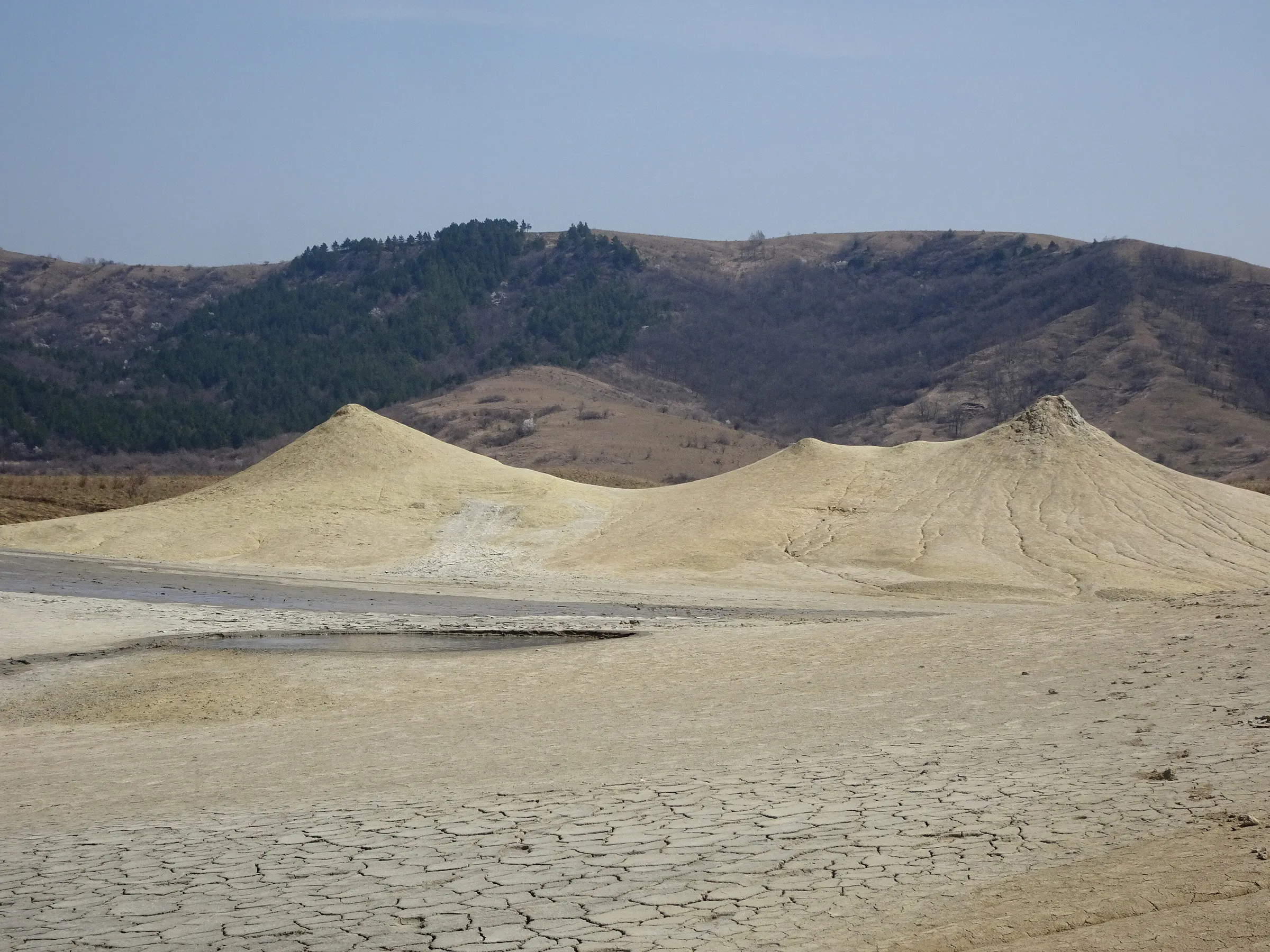
Pâclele Mari is a hill 1.8 kilometres long and 80 metres high. Pâclele Mici next to it is 1.3 kilometres long and 60 metres high. Both are covered in cones of dried mud, some up to 10 metres tall, and both are nature reserves.

A 2004 survey, as listed in a 2012 paper, counted 65 vents on Pâclele Mici and 62 on Pâclele Mari. A cone can be almost flat or as steep as 35 to 40 degrees, depending on how runny the mud is.

Nothing here is molten

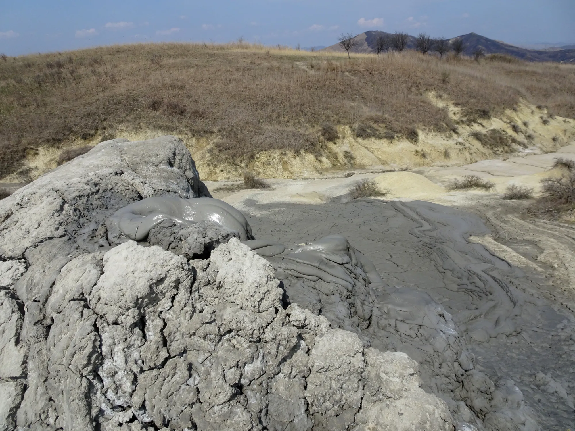
The mud is clay and salty water, lifted by gas. The water is rich in bromide, and a thin film of crude oil can float on the pools.

Between 93 and 96 per cent of the gas that comes out is methane, the main component of natural gas.

Small vents, very different rates

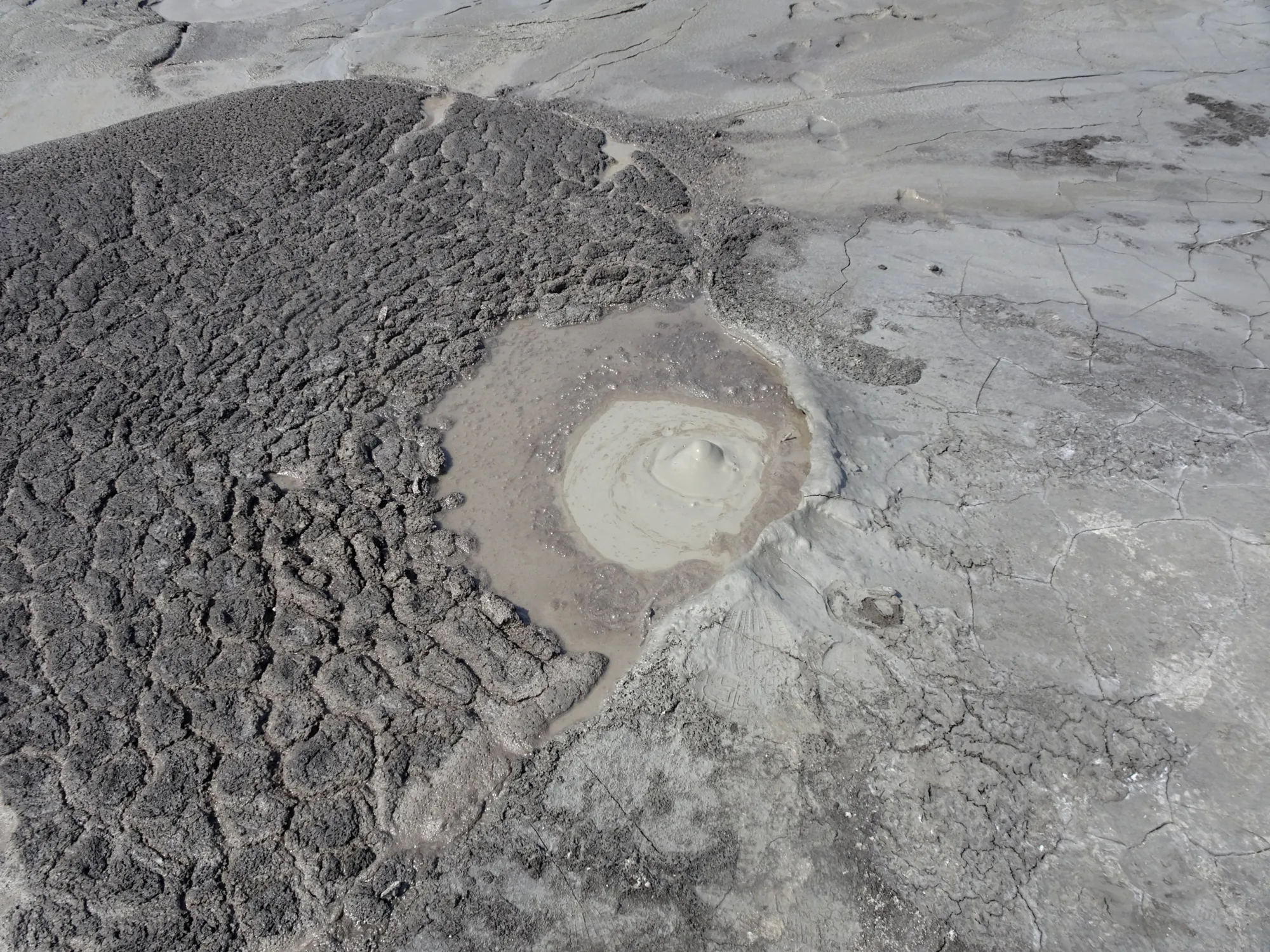
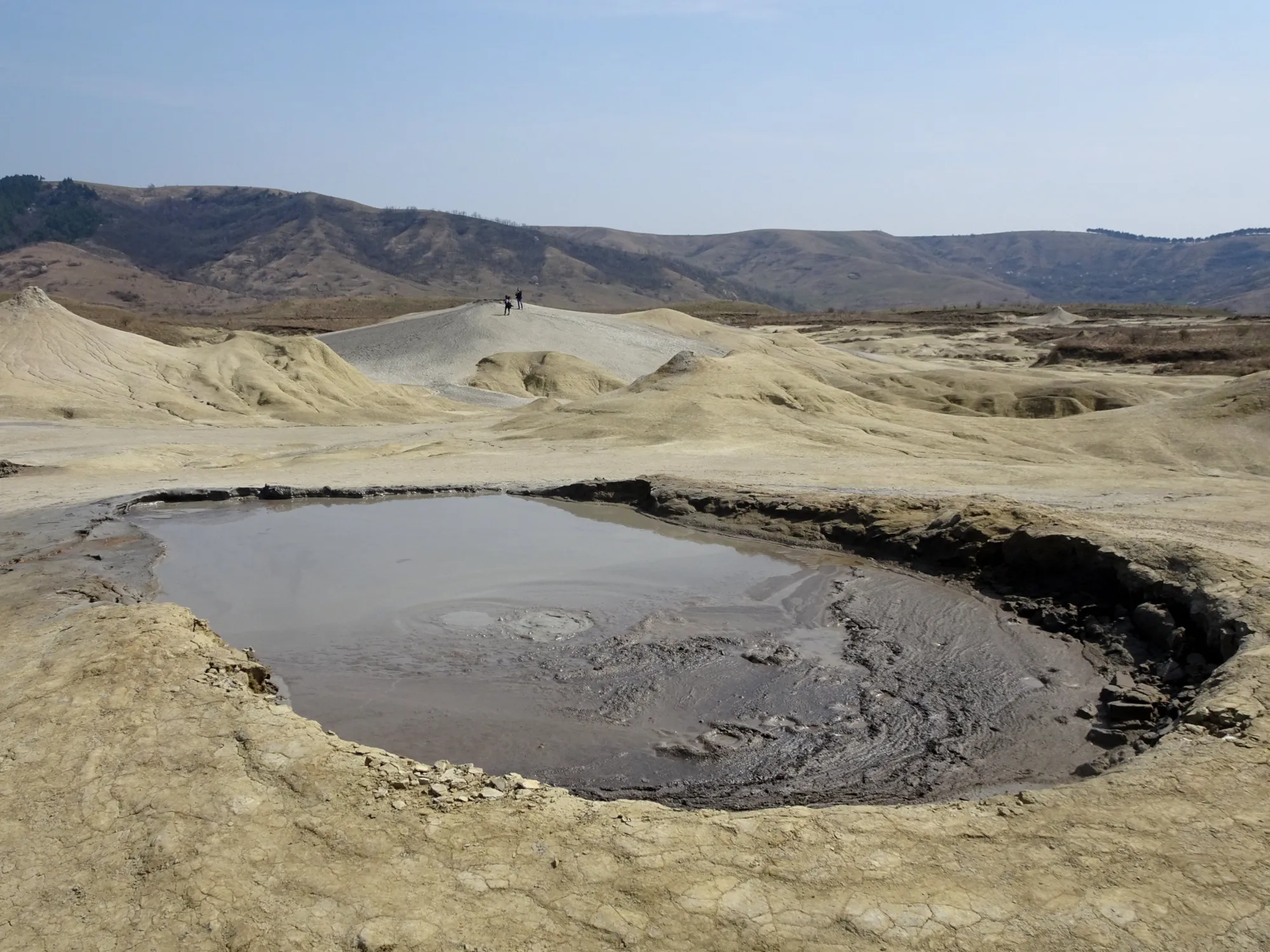
Gas reaches the surface through vents: bubbling holes and pools. At Beciu, the fourth field in this group, the 46 vents together cover about 30 square metres, 0.65 per cent of the mud that has recently erupted.

In June 2011 researchers measured 40 of them. They gave off between 14 kilograms and 32 tonnes of methane a year each, which assumes the June rate holds all year.

0 m

Now go down

Everything from here until the surface comes back is a drawing, not a photograph or a measurement. Only the depths come from sources.

One borehole near Pâclele Mici, Berca 2341, reached 3,330 metres.

>3,000 m

The gas

The Berca borehole suggests the main gas reservoir is more than 3 kilometres deep. The gas collects in certain blocks of rock, under pressure.

Faults that reach those blocks give it a way out. Gas and mud come up the same cracks.

≈3,000 m

Where the mud starts

Geologists estimate that the mud starts in Middle Miocene rock at around 3,000 metres, judging by the age of the rocks and how the fold is built. It travels up the faulted flanks of the fold.

That is about nine times the height of the Eiffel Tower.

Rock folded under the hills

The cones sit on a fold in the rock about 18 kilometres long, running roughly north to south. It is made of layers of sediment millions of years old, with a core of salt, and cut by faults. Erupted mud has piled up on top of it into the two hills.

Between the two world wars the Berca–Arbănași–Sărata Monteoru oil area was the most important in Romania. A few wells were still active in 2012.

The way up

Scroll and the gas rises with you. Each dot stands for gas moving up a fault. It is drawn, not tracked.

The papers report what reaches the surface.

At least 1,350 tonnes a year

This is the published methane output of the four mud volcanoes, from vents and from the muddy ground around them. The authors give the total as “at least” 1,350 tonnes a year.

That is about 43 grams every second (our arithmetic). At Pâclele Mari, more methane seeps from the ground around the vents than comes out of the vents themselves.

Methane output per year, tonnes
0200400600800Pâclele Mari2004730Pâclele Mici2004383Beciu2012189Fierbători200437

From vents From the muddy ground

Totals from the papers: Pâclele Mari 730, Pâclele Mici 383, Beciu 189, Fierbători 37. They add to 1,339; the 2012 paper states “at least 1,350” and does not show how it was added. The year under each name is that of the paper. No error ranges are published.

Why there is no “cars” number

Before building this page we set a rule (we had already read the papers): give a number for the gas only if a paper states a measured yearly total with its uncertainty. These papers give totals, built on field measurements, but no uncertainty. So there is no cars comparison.

There is a second reason. Tonne for tonne, methane warms the climate about 30 times more than carbon dioxide over 100 years and about 83 times over 20 years, so any comparison would change almost threefold with the choice. We also found no published yearly emissions figure for an average car in Romania.

The totals come from surveys published in 2004 and 2012. We found no later total.

While you read

The counter uses the floor figure, 1,350 tonnes a year, spread evenly over the year. The real flux is not constant, and none of these papers says how it varies.

Estimated methane released since you opened this page:

0 g

Pass it on

If someone you know would like to watch a mud volcano breathe, send them the page.

Sources and notes

The figures are quoted from the papers below, which we read. Sky, light, hills, rock texture and the gas glow are painted for atmosphere and carry no data. The drawing of the rock is a schematic: only the depths (3,330 m well, about 3,000 m mud source, gas reservoir deeper than 3,000 m) come from sources. Faults, salt and rock layers are not drawn from data, and the dots stand for gas moving up, not tracked bubbles. The Eiffel Tower is drawn at its official height of 330 metres for scale. The conversion to grams per second and litres is our own arithmetic: 1,350 tonnes a year divided by the seconds in a year, and methane at 15 °C and one atmosphere taken as 0.679 kilograms per cubic metre.

  1. Etiope, G., Baciu, C., Caracausi, A., Italiano, F., Cosma, C. (2004). Gas flux to the atmosphere from mud volcanoes in eastern Romania. Terra Nova 16. doi:10.1111/j.1365-3121.2004.00542.x. Abstract read; vent and soil totals for Pâclele Mari, Pâclele Mici and Fierbători as tabulated in the next two papers.
  2. Baciu, C., Caracausi, A., Etiope, G., Italiano, F. (2007). Mud volcanoes and methane seeps in Romania: main features and gas flux. Annals of Geophysics 50. doi:10.4401/ag-4435. Open access; read in full. Hill sizes, cone height and slope, geology, Table II.
  3. Frunzeti, N., Baciu, C., Etiope, G., Pfanz, H. (2012). Geogenic emission of methane and carbon dioxide at Beciu mud volcano. Carpathian Journal of Earth and Environmental Sciences 7(3), 159–166. PDF. Read in full. Table 1, the vent range 0.014–32 t/yr, 40 of 46 vents measured, “more than 3 km deep” (citing Sencu 1985), the 1,350 t/yr total.
  4. Brustur, T., Stănescu, I., Macaleț, R., Melinte-Dobrinescu, M. C. (2015). The mud volcanoes from Berca. Geo-Eco-Marina 21. PDF. Mud from Middle Miocene deposits at about 3,000 m; well 2341 Berca, 3,330 m.
  5. Eiffel Tower height: 330 m including the antenna fitted in 2022, Wikipedia (the official site blocks automated fetches).
  6. Methane warming factors for fossil methane, 29.8 (100 years) and 82.5 (20 years): IPCC AR6 Working Group I, Chapter 7, Table 7.15. Rounded to 30 and 83 on the page.
  7. Images. Photos by Whitepixels, taken 8 April 2018, Pâclele Mari, CC0 (Wikimedia Commons, files “RO Berca mud volcanoes 03, 04, 07 and 08”). Video: “Mud volcano Paclele mici”, Toniher, 28 August 2017, CC BY-SA 4.0; resized and re-encoded for this page, audio removed.
  8. Not checked. Whether fluxes have changed since the surveys; a satellite measurement of the Berca plume; the number of vents measured directly at Pâclele Mari and Mici. A later study (Briceag et al. 2019) reports new Berca measurements with “high variability”, but its abstract gives no totals and we did not read the full text.