A thousand years in one hand
The slider below picks a year. The map shows every listed building put up by then, coloured by the century it first appeared in: the oldest are golden and large, the twentieth-century ones small and cool. The figures on the right split the same total in two. West: Transylvania, Crișana, the Banat and Maramureș, the lands that stayed under the Hungarian and then the Habsburg crown until 1918. East and south: Wallachia proper (Muntenia), Oltenia, Moldavia and Dobrogea.
The year is that of the earliest known phase. A church dated “13th–19th c.” appears in 1201 and stays on the map, because the thirteenth-century wall is still there.
Click a dot on the map to open that locality in the explorer.
The Middle Ages survived beyond the Carpathians
Drag the slider to 1500 and the map is nearly empty south and east of the mountains. In all of Muntenia, the list has 65 buildings older than that year; in Oltenia, 24; in Moldavia, 99; in Dobrogea, one. Transylvania alone has 942. Together with Crișana, the Banat and Maramureș, the provinces west of the Carpathians hold 1,008 of the country's 1,197 medieval buildings, or 84.2%. Before 1300 the ratio is starker still: 280 out of 292.
The difference is not only in castles and cathedrals. It reaches down to the village. For each of the 4,199 localities with at least one dated building, I kept the oldest thing still standing. In half the localities west of the Carpathians, that thing predates 1701. In half of those east and south, it predates 1805. There are a hundred and four years between the two medians. In a Transylvanian locality, the chance that the oldest building predates 1700 is 49.5%; in Muntenia it is 14.8%; in Oltenia, 9.6%.
The explanation has three layers, and each is visible separately on the map. The first is stone. The Saxons settled in southern Transylvania from the twelfth century, and the Catholic parishes of the Hungarian kingdom, built churches of stone and brick that were later fortified, and a wall, once raised, stayed. Of the 708 masonry churches older than 1500, 624 are west of the Carpathians. The second layer is timber, discussed below: south and east of the mountains the village built in wood, and wood gets replaced, so it enters the list with the year of the last church raised on that spot. The third layer is the nineteenth century, which rebuilt the towns of the Old Kingdom almost from the ground and left behind the largest number of listed buildings in the entire list.
The list also has a limit of its own, which the map cannot hide: it records what was surveyed and classified, and the inventories were made county by county, with different research traditions. Saxon churches have a century and a half of monographs. But the gap between 942 and 65 is too wide to be only a difference in inventory diligence. It matches what architectural historians say about the two halves of the country: in the west, stone Gothic from the thirteenth century; in the east and south, princely and monastic foundations in masonry from the fourteenth century on, and around them, wood.
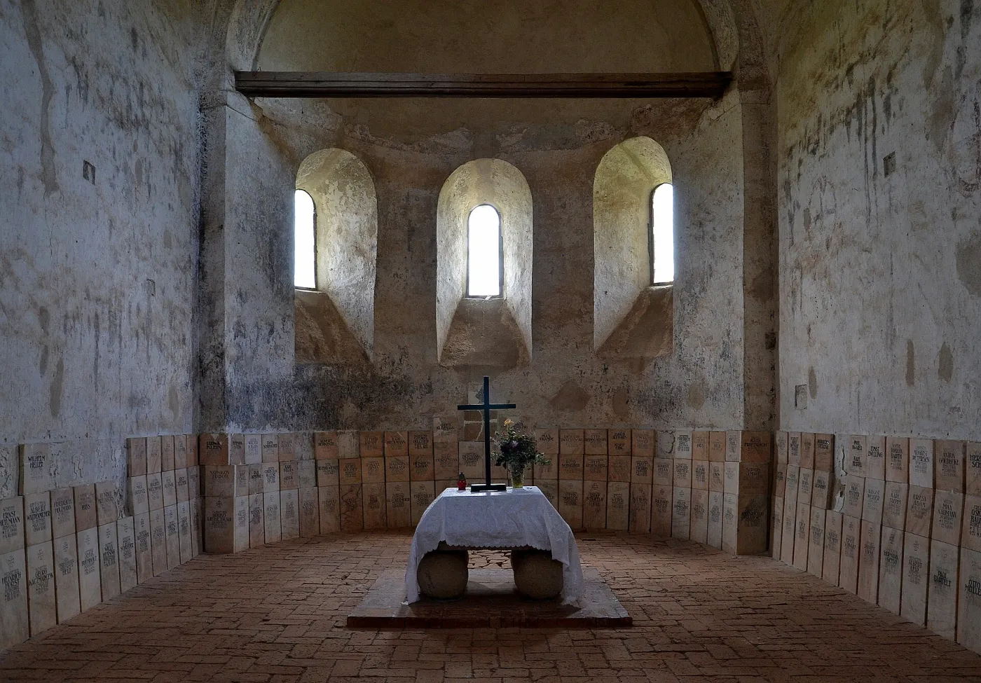
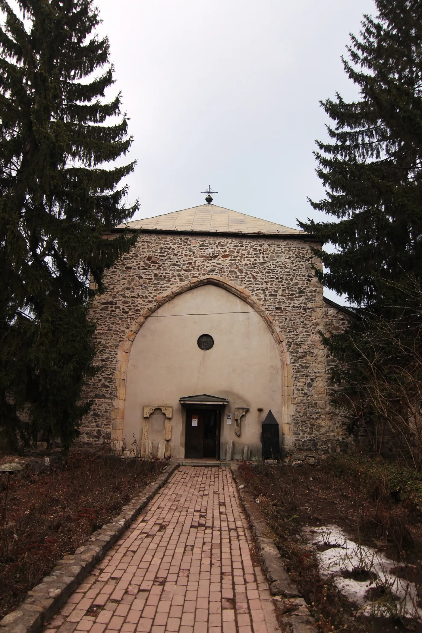
The oldest thing in your locality
The list has at least one entry in 5,672 localities. Type the name of one and see everything listed there, from oldest to newest, with the year of the earliest phase and the exact dating from the list. The first card shows the oldest thing still standing. Below it come the buildings, then the archaeological sites, meaning what lies underground.
Loading the list of localities…
Wood entered the list with the year of the last church
The list classifies 1,238 wooden churches. Half of them are newer than 1772, and 684, more than half of those dated, were raised in the eighteenth century. Only 132 predate 1700. Not because villages had no churches before: timber gets replaced every two or three generations, and a new church raised in 1780 on the site of one from 1650 enters the list as 1780. The map of wood is, in fact, the map of the last rebuilding.
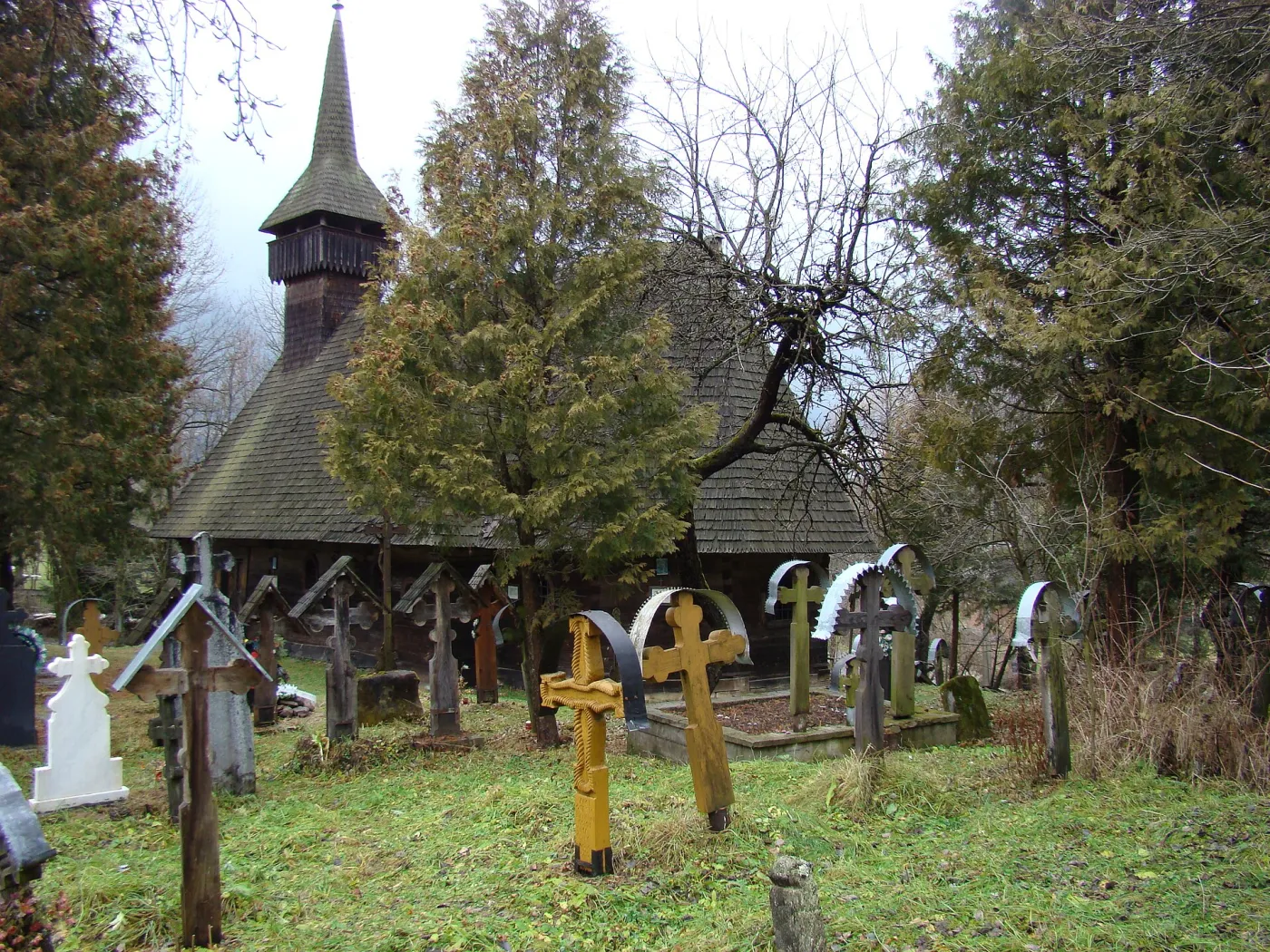
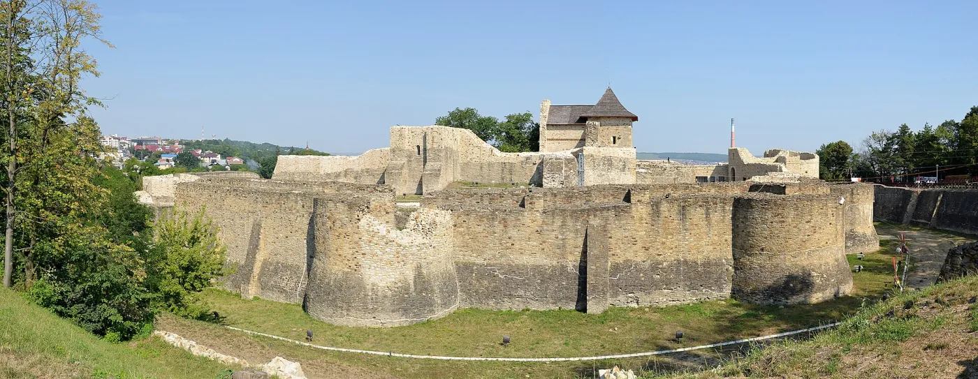
Half the list is newer than 1827
The median year of the 17,637 dated buildings is 1827. The nineteenth century alone left 7,707 of them, more than every century up to 1800 put together, which add up to 6,508. The balance flips from one province to the next. In Muntenia, 69.7% of listed buildings date from after 1850; in Transylvania, 19.5%. Bucharest alone has 2,049 dated buildings on the list, with a median of 1876, and is the locality with the most entries in the country, 2,674.
The table below goes down to county level. The first figure is the median year of the buildings listed there, the second is the share of them older than 1700. The four counties with a median of 1701 are Sibiu, Brașov, Bistrița-Năsăud and Cluj, the Saxon land and the land of the royal towns; Alba follows, with 1727. At the other end, Constanța, Teleorman, Brăila and Călărași have medians after 1897: there, the list is almost entirely the modern town.
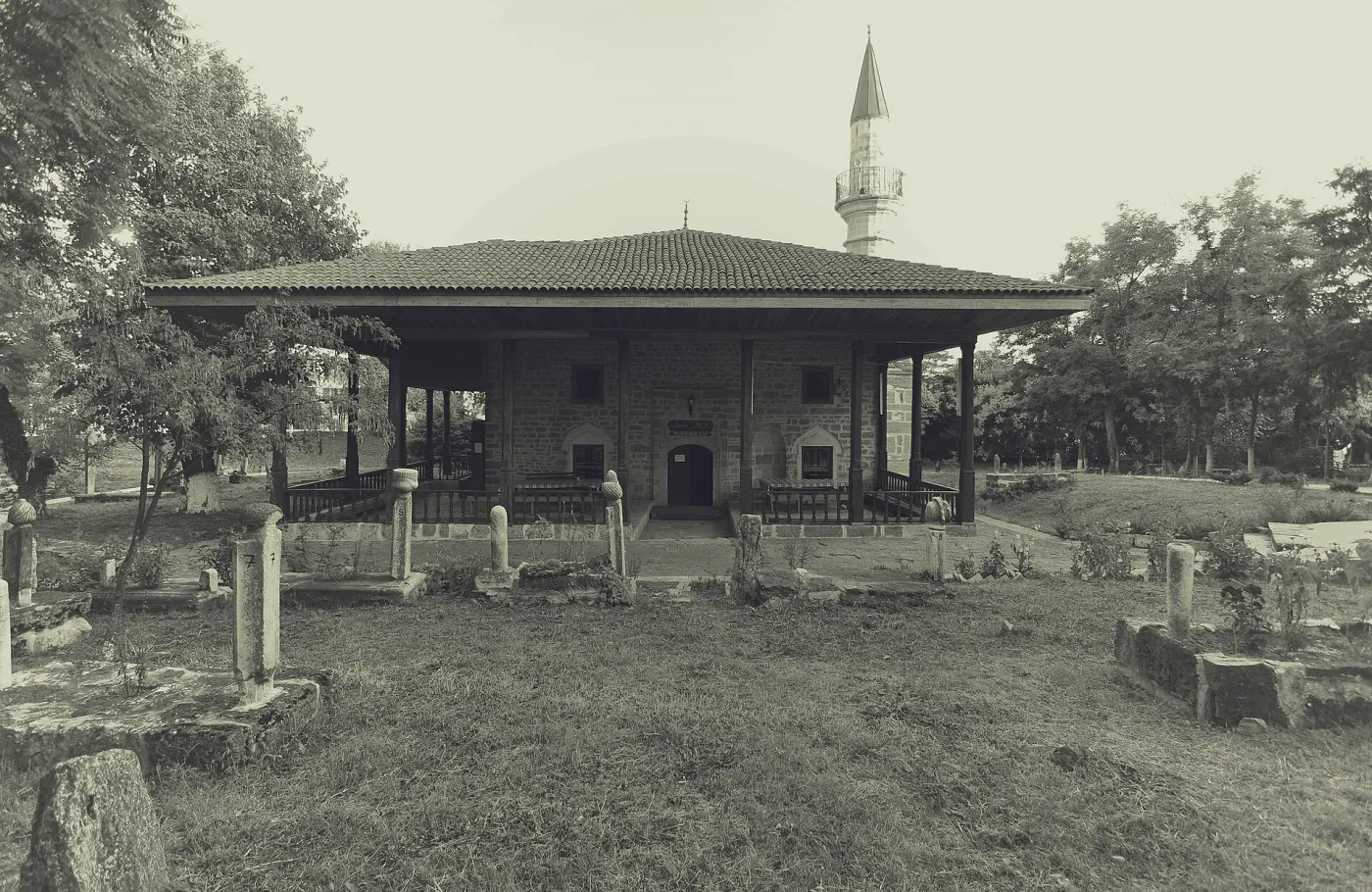
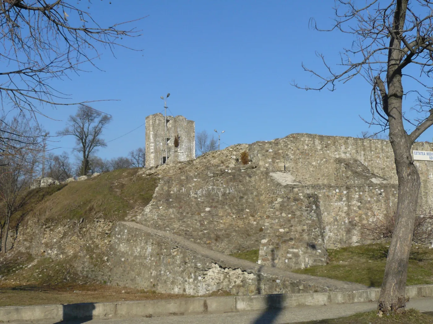
What lies beneath has a different map
The list also holds 9,672 archaeological sites, of which 7,930 have a period noted and can be mapped. They do not obey the Carpathians. Neolithic settlements follow the valleys of Moldavia and Muntenia, the Bronze Age fills Transylvania and the plain alike, and the Roman period settles on Trajan's Dacia, on Dobrogea and on the Danube limes. The mountains divided what remained standing; what lies underground was put there before they divided anything.
VI · What the list does not say
A list is a decision
The List of Historic Monuments contains what the state has classified, through the Ministry of Culture and the National Heritage Institute, with the last full edition in 2015 and updates by ministerial order. A house from 1890 that was never proposed does not exist here, however intact. A classified ruin exists, however little of it is left. The figures on this page describe the list, and the list describes the country only to the extent that its inventories were equal, which they were not.
The dating is the list's own, taken at the earliest phase. “14th–19th c.” becomes 1301; “late 19th c.” becomes 1876; “1898–1910” becomes 1898. For 8,854 buildings the list gives an exact year and for another 179 an approximate one, for 4,228 a quarter or half century, for 4,376 only the century; 319 buildings have no dating at all and are missing from the map. A quarter of the entries, 7,512, have their own coordinates in the Wikipedia transcription; the other 22,626 are placed at the point of their locality, slightly scattered so that their number is visible, and 59 could not be placed at all. The map is therefore exact at locality level and approximate at street level.
The source is the transcription of the List of Historic Monuments on Romanian Wikipedia, kept by county and updated by the Wiki Loves Monuments community after the official 2015 edition published by the National Heritage Institute and after later classification orders. The 241 pages were read on 7 September 2026, and the 30,197 distinct LMI codes were kept with their name, locality, dating and coordinates. The group in the code separates archaeological sites (I), buildings (II), public monuments (III) and memorial monuments (IV); the map and the figures use group II.
Each building's year is the year of the earliest phase in its dating field, read by the rules above; centuries written in Roman numerals are converted to their first year, with quarter and half centuries respected. Localities were matched to the GeoNames gazetteer for Romania, the same one used in Who Named Romania, and the county outlines come from geoBoundaries. Provinces follow today's counties: Transylvania, Crișana, the Banat and Maramureș form the group west of the Carpathians; Muntenia, Oltenia, Moldavia and Dobrogea the group east and south. Locality medians take the oldest dated building in each locality with at least one. Every figure in the text is recomputed from the same data that draws the map, and any difference between the text and the slider would be an error.
The photographs are from Wikimedia Commons, under the licences noted in each caption. The list's texts are available under CC BY-SA 4.0. The page uses no tracking.