Atlas · archaeological sites, period by period
The oldest ruins in Romania
Romania’s heritage list records 3,843 archaeological sites carrying 7,954 dated layers, from the Palaeolithic to the Middle Ages. Very few of them are ruins you can go and look at. The most heavily re-settled place in the country is a hillside in Buzău county, with five settlements and five cemeteries stacked on it — and the Dacians and the Romans are the layers on top.
Five villages and five cemeteries, on the same hill
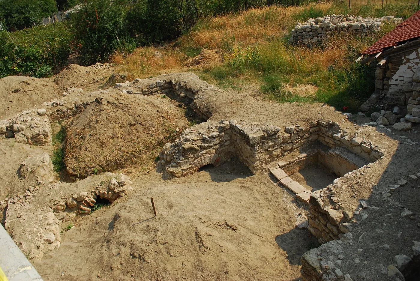
Pietroasa Mică is a village of a few hundred houses at the foot of Istrița hill, in Buzău county. On a slope the locals call Pe Căliman, Romania’s List of Historic Monuments records ten separate things. Five are settlements. Five are cemeteries. They come in pairs: each time someone built a village there, they buried their dead beside it.
The pairs cover nearly five thousand years. The first belongs to the Gumelnița culture, in the fourth millennium BC. The last belongs to the Dridu culture, in the ninth and tenth centuries AD. Between them sit a Bronze Age Monteoru settlement, a Geto-Dacian one running from the fifth century BC to the first century AD, and one of the sixth and seventh centuries.
No other named point in the national list carries more than two such pairs. Pe Căliman has five. The site they belong to gathers 23 recorded entries, the second-highest in the country; the highest, with 27, is in the next village, Pietroasele, in the same commune.
What the list does not say
Ten recorded entries are ten recorded entries, not unbroken habitation. Some two thousand years separate Gumelnița from Monteoru, and the list records nothing there for them. What it does show is different: that the same place was chosen again, five times, by people who had no way of knowing about one another.
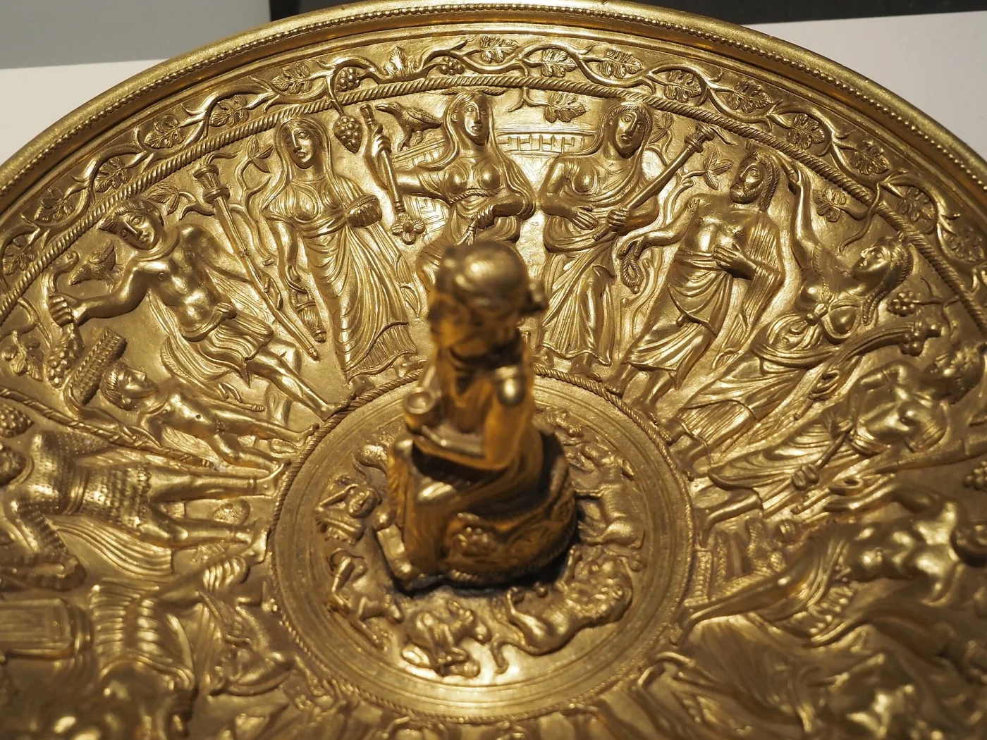
The commune has produced something else. In 1837, at Pietroasele, a late fourth-century gold hoard was found: some twenty-two objects, of which twelve survive. It is known as the Pietroasele treasure, and it is held at the National Museum of Romanian History; between 1916 and 1956 it sat in Moscow.
.jpg)
Even so, the Romanian Wikipedia article on Pietroasele was opened 1,664 times in twelve months. The one on Sarmizegetusa Regia, 41,737 times. The one on Bran Castle, 62,731.
The Buzău hill is one end of a larger count. The rest of this page makes it.

Everything the state has registered, period by period
The archaeological category of the List of Historic Monuments has 9,672 rows. Gathered into sites — a site being a place, its rows the layers — they make 3,843 located sites carrying 7,954 dated layers. The map runs through them in order, from the Palaeolithic to the Middle Ages. Sites from earlier periods stay on the map, fainter, so the record can be seen accumulating. Every point opens its own record: what is there, and the words the list dates it in. The map zooms, and the counties can be taken one at a time.
Loading the map…
The oldest drawing in the list carries no date in it
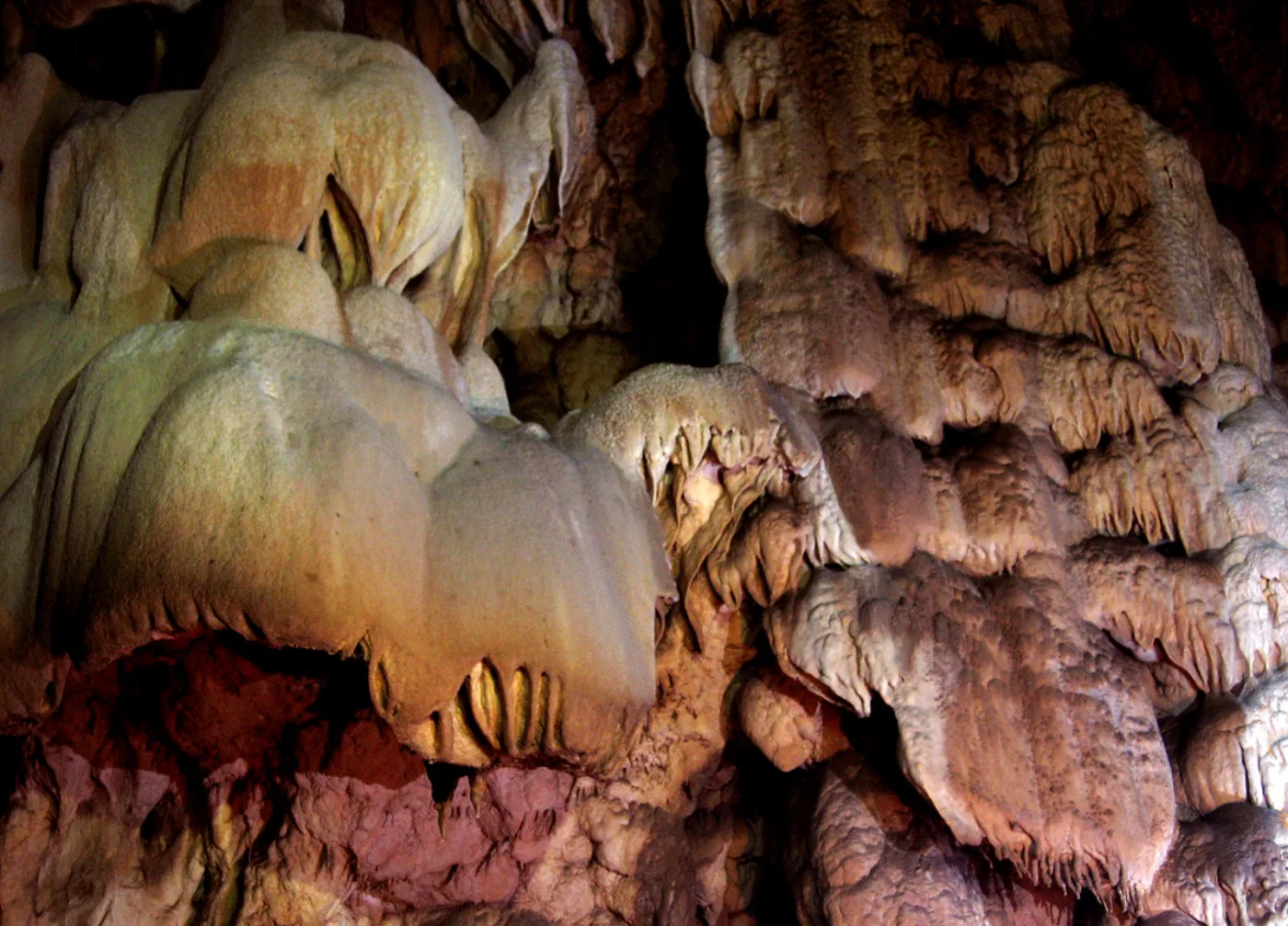
Coliboaia cave, in the Bihor mountains, is listed at class A, of national importance, with its dating field empty. The reason is that its walls were only read in September 2009, when cavers photographed charcoal drawings in one of its galleries: the heads of bison, bears and rhinoceros. Radiocarbon dates published since put them between 32,000 and 35,000 years old. They may be the oldest cave paintings in Central Europe.
The list holds 68 Palaeolithic sites and 11 Mesolithic ones — the fewest of any period, which is what one would expect: a hunting camp leaves less in the ground than a village, and what it leaves lies deeper. The count measures how much has been dug, not how many people passed through.

The oldest ruins are neither Dacian nor Roman
If what you want from everything buried is what is still visible — a rampart, a wall, a building — then the oldest ruins in the country are some thousands of years older than any Dacian fortress. They are Neolithic and Bronze Age fortified settlements, on hills almost nobody climbs.
| Site | Place | County | Earliest built layer, as the list dates it |
|---|---|---|---|
| Gherla, punct „Dealul Coasta” | Hășdate | Cluj | Neolitic |
| Măcicașu, punct „Dealul Horhiș” | Măcicașu | Cluj | Neolitic |
| Piscu Crăsani | Crăsanii de Jos | Ialomița | Neolitic |
| Brad, punct „Zargidava” | Brad | Bacău | Eneolitic, Cultura Cucuteni A-B |
| Anghelești | Anghelești | Vrancea | Eneolitic |
| Batoș | Batoș | Mureș | Eneolitic |
| Fințești | Fințești | Buzău | mil. III - II, Epoca bronzului, Cultura Monteoru |
| Coronini, punct „Cula” | Coronini | Caraș-Severin | Epoca bronzului |
| Porumbenii Mici – Galat (Omlás) | Porumbenii Mici | Harghita | Epoca bronzului, Cultura Wietenberg |
| Ardan, punct „Cetățuie” | Ardan | Bistrița-Năsăud | Epoca bronzului timpuriu |
| Gornea-Sichevița, punct „Dealul Păzăriște” | Gornea | Caraș-Severin | Epoca bronzului |
| Pecica, punct „Șanțul Mare” | Pecica | Arad | Epoca bronzului |
| Pâncești, punct „Cetățuie” | Pâncești | Bacău | Epoca bronzului |
| Sighișoara, punct „Dealul Turcului” | Sighișoara | Mureș | Epoca bronzului, Cultura Wietenberg |
| Șieu-Măgheruș, punct „Cetatea” | Șieu-Măgheruș | Bistrița-Năsăud | Epoca bronzului |
| Cândești, punct „Cetățuia” | Cândești | Vrancea | Epoca bronzului, Cultura Monteoru |
| Cârcea, punct „La Eleșteu” | Cârcea | Dolj | Epoca bronzului |
| Liteni, punct „Piatra Mare” | Liteni | Cluj | Epoca bronzului |
| Orbeasca de Sus, punct „La Cetate” | Orbeasca de Sus | Teleorman | Epoca bronzului timpuriu, Cultura Glina |
| Pir, punct „S-E centru” | Pir | Satu Mare | Epoca bronzului, Cultura Otomani |
The names most people look up come much later on the same scale. Here they are, with the dating the list gives them.
| Site | County | How the list dates it | Layers |
|---|---|---|---|
| Histria | Constanța | sec. VII a. Chr. - sec. VII p. Chr., Epoca greco-romană | 3 |
| Callatis | Constanța | sec. VI a. Chr. - V p. Chr., Epoca greco-romană | 12 |
| Halmyris | Tulcea | sec. IV a. Chr. - VII p. Chr., Epoca greco-romană | 3 |
| Sarmizegetusa Regia | Hunedoara | Epoca geto-dacică | 5 |
| Costești-Blidaru | Hunedoara | sec. I a. Chr. - II p. Chr., Latène | 4 |
| Cetatea dacică de la Bănița | Hunedoara | sec. II a. Chr. - sec. I p. Chr., Epoca dacică, Cultura dacică | 2 |
| Porolissum | Sălaj | sec. I.a. Chr., Latene | 18 |
| Troesmis | Tulcea | sec. I - VII, Epoca romană | 3 |
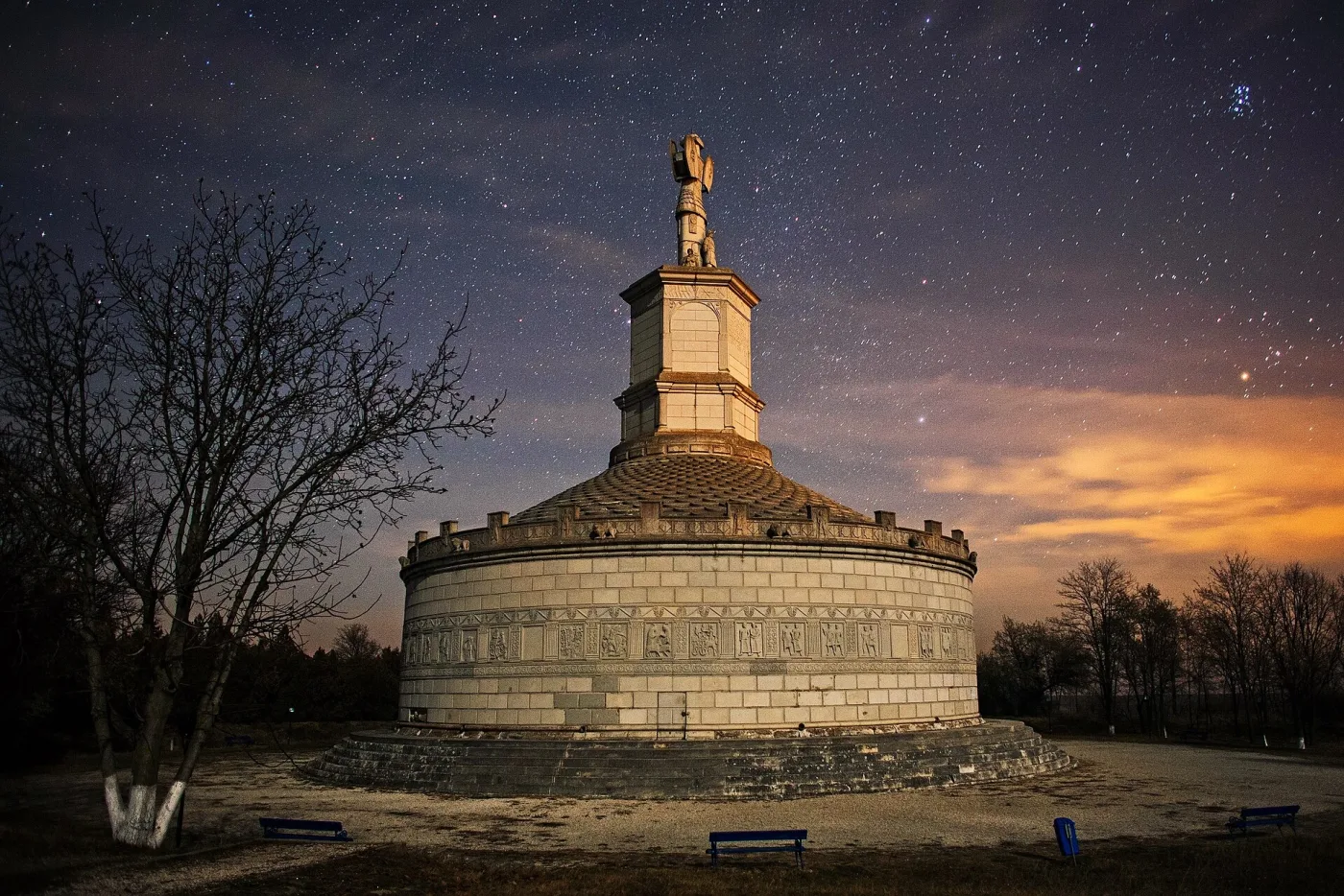
| Adamclisi (Tropaeum Traiani) | Constanța | sec. I p. Chr., Epoca romană | 10 |
| Capidava | Constanța | sec. II - VII, Epoca romană | 4 |
| Ulpia Traiana Sarmizegetusa | Hunedoara | sec. II - III p. Chr. | 1 |
| Dinogetia | Tulcea | sec. IV - VI p. Chr., Epoca romano-bizantină | 5 |
Prehistory weighs about as much as the Dacians and Romans together
The period with the most sites is the Roman band, with 1,182 — but that label is chronological, and I come back to it. Next is the Middle Ages, with 1,049, then the Bronze Age, with 1,040. The Bronze Age alone holds nearly as many sites as La Tène, the Geto-Dacian period: 1,040 against 939.
The seven periods before the Dacians hold 1,850 sites and 2,800 layers. La Tène and the Roman period together hold 1,897 sites and 2,624 layers. The two halves of the past are nearly equal in the list, and one of them is not in the schoolbooks.
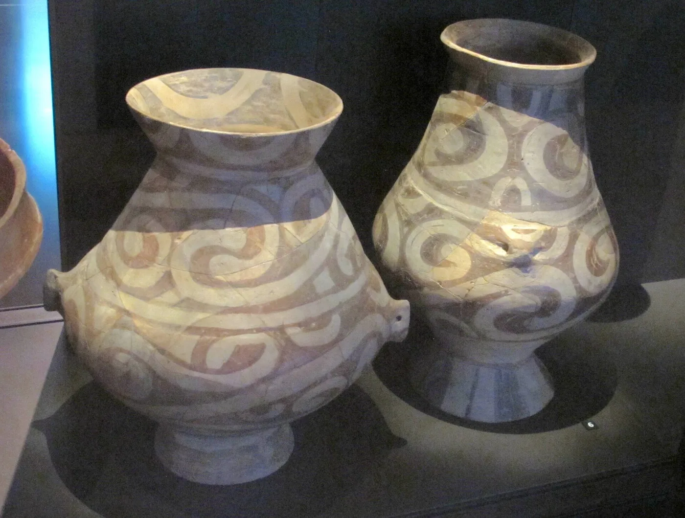
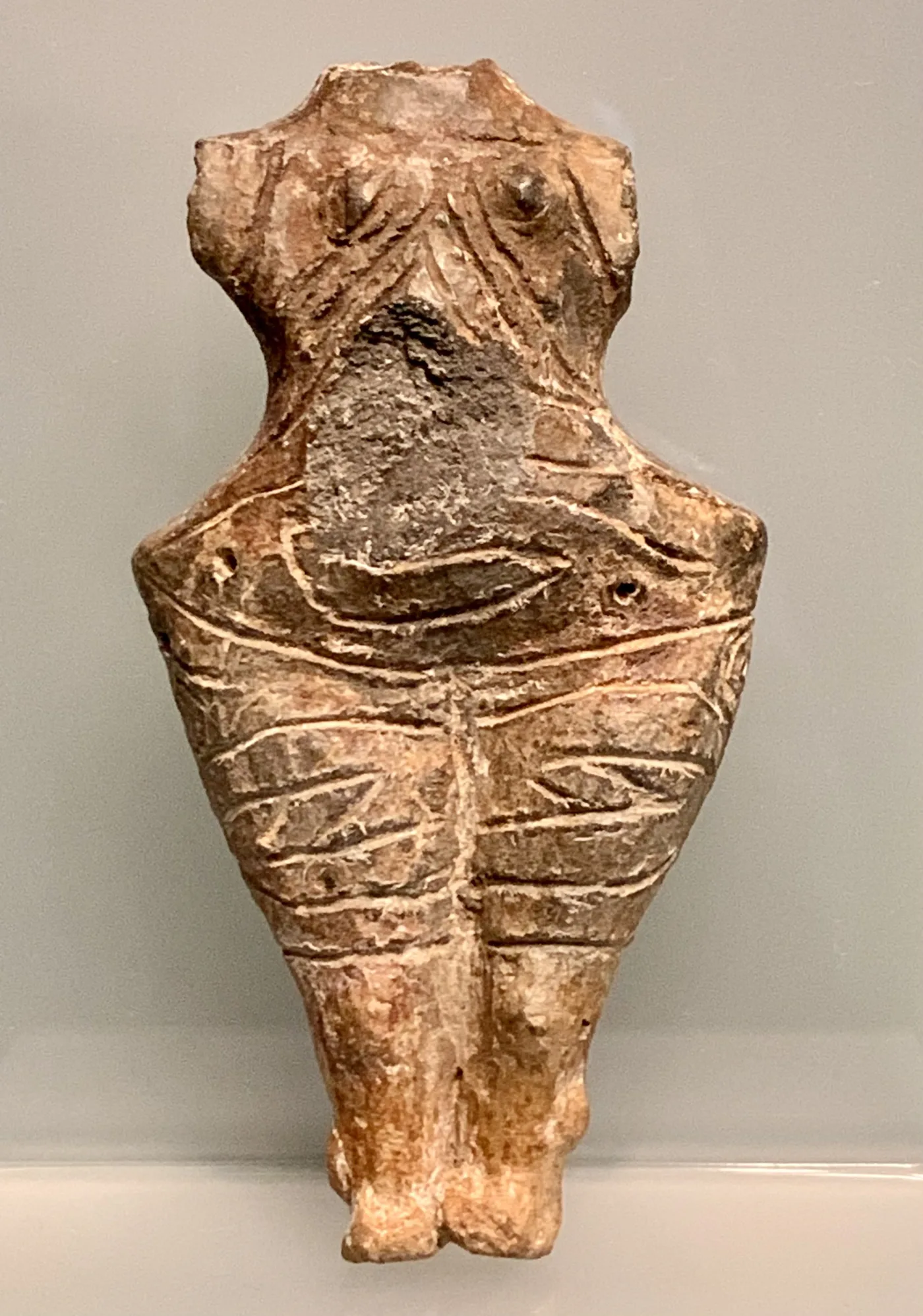
Prehistoric cultures are named after the village where they were first dug. Cucuteni is a village in Iași county, Gumelnița a tell near Oltenița, Monteoru a spa in Buzău, Coțofeni a village in Dolj, Glina a commune on the edge of Bucharest. The names of these places now sit on museum labels across Europe.

.jpg)
The Dacians have 939 sites in the list and one name anybody looks up
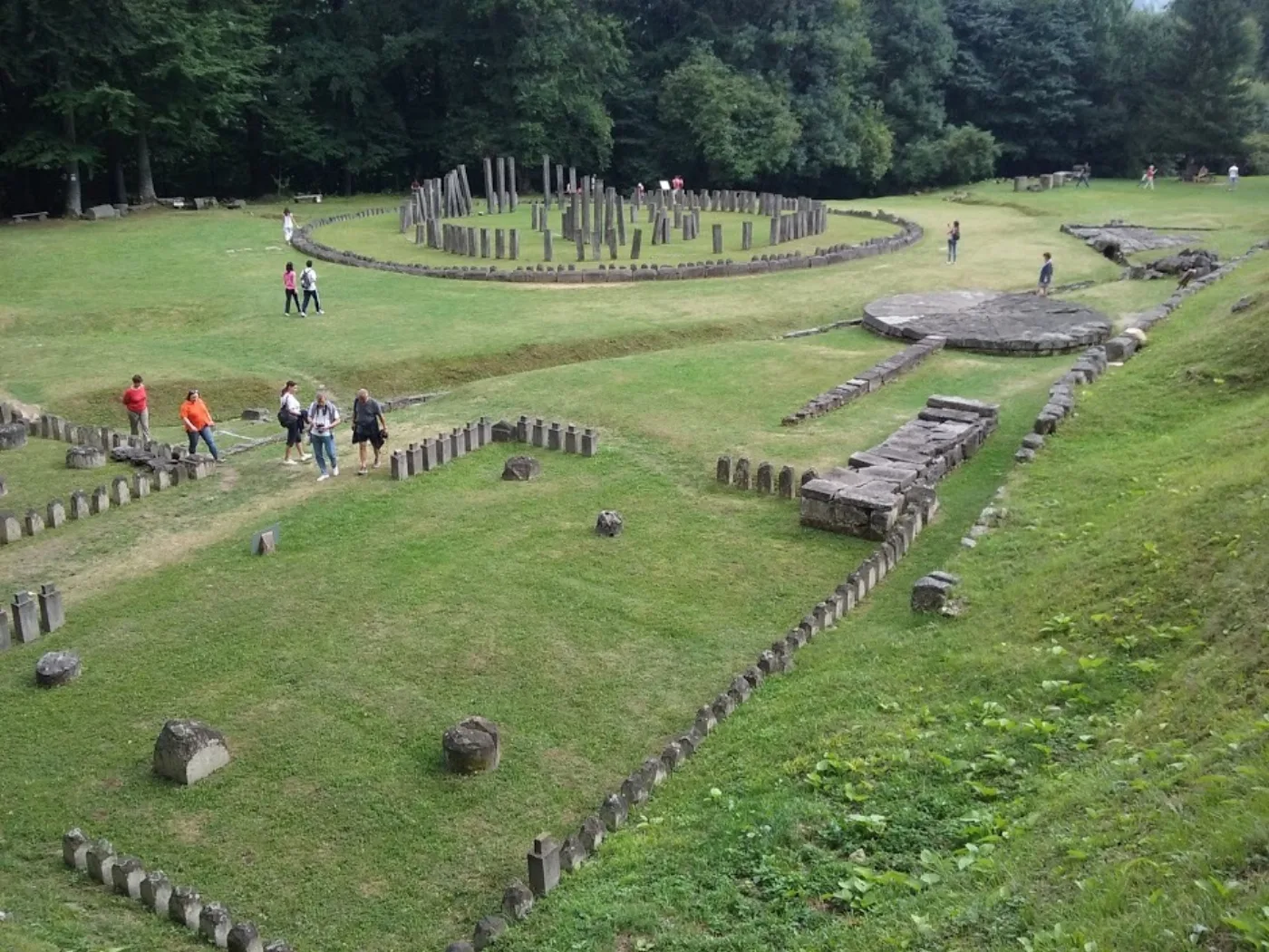
The La Tène period — the one the Geto-Dacian world falls into — has 939 sites in the list. Almost all are settlements: ploughed soil, sherds, pits. The stone fortresses of the Orăștie mountains, which take up everything said publicly about the Dacians, are a handful.
Sarmizegetusa Regia was read 41,737 times on Romanian Wikipedia in twelve months; the fortress at Costești-Cetățuie, 2,295 times — eighteen times fewer, though the list places both at class A.


“Roman period” is a date, not a rule
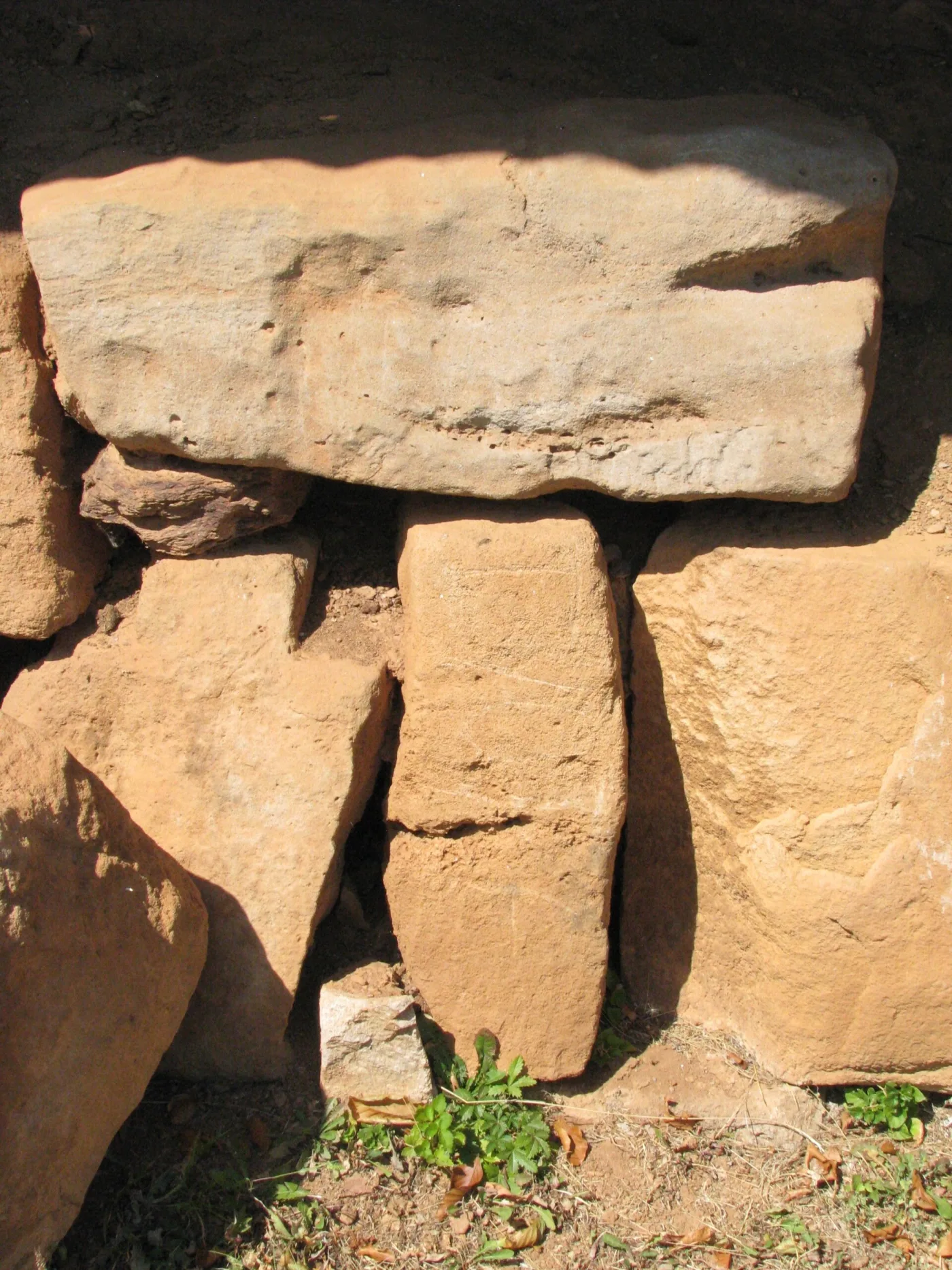
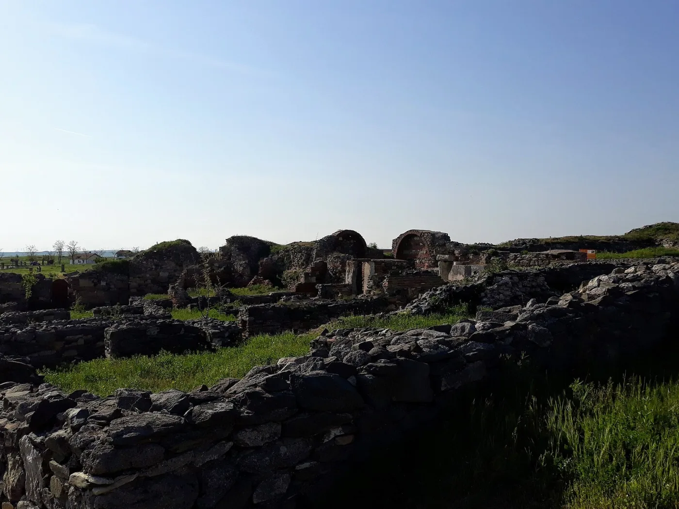
1,182 sites in the list fall inside the Roman band. The number does not mean what it looks like it means. Beyond the province’s frontier — in Moldavia and most of Wallachia — archaeologists still date second- and third-century material to “the Roman period”, because that is what the interval is called. The label is chronological.
The Roman state shows up in the object, not the date. The list records 104 sites with forts, 54 with villae rusticae, 12 with baths, 8 with aqueducts, 6 with amphitheatres and 2 with limes works. 170 sites in all — against 1,182 dated to the Roman band.
Why the earthworks are not counted here
Valul lui Traian in Dobrogea carries a Roman name, but current scholarship dates it centuries later, and Brazda lui Novac is contested. The earthwork ramparts stay on the map as sites, but they do not count as evidence of Roman presence.



The places people kept coming back to
Of the 3,843 sites, 2,288 carry a single attested period. 64 carry six or more.
The table also measures excavation
A site with one period is not a place nobody lived in; it is a place less dug. Buzău county appears repeatedly in the table below partly because its section of the list names each point separately — “Pe Căliman”, “Coasta Rusului”, “Via lui Despan” — where other counties enter a single site with no points at all. The depth here is a lower bound, not a measure of habitation.
| Site | Place | County | Periods | Layers |
|---|---|---|---|---|
| Târgșoru Vechi | Târgșoru Vechi | Prahova | 8 | 11 |
| Baciu, punct „Strada Nouă” | Baciu | Cluj | 8 | 9 |
| Mogoșoaia, de la „Chitila Fermă” | Mogoșoaia | Ilfov | 8 | 9 |
| Mălușteni, punct „Leaua” | Mălușteni | Vaslui | 8 | 9 |
| Pietroasa Mică | Pietroasa Mică | Buzău | 7 | 23 |
| Morești, punct „Podei sau Cetățuia” | Morești | Mureș | 7 | 10 |
| Rateșu Cuzei, punct „La Chiuă” | Rateșu Cuzei | Vaslui | 7 | 10 |
| Hârtoape, punct „Poenița - Moară” | Hârtoape | Iași | 7 | 9 |
| Lunca, punct „Poiana Slatinii” | Lunca | Neamț | 7 | 9 |
| Spinoasa, punct „Poala Catargului” | Spinoasa | Iași | 7 | 9 |
| Batoș, punct „Gledinel” | Batoș | Mureș | 7 | 8 |
| Cefa, punct „La Pădure” | Cefa | Bihor | 7 | 8 |
| Drobeta Turnu Severin, punct „Schela Cladovei” | Drobeta Turnu Severin | Mehedinți | 7 | 8 |
| Dejuțiu - Kerekhely | Dejuțiu | Harghita | 7 | 7 |
| Hunedoara, punct „Dealul Sânpetru” | Hunedoara | Hunedoara | 7 | 7 |
| Lechința de Mureș, punct „Săliște” | aparținător Lechința de Mureș | Mureș | 7 | 7 |
| Prăjeni, punct „Nelipești” | Prăjeni | Botoșani | 7 | 7 |
| Ulmeni | Ulmeni | Buzău | 7 | 7 |
| Valea Lupului | Valea Lupului | Buzău | 7 | 7 |
| Nenciulești | Nenciulești | Buzău | 6 | 16 |
| Săftica | Săftica | Ilfov | 6 | 14 |
| Bălăceanca, punct „Vatra satului” | Bălăceanca | Ilfov | 6 | 12 |
| Bălțați, punct „Cantoanele CFR” | Bălțați | Iași | 6 | 11 |
| Poșta | Poșta | Ilfov | 6 | 11 |
| Budureasca | Vadu Săpat | Prahova | 6 | 10 |
| Crivești, punct „Hârtop” | Crivești | Iași | 6 | 10 |
| Căldăraru | Căldăraru | Ilfov | 6 | 10 |
| Izvoru Dulce | Izvoru Dulce | Buzău | 6 | 10 |
| Lețcani | Lețcani | Iași | 6 | 10 |
| Holboca, punct „Peste Baltă” („Pârliți”) | Holboca | Iași | 6 | 9 |
| Săhăteni | Săhăteni | Buzău | 6 | 9 |
| Șpălnaca | Șpălnaca | Alba | 6 | 9 |
| Curtea Veche | București | București | 6 | 8 |
| Militari - Câmpul Boja | București | București | 6 | 8 |
| Cogeasca, punct „Moară” („Dealul Rușilor”) | Cogeasca | Iași | 6 | 8 |
| Dodești, punct „La Șipot” | Dodești | Vaslui | 6 | 8 |
| Lunca Cetățuii, punct „Zâne” | Lunca Cetățuii | Iași | 6 | 8 |
| Mogoșești, punct „Dealul Bățului”, cartier Galata | Mogoșești | Iași | 6 | 8 |
| Măgurele | Măgurele | Ilfov | 6 | 8 |
| Cățelu Nou | București | București | 6 | 7 |
| Aldeni | Aldeni | Buzău | 6 | 7 |
| Bragadiru | Bragadiru | Ilfov | 6 | 7 |
| Leț | Leț | Covasna | 6 | 7 |
| Sălcioara | Sălcioara | Buzău | 6 | 7 |
| Sărata Monteoru, punct „Dealul Cetățuia” | Sărata Monteoru | Buzău | 6 | 7 |
| Tureni, punct „La Furci” | Tureni | Cluj | 6 | 7 |
| Vârteju | Vârteju | Ilfov | 6 | 7 |
| Cetatea Budvár | Odorheiu Secuiesc și sat Hoghia, Feliceni | Harghita | 6 | 6 |
| Dealul Ciurel | București | București | 6 | 6 |
| Mugeni - Vízlok | Mugeni | Harghita | 6 | 6 |
| Aiud, punct „Tinoasa” | Aiud | Alba | 6 | 6 |
| Andrieșeni | Andrieșeni | Iași | 6 | 6 |
| Avântu, punct „Prosia” | Avântu | Iași | 6 | 6 |
| Berghin, punct „Hamboc - Ciorcobară” | Ghirbom | Alba | 6 | 6 |
| Bod | Bod | Brașov | 6 | 6 |
| Băile Herculane, punct „Peștera Hoților” | Băile Herculane | Caraș-Severin | 6 | 6 |
| Cicău | Cicău | Alba | 6 | 6 |
| Cluj-Napoca, punct „La Stăvilar” | Cluj-Napoca | Cluj | 6 | 6 |
| Gherla, punct - „Bumaș” | localitatea Băița | Cluj | 6 | 6 |
| Nichiteni, punct „Pârâul Calului” | Nichiteni | Botoșani | 6 | 6 |
| Popești-Leordeni | Popești-Leordeni | Ilfov | 6 | 6 |
| Slobozia, punct „Râpa Bulgarilor” | Slobozia | Giurgiu | 6 | 6 |
| Târpești, punct „La Râpa lui Bodai” | Târpești | Neamț | 6 | 6 |
| Ziduri-între-vii | București | București | 6 | 6 |
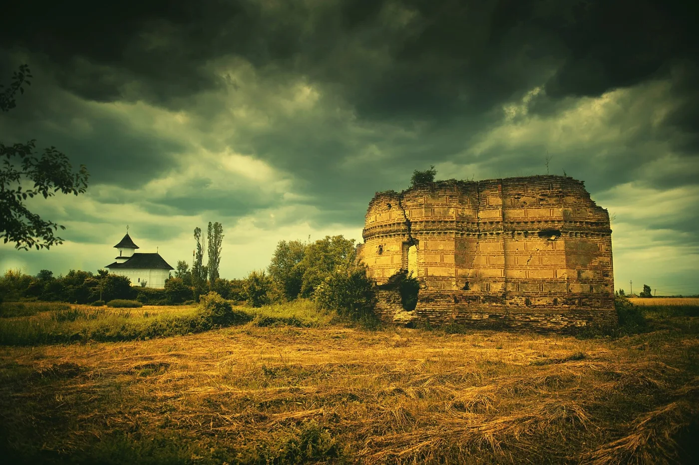
Târgșoru Vechi, nine kilometres from Ploiești, carries eleven dated layers: two Neolithic settlements, one Chalcolithic, one Bronze Age, one Hallstatt, one La Tène, a settlement and a cemetery of the second and third centuries, a fourth-century cemetery, a fifth-to-seventh-century settlement and one of the fifteenth to seventeenth. Its Wikipedia article was opened 984 times in twelve months.
.jpg)
What the record underneath is made of
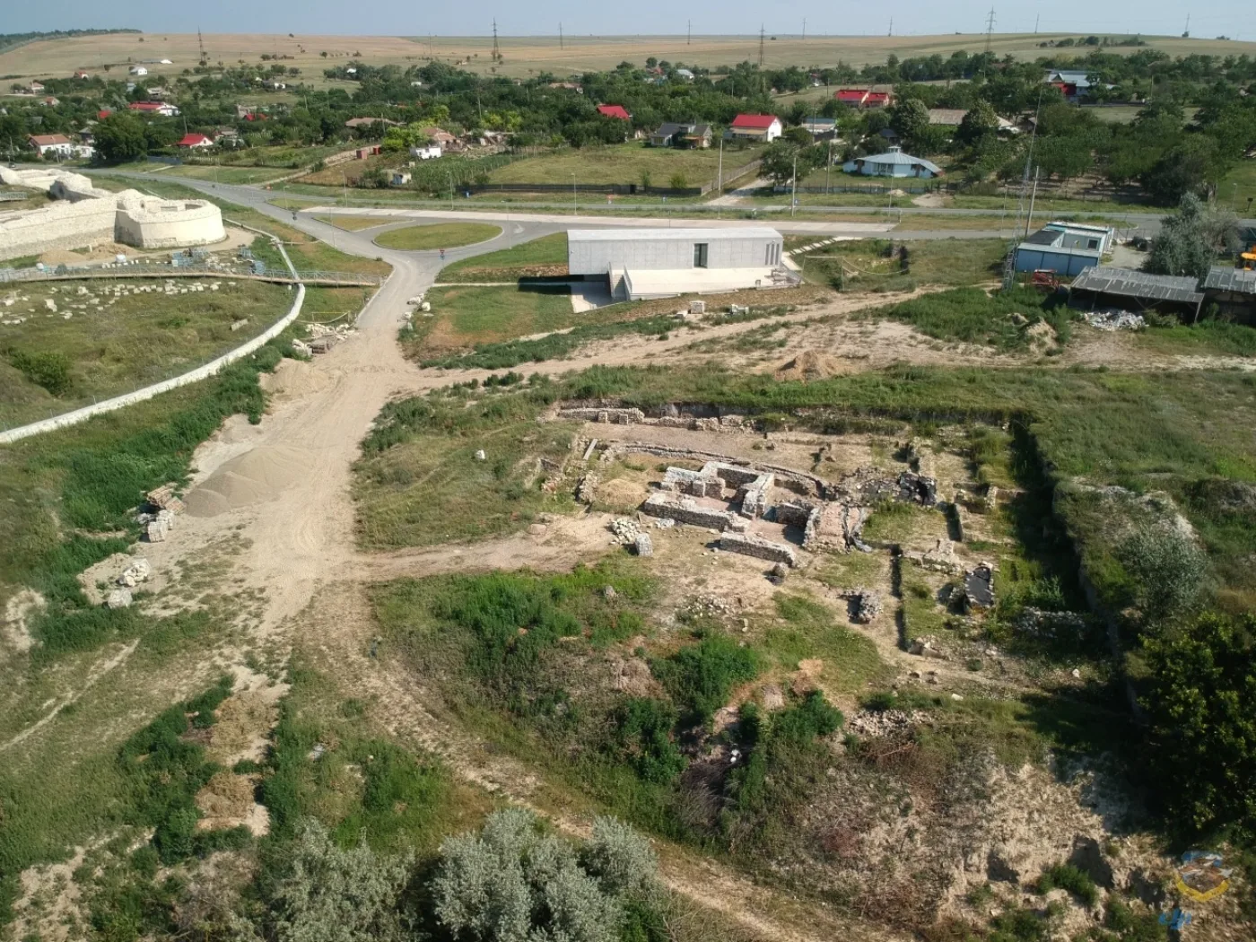
The 7,954 dated layers, by what the list says is there.

How the dating was done
The heritage list writes its dating as free text, and the text usually says three things in order: the span, the period and the culture — “sec. IV – III a. Chr., Latène, Cultura geto-dacică”. Each layer gets exactly one period, by this rule:
- If the list names the period, that period is taken as written.
- If it names only a culture, the culture’s period is used.
- If it gives nothing but a century, a millennium or a year, the period is the one containing the midpoint of the interval.
Periods are consecutive and never overlap, so a layer cannot be counted twice. The table below gives every span. For a layer dated only to a period, the map invents no year: the point appears at the period’s start, and its card shows exactly what the list says.
| Period | Span | Sites | Layers |
|---|---|---|---|
| Palaeolithic | 40,000 BC – 10,000 BC | 68 | 78 |
| Mesolithic | 10,000 BC – 5,500 BC | 11 | 11 |
| Neolithic | 5,500 BC – 4,500 BC | 490 | 535 |
| Chalcolithic | 4,500 BC – 3,500 BC | 351 | 405 |
| Transition to Bronze Age | 3,500 BC – 2,500 BC | 72 | 77 |
| Bronze Age | 2,500 BC – 1,150 BC | 1,040 | 1,160 |
| Hallstatt | 1,150 BC – 450 BC | 509 | 534 |
| La Tène | 450 BC – 106 AD | 939 | 1,051 |
| Roman period | 106 AD – 275 AD | 1,182 | 1,573 |
| Late antiquity | 275 AD – 900 AD | 669 | 823 |
| Middle Ages | 900 AD – 1,600 AD | 1,049 | 1,395 |
| Modern period | 1,600 AD – 1,900 AD | 143 | 181 |
Of 9,672 archaeological rows, 7,954 carry a date and could be placed on the map. 131 layers say only “Preistorie” or “Epoca antică” and are held out of the period counts; the 86 sites for which that is the only dating appear in none of the map’s periods, which is the difference between the site count and the figure the map shows under “show all”. Rows with no dating at all do not appear at all.
A site is a family of rows sharing one code number: the head row, which names the place, and its components, which are the layers. Coordinates are the monument’s where the list gives them and the village’s otherwise; at national scale the difference does not matter, and no distance in the text rests on them.
Sources
- Romania’s List of Historic Monuments, category I (archaeology), 2015 edition and later amendments, in the structured transcription on Romanian Wikipedia. Every site, dating, class and name comes from it.
- Wikimedia Commons — the photographs, with author and licence under each.
- Wikimedia REST API — monthly pageviews of Romanian Wikipedia articles, September 2025 to August 2026.
- Coliboaia cave — dates published after the September 2009 discovery; the heritage list carries no dating for it at all.
- The Pietroasele treasure — National Museum of Romanian History.
Every figure in the text is computed from the same list that draws the map. What the list cannot say, the page does not say either: it records no excavations, no finds, and nothing about who the people buried there were.