From the river, towards which bank?
The port is under Stephen’s rule. Locating it means comparing two candidate zones, without drawing walls, quays or cargo that the sources do not document.
1470 is an editorial viewpoint date, within the period of Moldavian control.
Chilia Veche (Romania) · ◌ Older interpretation
Maxim (2002) describes an old fortress on the south bank, replaced by one on the north bank. The name Chilia Veche alone does not establish the site of the port captured in 1465.
Kiliia (Ukraine) · ◌ Published interpretation
Preoteasa and colleagues (2023) argue for the medieval settlement at present-day Kiliia on the Ukrainian bank, using archaeological material and critical reading of texts and maps. This is not a measured fortress outline.
Control changes. Which site do the sources describe?
Chilia passed to Ottoman rule in 1484. The consulted sources support the year; the early location still requires attribution of each interpretation.
Chilia Veche (Romania) · ◌ Disputed relocation
Maxim associates 1479 with repairs and the replacement of a southern fortress by a northern one. That reading does not establish a certain relocation here.
Kiliia (Ukraine) · ◌ Argued medieval settlement
Preoteasa and colleagues’ north-bank argument concerns the medieval settlement. The change of control in 1484 does not turn that argument into a fortification plan.
Mihai Maxim · 2002Encyclopedia of UkrainePreoteasa et al. · 2023
The river changes. The fortress has another history.
Channel evolution and the disappearance of buildings have different evidence. A modern map alone cannot recover medieval banks.
Chilia Veche (Romania) · ◆ Environmental context for both banks
Preoteasa and colleagues (2021) study northern Delta landscape change through dated sediment cores and historical and archaeological evidence. The research does not establish that erosion destroyed the fortress.
Kiliia (Ukraine) · ▧ Documentary history
According to Sapozhnikov (2020), the old enclosure was replaced in 1795–1796 and the later fortress was destroyed in 1856. Primary demolition records remain to be verified.
A later plan, kept in its own period
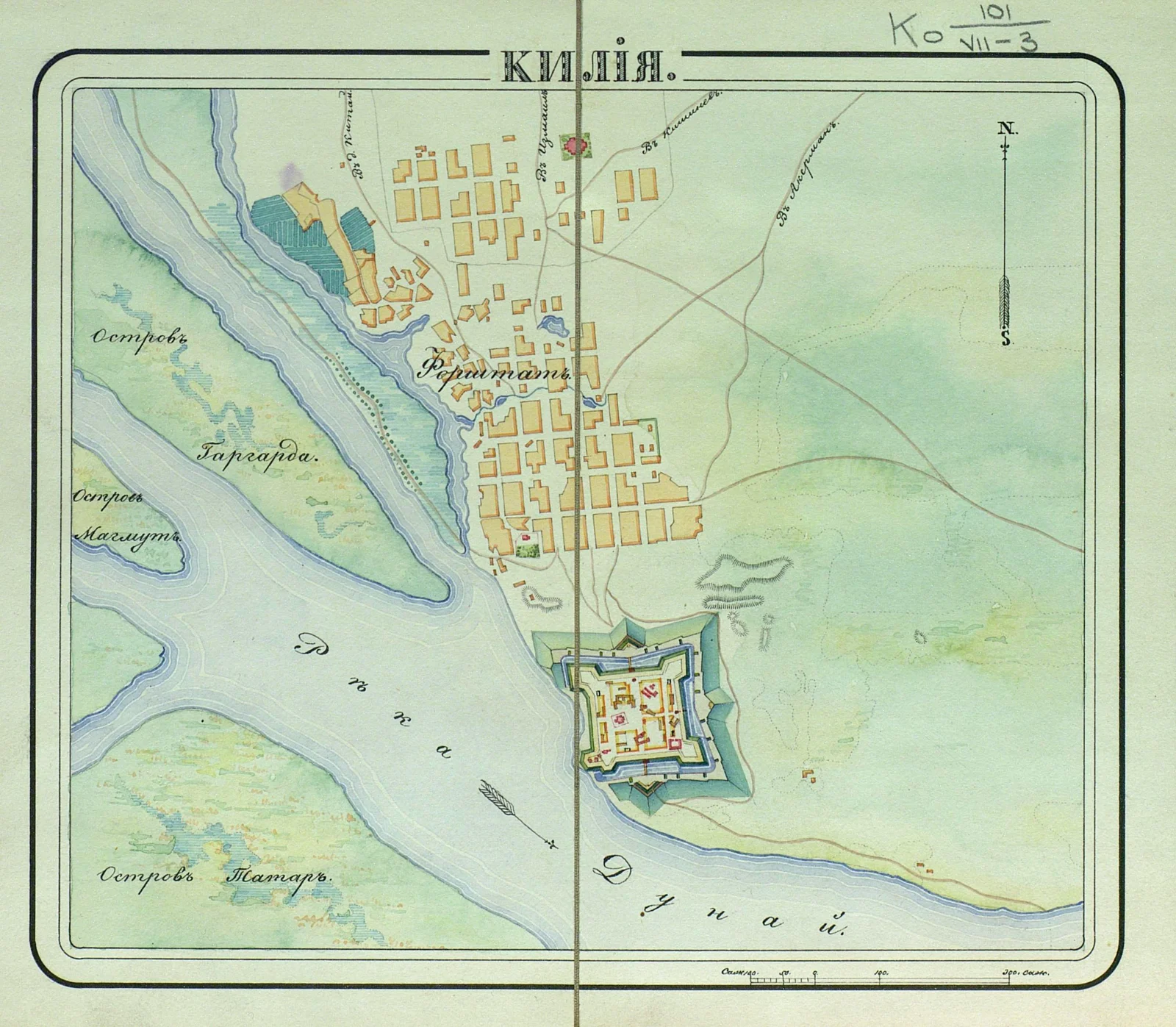
The sheet from the Atlas of the Fortresses of the Russian Empire is catalogued to the 1830s. It depicts a later phase; it is not overlaid on the banks or used as an image of the fortress in 1484.
Chilia Veche (Romania) · ● Present-day name
Chilia Veche remains the southern reference point of the comparison. This later plan does not demonstrate a medieval enclosure here.
Kiliia (Ukraine) · ▧ Later-phase plan
Sapozhnikov compares north-bank fortress records and warns about incompatible scales. The exact date of the 1830s sheet and its registration anchors remain unresolved.

A name, a find, an argued site
Chilia Veche is on the Romanian bank; Kiliia is on the Ukrainian bank. The two photographs show the modern towns.
Chilia Veche (Romania) · ◆ Reported medieval material
Micu, Ailincăi and Stănică (2012) report medieval material south of Chilia Veche, between Săliște and Câșla-Chiliei, through archaeological inventory and surface research. Burial excavation at Ciorticut is a separate evidence category. This research does not demonstrate a fortress enclosure.
Kiliia (Ukraine) · ◌ Argued location
Preoteasa and colleagues (2023) favour Kiliia for the medieval settlement. Sapozhnikov recorded an absence of scientific fortress excavation in 2020; this does not establish the state of research today.
Micu, Ailincăi, Stănică · 2012Preoteasa et al. · 2023Ihor Sapozhnikov · 2020


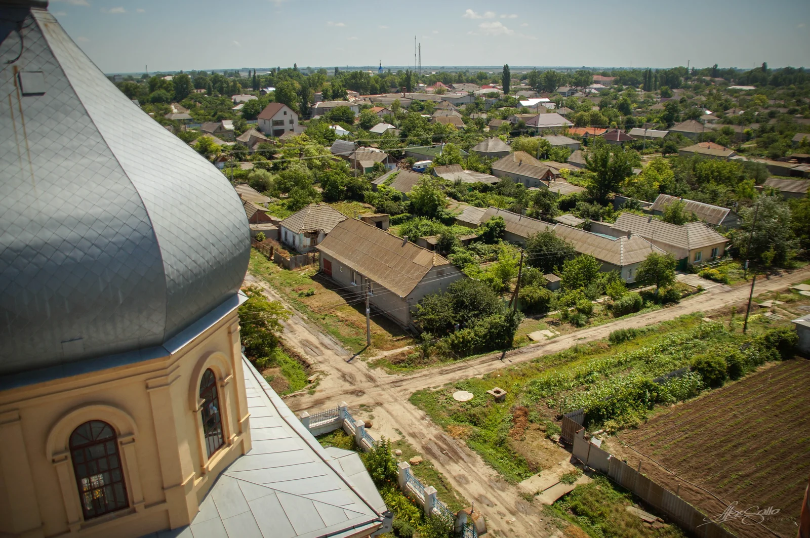

The photographs show modern places; the camera position does not locate the fortress.