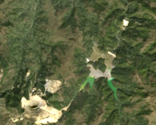
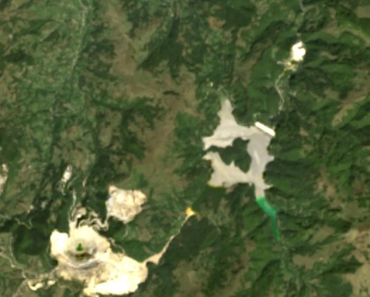
1975-08-16 · Landsat 2
The valley, before
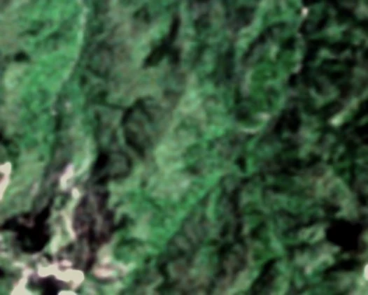
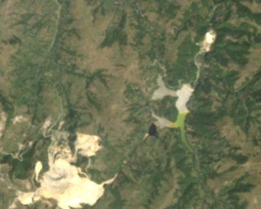
This is the valley of the Șesei, a stream that runs into the Arieș river, photographed by Landsat 2. At 60 metres a pixel the houses are invisible; the forest, the hay meadows and the tracks are not.
In 1941 the village of Geamăna, with all its hamlets, had 1,326 people. From 1956 the hamlets were counted as separate villages. By 1977 Geamăna itself had 45 people, and about 720 with its former hamlets.
1978
The waste had to go somewhere
Roșia Poieni holds more than a billion tonnes of ore at 0.36% copper: about 60% of Romania's copper reserves, according to the state-owned company that runs it, Cupru Min. The copper is separated by flotation, and almost everything else, ground rock mixed with water, is tailings.
The place chosen for them was the Șesei valley. The pond "came into operation at the end of 1978", the company writes. Emil Roșca, from Pârâu Cărbunari, a former hamlet of Geamăna, recalled the compensation in 2019: "There were three categories: the poor, the better-off and the well-off."
Sources: Cupru Min, Alba24, 2020, G4Media, 2019 (in Romanian)
1988
The grey stain
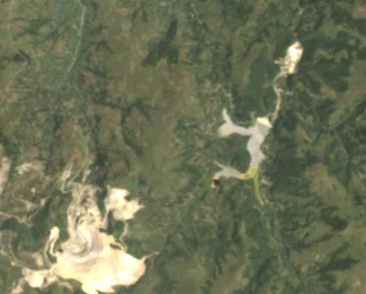
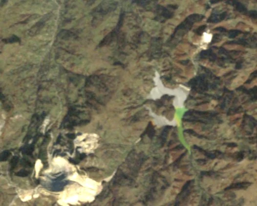
By 1988 the tailings show from space as a pale stain behind the dam. The warmer-tinted area is what the photographs show covered in the year on screen.
Families left one by one, for little money. The sources disagree on how many: more than 300 families expropriated in the early 1980s, the daily Adevărul wrote in 2014; 400, Alba24 wrote in 2021; 480 after 1982, Adevărul wrote in 2023. Those whose houses stood above the village centre were allowed to stay.
February 2000 · Space Shuttle Endeavour
The valley gets its relief
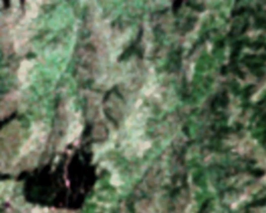
Between 11 and 22 February 2000 the Space Shuttle Endeavour measured, by radar, the height of about 80% of Earth's land, between 60° N and 56° S. From here on we have heights as well as photographs.
The village church stood on a knoll, about a hundred metres from the village centre. Its base was 685 m above sea level. The tailings next to it had reached 677 m: still 8 m below.
2000 → 2013
The tailings reach the church
Scroll slowly: the years pass with the page. The tube in the corner shows the tailings against the church's base (the yellow line); the mark above it is a person's height.
The summer 2007 photograph still shows green around the church. The summer 2009 photograph shows tailings.
2013
Up to the roof
In September 2013 the magazine Historia reported that "the mud has reached the level of the roof". The TerraSAR-X and TanDEM-X radar satellites, which surveyed the valley between 2011 and 2015, put the surface next to the church at 693 m, 8 m above its base: about the height of a two-storey house.
"When the church is completely covered by the tailings, the village will be dead, as I see it," Niculai Prața, a former villager, said at the time.
Sources: Historia, 2013 (in Romanian); the heights: how this was measured
2004
Why the lake changes colour
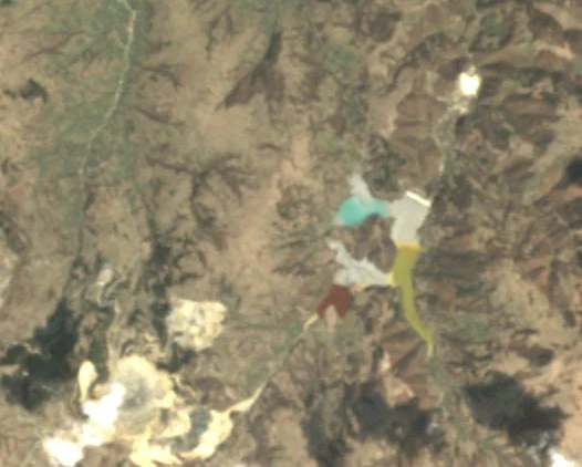
The tailings settle grey along the edges. Water collects in the lower part of the pond, and its colour changes from year to year.
The Roșia Poieni ore contains pyrite and chalcopyrite. Exposed to air and water, their oxidation turns the water acid and dissolves iron; when the iron later settles out as hydroxides, the deposits turn rust-coloured. The acid water draining off the waste dumps has a pH of 1.5 to 2.8, the company writes: about as acidic as lemon juice.
Sources: Melenti et al., Babeș-Bolyai University, 2011; Cupru Min (in Romanian)
2018
Brick red
"In 2017 the tailings pond was brick red," Sorin Vlad, head of the Alba county water authority, said in 2021. It looks that way from orbit too: on almost every summer photograph up to 2018, the pool in the western arm is reddish brown.
2021
Turquoise
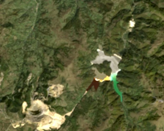
From 2019 the photographs show the western pool turning yellow-green and the eastern one turquoise. In 2021 the director described the water as "blue-turquoise". He put the change down to lime: the company doses a 3–10% lime slurry into the acid water draining off its waste dumps. The pH of the water leaving the pond had been 4 in 2009 and was 7 in 2020.
Lime lowers the acidity. What happens to the metals in the tailings is a separate question: the statements about the colour change give no metal measurements.
Source: Alba24, 2021 (in Romanian)
The dam
The dam keeps growing too
The dam, built of limestone rockfill, was 70 metres high at first, with its crest at 680 m. The 2000 radar finds it at 683 m, the 2011–2015 radar at 695 m. A 2022 project raised it to 710 m, "the final elevation in the approved technical design".
In May 2026 the company applied for environmental approval to go to 712 m. In June it sought a designer for 715 m.
By 1 January 2020 some 67 million tonnes of tailings had collected here. In 2019 alone, three million tonnes arrived: about 5.8 tonnes a minute.
Since you opened this page, at the 2019 rate, 0 tonnes of tailings have reached the pond.
Sources: Alba24, May 2026; Alba pe surse, June 2026 (in Romanian)
2025-07-02
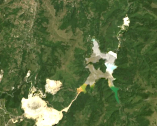
Today
On the 2025 photograph the unvegetated ground in the valley, the tailings and their pools, covers 146 hectares. At the 2011 and 2021 censuses the village of Geamăna had no inhabitants. In 2023, fewer than 15 people still lived in the scattered houses on the hills around the pond.
Aurelia Prața, who was 78 in 2023, left in 2022, when the water at the tail of the pond reached her house in Valea Holhorii, a former hamlet of Geamăna.
Source: Adevărul, 2023 (in Romanian)