Chapter 1 · Maps and coordinatesLesson 1.5Humanities track
The evolution of geography and its importance today
How did a scholar in Alexandria work out the size of the Earth over 2,200 years ago, without leaving Egypt?
Before you read: what do you think?
Columbus reached America in 1492. How long before that had the size of the Earth been calculated?
See the answer
Over 1,700 years. Over 1,700 years. Eratosthenes calculated the circumference of the Earth around 240 BC, from the shadow of a stick. Greek scholars knew that the Earth was round as early as around 500 BC.
Around 240 BC, Eratosthenes, chief librarian at the Library of Alexandria, heard from travellers that at noon on the summer solstice in Syene, southern Egypt, sunlight reached the bottom of a well, leaving no shadow. In Alexandria, at the same time on the same day, a vertical stick cast a shadow. From the angle of that shadow and the distance between the two cities, Eratosthenes calculated the circumference of the Earth.
Antiquity: measuring and mapping the Earth
Eratosthenes’ calculation comes down to a division. The shadow of the stick at Alexandria showed an angle of 7.2°, which fits into a full circle 50 times. The distance from Alexandria to Syene therefore had to be one fiftieth of the distance around the Earth.
Ancient Greeks knew that the Earth was round long before Eratosthenes; the idea appeared around 500 BC. Eratosthenes was the first to calculate its size, using a method that joined geometry with observation. His result, 250,000 stadia, is close to the actual value.
Around AD 150, also in Alexandria, Ptolemy wrote Geography, a work that gives the latitude and longitude of each known place and explains how to draw a map. The coordinate system used today has its roots here. In antiquity, geography was concerned chiefly with measurement and description: where each place was and what it looked like.
The great geographical discoveries: filling in the world map
Between the 15th and 17th centuries, European navigators reached places missing from their maps. Christopher Columbus reached America in 1492, and Vasco da Gama opened the sea route to India in 1498. The expedition that set out under Ferdinand Magellan in 1519 made the first voyage around the Earth. Magellan died in battle along the way, and in 1522 Juan Sebastián Elcano brought one of the five ships back to Spain, with 18 men out of about 270.
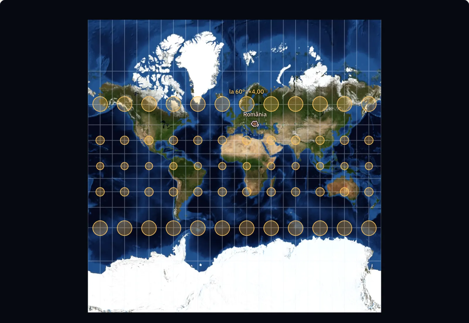
Long-distance navigation demanded better maps. In 1569, Gerardus Mercator presented the projection that bears his name, on which a route of constant direction appears as a straight line.
The 19th century: geography begins to explain
The Germans Alexander von Humboldt (1769–1859) and Carl Ritter (1779–1859) are regarded as the founders of modern geography. Humboldt travelled through Central and South America between 1799 and 1804, measuring temperatures, altitudes and pressures and recording which plants grew at each height. In 1817 he drew the first isotherms, lines joining places with the same average temperature, allowing him to compare the climates of distant regions.
From 1825 Ritter held the first chair of geography at the University of Berlin and studied the links between nature and human societies. With them, the geographer’s questions changed: alongside “where is it?”, geography asks “why there?” and “how is it connected to what surrounds it?”
For the curious
Humboldt’s comprehensive work Kosmos appeared between 1845 and 1862.
Geography today: satellites, computers and decisions
Today’s geographer works with satellite images, satellite positioning and geographical information systems, which use computers to overlay layers of data about the same area. Field observation remains necessary because it checks what can be seen from above.
The results inform decisions that affect everyone: where buildings can be constructed without danger from floods or landslides, where a road should run, how a region’s climate is changing, where forests are retreating and how cities are growing. Geography connects nature and society and looks at each place together with its surroundings.
Worked example
Eratosthenes’ calculation
At Alexandria, the shadow of the stick showed that the Sun’s rays fell at 7.2° to the vertical. At Syene, at the same moment, they fell exactly vertically. The Sun’s rays are virtually parallel, so the angle of 7.2° is also the angle between the two cities, measured from the centre of the Earth.
A full circle has 360°, and 360 ÷ 7.2 = 50. The distance between Alexandria and Syene is therefore one fiftieth of the Earth’s circumference. People paid to measure the road by pacing found 5,000 stadia, so the circumference is 50 × 5,000 = 250,000 stadia.
The exact length of the stadion used by Eratosthenes is no longer known. Depending on the value chosen, his result comes to approximately 38,600–46,700 km. The actual circumference of the Earth is approximately 40,000 km.
In Romania
Mehedinți, Vâlsan and de Martonne
The Romanian Geographical Society was founded in 1875. At the University of Bucharest, Simion Mehedinți (1868–1962) became the holder of the country’s first chair of geography in 1900 and gave his first lecture on 3 November 1900. His work Terra: Introduction to Geography as a Science (1931) describes the Earth as a whole made up of interconnected layers.
George Vâlsan (1885–1935), a student of Mehedinți, was the first person in Romania to earn a doctorate in geography, with his thesis The Romanian Plain (1915). He later became a professor in Cluj, where he founded the Institute of Geography.
The French geographer Emmanuel de Martonne (1873–1955) carried out field research in the Southern Carpathians between 1898 and 1906. His thesis on Wallachia appeared in 1902, followed in 1907 by his thesis on the evolution of the landforms of the “Transylvanian Alps”, as he called the Southern Carpathians. He described traces of glaciers in the Parâng and Retezat mountains and the smoothed surface on the high ridges known as the Borăscu platform. In 1919 he was an expert at the Paris Peace Conference, on the commissions that drew Romania’s western border.
In brief
- In antiquity, geography measured and described the Earth: Eratosthenes calculated its circumference around 240 BC, and Ptolemy gave places latitude and longitude around AD 150.
- The great geographical discoveries (Columbus, 1492; Vasco da Gama, 1498; the Magellan–Elcano expedition, 1519–1522) filled in the world map.
- Alexander von Humboldt and Carl Ritter founded modern geography in the 19th century; it explains links between phenomena and between nature and people.
- Today geography uses satellite images, satellite positioning and GIS and helps with decisions about construction, natural hazards, climate and cities.
- In Romania, Simion Mehedinți held the first chair of geography (Bucharest, 1900) and wrote Terra (1931), George Vâlsan wrote the thesis The Romanian Plain (1915), and Emmanuel de Martonne studied the Southern Carpathians (his 1907 work).
Common mistakes
WrongUntil Columbus, people thought the Earth was flat.
RightGreek scholars knew that the Earth was round from around 500 BC, and Eratosthenes calculated its circumference around 240 BC, over 1,700 years before Columbus.
WrongMagellan was the first person to travel around the world.
RightMagellan led the expedition, but died on the way. Juan Sebastián Elcano completed the voyage in 1522.
WrongGeography means memorising the names of mountains, rivers and capitals.
RightNames are only the starting point. Geography explains why a phenomenon occurs in a place and how it is connected to its surroundings.
Test yourself
Six questions. For the first five you see the explanation at once, with the paragraph of the lesson that supports it; for the ones with a written answer you compare with a good answer.
What did Eratosthenes measure at Alexandria to calculate the circumference of the Earth?
Answer
c) The angle made by the shadow of a vertical stick. The shadow’s angle, 7.2°, is the angle between Alexandria and Syene as seen from the centre of the Earth. The distance between the cities was measured separately, by pacing.
Repeat Eratosthenes’ calculation with different figures: two cities lie on the same meridian, 800 km apart, and the angle between them is 7.2°. What circumference of the Earth does this give, in kilometres?
kmAnswer
40,000 km. 360 ÷ 7.2 = 50, so the distance between the cities is one fiftieth of the circumference: 50 × 800 = 40,000 km.
What did modern geography, founded by Humboldt and Ritter, add?
Answer
a) Explanation of the links between nature and people. Description and measurement existed in antiquity. In the 19th century, geography began to compare and explain.
Who held Romania’s first chair of geography, at the University of Bucharest?
Answer
b) Simion Mehedinți. Simion Mehedinți held the chair from 1900. George Vâlsan was his student, and Emmanuel de Martonne was a French geographer who studied the Carpathians.
What are isotherms, first drawn by Humboldt in 1817?
Answer
d) Lines joining places with the same average temperature. Isotherms join points with the same average temperature and allow climates in different regions to be compared. Lines joining points at the same altitude are contour lines.
About the river that flows through your locality, write a question of description, as a geographer in antiquity might have asked it, and a question of explanation, as modern geography asks it. Say what data you would need to answer the second.
A good answer
A question of description: how long is the river and which localities does it flow through? A question of explanation: why has the river flooded more often in recent years than before? The second would require discharge measurements over several years, rainfall data, maps of forests in the river basin at different dates, and field observations of the river channel and embankments.
A complete answer distinguishes the question “where, how much?” from “why?” and names at least two kinds of data, including field data or measurements repeated over time.
Terms
- geography
- The science that studies the Earth’s surface, its natural and human phenomena, and the links between them.
- description
- The stage at which geography shows where a place or phenomenon is and what it looks like.
- modern geography
- Geography founded by Humboldt and Ritter in the 19th century, which compares and explains phenomena as well as describing them.
- isotherm
- A line on a map joining places with the same average temperature.
- great geographical discoveries
- The voyages of the 15th–17th centuries by which Europeans reached America and India by sea and travelled around the Earth.
Sources and link to the programme
- American Physical Society – June, ca. 240 B.C.: Eratosthenes measures the Earth – Eratosthenes, chief librarian at Alexandria around 240 BC; the well at Syene; the 7.2° angle, 1/50 of a circle; 5,000 stadia; 250,000 stadia; the range 24,000–29,000 miles; the Earth considered round from around 500 BC
- Wikipedia (en) – Geography (Ptolemy) – Ptolemy’s *Geography*, written at Alexandria around AD 150, with latitude and longitude for places and instructions for drawing maps
- Wikipedia (en) – Age of Discovery – the 15th–17th centuries; 1492; Vasco da Gama, 1498; the first voyage around the Earth, 1519–1522
- Wikipedia (en) – Magellan expedition – departure in 1519, return in 1522; five ships, about 270 men, 18 returning with Elcano; Magellan’s death in battle
- Wikipedia (en) – Mercator projection – the projection presented by Mercator in 1569, with routes of constant direction as straight lines
- Wikipedia (en) – Alexander von Humboldt – 1769–1859; the American expedition of 1799–1804; the isotherms of 1817; *Kosmos*, 1845–1862
- Wikipedia (en) – Carl Ritter – 1779–1859; founder of modern geography alongside Humboldt; the first chair of geography at the University of Berlin, from 1825
- Universitatea din București – Facultatea de Geografie – Simion Mehedinți’s first geography lecture, 3 November 1900; Mehedinți as holder of the chair of geography
- Wikipedia (ro) – Simion Mehedinți – 1868–1962; appointed in 1900 to Romania’s first chair of geography; *Terra*, 1931; Vâlsan among his students
- Wikipedia (ro) – George Vâlsan – 1885–1935; the first doctorate in geography in Romania; the thesis *The Romanian Plain* (1915); professor in Cluj, founder of the Institute of Geography
- Wikipedia (ro) – Societatea Română de Geografie – founded in 1875
- Marinescu & Marinescu (2023), Analele Universității din Craiova, Seria Geografie – Emmanuel de Martonne și Carpații Meridionali – research in Romania in 1898–1906; *La Valachie* (1902); thesis on the “Transylvanian Alps”, published in 1907; glacial landforms in Parâng and Retezat; the Borăscu platform; expert at the 1919 Peace Conference on the western border
- Wikipedia (ro) – Emmanuel de Martonne – lifespan, 1873–1955
From the programme: “The importance of geography in the contemporary world and the evolution of geographical science” (specialisation curriculum, humanities track). Programme competences covered: 1.4, 4.4, 5.1.