Chapter 8 · The natural environments of the Earth
Why does the planet look so different from the Equator to the poles?
Clock: a year, photographedScale: the whole planet
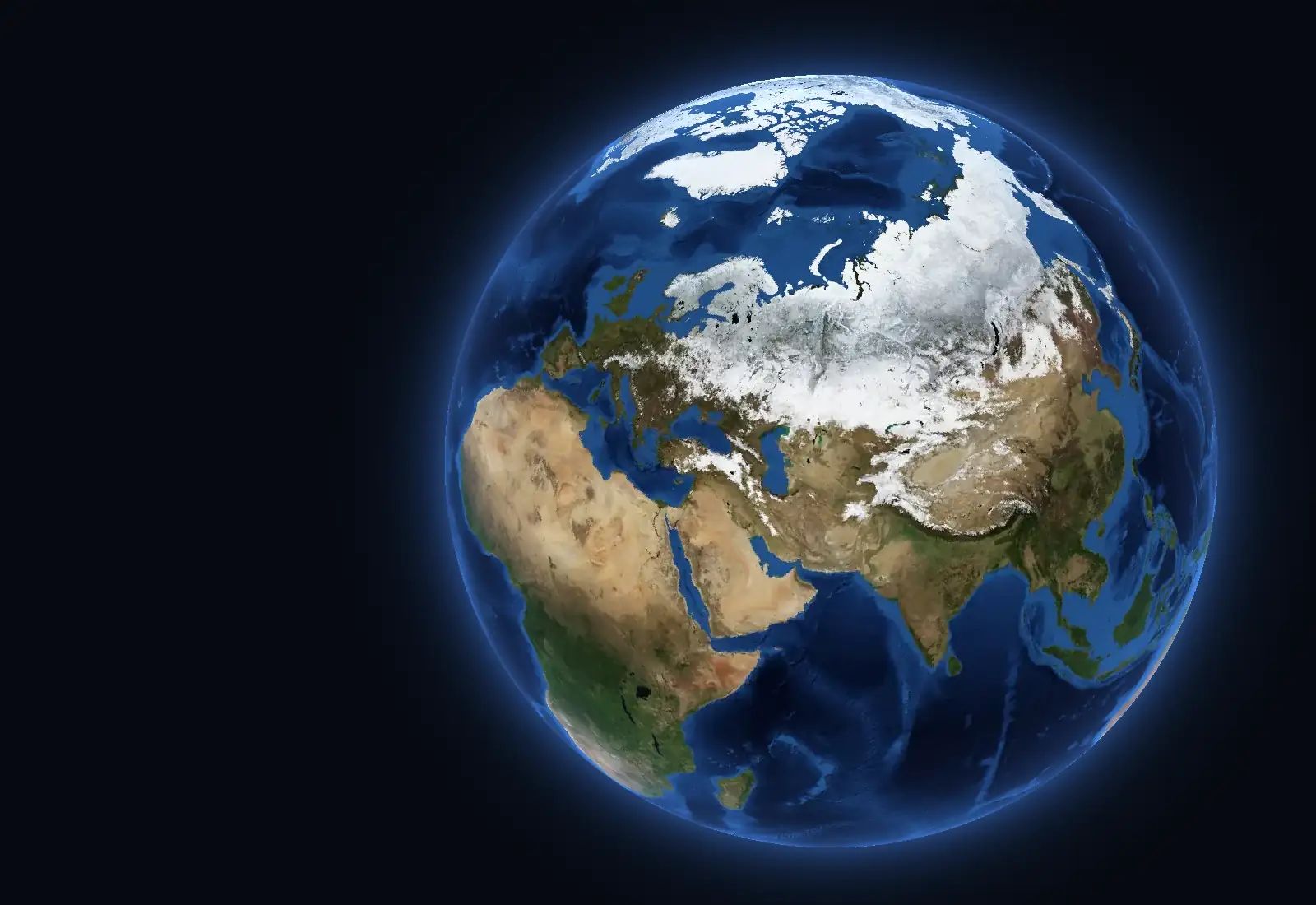
The planet beside the text is photographed from a satellite month by month: twelve cloud-free mosaics, one for each month of the year. The whole globe is shown in daylight, so the surface can be compared from one place to another and from one month to the next.
Three regions and a whole year
Three regions are outlined on the globe: the Sahara, the equatorial forest of the Congo Basin and Siberia. The photograph is the one for January.
Which of them changes its appearance most from one month to the next, seen from space?
Siberia goes from white to green, while the desert and the equatorial forest stay the same
Start the year and watch the three regions. The coloured strips show the mean colour of each region in the photograph of each month, from January to December.
Over a year, the mean colour of Siberia changes about 25 times more than that of the Sahara. In winter, Siberia is covered with snow; in summer, the forest emerges from under the snow. The Sahara stays yellow and the forest of the Congo Basin dark green in every month.
The Sahara gets very little rain: Cairo receives an average of 28 mm a year. In the equatorial forest it rains a lot in every month: at Manaus, in the Amazon forest, 2,323 mm fall. Both places are warm all year, so the photograph stays almost the same.
The edge of the snow moves south in winter and retreats in summer
In the photograph for February, about 43% of the land north of the 30° parallel is white, that is, covered by snow or ice. In August, about 5% stays white, mostly Greenland and the Arctic islands. The percentages are estimated from the colour of the photograph.
In winter, the southern edge of the snow crosses the United States, Eastern Europe and Central Asia. In spring it retreats towards the Arctic Ocean, and in autumn it comes south again. The places where snow lies for the most months have the shortest summer.
South of the Sahara, the green moves north with the rains
Look at Africa between the Equator and the Tropic of Cancer. In February, the strip south of the Sahara, called the Sahel, is yellow and dry. In August it is green.
The rains move through the year with the Sun: in the northern summer they fall north of the Equator, and in the southern summer, south of it. At Bamako, in Mali, 991 mm fall a year, 85% of them from June to September.
South of the Equator, the savanna of Zambia turns green half a year later. The coloured strips of the two regions run opposite to each other.
A climate map over the photograph
The colours are the Köppen–Geiger map, a classification of climate made from the monthly temperatures and precipitation of 1991–2020. Each cell of the map is 0.1° of latitude and longitude, about 11 km from north to south.
The 30 classes of the map are gathered here into the natural environments taught at school. Köppen classes are climate types, while the environments are broader groups. On the map, boundaries are lines; on the ground, one environment passes gradually into the next.
Compare the map with the photograph: the colours lie in the same strips, parallel to the Equator.
Rain sets the warm environments apart
Between the tropics it is warm all year. The four warm environments together cover about 45% of the land.
- equatorial forest (Af; 5.0% of the land)
- savanna (Aw, BSh; 17.9% of the land)
- monsoon (Am, Cwa, Cwb, Cwc; 7.2% of the land)
- tropical desert (BWh; 14.4% of the land)
From the Equator towards the tropics come equatorial forest, savanna and tropical desert in turn: this is latitudinal zonation. The grouping has a limit: class Aw covers both the savanna of Africa and a large part of India, where the summer rains are brought by the monsoon.
The temperate environments change both northward and towards the interior of the continent
Follow Europe from west to east: the oceanic environment of the Atlantic coast gives way to the continental one, then to the steppe and the deserts of Central Asia. Towards the north, coniferous forest reaches almost to the Arctic Ocean.
- Mediterranean (Csa, Csb, Csc; 1.9% of the land)
- temperate oceanic (Cfb, Cfc; 2.3% of the land)
- temperate transitional, with hot summers (Cfa; 4.3% of the land)
- temperate continental: forests and wooded steppe (Dsa, Dsb, Dwa, Dwb, Dfa, Dfb; 11.0% of the land)
- temperate continental: steppe (BSk; 4.9% of the land)
- temperate continental: desert (BWk; 3.5% of the land)
- coniferous forest (taiga) (Dsc, Dsd, Dwc, Dwd, Dfc, Dfd; 13.1% of the land)
The Mediterranean environment occupies only narrow strips, on the western coasts of continents. Class Cfa has no name in the school list: in Europe it forms the transition between temperate environments, and in eastern Asia and North America it is a humid climate with hot summers.
Cold comes from latitude or from altitude
Around the Arctic Ocean lies the tundra, while Greenland and Antarctica are covered by ice caps.
- tundra; on high mountains, alpine belt (ET; 5.0% of the land)
- polar, with permanent ice (EF; 9.4% of the land)
The colour of the tundra also appears far from the poles: on the Tibetan Plateau, at the latitude of Cairo, and along the Andes. There the cold comes from altitude. The mountain environment has no class of its own on the map: high mountains show as patches with classes colder than the surrounding plains.
Eight places, eight environments: you place them
Each place has a climate graph: the columns show the precipitation of each month, and the line the mean temperature. The strip below it shows the colour of the place in the photograph of each month. Choose the environment the place lies in.
| Place | Environment | Coldest month | Warmest month | Precipitation |
|---|---|---|---|---|
| Manaus | equatorial forest | 27 °C | 28 °C | 2,323 mm a year |
| Bamako | savanna | 25.1 °C | 32.4 °C | 991 mm a year |
| Mumbai | monsoon | 23.7 °C | 29.9 °C | June–September: 2,196 mm |
| Cairo | tropical desert | 14 °C | 28 °C | 28 mm a year |
| Athens | Mediterranean | 8.9 °C | 27.2 °C | 414 mm a year |
| Bucharest | temperate continental | −1 °C | 22.6 °C | 594 mm a year |
| Yakutsk | coniferous forest (taiga) | −40.9 °C | 18.3 °C | 240 mm a year |
| Tiksi | tundra | −32.4 °C | 7.1 °C | 323 mm a year |
Romania: a temperate continental environment, with colder classes on the Carpathians
Of the 2,733 cells of the map that fall in Romania, 80% have temperate continental classes (Dfb and Dfa). In the Western Plain, southern Oltenia and on the coast, 16% of the cells have class Cfa, with milder winters: the word “transitional” in the description of Romania's climate fits these regions.
Along the Carpathians, 3% of the cells have the classes of coniferous forest, the same as in northern Europe: altitude has the effect of latitude. In Dobrogea, a few cells (1%) have the steppe class.
Now you explain
Cairo and Lhasa lie at almost the same latitude, around 30° north. The map gives Cairo the class of hot desert (BWh). It gives Lhasa, on the Tibetan Plateau, a class with cold, dry winters (Dwb), from the same large group, D, as Bucharest (Dfa). Where does the difference come from?
You have seen that environments lie in strips by latitude and that high mountains break these strips. Use temperature, water and altitude in your explanation.
Compare with an answer
At Cairo it is warm all year, and precipitation is only 28 mm a year: the lack of water makes the desert. Lhasa lies at the same latitude, but on a very high plateau, and air cools with altitude: winters are cold, as in the classes of group D, which also includes the class of Bucharest. Latitude arranges environments in strips, and altitude breaks them: a high plateau has the climate of a place much farther north.
Lesson 8.2, the environments of the warm zone
Lesson 8.3, the environments of the temperate zones
Lesson 8.4, cold environments and the mountain environment