COLD WAR · THE 1979 MAP
Seven Days to the River Rhine
In November 2005 Poland showed the world a 1979 military scenario: if NATO struck first, the Warsaw Pact would answer with nuclear bombs and aimed to reach the Franco-German border within a week. Below you can check, city by city, what is drawn on the map and what is only interpretation.
§THE FACTSWhat is “Seven Days to the River Rhine”?
An exercise map drawn in 1979, kept in the Central Military Archive at Rembertów until November 2005, when the Polish defence minister, Radosław Sikorski, showed it to the press in Warsaw. Its scenario, in the ISN account: NATO attacks first, with overwhelming conventional forces, and the Warsaw Pact answers with a counteroffensive to the west.
The Guardian wrote that the exercise was “entitled” Seven Days to the River Rhine, with Pact forces aiming to reach the Franco-German border within a week of a NATO attack. The wording matters: the title is the press-conference attribution, it is not verified as printed on the map, and no Polish form of the name appears in any consulted source.
The map depicts nuclear strikes on both sides. In red, the Pact's strikes: cities in West Germany and Brussels, NATO's political headquarters. In blue, the expected NATO reply: tactical bombardments along the Vistula, to stop Pact reinforcements, plus atomic bombs over Warsaw and Prague. The city-by-city detail sits in the next section, each reading with its source beside it.
The word “plan” appears in some press accounts, but the witnesses quoted called it an exercise, and historians — scenarios for war games whose link to real military preparations remains unclear:
“The map shows a classic Warsaw Pact exercise — it was a ‘counter’ attack to defend itself by going all the way to the Atlantic.”
“This was an exercise based on the assumption of a Nato attack. The doctrine of the day was that the Warsaw Pact countries were peace loving.”
§THE EXPLORERWhich cities are marked on the map?
No merged list exists in the sources: each newspaper read the map its own way, and the readings do not fully overlap. Below they stay apart — the Guardian's seven cities, the Telegraph's four (Antwerp also appears in Spiegel), the line described by the Financial Times — and the NATO reply likewise, in the ISN and Spiegel variants. The Guardian also describes strikes in the Netherlands and Denmark, with no cities named, and the PAP report additionally names Bremen and Szczecin — the schematic shows only the cities named in the Guardian, Telegraph, FT, ISN, and Spiegel readings.
The targets, dot by dot
- Pact strike (red on the map)
- NATO-expected strike (blue on the map)
- Strike line, not a city
- Not marked; the press noted the absence
Every dot links to its table row, where the reporting source is named.
Schematic redrawn from the target readings, kept apart by source. Not the document: no verified scan of the 1979 map is available for reuse.
Paris and London appear on the schematic in grey because the Guardian explicitly noted their absence from the map — France “possibly” because it sat outside NATO's integrated structure; Britain's absence “suggesting”, in the paper's reading, that Moscow wanted to stop at the Rhine. The speculation belongs to the newspaper; the motives are not map content.
| City | Sources | What it reports |
|---|---|---|
| Antwerp Pact | Telegraph, Spiegel | Telegraph, 26 November 2005, and Spiegel, 5 December 2005: Antwerp appears in both readings. Two press readings; the Guardian does not list it among the seven. |
| Baden-Baden Pact | Telegraph | Telegraph, 26 November 2005: in addition to the seven cities. A press reading of the map; the two British papers do not read the map alike. |
| Bonn Pact | Guardian | Guardian, 26 November 2005: “then the German capital”, under a red cloud. A press reading of the map; the map itself is unavailable for dot-by-dot verification. |
| Brussels Pact | Guardian | Guardian, 26 November 2005: “the political headquarters of Nato”, also targeted. A press reading of the map; the map itself is unavailable for dot-by-dot verification. |
| Charleroi Pact | Telegraph | Telegraph, 26 November 2005: in addition to the seven cities. A press reading of the map; the two British papers do not read the map alike. |
| Cologne Pact | Guardian | Guardian, 26 November 2005: among the German cities under red clouds. A press reading of the map; the map itself is unavailable for dot-by-dot verification. |
| Frankfurt Pact | Guardian | Guardian, 26 November 2005: “the financial centre”, under a red cloud. A press reading of the map; the map itself is unavailable for dot-by-dot verification. |
| Gdańsk tradition | Nezavisimaya Gazeta, via Warsaw Voice | Only in the Nezavisimaya Gazeta variant, via Warsaw Voice: the northern end of the B-52 bomber run over Vistula cities, down to Katowice — no separate dot on the schematic. A single-thread tradition; the same source questions the map. |
| Haarlem Pact | Telegraph | Telegraph, 26 November 2005: in addition to the seven cities. A press reading of the map; the two British papers do not read the map alike. |
| Hamburg Pact | Guardian | Guardian, 26 November 2005: “the strategically important northern port”, under a red cloud. A press reading of the map; the map itself is unavailable for dot-by-dot verification. |
| London unmarked | Guardian (absence noted) | Guardian: unmarked — “suggesting Moscow wanted to stop at the Rhine”. Press speculation, not map content. |
| Munich Pact | Guardian | Guardian, 26 November 2005: among the German cities under red clouds. A press reading of the map; the map itself is unavailable for dot-by-dot verification. |
| Paris unmarked | Guardian (absence noted) | Guardian: unmarked — “possibly because it is not a member of Nato's integrated structure”. Press speculation, not map content. |
| Poznań NATO | Spiegel | Spiegel, 5 December 2005: among the NATO salvo's targets in Poland. A press variant; ISN gives the Vistula line, not these cities. |
| Prague NATO | ISN | ISN, 28 November 2005: among the Eastern European cities hit by the expected NATO reply. A press reading of the map; the map itself is unavailable for dot-by-dot verification. |
| Strasbourg line | FT | Financial Times, 25 November 2005: the endpoint of the strike line “from the Dutch coast to Strasbourg”. A line described in words, not a marked city; no city-by-city detail. |
| Stuttgart Pact | Guardian | Guardian, 26 November 2005: among the German cities under red clouds. A press reading of the map; the map itself is unavailable for dot-by-dot verification. |
| Warsaw NATO | ISN, Spiegel | ISN, 28 November 2005: under “atomic bombs”, among the Eastern European cities; Spiegel, 5 December: among the NATO salvo's targets in Poland. Two press readings; their lists do not match each other. |
| Wrocław NATO | Spiegel | Spiegel, 5 December 2005: among the NATO salvo's targets in Poland. A press variant; ISN gives the Vistula line, not these cities. |
Each row names the source that reported the city. City names follow the 2005 press accounts; the schematic coordinates are current gazetteer values, used only to place the dots on the drawing.
§NOVEMBER 2005Who declassified the map, and why?
On 25 November 2005, Radosław Sikorski, defence minister in a government led by prime minister Kazimierz Marcinkiewicz, presented the map at a press conference in Warsaw and handed the Institute of National Remembrance (IPN) more than 700 files kept secret until then (RFE/RL). The announcement spoke of 1,700 files released (Financial Times, Guardian), Spiegel of 1,700 volumes to be handed over soon, and PAP of about 1,700 record groups held by the archive — the figures do not describe the same batch. Moscow was not told in advance.
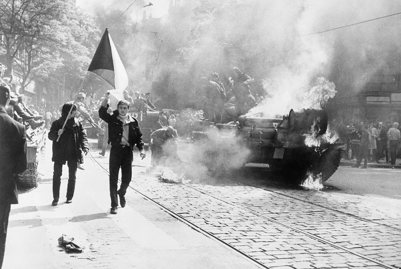
- 25 November 2005The press conference: the 1979 map is shown to the press and the files go to the IPN. Among the papers were Operation Danube (the 1968 invasion of Czechoslovakia) and the massacre of Polish strikers at Szczecin in 1970.
- The stated motiveTo settle accounts with post-communism: Poland had been an “unwilling ally” of the Soviet Union in the Cold War. “It's important for a democracy to know who was the hero and who was the villain. A morality tale has to be told,” Sikorski told the Financial Times. Still, the Moscow-made plans were shared with trusted Polish officers (Mastny), and the 1970 “Coastal Front” plan, signed by Jaruzelski, gave Polish forces attack objectives westward.
- The physical transfer, April 2006On 12 April 2006 the defence ministry handed the IPN the materials held at Rembertów: 793 Warsaw Pact archival units plus 325 on martial law, with about 650 more expected by 26 April (IPN communiqué).
- “Two million Poles”Two separately attributed figures: PAP gives the scenario's projection — two million civilian dead and injured and 43 Polish cities hit; the IHT gives the government's 2005 estimate — NATO attacks on the Vistula forces “would have killed two million Poles”. The third framing, “Poland's 43 largest cities”, belongs to other accounts — the three stay apart.
- What was declassified whenSikorski showed already-declassified documents and announced the disclosure of nearly all files; a special team was to propose lifting classification file by file by 2 January 2006, with the minister keeping the decision (PAP).
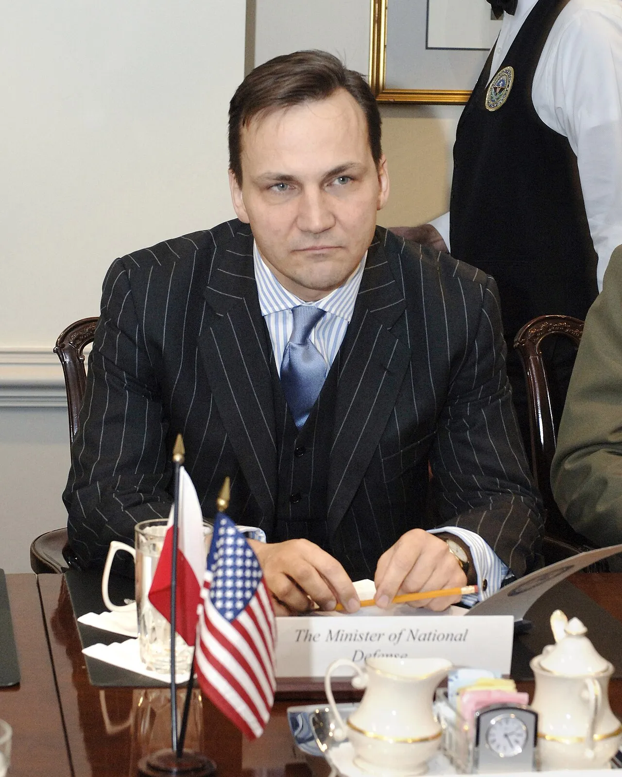
Reactions split three ways. In Warsaw, the opposition objected: Jerzy Szmajdziński (SLD, Sikorski's predecessor) called the gesture “media humbug” and spoke of political risk toward Russia. The 1991 understanding barred former members from publishing the files, and the ministry — through MON lawyers, per PAP — answered that Poland never ratified it and that domestic law prevails. Bronisław Komorowski, of the opposition Civic Platform, admitted it felt “a little awkward” to display American attacks on Polish cities today.
In Moscow, Konstantin Kosachov, chair of the Duma foreign-affairs committee, called the gesture an “outright anti-Russian provocation”. Izvestia played the gesture down as routine war-gaming, and Nezavisimaya Gazeta questioned the document's logic — the only voice touching the map's authenticity itself.
The German and British press reported at length, but the consulted coverage holds no German or British government response. The silence, against the noise from Warsaw and Moscow, is part of the story: the map concerns German cities, and the German government said nothing traceable in the press — Spiegel, on 5 December, records no German government response either.
§THE DEBATEWar game or real invasion plan?
The historians who saw the files say the same thing: these are war-game plans, and “unclear to what extent” they mirror real military preparations. The premise — NATO strikes first — may, says historian Christian Nünlist, reflect political constraints on war-gaming rather than a judgement about NATO's intentions.
The Telegraph's analysis on the day of the unveiling runs the same line: the documents are presented as a war game, not an executive military plan, and the Schlieffen resemblance is only an analogy — today's games can prefigure tomorrow's plans without being operation orders themselves.
Archive scholarship widens the frame. Historian Vojtech Mastny shows that after 1964, Pact intentions are known almost only from exercise records, while the West's hypothetical attacks had become “an empty ritual”: the exercises rehearsed little but the great Soviet-led thrust westward that was “immediately” to follow. The military plans against the West were made in Moscow, but shared with trusted officers in the Pact countries, above all on the “central front”.
The authenticity debate is asymmetric, and its two halves deserve separation. Only the Russian press questions the document itself: Nezavisimaya Gazeta finds it implausible that three American B-52 bombers, taking off from Britain, would strike Vistula cities from Gdańsk to Katowice while flying over East German and Polish air defences. The Western historians quoted do not doubt the paper is genuine; they ask what operational weight the game carried. The two doubts are not the same doubt.
The variant with an American B-52 opening travels on a single thread, through the Russian press, and the same source disputes the map — so on this page it appears only as a flagged variant, never as fact. Likewise Commander Wójcik's anecdote — that at the Pentagon in 2001 he was shown “mirror image” maps — stays his words; a verified equivalence between the two sides' plans would need documents from both.
§TRAPSWhich maps are NOT “Seven Days to the Rhine”?
Press and aggregators often merge the 1979 map with other declassified documents. Each has its own year, archive, and targets — their targets do not belong to the 1979 map and do not appear on the schematic above.
The 1961 Polish plan for Denmark
The first atomic strikes targeted Esbjerg and Roskilde, per the Danish Cold War inquiry. A separate document, eighteen years older.
The 1964 Czechoslovak plan
Found in Prague by Petr Lunak: 131 tactical nuclear bombs, then a ground invasion toward Nuremberg, Stuttgart, and Munich, with Lyon on day nine and the Pyrenees as the final objective. Lunak calls the thinking behind it a “fairy tale”. Not the 1979 map.
The 1965 Soviet-Hungarian document
Vienna destroyed by two 500-kiloton bombs, Munich, Verona, and Vicenza on the list. The 7.5-megaton total belongs to this scenario, not to the 1979 map.
The 1967 directive for Denmark
57 strikes, 3,200 kilotons, including Copenhagen and Odense. Another document, another archive.
The 1970 “Coastal Front” plan
Signed by Wojciech Jaruzelski, an attack-operation plan — Bremen, Bremerhaven, Wilhelmshaven, Cuxhaven, Emden, Amsterdam, and Antwerp. The phrase about the Rhine reached “on the sixth or seventh day”, sometimes quoted here by mistake, concerns — in Die Welt — the Soviet and East German advance farther south, toward the Rhine and the Ruhr, not the “Coastal Front” map.
§HEDGESWhat remains unknown
Four things are missing from the consulted sources, and this page does not guess them:
- The defence-ministry release. Paweł Wroński's PAP report (25–26 November 2005) records the conference and Sikorski statements in Polish; a ministry release of its own was not found.
- The exercise series. No source says which named Pact series the 1979 scenario belonged to, if any.
- The map image as a primary source. No scan with verifiable provenance and rights was found — which is why this page uses a redrawn schematic, not the document.
- The exact NATO-attack variant. ISN speaks of a conventional attack, the Russian press of an American nuclear opening. The sources conflict; the document itself would decide.
Likewise, the missing Berlin and London government responses are “not found in the coverage surveyed”, not proven: an absence from a survey, not an archive finding.
§NEIGHBOURSFurther
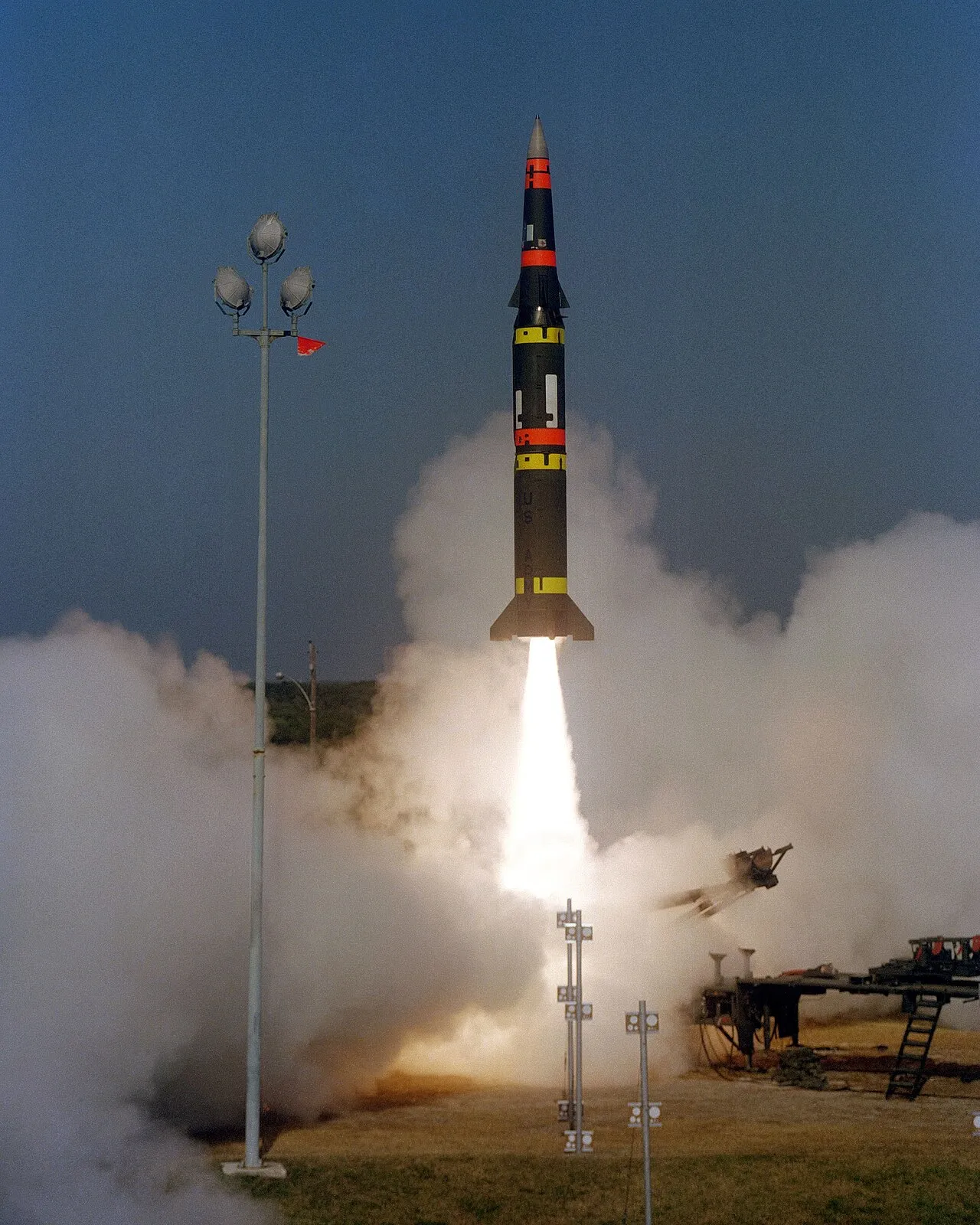
- 1983: when the system cried wolfStanislav Petrov and the Soviet nuclear false alarm — two months before the first Pershing IIs were deployed in Europe, in December 1983.
- The American missile-name decoderWhat the designations say and what they never say — doctrine or performance from a name.
- Civilian nuclear power, argued separatelyA page about the peaceful atom; here the military history stays apart from it.
§METHODMethod
The targets come from the 2005 press readings, kept apart by source: the Guardian (seven cities), the Telegraph (four more, Antwerp also in Spiegel), the Financial Times (a line, no cities), ISN (the Vistula line, Warsaw, Prague), and Spiegel (Poznań, Wrocław, Warsaw, and other Polish cities). The schematic is redrawn from scratch after these readings — the coordinates are current gazetteer values, used only to place the dots on the drawing — and makes no claim to reproduce the document. Bremen and Szczecin, named only by PAP, are not dots on the schematic.
Quotations are verified word for word against the cited sources; translations from English and German are by Marius Comper. The numbers recompute from their source: the files as per-source figures, not a range — the figures do not describe the same batch —, the cities as per-source lists, never merged.
§LIMITSLimits
The on-map title is unverified. “Seven Days to the River Rhine” is the press-conference attribution; no source shows it printed on the document, and no Polish form of the name appears in the consulted sources.
No phasing, no order of battle. No source gives the day-by-day account or the exercise's own forces. The period figures about the Polish army describe standing Pact roles, not this map.
Yields unknown. No consulted source gives exact figures for the strikes on the 1979 map; the only characterization is “multi-megaton” (Telegraph, analysis). The circulating figures (7.5 megatons, 500 kilotons) belong to other documents, listed under traps.
Absences marked, not proven. The missing German and British government responses are “not found in the coverage surveyed”, and a ministry release of its own is missing; the Polish source for the conference is the PAP report.
§SOURCESSources
- The unveiling: Guardian, 26 November 2005 (the seven cities, the Sikorski and Wójcik quotes), Telegraph, 26 November 2005 (four more cities) + analysis (war game, not executive plan).
- The Sikorski interview: Financial Times, 25 November 2005 (the strike line, the motive, “unwilling ally”); context: RFE/RL, 25 November 2005 (700+ files).
- The historians' verdict: ISN, 28 November 2005 (Nünlist: war game, unclear weight; the NATO reply on the Vistula).
- German and Polish press: Spiegel, 5 December 2005 (the NATO salvo, the Rembertów archive), Warsaw Voice, 7 December 2005 (Polish and Russian reactions, 43 cities, the B-52 variant), IHT, 25 November 2005 (the “two million” estimate), PAP, 25–26 November 2005 (the Polish-language report: 2 million dead and injured, 1,700 record groups, the IPN transfer).
- Pact-exercise context: Mastny 2002 (the ritual premise, intentions known from exercises), Mastny 2003 (Moscow-made plans).
- Other documents (traps, not the 1979 map): Jyllands-Posten 2003 (Denmark 1961/1967), Telegraph 2001 (the 1965 Hungarian document), Telegraph 2007 (the 1964 Czechoslovak plan), Die Welt 2006 (the 1970 “Coastal Front” plan).
- Polish institutions: IPN communiqué, 12 April 2006 (793 units handed over from Rembertów), IPN Warsaw 2022 (PRL maps, the Soviet scenario).
§FAQFrequently asked questions
Was “Seven Days to the River Rhine” a real war plan?
Not as an executive plan: Sikorski himself called it “a classic Warsaw Pact exercise”, and historians speak of scenarios for war games. To what extent they reflect real military preparations “is unclear” (ISN); the word “plan” appears only as press shorthand.
Which cities does the map mark?
In the Guardian account: Bonn, Frankfurt, Cologne, Stuttgart, Munich, Hamburg, and Brussels. The Telegraph adds Baden-Baden, Haarlem, Antwerp, and Charleroi, and of the four, Antwerp also appears in Spiegel. The Financial Times describes only a strike line, from the Dutch coast to Strasbourg. The three readings stay unmerged.
Why are France and Britain not marked?
The Guardian notes their absence cautiously: France “possibly” because it sat outside NATO's integrated structure; Britain's absence “suggesting”, in the paper's reading, that Moscow wanted to stop at the Rhine. The speculation belongs to the newspaper; the motives are not map content.
How many files were released in 2005?
They are not variants of one batch: more than 700 files handed to the IPN (RFE/RL), 1,700 files released (Financial Times, Guardian), 1,700 volumes to be handed over soon (Spiegel), about 1,700 record groups held by the archive (PAP).
What does “two million Poles” mean?
Two separately attributed figures: the scenario's projection, two million civilian dead and injured (PAP), and the government's 2005 estimate, two million dead (IHT). Other accounts speak of Poland's 43 largest cities.
Where is the original map?
The map comes from the Central Military Archive at Rembertów, near Warsaw; on 25 November 2005 the files were handed to the IPN archives (PAP). No scan with verifiable rights is publicly available, so this page uses a schematic redrawn from the per-source readings.