The strait is about 60 km long, with a mean width of 20 km.
Atlantic · Mediterranean · strait
The Strait of Gibraltar: a gateway between the Atlantic and Mediterranean
At Punta de Tarifa, the passage tightens. Below the surface, Atlantic and Mediterranean water move in opposite directions; each figure and document records a different part of the threshold.
At Tarifa, the gateway narrows
At Tarifa Narrows, the published width is about 14 km. Below the surface, the baroclinic exchange has two layers moving in opposite directions.
Tarifa · published measures
At Punta de Tarifa, the passage tightens
At Tarifa Narrows, the published width is about 14 km; the published minimum depth is 290 m at Camarinal Sill.
The Algeciras Port Authority plan gives an approximate 14–44 km range. Its broad endpoint and measurement line remain to be confirmed, so 44 km stays out of a graphic.
Punta de Tarifa is a point at the narrows; the 14 km measure is separate.
Espartel Sill · local profiles
Atlantic water enters above; Mediterranean water leaves below
Over the long term, the baroclinic exchange has two layers: cold, salty Mediterranean water exits west below, while Atlantic inflow above is slightly greater. The paper estimates about 0.8 Sv for the lower outflow; 1 Sv equals 10⁶ m³/s.
At Espartel Sill, the observed mean profile shows about 0.25 m/s eastward flow in the upper layer. The lower westward profile reaches a maximum mean speed of about 1.3 m/s near 280 m depth.
These values belong to the Espartel profile’s location and depth. Tides and sub-inertial variability strongly change the flow; tides can mask the mean. The arrows show mean directions, not uniform speeds across the strait.
Opposing directions describe the mean exchange; speed remains local and variable.
Myth · two southern identifications
The Pillars of Hercules name a legendary threshold
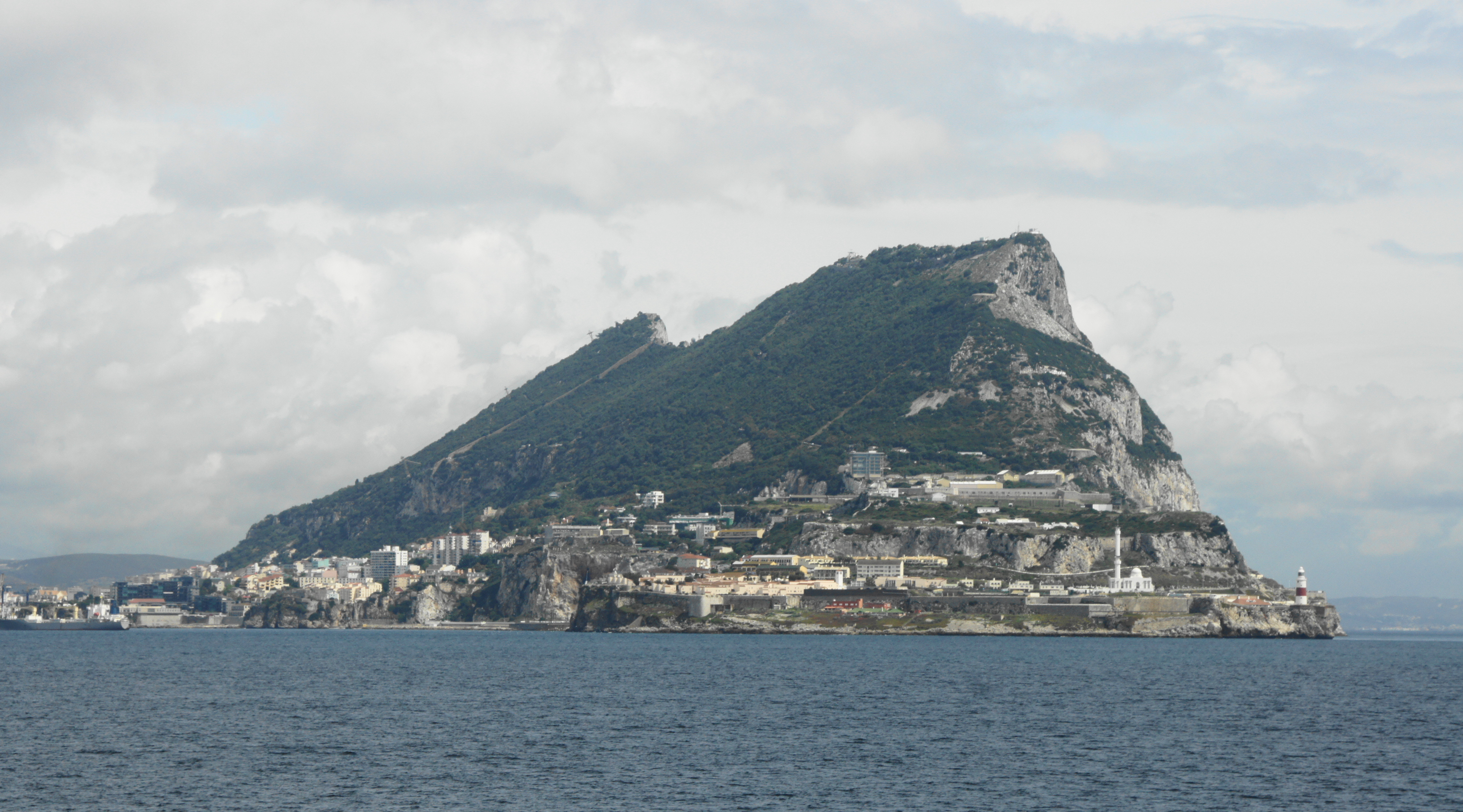
The Gibraltar Museum presents Calpe and Abila as the legendary Pillars of Hercules.
Calpe is conventionally associated with the Rock of Gibraltar. Zurbarán’s painting belongs to the Pillars tradition; it is not a map.
Traditions identify the southern pillar with both Monte Hacho and Jebel Musa. The identification remains open; this story chooses neither.
The myth offers two southern candidates; neither becomes a settled coordinate here.
1704 · 1713 · the 1714 edition
Capture, signature and translation have different dates
On 4 August 1704, Anglo-Dutch forces captured Gibraltar during the War of the Spanish Succession.
The Treaty of Utrecht was signed on 2/13 July 1713. Its signing is distinct from the capture in 1704.
The Article X excerpt below is the English translation in the 1714 edition. Spanish and Latin are the treaty’s principal authentic languages.
Article X · excerpt from the 1714 English translation; not the authentic treaty textThe Catholick King does hereby, for himself, his Heirs, and Successors, yield to the Crown of Great Britain the full and intire Propriety of the Town and Castle of Gibraltar, together with the Port, Fortifications, and Forts thereunto belonging; and he gives up the said Propriety to be held and enjoyed absolutely with all manner of Right for ever, without any Exception or Impediment whatsoever. […]
A 1704 siege plan, a 1713 treaty and an English translation printed in 1714.
Sovereignty · three dated records
Three documents keep three positions apart
Spain's UN submission
In its 2018 UN filing, Spain argues that the cession covered only the places named in Article X and rejects broader UK claims over land, air and waters. This is Spain’s stated position, not a neutral ruling.
The UK Government's parliamentary answer
On 18 September 2024, the UK Government said it was confident of British sovereignty over all Gibraltar, including British Gibraltar Territorial Waters, and would not transfer sovereignty against Gibraltarians’ wishes.
The agreement and Article 2
The UK–EU agreement was signed on 14 July 2026 and entered provisional application on 15 July. Article 2 preserves both parties’ positions and says the agreement is not a basis for asserting or denying sovereignty; it did not settle the dispute.
Putting documents beside each other does not turn a position into a settlement.
The Rock · heritage and war
The tunnels enter the heritage record for defence and Operation Torch
The heritage record describes the tunnel complex as defensive infrastructure and documents its later support for Operation Torch.
The Admiralty Tunnel page dates Eisenhower’s arrival to 5 November 1942.
Operation Torch began on 8 November 1942. A 1941 photograph shows tunnel work; its caption keeps the photographer, date and rights attached.
A 1941 photograph and two 1942 dates: Eisenhower’s arrival, then the operation’s start.
Navigation · each measure has its own scope
A traffic scheme, port activity, TEU and ferries
In 2025, Tarifa’s centre controlled 80,238 vessels passing through the Strait Traffic Separation Scheme. This is a scheme-control count, not every transit through the strait.
The Gibraltar Port Authority reported 9,454 vessels in 2024 across the western side, eastern side and off port limits. This is a record of port activity.
In 2024, Tanger Med reported 10,241,392 TEU and Algeciras 4,711,117 TEU. These are port container-throughput measures, not Strait transits.
The 2024 seasonal ferry operation recorded 3,442,770 passengers, 847,429 vehicles and 12,012 ship rotations. This is regular traffic; Spain’s irregular-arrival totals are national, and the cited sources give no Strait-only total.
The TSS scheme, port activity, TEU and ferries measure different things.
Sources
The source ledger keeps the date, measure and limits of each record visible.
- M01 · Ocean Science (2018), Strait of Gibraltar geomorphology
- M02 · Algeciras Port Authority planning document
- M03 · Ocean Science (2018), two-layer exchange and variability
- M04 · Sammartino et al. (2015), Espartel ADCP observations
- M05 · Treaty of Utrecht, Article X: 1714 English edition (translation)
- M07 · Spain's 2018 UN submission
- M08 · UK Government answer HL714, 18 September 2024
- M09 · UK–EU agreement in respect of Gibraltar, 2026
- M10 · Capture of Gibraltar and Pillars of Hercules tradition
- M12 · Gibraltar WWII tunnel complex, Admiralty Tunnel and Operation Torch records
- M13 · Salvamento Marítimo 2025 annual operational release
- M14 · Gibraltar Port Authority 2024 activity table
- M15 · Tanger Med and Algeciras 2024 port throughput records
- M16 · Operation Paso del Estrecho, DSN 2024 balance and Salvamento Marítimo 2025 release
- M17 · COSCO Shipping Lines 2025 Tangier network and Piraeus shareholding context
- M18 · OpenStreetMap present-day map and copyright/attribution