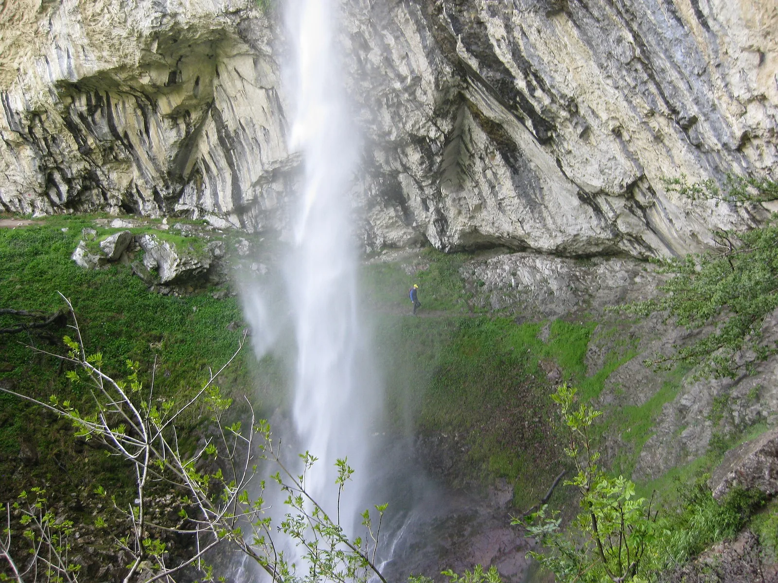
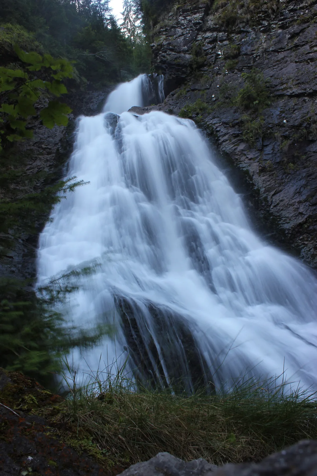
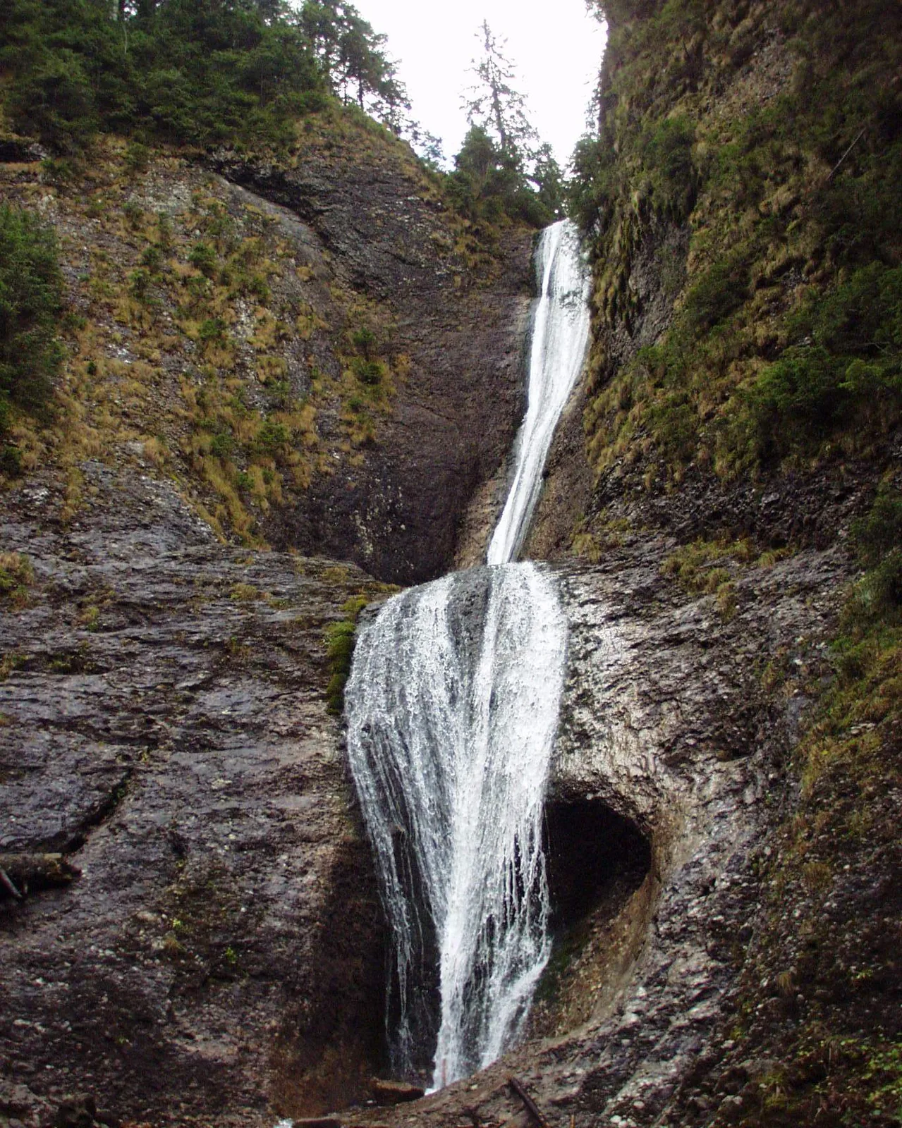
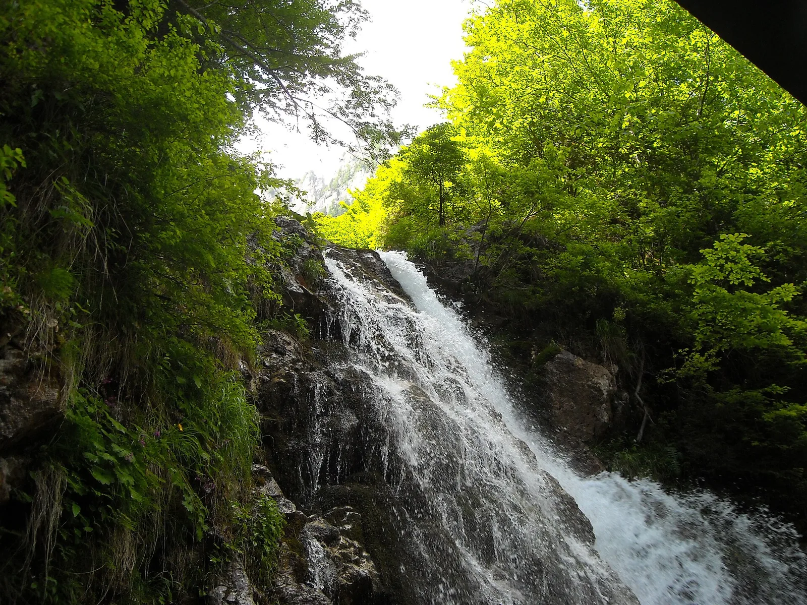
293 m? 120 m? 90 m? It depends what you call a waterfall. Some sources add up a whole system of falls, others measure a single tier, others the length of water on rock. The figures are put on the same scale, with the method, the sources and each measurement's uncertainties.
Research and verification: September 2026 · Updated 15 September 2026
The short answer
There is no single undisputed winner, because total reported drop, a well-defined waterfall and free-fall are different measures. Here are the three answers the verified data supports so far:
Scurtele — ~293 mthe greatest reported height difference, but a system of falls
Cociu — ~120 mthe strongest candidate for a well-defined waterfall
The same scale, drawn vertically: every fall starts at the top line. The person and the 10-storey block are there for scale — at the 620 m scale, the person is a line.
Scroll sideways for all the drops →
Keep this picture: Scurtele dominates by system length, Cociu as a single fall, Vânturătoarea as a free-falling stretch. Three measures, three answers — the outlined bars lead to profiles.
All drops start at the same line and share the same scale. The person is barely visible — that is exactly why they are there. Grey = valley sectors, not comparable waterfalls. * = case under investigation.
Map
Each dot leads to the waterfall's profile. Colour shows the order of magnitude of the reported height. Waterfalls without verified coordinates have no map dot and appear with a profile only.
over 100 m
50–99 m
20–49 m
under 20 m
Positions from verified coordinates (OpenStreetMap, Nominatim). Outline: project data.
Compared at the same scale
Choose what to compare: total reported drop, tallest tier or free-fall. The order and the bars update. Hollow outlines mean an undocumented value, not zero.
Schematic depictions, not topographic sections. Solid bars show falls, hatched bars slides on rock, segmented bars series of tiers.
16 of 18 waterfalls appear in the chart: Bigăr (~7–8 m) and Capra (disputed values) have no single comparable figure and appear with a profile only.
Three rankings, not one
A single Top 10 would mix different things. That is why this page keeps three separate tallies: reported height differences, comparable waterfalls and documented free-falls.
Inventory of reported values
The inventory gathers the values reported in the sources consulted. Long waterfall systems may qualify; grey-background values cover valley sectors, not comparable waterfalls.
A useful contrast: Scoruș's main tier measures ~80 m, but the sources say explicitly that the water does not fall free — which is why it does not enter here.
What counts as a waterfall?
Not every 300 m a stream descends amounts to a 300 m waterfall. To compare two waterfalls you must know where each begins, where it ends, and what you accept as the same body of falling water.
The same schematic rock, the same water, five different geometries.
Free-fall
The water leaves the rock and falls through air. Example: Vânturătoarea, ~40 m.
Horsetail
The water stays partly in contact with the rock throughout the fall.
Slide
The water slides down an inclined plane, hugging the rock.
Multi-tier
Several consecutive tiers of the same waterfall. Examples: Cailor, Hotăran.
Waterfall series
Several waterfalls separated by stream sectors. Example: Scurtele.
Rapid
A very steep course, but without a sufficiently distinct fall. Rapids do not enter the rankings.
So who takes first place?
The data does not justify a single winner. The honest answer is: it depends on the criterion.
Greatest reported height difference Scurtele, ~293 m — a system of falls surveyed by altimeter in 2016.
Tallest well-defined waterfall Cociu, ~120 m — a single fall, awaiting topographic corroboration.
Tallest tier Cociu, ~120 m — if a single fall is confirmed; otherwise Scoruș, ~80 m.
Greatest free-fall Vânturătoarea, ~40 m — the greatest among the cases documented in this selection, if final checks confirm the comparison.
Cailor Waterfall: 90, 100, 150 or 240 m?
Cailor Waterfall is one of the country's best-known waterfalls and gathers the most contradictory figures. The traditional value, ~90 m, appears in Wikipedia, in guides and from operators — but its origin is a repeated tourist figure, not a published measurement. The description in the same sources speaks of a successive 40+20+40 fall, whose sum is 100, not 90 — the first inconsistency.
The ~100 m figure comes from tourist estimates and roundings. The ~150 m one adds to the visible falls upstream tiers, through forest, from an itinerary that no longer exists. The 240 m figure belongs to a single 2019 blog, which sums every fall in the basin. The canyoning topo counts 10 abseils of at most 50 m — an anatomy compatible with 10 small falls, not a 240 m total. This page keeps ~90 m with B status and shows the alternatives alongside, not instead.
Bigăr: famous, not tall
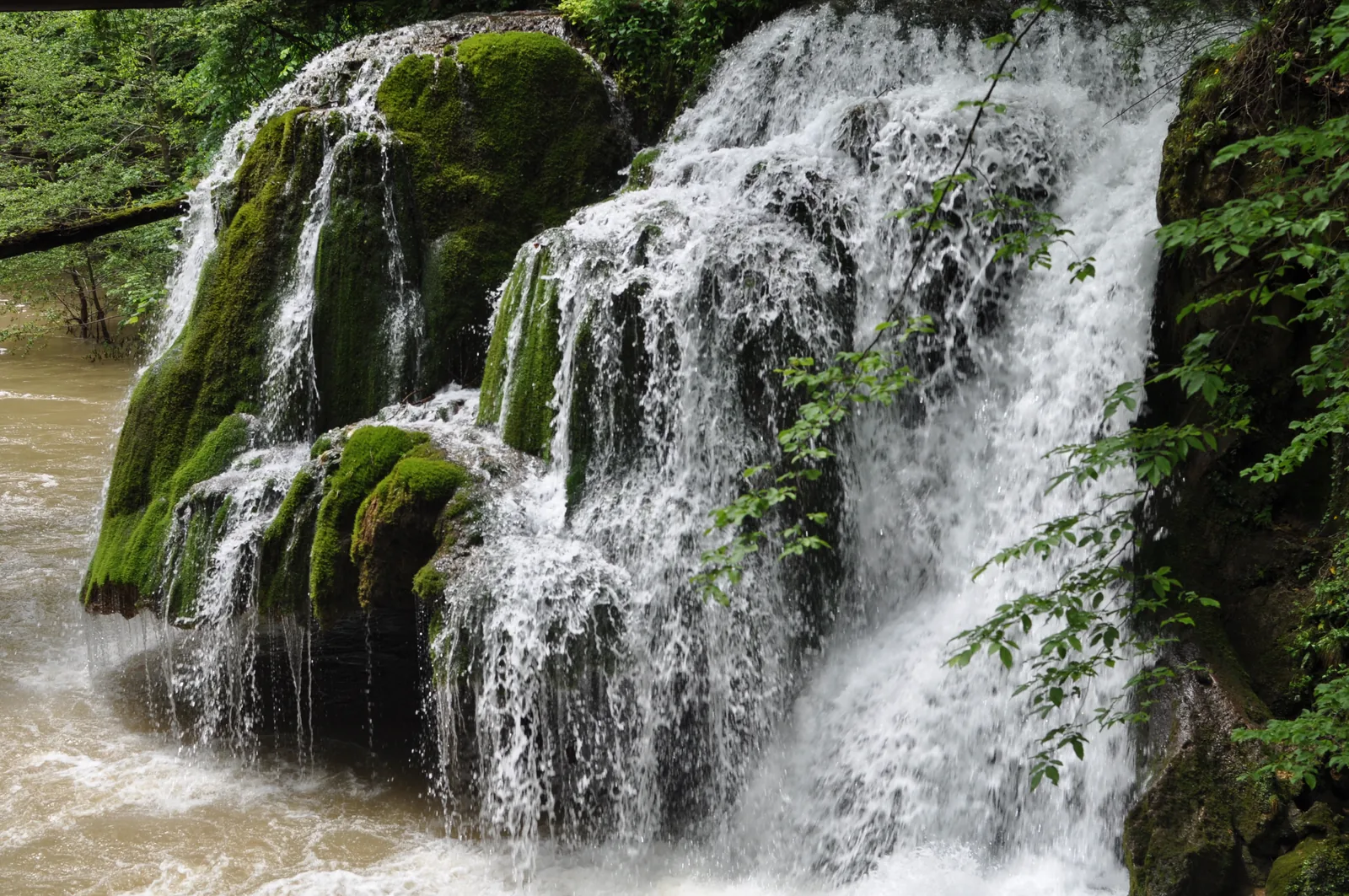
Bigăr Waterfall went viral for its shape: a moss-covered travertine cone over which the spring water trickles like a veil. Its height is on the order of 7–8 m — a record of fame, not of size.
Photographs showing the perfect cone veil date from before 7 June 2021. The current look, after the partial collapse, differs.
On 7 June 2021, Romsilva announced the collapse of a large travertine slab under its own accumulated weight. The fallen block can be seen in the Miniș, below what remains. Any image showing the perfect cone veil predates this; the current look would need a photograph dated after the collapse, with a verified licence. The viral superlative comes from a 2013 listicle and a 2010 press feature — source claims, not verified facts.
Waterfalls included in the reported-height comparison, each with its method and caveats. Confidence: A = published measurement, B = solid guide, C = incomplete method, D = unverified value.
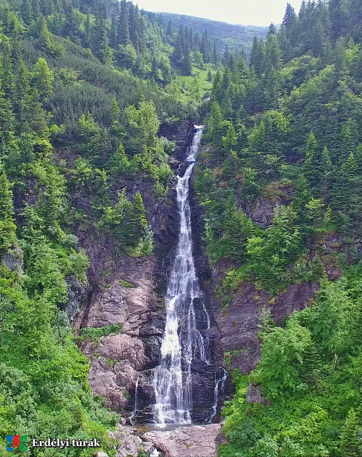
Godeanu Mountains (western edge of Retezat NP) · Hunedoara
Evidence and caveats
Spot-height difference 1,322–1,615 m, Promontana 2016 survey. Earlier reports gave 270 m. ClimbRomania: ~220 m / 7-pitch ice route; LC3 has ~65–70 m of rope length with ~40 m of ice (rope length, not vertical). Open question: single waterfall or a system of falls.
Stream
Scurtele stream (from Scurtele lake, below Scurtele Peak 2,157 m, near Gugu Peak) → Lăpușnicul Mic → Mare → Gura Apelor lake
Tiers
7
Measurement
altimeter (base → highest tier), 2016
Access
No tourist trail: neither markings nor even a path (WTR). Exploration/drone; future marking only with Retezat NP + Salvamont approval.
Profile with no verified photograph — OSM Cociului Waterfall (MH).
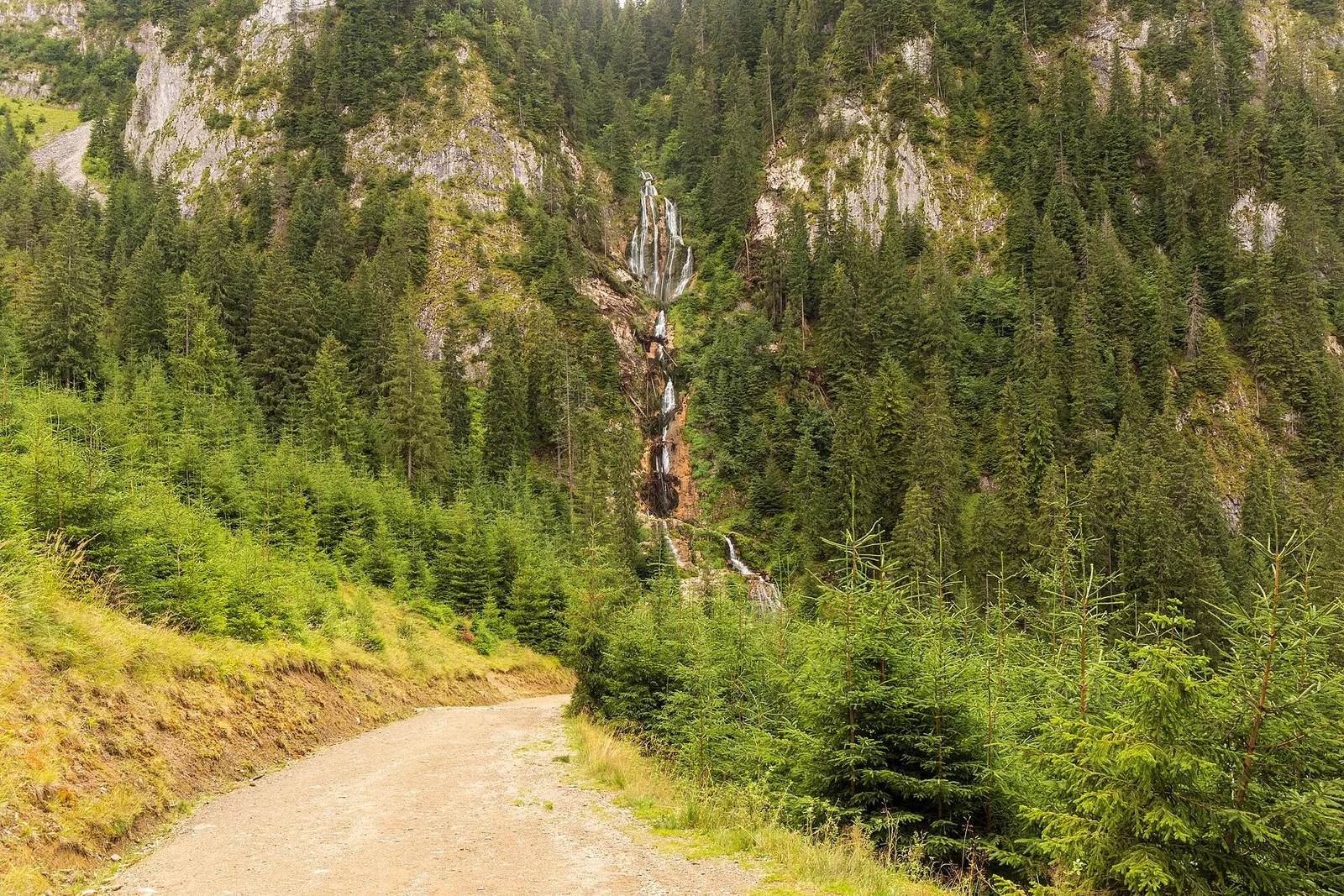
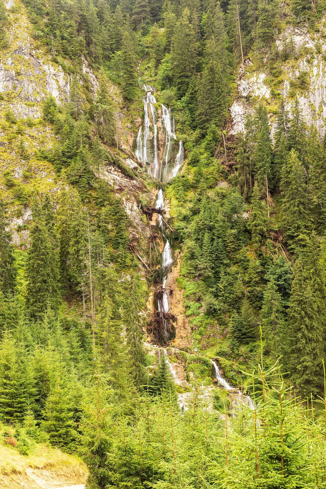
Cociu / Roșeț Waterfall
Confidence: BAccess: hard
Total drop
~120 m
Type
vertical fall on a limestone wall
Massif · county
Mehedinți Mountains · Mehedinți
Evidence and caveats
MN: c. 120 m long, no tiers; a single fall splitting into two streams; spot heights ~780–790 m → ~660–670 m. CONFLICT: the OpenCanyon topo (unverified) says “two 90-meter limestone walls”, max abseil 41 m, 8 abseils, delta 176 m (846→670 m). Free-fall component undetermined.
Stream
Roșeț brook (Cociului Valley), left tributary of the Cerna
Tallest tier
~120 m
Tiers
1
Flow
permanent with variations; maximum in spring; dangerous when wet/icy/snowy
Access
PR trail 14MN12: 1.4 km, +607 m, 1–1.5 h, sustained climb; rock/ice fall at the base; Domogled NP fee (RON 10/7 days, 2026).
Profile with no verified photograph — OSM Scorușu Waterfall (VL).
Scoruș Waterfall
Confidence: BAccess: easy
Total drop
~101.5 m
Type
vertical fall in tiers
Massif · county
Căpățânii Mountains · Vâlcea
Evidence and caveats
Mălaia town hall: those who measured it claim 101.5 m; 2 ledges, one of 80 m. Variants: 100 m (Mirabilis); ~110 m with the upper fall (local sources, not directly verified). OpenCanyon: entry 996 m/exit 848 m/delta 148 m, max abseil 50 m, 6 abseils. Methodologically C.
Stream
Scoruș stream (Bucureasa/Budureasa Valley gorges)
Tallest tier
~80 m
Tiers
2
Flow
permanent; in the rainy season the flow is about four times the usual one (town hall)
Access
Marked trail (two white-red circles) through the canyon, from Căsuța din Pădure, 40 min–1 h+; ticket booth at the entrance (RON 5 — reviews).
Profile with no verified photograph — OSM Ciomfu Waterfall (HD).
Ciumfu Waterfall
Confidence: CAccess: hiking
Total drop
over ~100 m
Type
fall from a high ledge
Massif · county
Retezat Mountains · Hunedoara
Evidence and caveats
The source says over 100 m, with no exact figure. Unconfirmed detail.
Stream
Ciumfu stream (waters of lakes Custura Mare, Custura Mică, Ciumfu Mare) → Bărbat river → Strei → Mureș
Access
Admired from the blue-triangle trail Cabana Baleia–Poiana Pelegii (WTR); the Salvamont-HD trail 16 sheet passes by Ciomfu Waterfall (Stâna de Râu → Șaua Custurii).
VALUE TRACE: 90 m = the repeated tourist figure (Wikipedia/WTR/operators), unmeasured origin; the WTR 40+20+40=100≠90 sequence, an inconsistency in the source. 100 m = tourist estimates/roundings. 150 m = the visible falls + upstream tiers through forest (Itinerarium Grand Tour, now 404; echoed by norișorul 2026). 240 m = a single TravelFeed/Hive blog @gabrielatravels 2019 (unfounded summing of all falls in the basin; the 10-falls-≤50 m anatomy is compatible with the OpenCanyon topo: 10 abseils, max 50 m). Canyoning topo: 10 abseils, max 50 m. No published measurement.
Profile with no verified photograph — OSM Sfânta Treime group point, not the waterfall's location.
Hotăran Waterfall
Confidence: CAccess: hiking
Total drop
~80 m
Type
3 successive tiers
Massif · county
Bihor Mountains (below Cucurbata Mare) · Bihor
Evidence and caveats
80 m in three tiers, the largest of Sfânta Treime (MN 17MN32, source Dinu Mititeanu); neighbours: Fântânele 60 m, Cârligoi 40 m. Its own watercourse unverified.
Waterfalls you can see on an ordinary hiking day — some tall, others famous without being tall.
Profile with no verified photograph — OSM Sfânta Treime group point, not the waterfall's location.
Fântânele Waterfall
Confidence: BAccess: hard
Total drop
~60 m
Type
veil / narrow fall
Massif · county
Bihor Mountains (Padiș Plateau) · Bihor
Evidence and caveats
Figure via Dinu Mititeanu, quoted by Munții Noștri. Partly concordant inventory: românia-natura gives 50 m in one place / 60 m in another — unresolved discrepancy; 60 m kept from the Munții Noștri guide. Sfânta Treime group: Cârligoi 40 m, Hotăran 80 m, Fântânele 60 m.
Stream
Mărgine stream (Poiana Crișului Valley), Izvoarele Crișului Negru area
Access
Certified PA trail 17MN31 Băița village–Sf. Treime–Poiana: 17.0 km, 7–8 h, +1,008 m; steep 150 m/500 m descent on slippery ground to the watercourse, then ~600 m along the watercourse. Short viewpoint variant PAD 17MN32: 0.5 km, 15 min. Not recommended/impracticable in winter.
Location: OSM Sfânta Treime group point, not the waterfall's location.
Vlădeasa Mountains (eastern slope) · Cluj (Răchițele village, Mărgău commune)
Evidence and caveats
A nomenclature inconsistency reported as such: Stânciului Valley (cluj.com) vs Valea Seacă, tributary of the Răchițele stream (paragraph quoted from Welcome to Romania). Freezes in winter — an ice-climbing route. Altitude ~1,000 m; potholes ~10 m across at the base of the upper tier.
Stream
Stânciului stream (Valea Stânciului)
Tiers
2
Access
Blue triangle, 4 km, 2 h, +200 m, starting at Răchițele, May–October season (poteca.org); car access to ~6 km from Răchițele. Crowded in summer; slippery steps when wet.
1 ha reserve at 1,250 m alt. Upper ledge ~20 m with potholes at the base; lower ledge ~5 m fan.
Stream
Rupturii stream (Rupturilor)
Tallest tier
~20 m
Tiers
2
Flow
permanent, with much reduced summer flow
Access
3 marked trails from Durău ~2 h (red cross, yellow triangle, blue cross); poteca.org: 7 km, 3 h, +450 m, starting at Durău, May–October season; equipped resting place; reserve fee at Durău/Izvorul Muntelui; onward to Dochia 2.5–3 h, forbidden in winter.
Main fall ~15 m + small secondary falls (Urlătoarea Mare + Urlătoarea Mică, over tens of metres). Alt ~1,100 m. Not among the tallest — Famous section, but not very tall.
Stream
Urlătoarea stream
Tiers
1
Flow
rain-dependent
Access
01MN05 PR trail (red dot) Bușteni (station, past the cable car): 3.59 km, ~1–1.5 h, +323 m/−67 m, top 1,140 m; accessible all year; a 200 m steep stretch slippery in rain; bear warning. Access from Poiana Țapului too.
Height 7–8 m (moss-covered travertine/calcareous tuff cone); B for the order of magnitude, D for any decimal. COLLAPSE 7 June 2021 (Romsilva announcement): large travertine slab fallen into the Miniș. Any perfect-cone-veil image = BEFORE 7.06.2021; no post-collapse height published. “Most beautiful in the world” is NOT repeated as fact (origin: The World Geography 2013 listicle + National Geographic Traveler–România Sept 2010, quoted as source claims).
Stream
Bigăr karst spring (from Bigăr Cave) → Miniș river after ~200 m
Flow
permanent (strong spring)
Access
DN57B Anina–Poneasca–Valea Minișului, landmark before Bozovici; nature reserve (1982, Law 5/2000, 176.60 ha) in Cheile Nerei–Beușnița NP, IUCN IV, Bozovici commune; the 45N parallel marked on the ground.
UNRESOLVED CONFLICT: ~35 m (TripAdvisor) / ~40 m (directbooking) / 60 m (europeanwaterfalls) / 115 m, alt delta 111 m, max abseil 70 m, 3 abseils (OpenCanyon canyoning sheet, UNRATED quality, 2025). No single value published as fact; C only for the tens-of-metres range.
Stream
Capra river (fed by Capra lake, 2,241 m)
Access
DN7C Transfăgărășan road, at ~1,690 m alt, between Capra and Balea Lac; visible from the road; Balea Cascadă/Balea Lac parking + cable car; limited road season.
Tiered fall of c. 60 m (Munții Noștri); over 60 m, fan (europeanwaterfalls: “more than 60 meter, fan”).
Stream
Bâlea river
Access
07MN31 PR trail Cabana Balea Cascadă–Balea Waterfall (lower sector): 1.3 km, 45 min–1 h, +244 m, top 1,464 m; the last sector climbs steeply; DANGEROUS in winter; the ensemble visible from the gondola; DN7C + Balea cable car.
Profile with no verified photograph — no verified coordinates — no map pin.
Săritoarea de la Goidești
Confidence: CAccess: unmarked
Total drop
~50 m (visual estimate)
Massif · county
Ivănețu Mountains · Buzău (Siriu commune)
Evidence and caveats
Over 50 m of drop, visual estimate from the waterfall's lip; the authors explicitly call for a measurement from downstream along the valley. NOTE: namesake waterfalls (Săritoarea Buceș–Hunedoara, Săritoarea Bohodei, Săritoarea Iedutului — Bihor); do not mix them.
Stream
—
Measurement
on-site visual estimate (October), 2024
Flow
seasonal — water only after snowmelt or consistent rain (visit of 23 Oct 2024)
Access
Unmarked local path from Goidești (right at the pharmacy, park where the asphalt ends, then a gravel road); steep slope. No markings, verified times or documented restrictions.
Profile with no verified photograph — no verified coordinates — no map pin.
Buda Waterfall — case under investigation
Confidence: DAccess: exploration
Total drop
~620 m (valley sector, unverified)
Type
steep valley system / canyon
Massif · county
Făgăraș Mountains · Argeș
Evidence and caveats
The 620 m figure from a single inventory listing (românia-natura). Canyoning topo: entry 1,928 m, exit 1,558 m, delta 370 m; 19 abseils, max 35 m; a 90 m long abseil under a natural bridge. Average gradient ~28°.
Stream
Buda river (glacial Buda lake, 2,055 m, between Buda/Arpașu Mare/Mic peaks → Argeș/Vidraru)
Tiers
19
Access
Exploration (6h10 canyoning, 2 h approach); no documented tourist trail.
A waterfall's size says nothing about accessibility. Scurtele, the greatest reported drop, does not even have a path; Urlătoarea, at ~15 m, takes an hour from Bușteni station.
Hard — Cociu, Fântânele — exposure, unstable terrain, experience required.
Off-trail — Scurtele — no markings and no path; this page publishes no approach guidance.
Questions
Which is Romania's tallest waterfall?
It depends on the criterion. The greatest reported height difference is Scurtele, ~293 m — but a system of falls, not a single waterfall. The tallest well-defined fall looks like Cociu, ~120 m. The greatest free-fall among the cases documented here looks like Vânturătoarea, ~40 m.
How tall is Cailor Waterfall?
The traditional figure is ~90 m, in tiers. Figures of 100, 150 and 240 m also circulate, but the first two are tourist roundings, and the last add upstream sectors or the whole basin with no published method.
Is Cociu Waterfall taller than Cailor Waterfall?
On the working figures, yes: ~120 m against ~90 m. Cociu is described as a single fall, Cailor as a series of tiers. Both figures await topographic corroboration.
How is Scurtele Waterfall measured?
The 2016 survey gives ~293 m of spot-height difference, by altimeter, between 1,322 and 1,615 m. The site is, however, a string of waterfalls — which is why this page treats it as a system, not a single waterfall.
Which waterfall has the greatest free-fall?
Vânturătoarea, with ~40 m of fall in a ~45 m ensemble, looks like the greatest among the cases documented in this selection. Research continues: a greater, still undocumented free-fall would change the answer.
How tall is Bigăr Waterfall?
About 7–8 m. Bigăr is famous for its travertine-cone shape, not for height. Since June 2021, after the partial collapse, it looks different from the viral photographs.
Which Romanian waterfalls are easily accessible?
Vălul Miresei, Urlătoarea, Bigăr, Capra and Cailor (the last by chairlift) can be seen from short trails or near the road. Duruitoarea, Scoruș and Bâlea require hikes of several hours on marked trails. The profiles give verified distances, times and restrictions.
Which waterfalls are close to Bucharest?
By straight-line distance, computed from the pin coordinates: Urlătoarea (~117 km), Capra and Bâlea (Făgăraș, ~173–178 km), then Scoruș (~193 km). These are straight-line distances, not road distances. Săritoarea de la Goidești (Buzău) has no verified coordinates and does not enter this ranking.
When do waterfalls run highest?
In spring, at snowmelt, and after sustained rain. Some waterfalls, like Săritoarea de la Goidești, only carry water in these windows. A photograph taken after rain does not show the usual flow.
Method
Each waterfall has its own profile with the stream, massif, county, falls, measurement method and year, A–D confidence grade, flow regime and access. Null means unknown, not zero.
Total drop, tallest tier and free-fall are three different measures and do not substitute for one another. Where sources differ, the page shows both values.
The ~ sign means an approximate or source-rounded value. No decimals are published that the method does not justify.
Photographs are exclusively reusable: Wikimedia Commons (public domain, CC BY, CC BY-SA) with author, licence and a link to the file page. No press photography, no unclearly licensed images.
Access is verified in published guides and trail sheets. This page publishes no off-trail instructions and does not encourage leaving paths.
Mistakes get corrected: write to the site's contact page with the source, and the page notes the change in the history below.
Photographs: Wikimedia Commons (authors and licences on each image) · Map: OpenStreetMap (ODbL) · Data: Munții Noștri, Welcome to Romania, town halls, OpenCanyon, ANP · Photographs were resized and converted to WebP
History
15 September 2026 — first edition: 18 verified waterfalls, 14 map pins, 3 rankings.