THE FIGURE
The mountain's figure
Wikidata P2044 reads +5895; the essay says 5,895 m. M01 M10 M11
Wikipedia reads 5,895 m, Wikidata P2044 +5895, and OpenStreetMap ele 5895 on node 32059197. The essay keeps 5,895 m throughout. M01 M10 M11
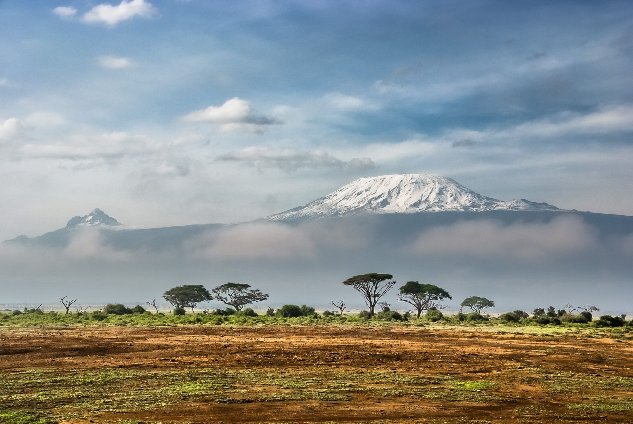
Visual essay · eight chapters · 5,895 m
A dormant volcano 5,895 m tall, with three cones and a torch lit on the night of 8–9 December 1961 — and ice retreated ≈85% since 1912. Eight chapters on the Roof of Africa. M01 M04 M08 M11
On the night of 8–9 December 1961, Lieutenant Alexander Nyirenda climbed the summit, raised the flag, and lit the Uhuru Torch — the mountain became the symbol of Tanzanian independence. M08
Chapter 1 · 5,895 m
Kilimanjaro is a dormant stratovolcano in north-eastern Tanzania, with Uhuru Peak at 5,895 m — the highest mountain in Africa and the highest volcano of the Eastern Hemisphere. M01
The mountain rises about 4,900 m above the surrounding plateau: the highest free-standing mountain in the world and one of the Seven Summits. M01
5,895 m on Uhuru — the roof of a continent, carried by a single volcano. M01 M10
THE FIGURE
Wikidata P2044 reads +5895; the essay says 5,895 m. M01 M10 M11
Wikipedia reads 5,895 m, Wikidata P2044 +5895, and OpenStreetMap ele 5895 on node 32059197. The essay keeps 5,895 m throughout. M01 M10 M11
ALONE
One of the world's Seven Summits. M01
Kilimanjaro is the highest free-standing mountain in the world — no part of a range — and one of the Seven Summits, a major trekking destination. M01
THE MEASURE
5,895 minus 10 m via the Suez isthmus; never P2660. M01 M11
Prominence is 5,885 m (5,895 minus 10 m via the Isthmus of Suez), ranked 4th in the world; isolation, 5,510 km, also 4th. The Wikidata P2660 reading of 5895 is wrong and stays out. M01 M11
THE BASE
The highest volcano of the Eastern Hemisphere. M01
From base to summit the mountain gains about 4,900 m — the highest volcano of the Eastern Hemisphere, rising alone from the Tanzanian savanna. M01
Figure gallery
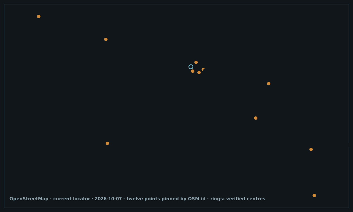
Chapter 2 · Kibo, Mawenzi, Shira
Kilimanjaro is a dormant stratovolcano with three cones: Kibo, the highest, Mawenzi at 5,149 m, and Shira, the lowest. M01
Mawenzi and Shira are extinct; Kibo is dormant and could erupt again — the fumaroles in its crater are proof the mountain breathes. M01
Three cones, one mountain — and the tallest of them only sleeps. M01
KIBO
The OSM extinct tag is ignored: Kibo is dormant. M01 M11
Kibo is the central and highest cone, with Uhuru Peak on the crater rim. Copy follows Wikipedia — Kibo dormant — not the extinct tag on node 318580515. M01 M11
THE SIBLINGS
OSM reads 3,962, Wikipedia 4,005 — the essay says ≈3,960. M01 M11
Mawenzi (node 318579794) reaches 5,149 m; Shira (node 318585199) is rated 3,962 m on OSM and 4,005 m on Wikipedia — the essay keeps ≈3,960 m, with the split noted. Both cones are extinct. M01 M11
THE AGE
The current crater formed 150,000–200,000 years ago. M01
Kibo spans over 24 km at the Saddle Plateau, and its last activity — 150,000–200,000 years ago — built today's summit crater. M01
Figure gallery
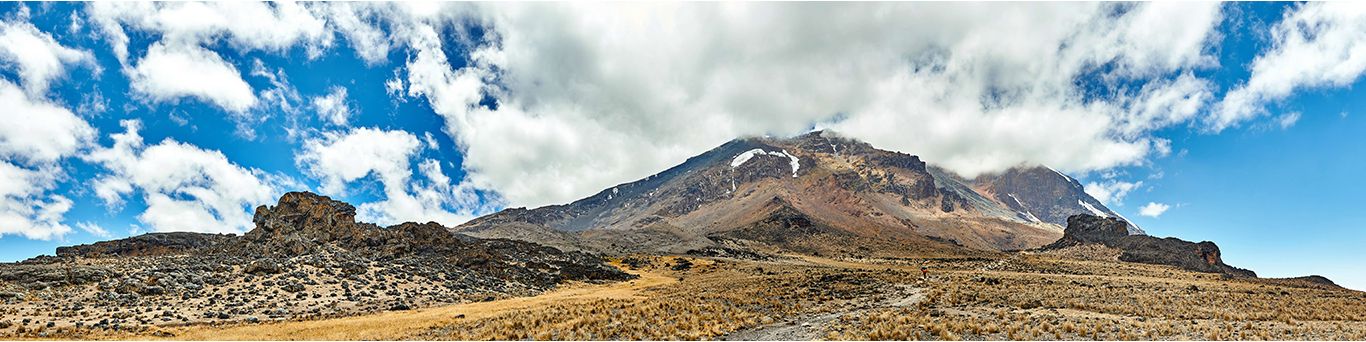
Chapter 3 · 1912 → 2011
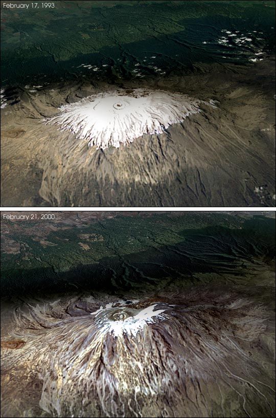
Kilimanjaro's glaciers — the largest in Africa, among them Credner, Furtwangler and Rebmann — have retreated since 1912: Cullen et al. (2013) re-mapped the cap from 2 historical maps and 9 satellite images. Only the Furtwangler Glacier is pinned on the map (way 498670437). M04 M01 M11
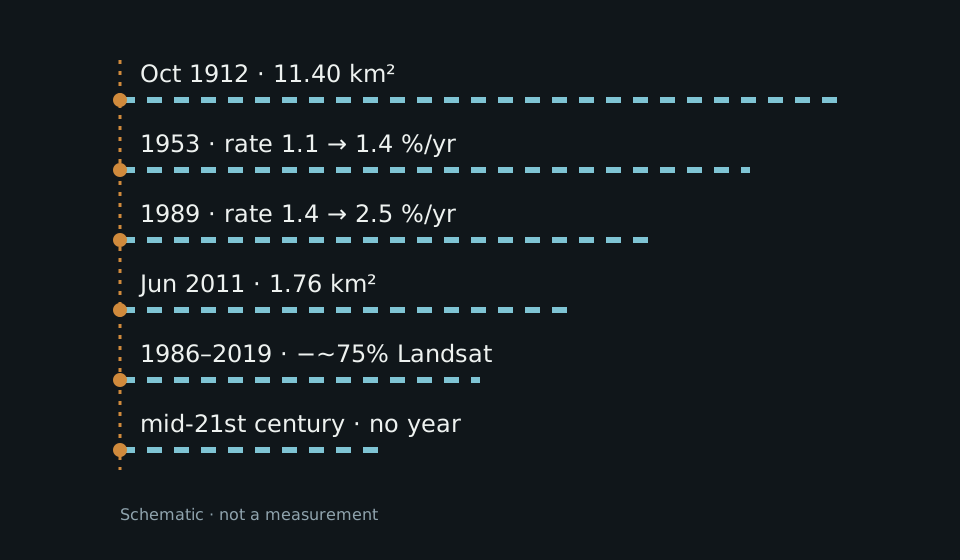
From 11.40 km² in October 1912 to 1.76 km² in June 2011, the mountain lost about 85% of its ice — and the slope glaciers have been out of balance since the 19th century. M04 M01 M07
From 11.40 to 1.76 km² in a century — Africa's best-documented glacial retreat. M04 M01
THE AREA
2 historical maps + 9 satellite images. M04 M01 M07
In October 1912 the cap covered 11.40 km²; by June 2011 it covered 1.76 km² — about 85% gone, per the Cullen et al. 2013 re-mapping. M04 M01 M07
THE RATE
The Thompson series (12.1/2.6) is never mixed in. M01 M04
Annual losses rose from 1.1% (1912–53) to 1.4% (1953–89) and 2.5% (1989–2007). The Thompson figures (12.1/2.6) belong to another series and are never mixed with the Cullen series. M01 M04
LANDSAT
Decreased by nearly 75% — NASA Landsat. M06
Between 1986 and 2019, glacier area fell by nearly 75%, reports NASA's Landsat programme — a second, independent measure of the same retreat. M06
THE FUTURE
Past hard dates (2015/2020) failed. M01 M05
The cap is expected to vanish by the mid-21st century — with no precise year, because past hard dates such as 2015 or 2020 failed. The essay records the trend and the uncertainty. M01 M05
Figure gallery
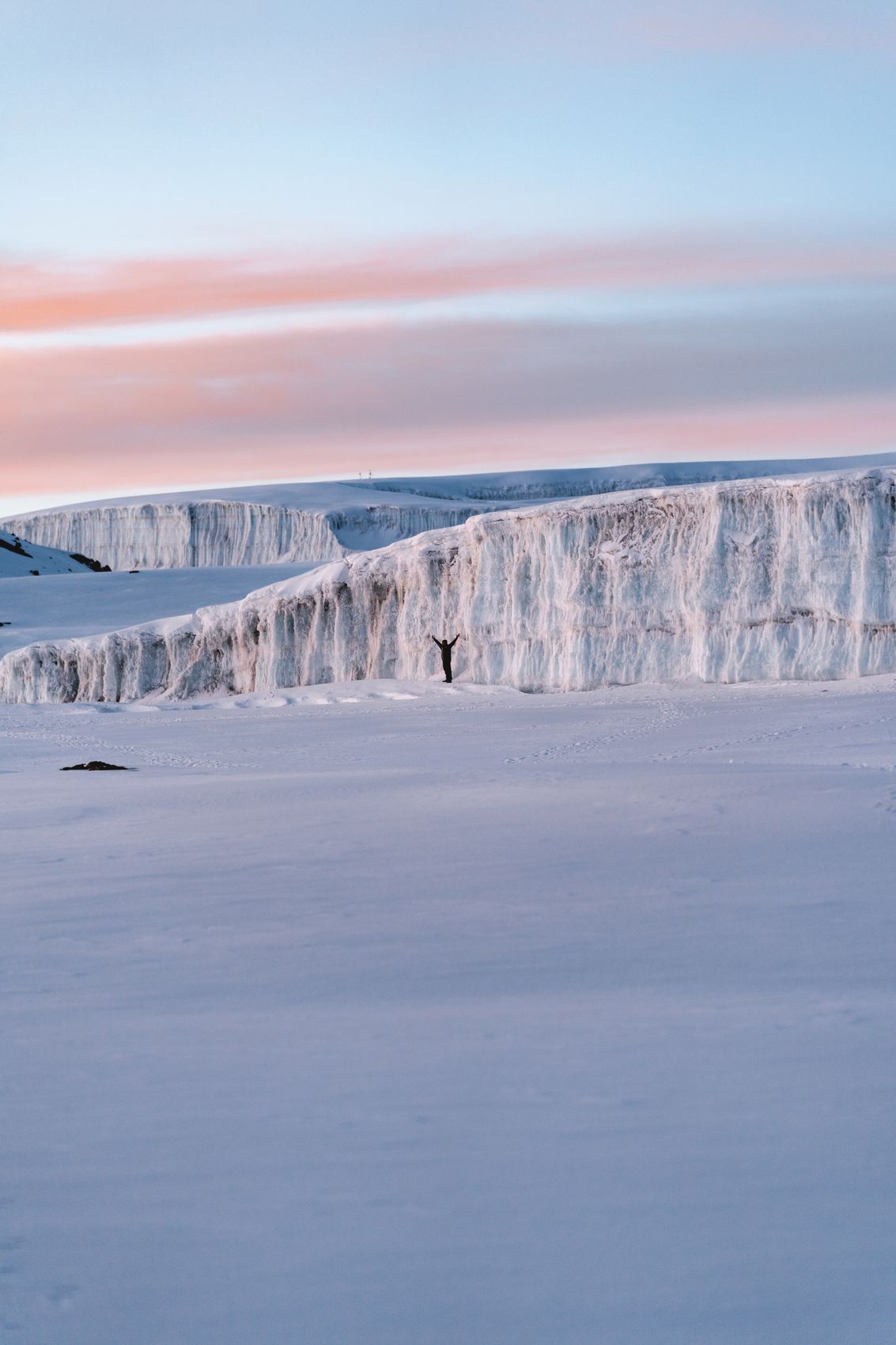
Chapter 4 · 1889 → 1961
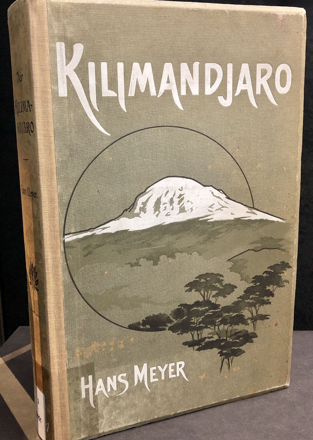
In 1889, Hans Meyer christened the summit Kaiser-Wilhelm-Spitze: Kilimanjaro became the highest point of German territory, in German East Africa, until 1918. M01 M11
After independence, the name Uhuru — freedom in Swahili — took hold with the new state; the torch lit on the summit sealed the symbol. M01 M08 M09
From the Kaiser's peak to Freedom Peak — the same mountain, another century. M01 M08
KAISER
The old name lives in the OSM old_name tag. M01 M11
Meyer named the summit Kaiser-Wilhelm-Spitze in 1889; until 1918, Kilima-Ndscharo was the highest point of German territory. The old_name tag of node 32059197 keeps the name. M01 M11
THE TORCH
A firm date: the torch was lit in 1961. M08
On independence eve, on the night of 8–9 December 1961, Lieutenant Alexander Nyirenda climbed the summit, raised the flag, and lit the Uhuru Torch, with Nyerere's dedication. M08
THE NAME
Wikipedia and the operators disagree; the essay picks neither. M01 M09 M08
Uhuru means freedom in Swahili, but the official renaming year is split: Wikipedia and tranquilkilimanjaro give 1964, the operators 1961. The essay notes the split, with no false precision. M01 M09 M08
THE RIM
Guidebooks often give 5,756 for Stella. M11 M01
On the crater rim stand Uhuru, Gilman's (node 652427765, 5,685 m) and Stella (node 1925292955, 5,744 m) — with the caveat that guidebooks often give 5,756 m for Stella. M11 M01
Figure gallery
Chapter 5 · 1848 → 1889
On 11 May 1848, the missionary Johannes Rebmann noted the equatorial snows in his diary; the account, published in May 1849, was dismissed as fantasy for 12 years. M03 M01
Confirmation came with the von der Decken expeditions of 1861–65, and the first ascent — Meyer and Purtscheller, on 6 October 1889. M01
From the hallucination of a malaria-stricken missionary to a conquered summit in 41 years. M03 M01
REBMANN
The hallucination of a malaria-stricken missionary. M03 M01
Rebmann noted the snows on 11 May 1848; the Church Missionary Intelligencer published them in May 1849, and the Geographical Society of London called them the hallucination of a malaria-stricken missionary. M03 M01
THE PROOF
1887: Meyer at the ice edge; 1888: aborted. M01
The von der Decken expeditions (1861–65) and the second attempt with Kersten (1862) confirmed the snows; in August 1871, Charles New became the first European at the equatorial snows. Meyer reached the Kibo ice edge in 1887 and turned back in 1888 (the Abushiri Revolt). M01
THE SUMMIT
The guide Lauwo's role is uncertain — the essay notes it. M01
On 6 October 1889, Hans Meyer and Ludwig Purtscheller climbed Kibo first. The identification of the guide Yohani Kinyala Lauwo stays uncertain — he did not remember them — so the essay notes his role with reserve. M01
THE HEIRS
Hans Meyer Peak, on Mawenzi. M01
Mawenzi was first climbed on 29 July 1912, by Oehler and Klute (Hans Meyer Peak); the first woman on Kibo, Sheila MacDonald, arrived on 30 September 1927. M01
Figure gallery

Chapter 6 · 7 routes
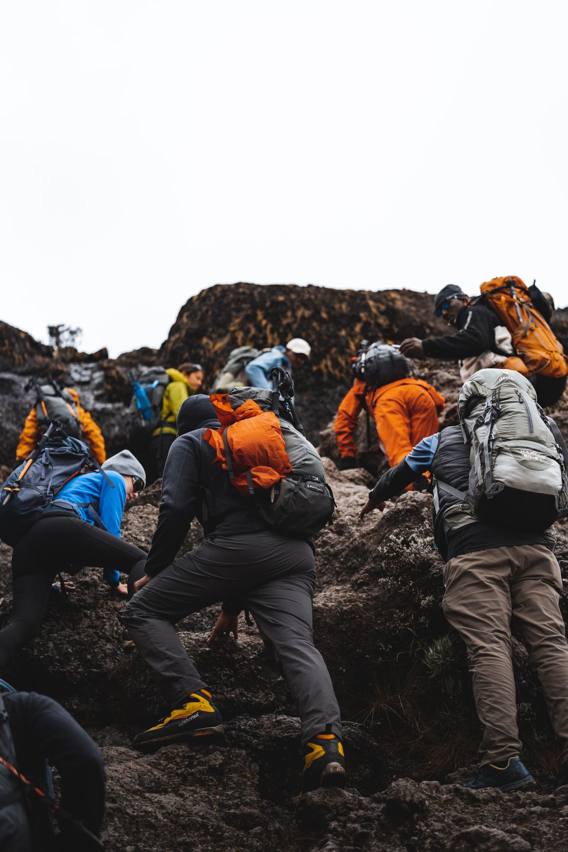
Seven official routes climb the mountain — Lemosho, Machame, Marangu, Mweka (descent only), Rongai, Shira and Umbwe — plus the Western-Breach variant and the Northern Circuit, at over 7 days. M01 M02
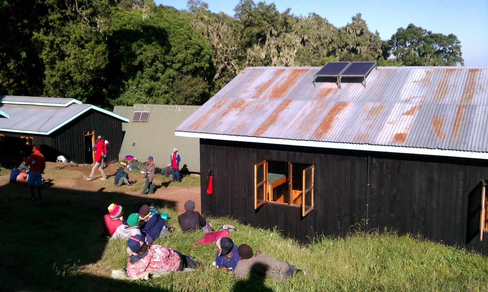
Marangu is the shortest and cheapest, hut-based, but with the lowest success rate; the final push leaves Kibo Hut (4,730 m) over frozen scree, for dawn. M01
Roughly 50,000 trekkers a year, 70–80% success — round figures, route-dependent. M01
SEVEN
Lemosho, Machame, Marangu, Rongai, Shira, Umbwe. M01 M02
The seven official routes are Lemosho, Machame, Marangu, Mweka (descent only), Rongai, Shira and Umbwe; Machame takes 6–7 days, Lemosho 6–8, and the Northern Circuit over 7. M01 M02
MARANGU
A short acclimatisation profile means low success. M01
Marangu, the hut route, is the shortest and cheapest — and has the lowest success rate, from its short acclimatisation profile. An extra day is added at Horombo, and the final push leaves Kibo Hut (4,730 m) over frozen scree, for dawn. M01
THE NUMBER
16,425 hikers against 28,470 capacity. M01 M02
Roughly 50,000 trekkers a year, at 70–80% success — round figures, route-dependent. TANAPA, via the national park: 58,460 tourists in 2012–13, 16,425 hikers in 2011–12 against 28,470 capacity, and US$51M revenue in 2013. M01 M02
THE GATES
Lemosho Gate: 2,100 m. M11 M02
The Marangu (node 2142573962), Machame (node 11917135970) and Lemosho (node 12223874665, 2,100 m) gates open the routes; Mandara (node 2459235292, 2,720 m) and Horombo (node 11908631624, 3,720 m) huts mark the Marangu climb. M11 M02
Figure gallery
Chapter 7 · 800 → 5,895 m
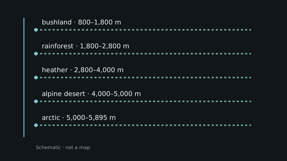
Per Wikipedia, the mountain has five climate bands: bushland 800–1,800 m, rainforest 1,800–2,800 m, heather and moor 2,800–4,000 m, alpine desert 4,000–5,000 m, and arctic 5,000–5,895 m. M01
The national park — a German game reserve, then a forest reserve from 1921 — was born in 1973, entered UNESCO heritage in 1987, and expanded in 2005 to 1,688 km², headquartered at Marangu. M02
Five stacked worlds, from savanna to ice, in one 1,688 km² park. M01 M02
THE BANDS
The section carries a cite flag — figures per Wikipedia. M01
Bushland 800–1,800 m, rainforest 1,800–2,800 m, heather 2,800–4,000 m, alpine desert 4,000–5,000 m, arctic 5,000–5,895 m — all per Wikipedia, whose section carries a cite flag. M01
THE LIFE
Africa's largest glaciers, above. M01
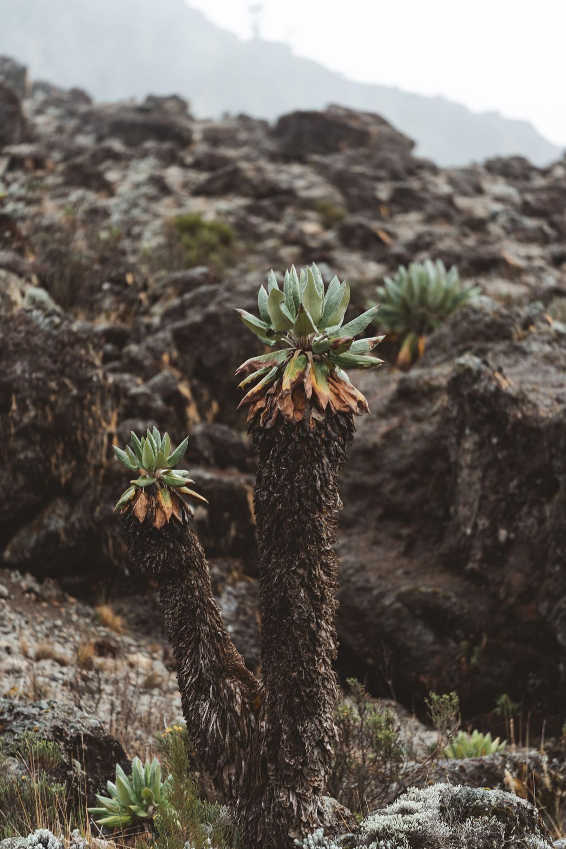
Montane and cloud forest grow on the slopes, with the endemic giant Dendrosenecio kilimanjari; above them stand Africa's largest glaciers. M01
THE PARK
The 2005 extension covered the whole montane forest. M02 M01
A game reserve, then a forest reserve from 1921, the national park was born in 1973, became a WHS in 1987, and expanded in 2005 to 1,688 km², headquartered at Marangu. The Chagga Kingdoms on the southern and eastern slopes lasted until Nyerere's 1963 abolition. M02 M01
Chapter 8 · 1936 → 2022
Perhaps the world's most literary mountain (Bissell): Hemingway titled his story The Snows of Kilimanjaro (1936), filmed with Peck in 1952, and Eggers climbed the mountain in an essay. M01
The name itself is disputed: the massif has no Chagga name (the Kipoo and Kimawenze peaks — spotted and broken top), and the theories — kilemanjaare, unclimbable; Krapf 1860; Thomson 1885 — contradict each other. M01
A mountain with no certain name and certain fame: from story to film, from film to geology. M01
HEMINGWAY
Perhaps the world's most literary mountain — Bissell. M01
Hemingway's story The Snows of Kilimanjaro (1936) became a film with Gregory Peck in 1952; Dave Eggers wrote Up the Mountain Slowly…. Bissell calls Kilimanjaro perhaps the world's most literary mountain. M01
THE NAME
The essay presents the dispute and picks nothing. M01
The massif has no whole Chagga name: the peaks are called Kipoo and Kimawenze (spotted, broken top). The theories — kilemanjaare, unclimbable; Krapf 1860, mountain of greatness or caravans; Thomson 1885, white mountain — crash into the kilima-means-hill objection. The essay presents the dispute and picks nothing. M01
THE SEAL
Geology and fame, sealed late. M01 M02
Kilimanjaro joined the Seven Natural Wonders of Africa in 2013, and in October 2022 became an IUGS Geological Heritage Site. M01 M02
Sources and limits
Annotations retain the status in the source ledger.
Tertiary encyclopedia · official-link-unverified
Tertiary encyclopedia · official-link-unverified
Tertiary encyclopedia · official-link-unverified
Peer-reviewed glaciology · official-link-unverified
Space agency observatory · official-link-unverified
https://science.nasa.gov/earth/earth-observatory/mount-kilimanjaro-closeup-4708/
Space agency observatory · official-link-unverified
https://science.nasa.gov/missions/landsat/mountaintop-glacier-ice-disappearing-in-tropics-worldwide/
Cryosphere organisation · official-link-unverified
Commercial operator · official-link-unverified
https://www.ultimatekilimanjaro.com/the-true-meaning-of-uhuru-peak/
Commercial operator · official-link-unverified
Structured data · official-link-unverified
OpenStreetMap records · official-link-unverified
https://www.openstreetmap.org/node/32059197 · https://www.openstreetmap.org/node/318580515 · https://www.openstreetmap.org/node/318579794 · https://www.openstreetmap.org/node/318585199 · https://www.openstreetmap.org/way/498670437 · https://www.openstreetmap.org/node/652427765 · https://www.openstreetmap.org/node/1925292955 · https://www.openstreetmap.org/node/2142573962 · https://www.openstreetmap.org/node/11917135970 · https://www.openstreetmap.org/node/12223874665 · https://www.openstreetmap.org/node/2459235292 · https://www.openstreetmap.org/node/11908631624
Commons original · official-link-unverified
https://commons.wikimedia.org/wiki/File:Kilimanjaro_from_Amboseli.jpg
Commons original · official-link-unverified
https://commons.wikimedia.org/wiki/File:Furtwangler_Glacier_Mount_Kilimanjaro_Tanzania.jpg
Commons original · official-link-unverified
https://commons.wikimedia.org/wiki/File:Climbers_Barranco_Wall_Kilimanjaro_Tanzania.jpg
Commons original · official-link-unverified
https://commons.wikimedia.org/wiki/File:Mandara_hut_2012_Mt-Krimanjaro.jpg
Commons original · official-link-unverified
Commons original · official-link-unverified
https://commons.wikimedia.org/wiki/File:Lemosho_Route_Panorama.jpg
Commons original · official-link-unverified
https://commons.wikimedia.org/wiki/File:Kilimanjaro_glacier_retreat.jpg
Commons original · official-link-unverified
https://commons.wikimedia.org/wiki/File:Johannes_rebmann.gif
Commons original · official-link-unverified
https://commons.wikimedia.org/wiki/File:Hans-Meyer-Kilimandjaro-Titelseite.jpg
Commons original · official-link-unverified
https://commons.wikimedia.org/wiki/File:Dendrosenecio_kilimanjari_closeup_Mount_Kilimanjaro.jpg


_(3409734510).jpg)


