Seventeen million years on one slider
The slider picks a moment. The map shows the extent of the water at that moment over today's borders, rivers and coasts, and Romania stays faintly visible underneath, so you can see what stood above it. The five fixed moments come from two published reconstructions: the Badenian sea of 17–13 million years ago and Lake Pannon of 11 million years ago follow NordNordWest's maps, drawn after the exhibition of the Lower Austrian State Museum; the highest level of the giant lake and the drying that emptied it follow the 2021 reconstruction by Dan Palcu and his colleagues. Between the moments the map dissolves from one into the next, without pretending to know where the shore ran in the years between.
The dotted line is today's coast. The cities are today's, for bearings.
Giant lake
11.6–9.75 million years ago
The sea lost its link to the ocean and became a lake of half-salty water, the largest in Earth's history. Transylvania, the Romanian Plain, Moldavia and Dobrogea are under water; on the original map, the Carpathians stay dry.
Palcu et al., 2021, fig. 1 (CC BY 4.0)
How a sea closes
Some 34 million years ago, at the start of the Oligocene, the mountain chains rising from the collision of Africa with Europe cut the northern part of the old Tethys Ocean off from the rest. The water left north of the Alps, the Dinarides and Anatolia got a name of its own, Paratethys, and a fate of its own: a wide, shallow sea stretching from the Vienna Basin to beyond the Aral Sea, which would open and close several times towards the Mediterranean and the Indian Ocean before it was left, for good, with no way out.
The first moment on the slider catches the sea wide open. Between 17 and 13 million years ago, in the Badenian, the water was as salty as the ocean and connected to the Mediterranean. It covered the Pannonian Plain, Transylvania, Moldavia and the Romanian Plain; of Romania's present territory, only the Carpathians, Dobrogea and part of the north stayed dry. On the 2005 map of the Lower Austrian State Museum, redrawn by NordNordWest, 78.8% of today's country lies under water.
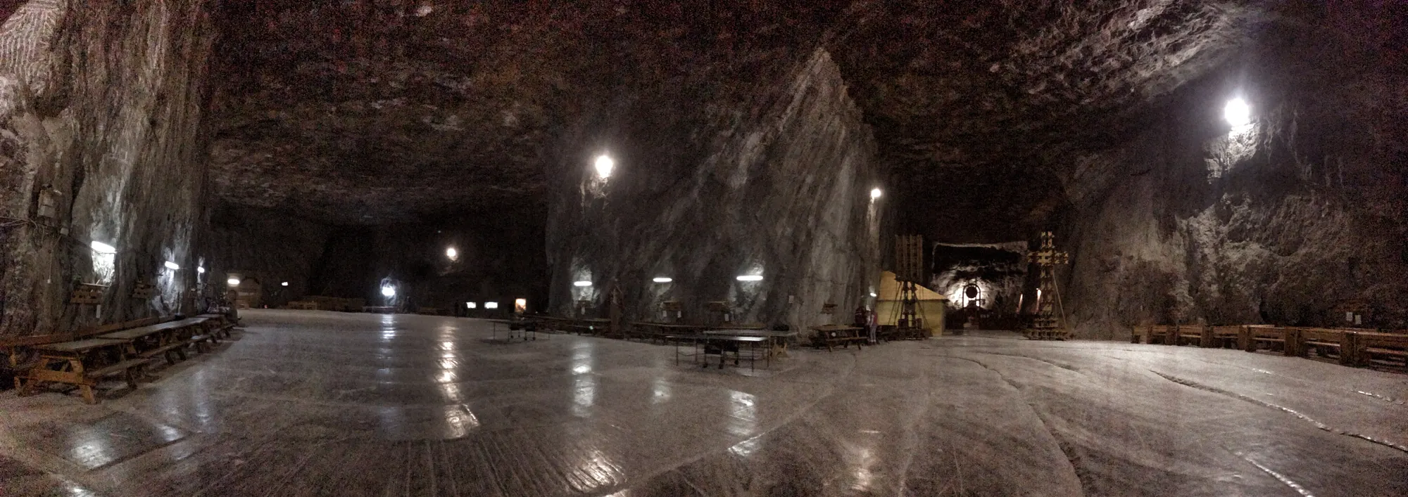
Towards the end of that period, 13.81 million years ago, the link to the ocean tightened so much that the sea began to evaporate faster than it filled. For a few hundred thousand years, until 13.32 million years ago, salt precipitated on the floor of the basins in Transylvania, in front of the Carpathians and in southern Poland, in layers hundreds of metres thick. The Badenian salinity crisis, as geologists call it, is why Romania has Praid, Turda, Ocna Mureș, Sovata, Dej, Slănic, Ocnele Mari and Cacica: the salt in those mines is the water of Paratethys, dried out.
The second moment is the one that made it into the Guinness Book of Records. Around 11.6 million years ago, at the start of the late Miocene, the last straits closed and Paratethys was left a lake. A lake of 2.8 million square kilometres, slightly larger than today's Mediterranean, holding 1.77 million cubic kilometres of water, more than a third of the Mediterranean's volume, according to the calculations of Dan Palcu, of GeoEcoMar and the University of Bucharest, and his colleagues in Russia, the Netherlands and Germany. Its water carried 12–14 grams of salt per litre, about a third of the ocean's and less than today's Black Sea, at 17–18 grams. On their reconstruction of the highest level, 80 metres above the reference level, laid over today's map, the lake covers 81.5% of present-day Romania. The figure is approximate: their map is drawn at the scale of a continent and shows the Carpathians as land, but fitted over today's map by the coastlines it leaves part of the mountains under water too. The least covered are Bihor, Sibiu, Suceava and Alba counties, with 31–41% under water.
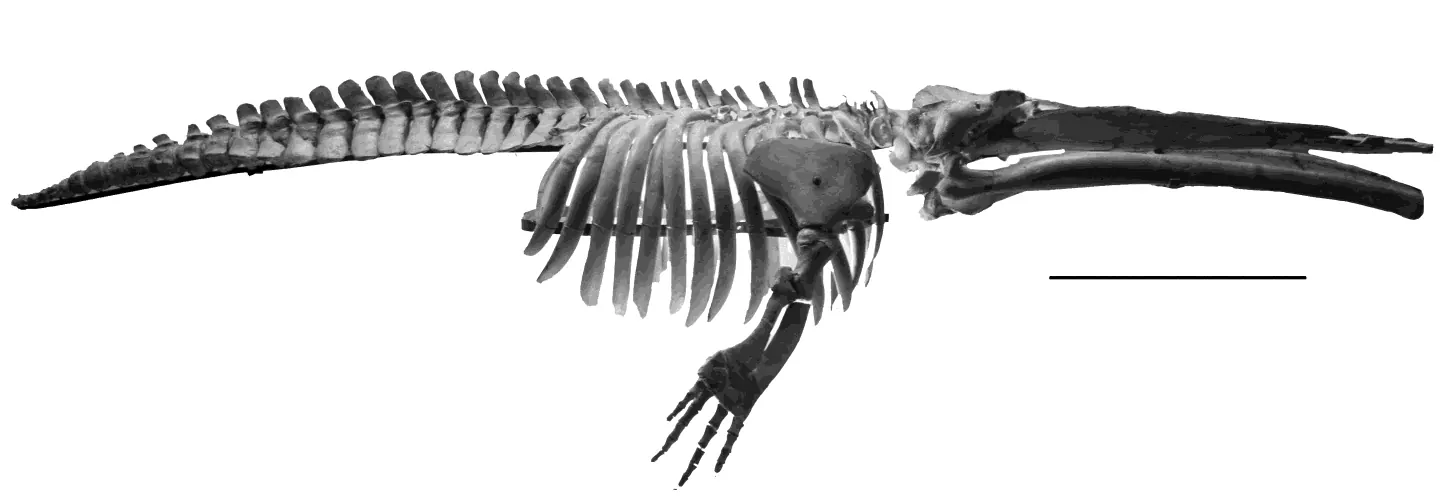
In a lake that large and that lightly salted, life went its own way. Clams and ostracods found nowhere else, seals, dolphins and small whales, raised in that closed water. The smallest baleen whale known, Cetotherium riabinini, lived here: the skeleton found in Ukraine is about three metres long.

How much of your county was sea floor
The same maps, cut along today's counties. Each bar shows how much of the county's area lies under water at that moment. The figures are approximate: the published maps are drawn at the scale of a continent and were fitted over today's map by their coastlines, so inland, and above all in the mountains, they can be well off. A mountain county shown at 100% may keep a good part of itself above the water, and one at 5% may in fact be dry.
Click a county or pick it from the list.
Areas are computed in an equal-area projection from the county outlines at geoBoundaries. Lake Pannon of 11 million years ago follows NordNordWest's map, which already leaves Transylvania dry; Palcu's reconstruction of the maximum level keeps it under water. The two maps disagree about Transylvania, and the text below says why.
The lake that emptied by three quarters
A lake with no outlet lives on rain and rivers. When the climate dried, between 11 and 7.5 million years ago, Paratethys went through four crises, one after another. Palcu and his colleagues dated them on the cliff at Cape Panagia, on the Taman Peninsula, where the layers of the lake floor read like the pages of a book, with the magnetic polarity of the Earth as the calendar. The first crisis brought the water down by about 230 metres. The last and worst, named the Great Khersonian Drying, began 8.3 million years ago, worsened between 7.9 and 7.65 million years ago, and lowered the level by more than 250 metres.
At the lowest level, the water gathered into a salt lake in the basin of today's Black Sea, at 28–33 grams of salt per litre according to the model, and into a few freshened lakes at the margins: in the Pannonian Plain, in front of the Carpathians, at the Kuban and the Terek, in the Caspian. The salt stayed in the middle and the fresh water at the edges, exactly as happened to the Aral Sea in recent decades. On the land that appeared overnight, geologically speaking, steppes and forest-steppes spread and joined Central Asia to Europe. Steppe animals moved west through them, and pollen in the European layers shows peak aridity between 8 and 7.5 million years ago, precisely when the lake was smallest.
Then, 7.65 million years ago, the water came back. The Maeotian transgression refilled the basins, but the lake was never whole again. From here on, the history of Paratethys is the history of its breaking into pieces.
Where the sea still shows
Transylvania was the first to come out. The Vienna and Pannonian basins broke away from the rest of the sea 11.6 million years ago, and the Transylvanian Basin followed about 300,000 years later, 11.3 million years ago, as the Eastern and Southern Carpathians rose and closed it in. The date comes from the section at Oarba de Mureș, in Mureș County, where volcanic ash beneath the transition layers could be dated with argon. That is why the two maps from roughly 11 million years ago contradict each other about Transylvania: the Austrian map shows it already dry, while Palcu's reconstruction keeps it under water at the lake's maximum. Both can be true, a few hundred thousand years apart.
Lake Pannon died slowly, filled by the deltas of the Danube and the rivers of the time, which advanced through it by about 67 kilometres every million years. Its own fauna disappeared around 4 million years ago, when two deltas advancing towards each other met in the south-eastern corner of the plain. The Dacian Basin, the water in front of the Carpathians, held out longest on Romanian territory: in the late Pliocene and early Pleistocene it too filled with sediment, and its rivers began to spill over the sill into the Black Sea. The Black Sea and the Caspian are what is left of Paratethys.
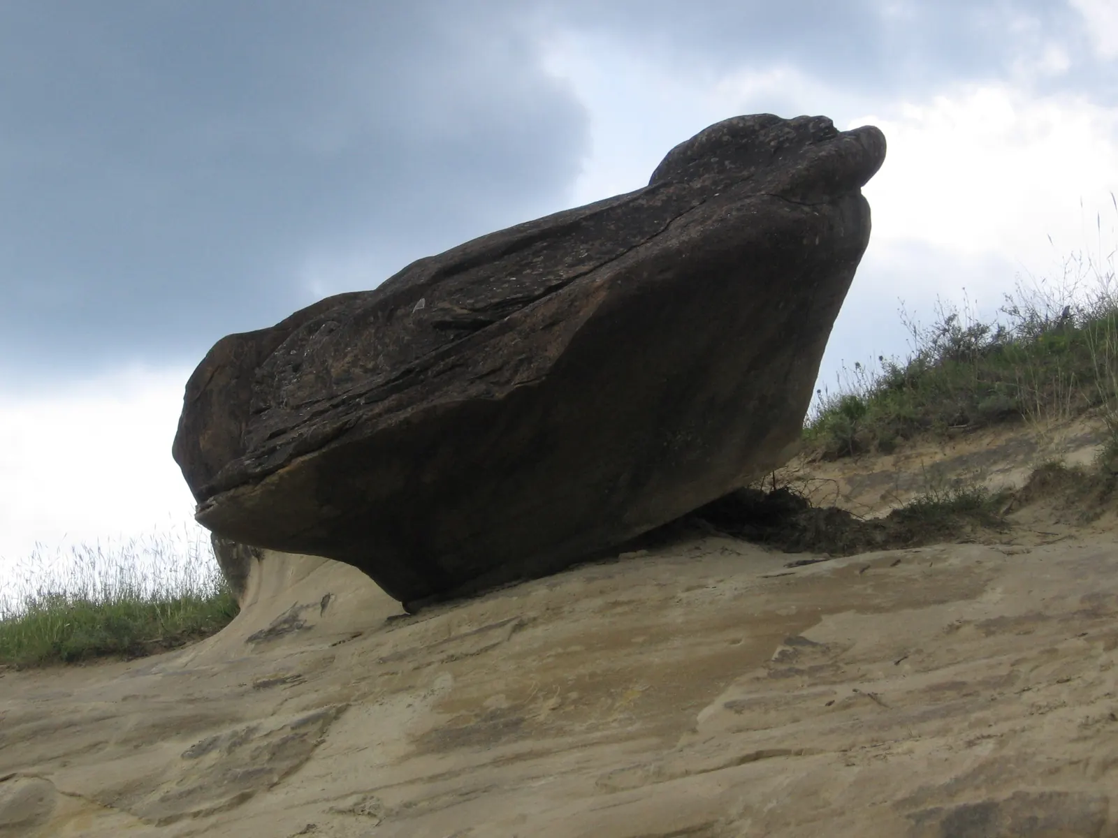
The rest is visible to the naked eye, if you know what to look for. The salt at Praid and Slănic. The concretion-bearing sands in the Buzău hills, where a river once ran towards the lake. The oil and gas of the Romanian Plain and of Transylvania, formed from what lived and died in that water. The Romanian Plain itself, flat as a table, because it is the floor of a basin filled to the brim. And underneath it all, in the layers every water well in the south and east of the country passes through, the shells.
Of today's Romania's 237,432 square kilometres, 193,442 lay, at one point, under the largest lake that has ever existed.Computed on the Palcu et al. 2021 reconstruction of the maximum level, in an equal-area projection; see the method.
How the sea was put back
There is no public geographic file of the Paratethys shorelines. The maps on this page were extracted from two reconstructions published under open licences and fitted over today's map.
- The lake's maximum level and the minimum of the Great Khersonian Drying come from figure 1 of "Late Miocene megalake regressions in Eurasia" (Palcu, Patina, Șandric, Lazarev, Vasiliev, Stoica, Krijgsman, Scientific Reports, 2021, CC BY 4.0). The figure was georeferenced on its own lines: the meridians and the 40° parallel drawn on it gave the base conic projection, and the modern coastlines drawn by the authors over the reconstruction were matched to the Natural Earth coastlines through a quadratic correction, with a mean residual of 9 pixels, roughly 35 kilometres at the figure's scale. The figure's colours were then classified: water at the maximum level, the lakes left at the minimum, and the salt lake in the Black Sea basin.
- The Badenian sea of 17–13 million years ago and Lake Pannon of 11 million years ago come from NordNordWest's maps on Wikimedia Commons ("Paratethys vor 17–13 Mio Jahren" and "Pannon-See vor 11 Mio Jahren", CC BY-SA 3.0 de), drawn after the 2005 exhibition "Meeresstrand am Alpenrand" of the Lower Austrian State Museum on the relief base of Europe in the Lambert azimuthal equal-area projection. They were fitted over today's map on the state borders drawn on them, with a mean residual of 7 kilometres.
- Today's borders, coasts and rivers are from Natural Earth (1:10 million, public domain). The outlines of Romania and its counties are from geoBoundaries (CC BY 4.0). Submerged areas are computed in the European equal-area projection (EPSG:3035) after the extracted shorelines were smoothed with a 7-kilometre filter, so that the pixel staircases of the source figures do not survive. The page's map is in a Lambert azimuthal equal-area projection centred on 29° east, 45° north.
- Figures in the text: the lake's area and volume, salinity, the chronology of the crises and the losses of surface are from Palcu et al. 2021; the age of the Badenian salinity crisis from de Leeuw, Bukowski, Krijgsman and Kuiper, Geology, 2010, with the 2018 revision; the isolation of the Transylvanian Basin from Vasiliev, de Leeuw, Filipescu, Krijgsman, Kuiper, Stoica and Briceag, Palaeogeography, Palaeoclimatology, Palaeoecology, 2010; the end of Lake Pannon from Magyar, Radivojević, Sztanó, Synak, Ujszászi and Pócsik, Global and Planetary Change, 2013; the filling of the Dacian Basin from Jipa and Olariu, Geo-Eco-Marina, 2009; the whale from Gol'din, Startsev and Krakhmalnaya, Acta Palaeontologica Polonica, 2014; the Black Sea's salinity from Encyclopaedia Britannica; Dan Palcu's words on the Buzău sands from his interview with Digi24 in December 2023. The full list of claims, each with its source, is verifiable in the bibliography above.


Limits. Palaeogeographic reconstructions are drawn at the scale of the continent, with generalised shorelines; a mountain 30 kilometres wide can be missing from them. The county percentages inherit that precision. The moments on the slider are four photographs from a 17-million-year film, and the passage between them is a visual dissolve, not a reconstruction of the years in between. The photographs are from Wikimedia Commons under the licences noted in each caption. The page carries no tracking script.