How many kilometres of unpaved road does Romania still have?
At the end of 2025, Romania had 20,959 km of public roads surfaced with gravel or bare earth, 24% of the 87,220 km network. Almost all of what remains without a bound surface, 99.4%, lies on county and communal roads; on the national network the share is only 0.7%.
What about your own commune? Search for it: what OpenStreetMap says, beside the official county figure.
The network, year by year
What a Romanian public road is made of
Romania's National Institute of Statistics keeps a record of every kilometre of road open to public traffic and assigns it to one of four surface classes, from returns made by the road administrators. The band below shows how the 87,220 km of 2025 divide up. Move the year to see how the split has changed since 2000, the first year in which all four classes are published separately.
In 2000, almost exactly half the network, 49.8%, had no surfacing. Twenty-five years later the share is 24.0%. Gravel roads fell from 26,633 km to 14,018 km, earth roads from 12,429 km to 6,941 km. Over the same period the modernised class grew by 26,388 km while the network as a whole lengthened by only 8,741 km: most of the new asphalt went onto roads that already existed and were gravel or earth.
The 8,741 km by which the network grew between 2000 and 2025 are kilometres that entered the public road inventory. Some may be newly built, some taken over or reclassified from other categories; the statistics measure the length of the inventory rather than the works carried out, so which is which cannot be told from them.
The classification
What each of the four classes means
The figures below are for 2025. The distinction that matters to anyone using the road is between the first two classes, which carry a layer bound with bitumen or cement, and the last two, which do not.
Modernised
45,806 km · 52.5%Heavy surfacing: asphalt concrete or cement concrete, designed for intense traffic and a service life beyond twelve years. This class includes the country's 1,268 km of motorway.
Light bituminous surfacing
20,455 km · 23.5%A thinner bituminous layer (bituminous macadam, sealed bituminous aggregates, asphalt mortars), designed for light and medium traffic and a service life of eight to twelve years. It is a bound surface: no dust comes off it.
Gravel
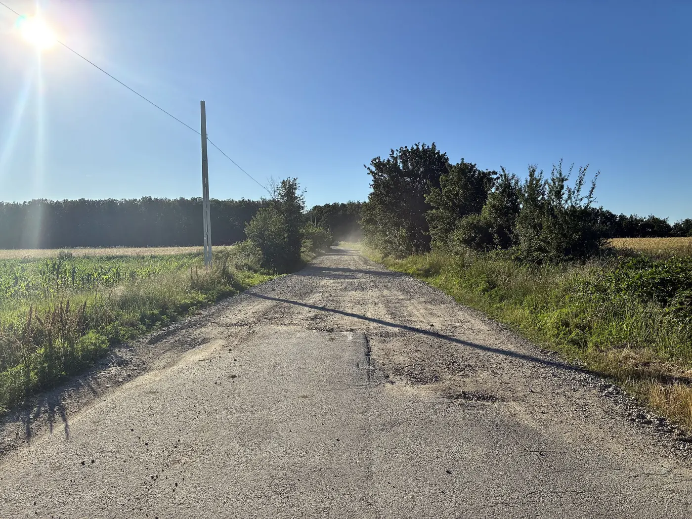
14,018 km · 16.1%Macadam: crushed stone compacted until it locks, with no binder on top. It takes light traffic, clogs up, throws dust in dry weather and forms ruts in the wet.
Bare earth
6,941 km · 8.0%The earthworks, with nothing on top. Passable in good weather; after rain or snowmelt, the soil decides whether it will still carry an ordinary car.
The four names, and the class each kilometre falls into, come from the statistical office. The technical description of heavy and light surfacing follows the Romanian road-engineering classification, which calls them "permanent" and "semi-permanent" and separates them by materials and designed service life.
The two networks
One country, two very different networks
Public roads split administratively in two: national roads, run by the state, and county and communal roads, run by county and local councils. The same four surface classes, applied to each network separately in 2025, look like this:
National roads
18,193 km · unsurfaced: 134 km (0.7%)
County and communal roads
69,027 km · unsurfaced: 20,825 km (30.2%)
A kilometre of county or communal road is 41 times more likely to be gravel or earth than a kilometre of national road. The reason is not that the state paved only its own: national roads were already 90.6% modernised in 2000, so little was left to do there. Of the 26,388 km added to the modernised class between 2000 and 2025, 22,347, or 84.7%, are county and communal roads. The local network rose from 9.4% modernised to 41.0%, a far larger change than anything that happened on the national network over the same years.
What remains of that network explains why the national figure is still a quarter. The local network is almost four times longer than the national one, and 20,825 km of it are still gravel or earth, down from 38,841 km in 2000. At the average pace of the past twenty-five years, about 720 km a year, finishing it would take roughly twenty-nine more years.
That last sentence is a straight extrapolation rather than a forecast: it assumes the pace holds, the network stops lengthening, and no surfaced kilometre degrades back. None of the three is guaranteed.
The map
How much of your county's local network has no surfacing
The map colours each county by the share of its county and communal roads that are gravel or earth. Select a county for its record: the four classes in kilometres, plus how the share has moved since 2000. The year chosen above drives the map as well.
The map is loading. If it does not appear, the county shares are in the ranking below.
Bucharest is left uncoloured: it has no county or communal roads, only national roads and city streets. City streets are measured separately, below.
Highest shares, 2025
- 1896 km of 1,64254.6%was 72.5% in 2000
- 2627 km of 1,27349.3%was 63.8% in 2000
- 31,369 km of 2,91646.9%was 70.6% in 2000
- 4519 km of 1,12346.2%was 51.5% in 2000
- 5913 km of 2,00045.6%was 68.2% in 2000
- 6835 km of 1,83445.5%was 49.0% in 2000
At the other end: Ilfov 7.1%, Brăila 9.3%, Teleorman 10.4%, Olt 10.7%. Brăila and Teleorman are the only two counties with no bare-earth county or communal road left at all: Brăila since 2017, Teleorman since 2021.
The unsurfaced kilometres are not piled up in one corner of the country. The ten counties holding the most add up to 45.7% of the total, and the largest single holding, Argeș, is 6.6%: the problem is spread rather than regional. What the map shows is something else: how unevenly the paving went from one county to the next. Vaslui came down from 78.5% to 20.6% in twenty-five years, Iași from 75.6% to 23.1%, Cluj from 69.2% to 22.1%. Tulcea came down from 45.5% to 42.3%, Constanța from 49.0% to 45.5%, Brașov from 51.5% to 46.2%.
Your commune
What about the road in your commune?
Official statistics stop at the county: the statistical office (INS) says nothing about any single commune, the rural municipality that usually groups several villages. The volunteer-made OpenStreetMap does draw county and communal roads, and for some of them someone has recorded what the surface is made of. Search for your commune to see what the map says, how much of the network has its surface recorded, and what the statistics say for your county. This is not an official figure.
Communes only, not towns: for town streets see the list further down.
The two sources, county by county
In OpenStreetMap, roads carrying a DJ or DC number add up to 62,318 km, which is 90.3% of the 69,027 km INS gives for the county and communal network. 88.1% of them have the surface recorded. County by county, the two sources rarely agree: the official share falls inside the OpenStreetMap range in 15 of 41 counties, lies above the top of the range in 18 and below the bottom in 8. We cannot say which is closer to reality: INS records the surfacing laid on the road, volunteers describe what they see today, and a road with no tag at all can be anything.
| County | Official (INS, 2025): gravel or earth | OpenStreetMap: range | Roads with the surface recorded | Length in OpenStreetMap vs INS |
|---|
What we count and what we do not
We count the roads that carry a DJ (county) or DC (communal) number on the map, leaving out those under construction or only planned. A check supports the choice: county by county, these roads add up to between 77% and 102% of the official length, a median of 92%. Roads with no number on the map, and village streets without a DJ or DC number, are left out, so a commune may have more on the ground than the card shows.
Gravel or earth means, in OpenStreetMap, the tags surface=gravel, fine_gravel, compacted, pebblestone, stone, rock, ground, dirt, earth, mud, sand, grass and clay, plus unpaved, meaning "no surfacing" with no further detail. Paved means asphalt, paved, concrete, paving_stones, sett, cobblestone and bricks. Lists of different values (for example asphalt;gravel) and unknown values count as "unclear". OpenStreetMap does not separate the statistical office's "modernised" from "light surfacing", so only surfaced and unsurfaced roads are compared.
Contains information from OpenStreetMap, © OpenStreetMap contributors, made available under the ODbL 1.0 (openstreetmap.org/copyright). Geofabrik extract of 29 July 2026. Commune outlines: ANCPI, via geo-spatial.org, CC BY-SA 4.0. The derived data is in the separate file osm.json, also under ODbL.
City streets
Inside towns, the measurement has only two steps
Streets inside towns are not part of the public road network above, and they are measured with a blunter instrument: the statistical office publishes only total street length and how much of it is modernised. "Not modernised" here covers light bituminous surfacing, gravel and earth together, so it is not the same thing as the "gravel or earth" on the map.
The 319 towns and municipalities with both figures for 2025 hold 32,465 km of street, of which 75.6% is modernised, up from 57.5% in 1990, when 259 towns reported both figures. Sixteen towns have their whole street network modernised. At the other end, the town of Ștefănești in Botoșani county has 8 km modernised out of 64.
The list shows the first 400 results. The bar shows the modernised share of that town's street network.
Method and sources
Where the figures come from
Public road length, by administrative category, surface type, county and year, comes from matrix TRN139A of Romania's National Institute of Statistics, last updated on 20 May 2026 and downloaded on 10 September 2026 from TEMPO-Online. It covers 1990 to 2025, but the four surface classes are published separately only from 2000 onwards; before that, only the modernised and light-surfacing figures exist. Every gravel and earth figure on this page therefore starts in 2000. Town street length and the modernised part of it, by town and year, come from matrices GOS104A and GOS105A, updated on 27 August 2026.
The county and communal network is calculated as total network minus national roads. The two categories together cover the total exactly, so the subtraction returns the same figure as the directly published one; checked across all 1,404 county-year cells for total, modernised and light surfacing. For 2003 it makes a difference: the published gravel and earth figures for the county and communal network are wrong in all 54 territorial units in the table (summed, they fall 25,039 km short of the total published on the same line), and the subtraction restores them correctly. Where a row is missing from the table altogether, the value is zero: read that way, the four classes sum exactly to the published total in every cell after 2000, except for 2003 and two small inconsistencies the statistical office carries in the table itself: 29 km moved between Cluj and Harghita in 2006, and one kilometre between Dolj and Mehedinți in 2011.
The statistical office notes that, lacking a complete official update when the 2025 results were published, one county's communal road figures were taken from the previous year. Which county cannot be established: eight counties have an identical local network across all four classes between 2024 and 2025, which can happen without any carry-forward, and the table does not mark the affected one.
The figure of 41 times in the two-networks section is the ratio between 30.17% and 0.74%, the unsurfaced shares of the two networks in 2025. The pace of about 720 km a year is the difference between 38,841 unsurfaced kilometres on the local network in 2000 and 20,825 in 2025, divided by the twenty-five years. County outlines come from the "UAT, Romania (polygon)" dataset published by geo-spatial.org from ANCPI data, under CC BY-SA 4.0.
What the data does not say: the condition a kilometre classed as modernised is actually in. The class describes the type of surfacing laid there, not how much of it survives, and a road asphalted twenty years ago and left unmaintained since is still "modernised" in the table. Nor does length say anything about how many people use the road: the 20,959 unsurfaced kilometres are not distributed across population here, and an earth communal road between fields and one that is a village's only way out are the same line in the table.
Every figure published here went through an independent check of the calculation pipeline, run against the downloaded raw data before publication. The check flagged two errors, both corrected: motorway kilometres were being treated as zero in the categories where the statistical office does not publish them at all, and the historical trajectory for town streets was mixing years in which some towns appeared in one matrix and were missing from the other. The second correction moved the 1990 modernised share from 57.4% to 57.5%.