1.
1820 · roads, customs, relays
The salt and wine road: the Romanian Principalities measured in post-days and cart-days, around 1820
Around 1820, a letter changed horses from post house to post house and flew. A cart of salt waded fords, paid customs in market towns and could sit for days in quarantine. This page puts both speeds on the same map — and sets it against attested road records between 1805 and 1820.
In this page's model, Bucharest–Brașov comes out at 3.5 hours by car today, 2.9 days for a post traveller then, 15–19 days by loaded cart.
Five days by post
From Bucharest, a post traveller — fourteen hours of riding a day, horses changed at every relay — reaches 36 of the 42 towns on the map in five days, as far as Iași, Sibiu and Suceava. The rings are days on the road; the thick line is day five.
The same five days, by cart
A salt cart moves eight hours a day, wades fords and pays customs in the towns. In the same five days it reaches 4 towns: Urziceni, Ploiești, Giurgiu and Târgoviște. Freight did not travel like a letter.
The country in days of travel
When positions follow time instead of kilometres, post and cart give almost the same shape, because mountains slow both. The scale changes: one post day measures on the map what five cart days do.
Now you choose
Tap any town: the road to it appears, in hours, in post days and in cart days. "Start from here" moves the centre of the rings.
Two speeds on the same roads
The British consul William Wilkinson wrote in 1820 that the mode of travelling in the two principalities was so expeditious that "in this respect it is not equalled in any other country": post-houses in all directions, horses in abundance, a crate-like cart on four small wheels, four horses tied with cords, and a postilion who neither stopped nor slackened until the next post-house — cracking his whip half a mile before it, so another cart stood ready when he arrived.
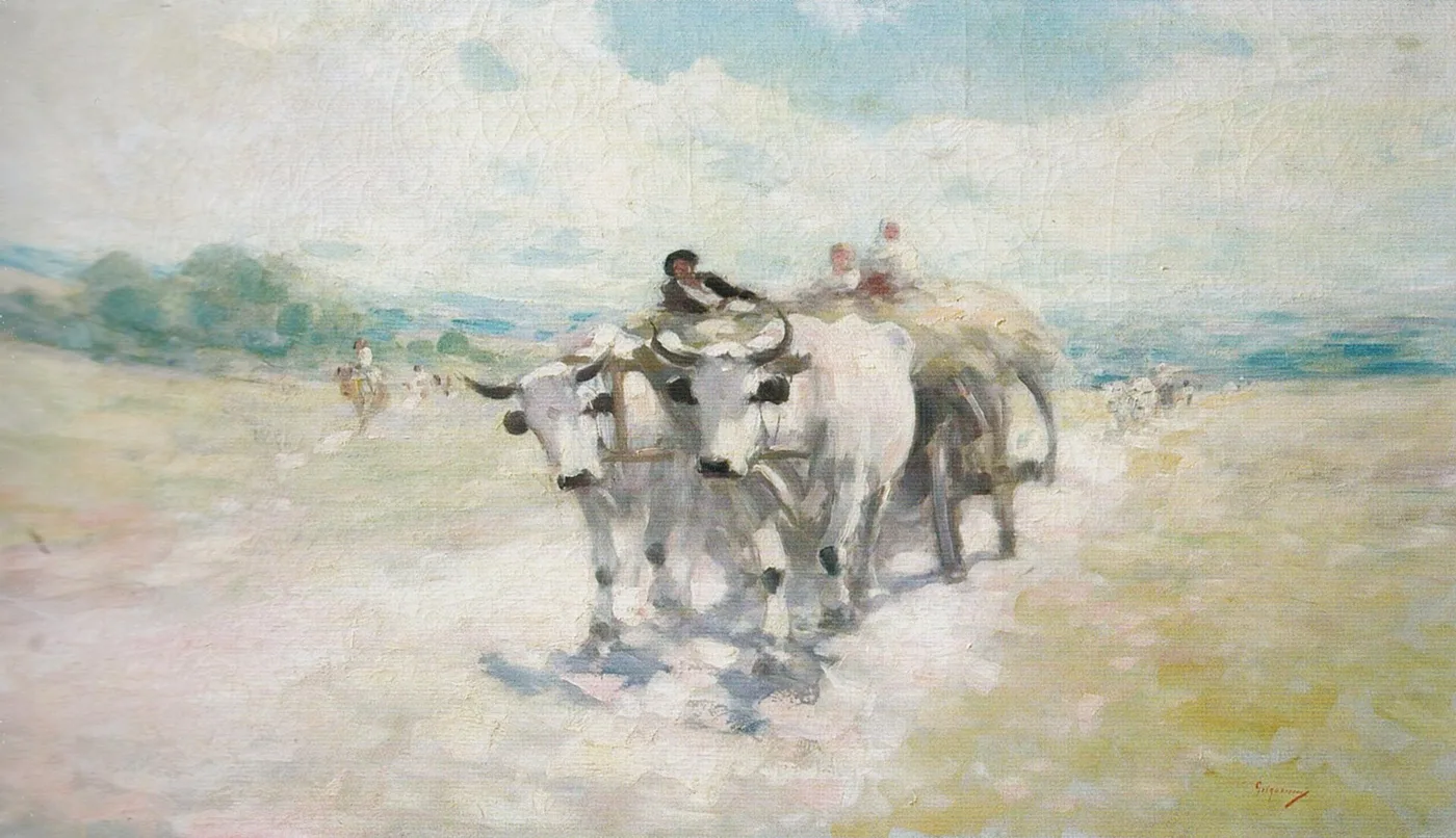
Freight did not travel like that. A barrel of wine or a cart of salt moved at the oxen's pace, waited at a ford when the river was up, paid at the entrance to market towns and, crossing into Transylvania or arriving from across the Danube, could sit for days in quarantine. The difference shows best in rings: pick a town on the map and see how far a post traveller gets in the same days, and how far a loaded cart. And when the map is warped by time, the shape stays almost the same for both, because mountains slow them alike; what changes is the scale: the cart needs about five times as many days.
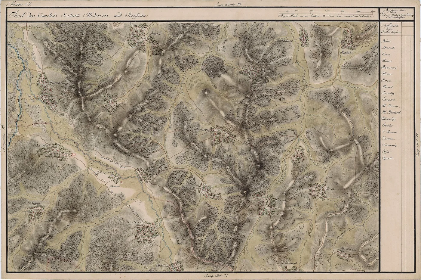
The map is a reconstruction, not a period measurement. It was built from the post roads and salt roads on the Habsburg military surveys and in the printed stage lists, given speeds from the sources where they exist — and stated assumptions where they do not — then set against six dated records from the sources (journeys, stage lists, one interval between dates) between 1805 and 1820; not all of them allow a direct comparison. Where the model gets it wrong, the error stays on the page, with the traveller's name beside it.
The race: the merchant's cart and the post courier, between two towns you choose
Choose a departure and a destination. The courier changes horses at every relay and rides through the night; the cart travels eight hours a day, wets its wheels at every ford and pays customs in the towns on the way. The ledger counts the stops as they happen.
post courierloaded cart
The road ledger
Six ordinary routes from the same model — for reading without the map.
| Route | Today, by car | 1820, by post | 1820, by cart | Road |
|---|---|---|---|---|
| București–Brașov | 3.5 h | 2.9 days | 15–19 days | 197 km |
| București–Iași | 5.2 h | 4.2 days | 21–26 days | 418 km |
| Târgu Ocna–Galați | 2.1 h | 1.6 days | 8–10 days | 170 km |
| Slănic–Giurgiu | 2.4 h | 1.8 days | 9–11 days | 181 km |
| București–Sibiu | 5.1 h | 4.1 days | 21–27 days | 302 km |
| Iași–Timișoara | 12.8 h | 10.0 days | 51–64 days | 761 km |
The test: six dated records, set against the model
A travel-time map of 1820 cannot be checked with GPS. It can be checked against journeys recorded with dates and durations: a stage list printed in 1820, a princely convoy in flight, a French traveller with his expenses noted, a messenger from Constantinople. Here is what comes out — and where the model loses.
- București → Focșani · 1820+13%
- București → Sibiu (Turnu Roșu) · 1805+2%
- București/Băneasa → Brașov · 1818−28%
- Sibiu → Timișoara · 1805 (interval between dates)−82%
Zero in the middle; left = the model is faster than the source, right = slower. The scale stops at 100%.
| Journey | Duration in the source | The model says | Difference |
|---|---|---|---|
| București → Focșani · 1820 | 23 h riding (printed total: 25 h) | 25.9 h | +2.9 h |
| București → Sibiu (Turnu Roșu) · 1805 | 4 days · 13 stations | 4.1 days | +0.1 days |
| București/Băneasa → Brașov · 1818 | 4 days | 2.9 days | -1.1 days |
| Constantinopol → București · 1818 | 3 days (about 600 km) | — (speed mark: about 200 km/day) | — |
| Câlnău → Buzău; Cucul → Râmnic · 1820 | single stages of at most 2 h and of 3 h | 4.7 h (Buzău–Râmnicu Sărat, modelled) | — |
| Sibiu → Timișoara · 1805 | 20 days (interval between dates) | 3.5 days | -16.5 days |
The cleanest test is Louis Allier de Hauteroche's Bucharest–Sibiu road, 13–16 October 1805: four days, 13 post stations, up the Olt valley, with mountain stretches done on horseback. The model, with stages of two to two and a half hours on plain and hill and up to six in the mountains — the intervals reported from Allier's journey — reaches 4.1 days: a tenth of a day from his diary. The fit is made with the same figures the speeds were drawn from, so it is not an independent test: it shows only that, on the best-documented road, they reproduce its duration.
Robert Ker Porter's stage list, printed in 1820 for the Bucharest–Focșani post road, contradicts itself: its nine stages of two to three hours add up to 23 riding hours, but the printed total says 25. The model computed on the same road gives 25.9 hours — closer to the printed total than to the sum of its stages. In the printed list, the sum of the stages differs from its own total; the table keeps both figures and the gap between them.
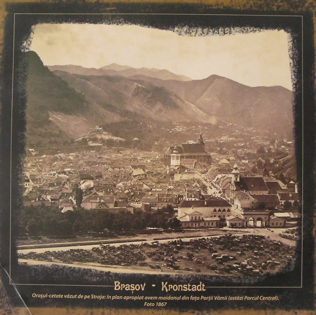
Against two other records the model diverges — and, at least in part, the reason shows. Prince Caradja's convoy, fleeing to Brașov in October 1818 with his family and 400 Albanian guards, took four days on a road the model prices at 2.9 days for a post traveller: a court on the move is not directly comparable to a courier. And between the dates of Allier's Sibiu–Timișoara road (20 October–9 November 1805) twenty days elapsed; the source does not say how many were actually spent travelling, so the difference in the table measures an interval, not a travelling time. The fastest mark remains the messenger who reached Bucharest on 7 October 1818, come in three days from Constantinople — some 600 kilometres, his means of travel unstated in the source.
What a cart actually paid on the road
Internal customs sat "in market towns and towns, at the fairs", as the historian Constantin Șerban lists them for Wallachia: Bucharest, Buzău, Râmnic, Târgoviște, Pitești, Slatina, Câmpina, Târgu Jiu, Craiova, Focșani and more. They were farmed out — in bulk or in groups of points — to merchants who drew the lease and their profit from them, and part of the revenue belonged to monasteries. In Moldavia the system is equally attested, but the town-by-town list is not established; on the map those points are marked differently from the Wallachian ones Șerban names.
How much was charged for a barrel of wine or a cart of salt at each such stop around 1820? No end-to-end bill from those years appears in the page's sources, and the page will not invent one. The eighteenth-century tariff lists ran to hundreds of named goods and, from 1767, the buyer paid the duty — but the per-good figures for wine and salt are not established. For comparison, the sources give a few tariffs and charges from neighbouring situations on the same road:
- Entering the principalities, imported goods paid a 3% duty, and Wilkinson reported in 1820 other arbitrary charges as well, which could amount to as much again. That is about imports, not the tolls between market towns — but it shows what a second demand for money, beside the official duty, could look like.
- The post had its tariff, noted by Feodor Karacsay (1818): 10 parale per horse for every riding hour, at least four horses harnessed, money paid in advance against a podorojna permit; plus 10 parale tip to the postilion and 5 to the station official at every change. The race ledger above reckons with this tariff, formula in the open.
- In 1728 Wallachian salt paid, at the Danube landings between Vidin and Chilia, an Ottoman charge of 3 new aspri per 100 ocale — farmed for 1,000 guruș to Istanbul financiers and cancelled a few months later. It is an export-side charge nearly a century older than the roads on the map; it appears with its sum and year beside it, not as a price of 1820.
- Wine had taxes of its own, separate from customs: the vinărici, the pogonărit and the vădrărit — the last begun in Moldavia under Antioh Cantemir (1705–1707) at 2 bani per vadră and abolished in 1831. Wilkinson lists the "Vinaritt, or tax upon wine" among Wallachia's revenues, in the same breath as the salt: the mines brought, by his account, 600,000, and the wine, sheep, swine and bee taxes together 1,330,000.
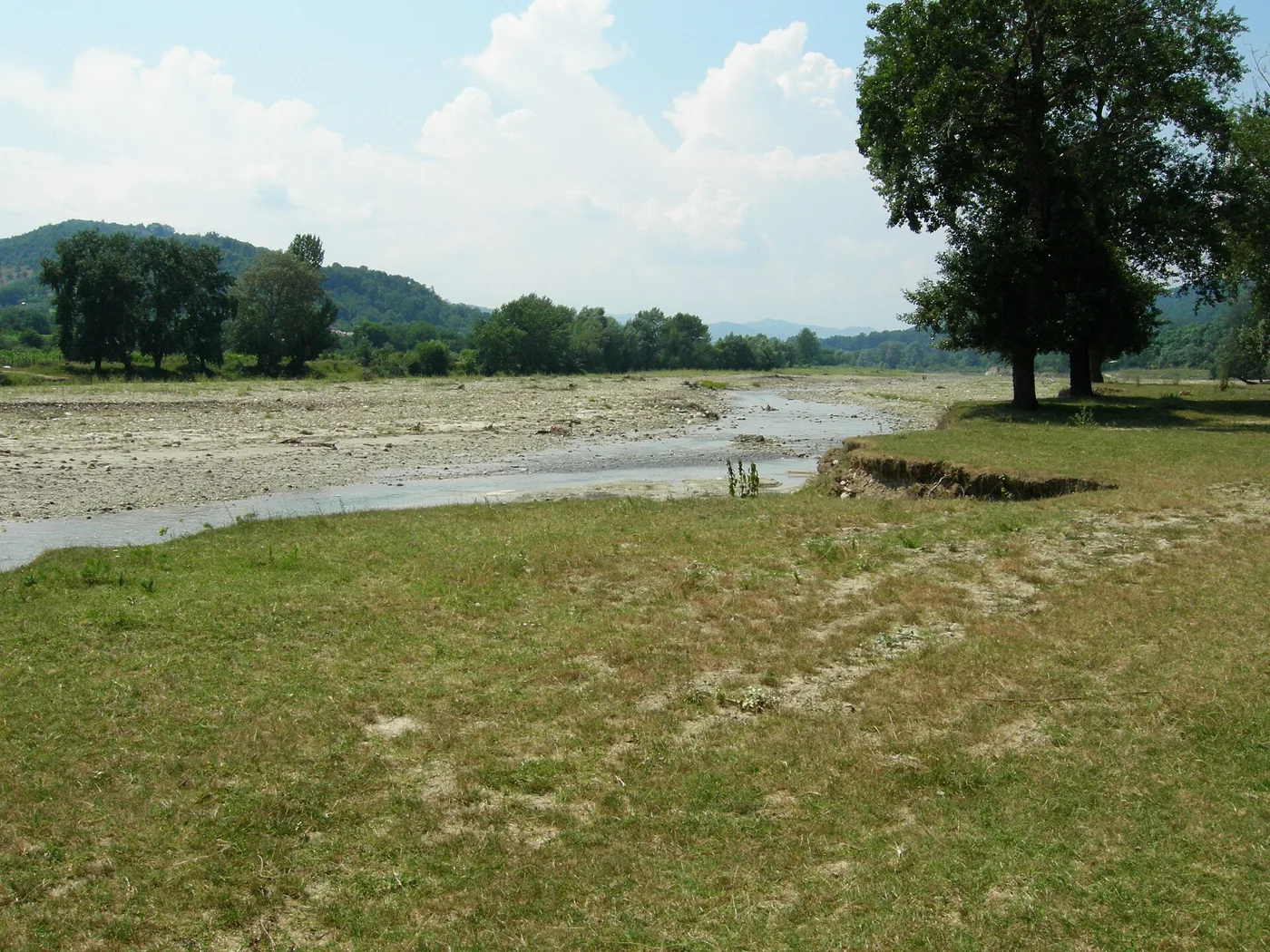
Wallachia's internal customs lasted until the Organic Regulation abolished them; the customs barrier between Moldavia and Wallachia fell later, on 1 January 1848, when the two became one market. Until then, a journey from Odobești towards Bucharest could pass through Focșani and across the customs border between the two countries; what a particular barrel paid there, leaving and entering, no invoice records.
Salt went downhill, wine came out of the hills
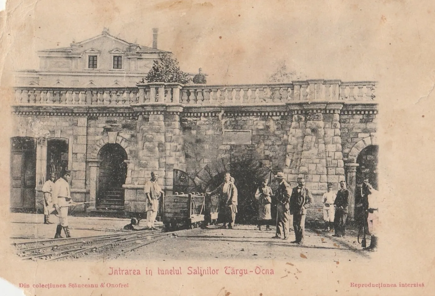
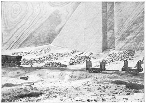
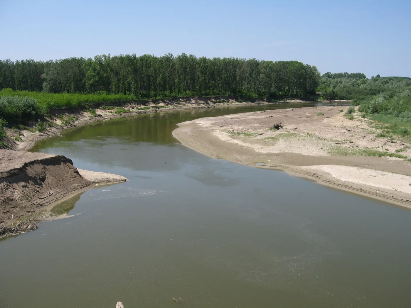
The salt mines were the prince's and salt was a monopoly: Slănic and Telega in Prahova, Ocnele Mari near Râmnic, Târgu Ocna on the Trotuș. From there the carters took it to the Danube landings and the market towns. For the Moldavian road, the historian Dumitru Vitcu reconstructed the Târgu Ocna–Galați route through Onești and the lower Siret, with a variant via Copăcești that saved two hours and avoided two difficult Siret crossings. The carts he studied carried between 500 and 1,000 ocale; on one bad slope near Bacău they needed 12 to 24 draught animals to climb it. In an 1851 proposal, carting eight million ocale to Galați was estimated at 450,000 lei a year, some additional costs excluded — figures from the 1830s–1850s, later than the roads on the map, but from the same world of oxen and fords.
Wine came down from the hills of Odobești, Cotnari and Prahova to the plain towns. No customs bill for it around 1820 came to light, so the page shows its road, not its receipt: in the race above you can load the cart with barrels at Odobești and count the stops to Bucharest or Galați. What is certain is that Brăila and Giurgiu, the two landings through which Wallachian wine and salt would have reached the Danube most easily, did not then belong to Wallachia: they were rayas administered by the Porte, returned to Wallachia by the Treaty of Adrianople in 1829.
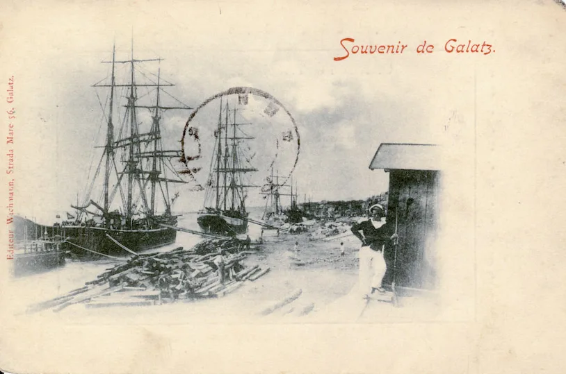
Marseille by sea? The beautiful claim, put to the test
The idea this page started from sounded flawless: in 1820, a barrel of wine carried 150 kilometres across the Carpathians would have cost more in internal customs than shipping it by sea from Galați to Marseille — and taken longer. The documents for it were sought: a toll bill for a named road, a sea freight price from the same years, a timed cart crossing of the mountains. None of them turned up. In that form, the claim cannot be sustained — and the page says so.
What can be shown is less round. In England around 1700, Dan Bogart puts road freight at about 1.2 shillings per ton-mile, and a naturally navigable river at about 0.12 — roughly ten times less (for England, not the Danube; the ratio depends, as he writes, on the period and the kind of waterway, and improved navigations charged more). In 1784 the Trieste exchange directorate argued that certain light, costly goods from the Danube came out ahead on the maritime route through Constantinople — the view of interested merchants, but one that shows which way prices pulled.
And even the sea was no clear road. The ship Clairon et Reine left Constantinople on 13 March 1835, stayed at Smyrna from 24 March to 3 May, reached the Frioul quarantine anchorage on 29 May — 26 days on that leg — and entered Marseille only on 14 July, after quarantine. One ship, with its port call and its quarantine, makes no Galați–Marseille average; but it recalls that the sea had its own fords, made of winds and plagues. The comparison that would overturn this page would be easy to recognise: invoices from the same years, for the same goods, with cartage, river carriage, freight, loading, duties and quarantine set down one under another. Until they appear, the honest conclusion remains the one in the title: on land, people travelled fast; goods, about five times slower.
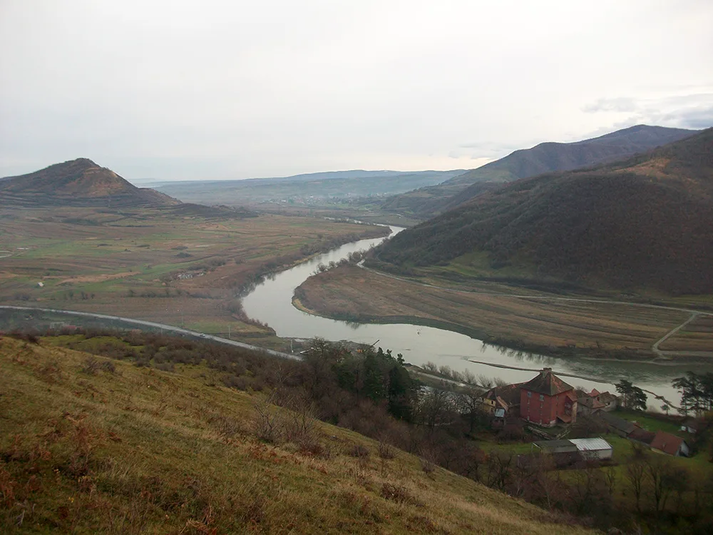
How the map is made
The network has 43 nodes (market towns, salt mines, passes, ports) and 60 stretches, on the attested post roads and salt roads. The period mapping behind it: the Josephinian survey of Transylvania (1769–1773), Specht's survey of Wallachia (September 1790–May 1791, at 1:57,600, in 108 sheets), and the second Habsburg military survey (1806–1869; Transylvania from 1853, Wallachia under Fligely in 1855–1856). Each stretch has its length computed from the towns' coordinates, corrected for winding, a terrain class (plain, hill, mountain), the rivers crossed by ford, and its pass where it has one.
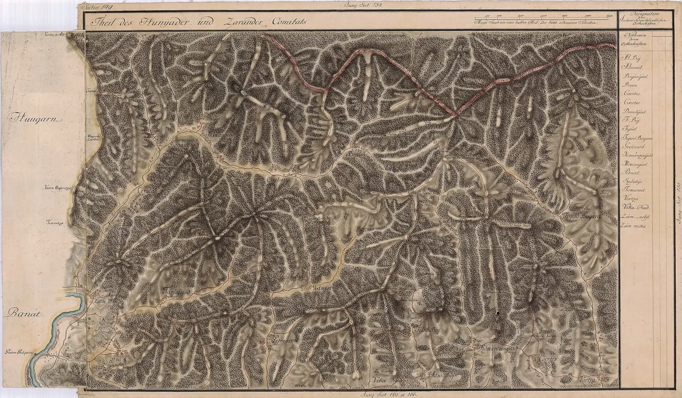
Post speeds (9 km/h on the plain, 6.5 in the hills, 4 in the mountains) are fitted to the stage lists: the plain roads of the 1820 list run at about 9 km/h, and Allier's mountain stages last up to six hours. For the loaded cart the page's sources give no attested speed from 1800–1830; the band used (3/2/1.3 km/h, slow end 2.4/1.6/1 km/h) is a stated assumption, which is why the cart's days are always a range. At every ford the post loses half an hour, the cart two hours. The travel day: 14 hours for the post traveller, 18 for the courier who rides at night, 8 for oxen. The warping moves the towns until the distances between them approach the computed travel times, held gently to their geographic places; the resulting distances miss the modelled times by about 17% on average — a map of time does not fit without remainder into a map of place.
What remains unknown, in short: the internal customs tariff per good around 1820; an attested loaded-cart speed; a measured downstream time to Galați; the point-by-point list of Moldavian internal customs; a Galați–Marseille sailing average. Each gap is entered in the ledger next to the place where its number should have stood.
Test yourself
Four questions, every answer in the text above.
Score: 0/4
2.
By Karacsay's 1818 tariff, what did one post horse cost for an hour's riding?
3.
When did the customs barrier between Moldavia and Wallachia fall?
4.
What emerges from setting the 1820 stage list (Bucharest–Focșani) against the model?
Sources
Period sources and stage lists
- William Wilkinson, An Account of the Principalities of Wallachia and Moldavia (London, 1820) — the post, the 3% import duty, Caradja's flight, the Constantinople messenger. Full text: Project Gutenberg no. 68612.
- Robert Ker Porter, the post stage list Bucharest–Focșani–Iași (1820), reproduced in Ion Scărlătescu's compilation of travellers on the Buzău road — its printed total (25 hours) does not match the sum of its stages (23), as the text shows.
- Feodor Karacsay (1818), the post tariff, via the studies below: 10 parale per horse-hour, at least four horses, tips at each change.
Modern scholarship
- Study of foreign travellers and their means of travel (IDSI, 2021) — Allier de Hauteroche's 1805 journey, stages and expenses.
- Constantin Șerban, "The customs system of Wallachia in the eighteenth century" — the internal customs towns, the farming, abolition at the Organic Regulation.
- Cristian Luca, work on the principalities' eighteenth-century customs system — tariff lists of hundreds of goods; Trieste's 1784 argument for the maritime route.
- Dumitru Vitcu, "The salt roads" — the Târgu Ocna–Galați route, loads of 500–1,000 ocale, the slope near Bacău, the 1851 carting price.
- Andrea Demjén and Florin Gogâltan (2015), Andrea Demjén (2020) — the Transylvanian cordon's quarantine stations and durations.
- Robert L. Tignor et al., Migration and Disease in the Black Sea Region — quarantine at Brăila, 4–16 days in 1831.
- Cristian Constantin — the Ottoman charge on Wallachian salt at the Danube landings, 1728.
- Oana-Mădălina Popescu — the Moldavian vădrărit: 2 bani per vadră (1705–1707), abolished 1831.
- Dan Bogart, The Transport Revolution in Industrializing Britain — road versus river freight in England, around 1700.
- "L'alimentation des marins vers 1830" — the voyage of the Clairon et Reine, Constantinople–Smyrna–Marseille, 1835.
Maps and basemap
- The Josephinian survey of Transylvania, 1769–1773 (Vienna War Archive, sheets on Wikimedia Commons).
- Zsolt Bartos-Elekes, "The Habsburg mapping of Moldavia and Wallachia" (2015) — Specht's survey (1790–1791, 1:57,600, 108 sheets) and the second military survey.
- Relief background, rivers and projection frame: from the sister project Atlas of Romanian history (box 18.5–32° E / 42.3–49.5° N). Related reading: the Milcov border at Focșani and the traces of medieval salt.
Pictures
- A sheet of the Josephinian survey of Transylvania, made betw — Public domain, Wikimedia Commons
- Nicolae Grigorescu, "Ox cart" (dated between 1900 and 1907 i — Public domain, Wikimedia Commons
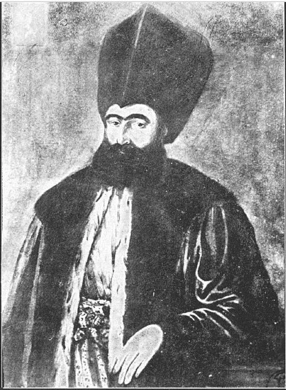
- Dinicu Golescu (1777–1830), author of the Account of My Trav — Public domain, Wikimedia Commons
- The Olt valley at Turnu Roșu today, with the tower that name — Public domain, Wikimedia Commons
- Brașov in 1867. Caradja's convoy reached it in four days fro — CC BY-SA 3.0, Wikimedia Commons
- The entrance to the Târgu Ocna salt mines, on a postcard — Public domain, Wikimedia Commons
- A salt-mine interior at Slănic, old engraving — Public domain, Wikimedia Commons
- "Souvenir de Galatz", a postcard of 1898 — the port the Mold — Public domain, Wikimedia Commons
- The Siret at Mircești today. On the Târgu Ocna–Galați route — CC BY 3.0, Wikimedia Commons
- The Milcov today, the thin river that parted Moldavia from W — Public domain, Wikimedia Commons
- Another sheet of the Josephinian survey of Transylvania — Public domain, Wikimedia Commons


On the race map every point stands on the coordinates of today's place; on the warped opening map the points move with the modelled travel time.