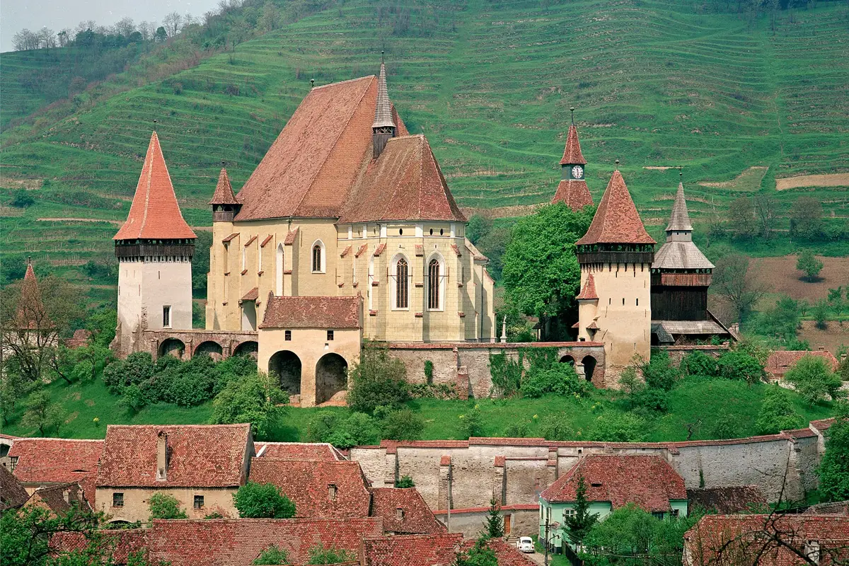
A map of Transylvania's 162 fortified churches includes the seven UNESCO villages, heritage class, published opening hours, keyholder contact and damaged buildings.
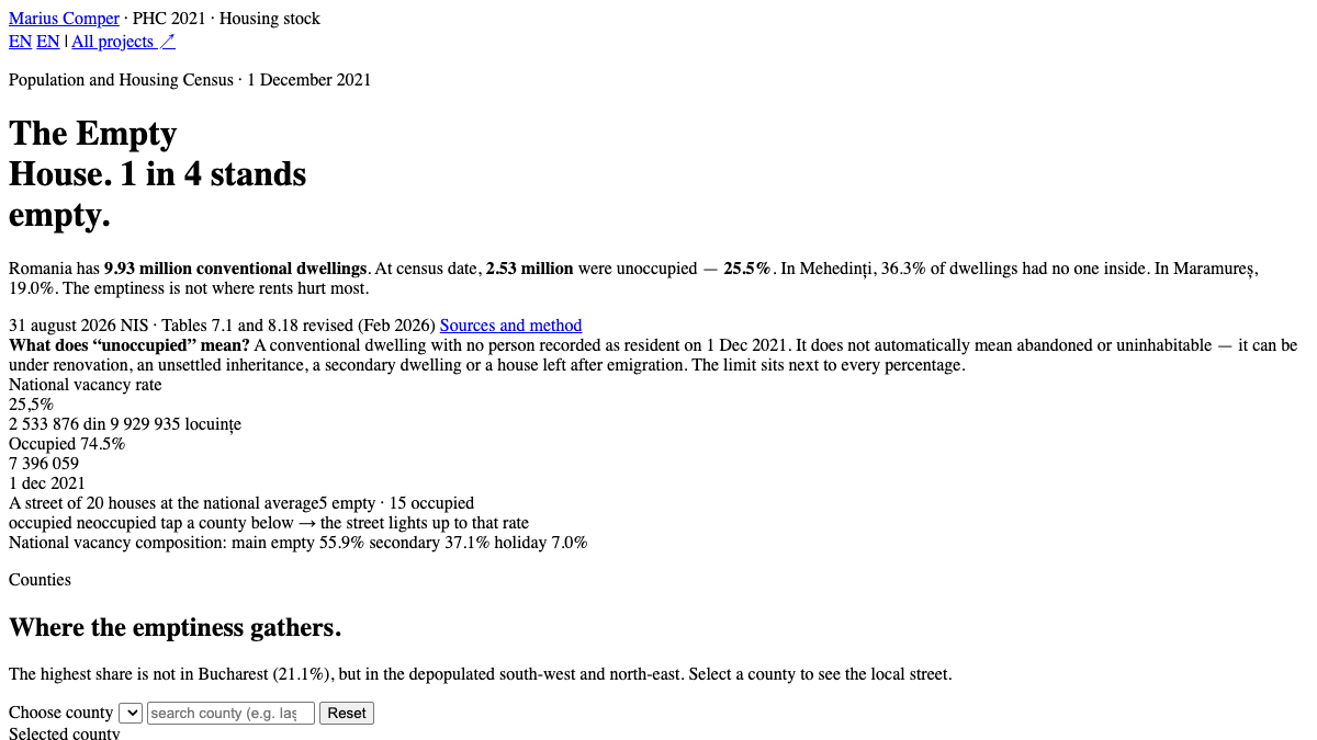
The 2021 Census counts 2.53 million unoccupied dwellings — 25.5% of the housing stock. In Mehedinți 36.3% are empty. County map, breakdown and why the rural empty stock does not solve city rents.
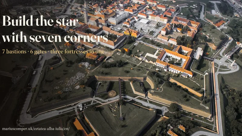
From a plane, Alba Iulia is a seven-pointed star: 7 named bastions, 6 gates, 12 kilometres of walls over the Roman camp and the medieval fortress. Build the star bastion by bastion, in schematic 3D, and learn why the straight wall died, who counted 20,000 labourers with no ledger, and why Gate VII is no gate.
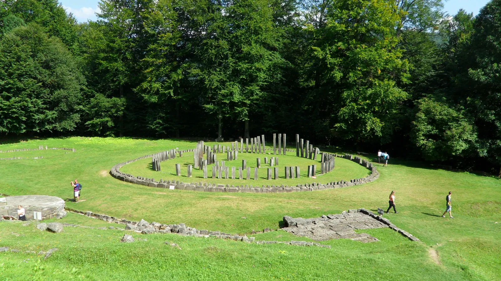
A map of the six Dacian fortresses in the Orăștie Mountains shows road and walking access, elevation gain, time needed, opening hours, tickets and each site's condition.
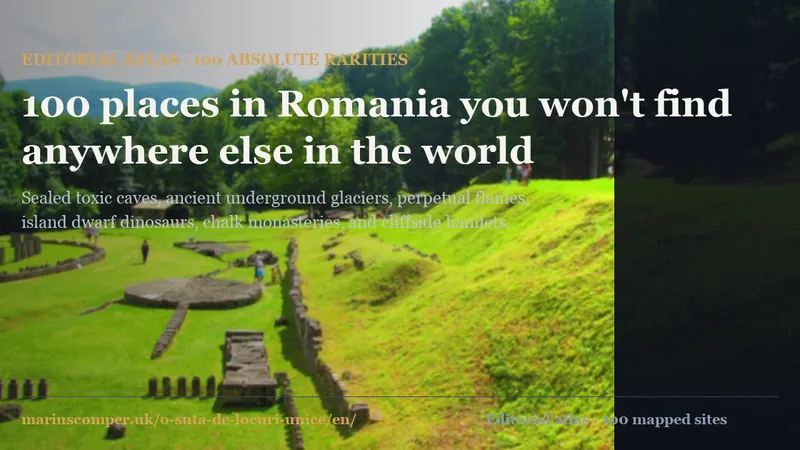
An interactive bilingual atlas of 100 singular places, natural anomalies, ice caves, archaic relics, and unique engineering in Romania with map and documented cards.
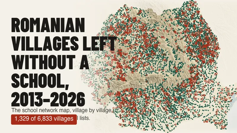
Of 6,833 villages with a school on the Ministry of Education's 2013–14 list, 1,329 have none in 2025–26. A map of every village over 13 years, and why the official count of rural schools (−76%) does not mean as many schools closed.
The median age of each of Romania’s 3,181 localities, computed from the registered population by single year of age (INS, POP107D), on a map with every real boundary. Search your locality, see how old it is against the country and the county, its age fingerprint in one hundred squares, its pyramid by sex and its path from 1992 to 2026. In 528 localities there are now more registered people aged 80 or over than children under 10; in 1992 there were 9.