Choose a Bucharest address and see what the records show about noise, surface temperature, air, greenery and local history. Each result keeps its own period and geographic scale.
What do the records say about this place?
Search for a Bucharest street and number. Some results refer to the mapped address point; others describe the whole street. They stay separate, with their own period and method.
Search uses the OpenStreetMap address index and data published on this site. The address is looked up in your browser; it is not sent to a geocoding service or saved. Source-project links do not carry the address. You can include it in a link to this page only by choosing Share.
Find an address
Try an example checked in the index:
The source projects below do not yet accept an address in their links. Copy it before opening a map so you can search there.
Open the projects and sources
Each map keeps its own question and data scale. These results are not combined into a shared score.
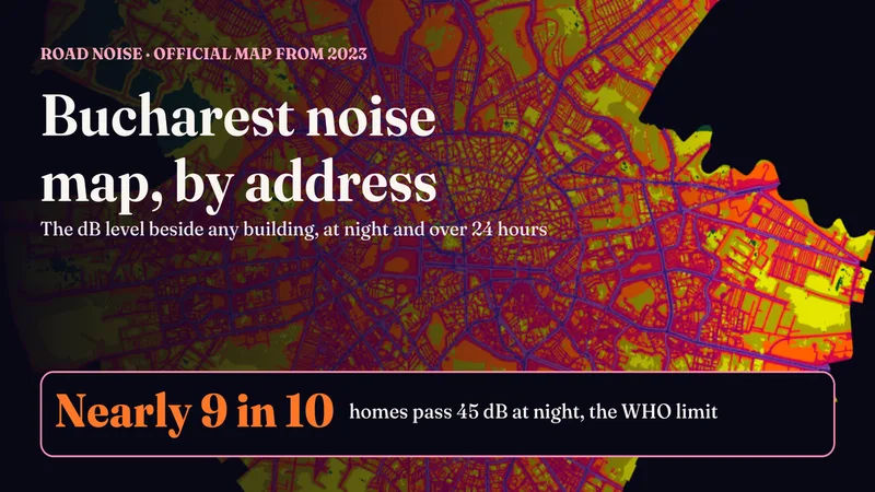
The City's official noise maps existed only as PDF images. Type a street and number to see the modelled level around the building, at night and as a 24-hour average, against the WHO limit of 45 dB. Nearly 9 in 10 homes exceed it at night.
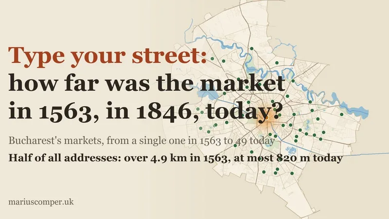
Type your street and see the nearest market in 1563, c. 1708, 1846, c. 1900, 1938 and today: from the bazaar by the Princely Court to today's 49 markets. Plus the Outer Fair that kept running from the city, the lost halls and Obor.
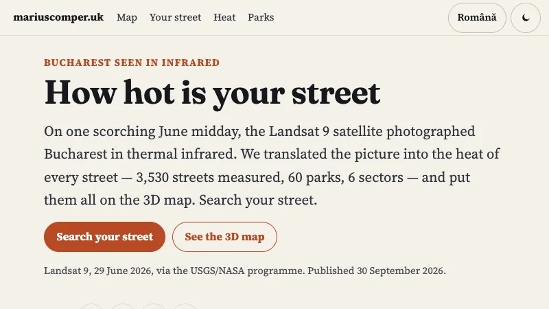
Type a Bucharest street and see how hot the satellite saw it at midday, in 3D: 3,532 streets measured from Landsat 9, 60 parks and 6 sectors, each street with its own mean.
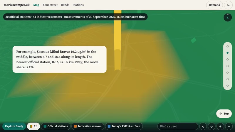
A snapshot of PM2.5 on Bucharest streets on 30 September 2026 at 16:30. Distinguishes station readings from model estimates; it does not show current air quality.
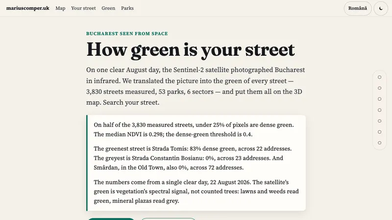
Type a Bucharest street and see how much green the satellite saw around it, in 3D: 3,830 streets measured from Sentinel-2, 53 parks and 6 sectors, each street with its own share.
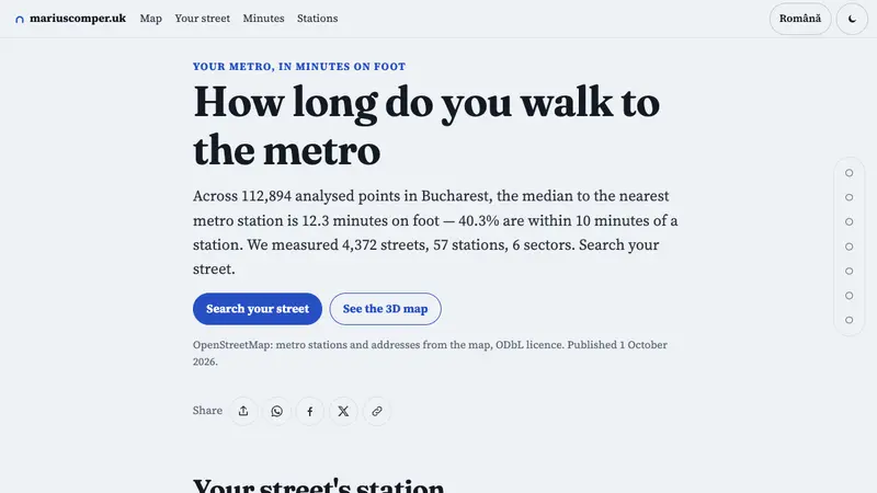
Search for a Bucharest street and see the straight-line distance to the nearest mapped metro station node. The map includes 57 stations; it does not calculate walking routes or distances to station entrances.