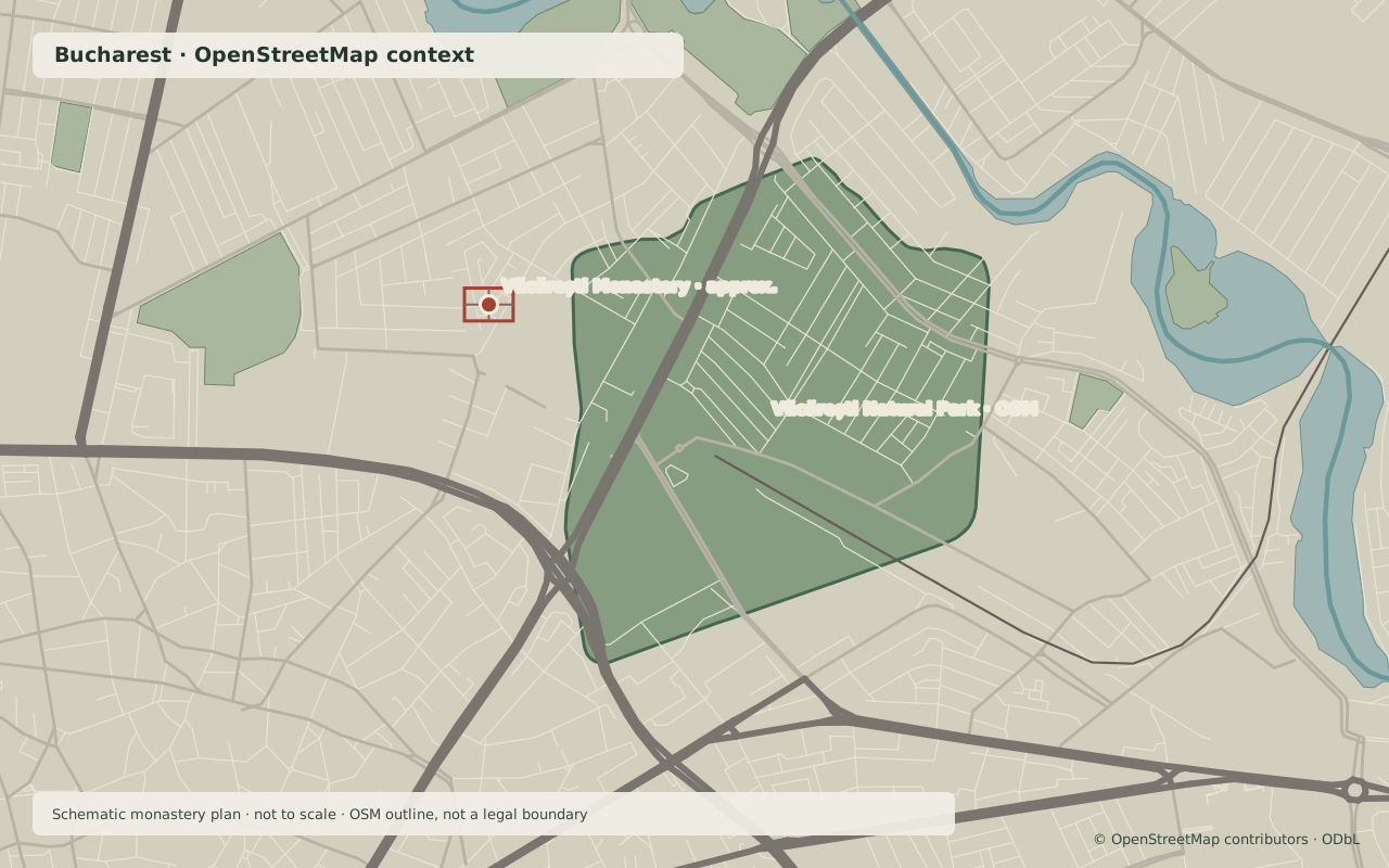
Văcărești Monastery · approximate siteVăcărești Natural Park · OSM outline
1723/24MAP · BUCHAREST
Schematic plan shown · not to scale.
Bucharest · south-east · one place, five moments
Văcărești Monastery, on the same map
A princely foundation became a prison, then a demolition site. The abandoned basin and wetland that followed were later protected as a natural park.
Scroll through the chapters. Or press “Play the years” to follow the same location through five dates.
The pin is approximate and the plan schematic; the green outline is present-day OSM geometry.
02 · A change of institution
A prison from 1865
Political detainees were briefly held here in 1861. In 1865, the monastery became Bucharest’s city prison; the capital’s dungeon was moved to Văcărești that year.
The buildings remained in prison use until the site was cleared in 1973. The schematic plan marks the ensemble’s site, not the prison’s internal layout.
On 2 December 1984, Nicolae and Elena Ceaușescu visited the site and ordered plans for a new courthouse. Demolition of ancillary buildings began on 12 December.
The main church was demolished in December 1986. The last remains were cleared in January 1987, according to the retrospective account cited here.
After the demolition, the site was excavated for the Văcărești reservoir. The explanatory note to Government Decision 349/2016 says the project was abandoned after technical errors and the fall of the communist regime.
The 1986–1989 dates and the claim that the basin never filled come from one retrospective account; this remains a claim attributed to one retrospective account. The sources consulted do not establish a historical basin boundary.
Government Decision 349/2016 declared the natural area “Acumulare Văcărești” a natural park. The decision was adopted on 11 May and published on 13 May 2016.
The official explanatory note lists 186.0403 hectares: 180.3462 ha of public land and 5.6941 ha of private land. The map outline is present-day OpenStreetMap geometry, not the legal boundary in the decision.
The monastery pin uses the approximate location shown on the UAUIM survey archive map. The sources consulted here do not include a georeferenced plan of the whole enclosure. The overlay is an editorial schematic: it suggests an enclosure with a church and buildings around a courtyard, but it does not reproduce measured dimensions or exact placements.
The 1908 survey drawings by Constantin Iotzu and Alexandru Zagoritz document the church and chapel; they do not provide a georeference for the entire complex here. Panaitescu gives the site area as 18,000 m².
The basemap uses OpenStreetMap roads, railways, water and green spaces in a simplified local projection. The park outline is OSM way 88105780, tagged with CORINE Land Cover 2006 as its source. We do not use it as a legal boundary. No elevation has been exaggerated or invented.
Static map fallback · OpenStreetMap · the enclosure diagram is not to scale.
Timeline
Consecration of the Holy Trinity church; the ensemble was completed by 1739.
Temporary political detainees in 1861; the city prison from 1865.
Demolition decision and first works in 1984; the main church falls in 1986, the last remains in 1987.
The Văcărești reservoir project is abandoned; the “unfilled basin” detail remains attributed to one retrospective account.
GD 349/2016 declares a natural park; the explanatory note lists 186.0403 ha.
OrtodoxINFO, “Ianuarie 1987, demolarea Mănăstirii Văcărești”, a retrospective account preserved in the Internet Archive. Used only for its January 1987 remains date and attributed reservoir claim.
What we left out
We omit unsupported regional scale language and dates or area figures that conflict with the stronger sources in this file. Demolition photographs are omitted because reproduction rights were not established.