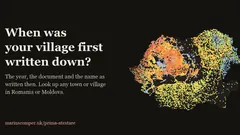
When was Chirpăr first mentioned in writing?
1332
The oldest surviving written mention of Chirpăr dates from 1332, 694 years ago.
Older than 84% of the 5,588 localities with a firm first mention.
Source: Wikidata (CC0), Suciu (1967–68), Documenta Romaniae Historica, Wikipedia; the date is the one the project picks
Where was Chirpăr 100 million years ago?
25°–30° N
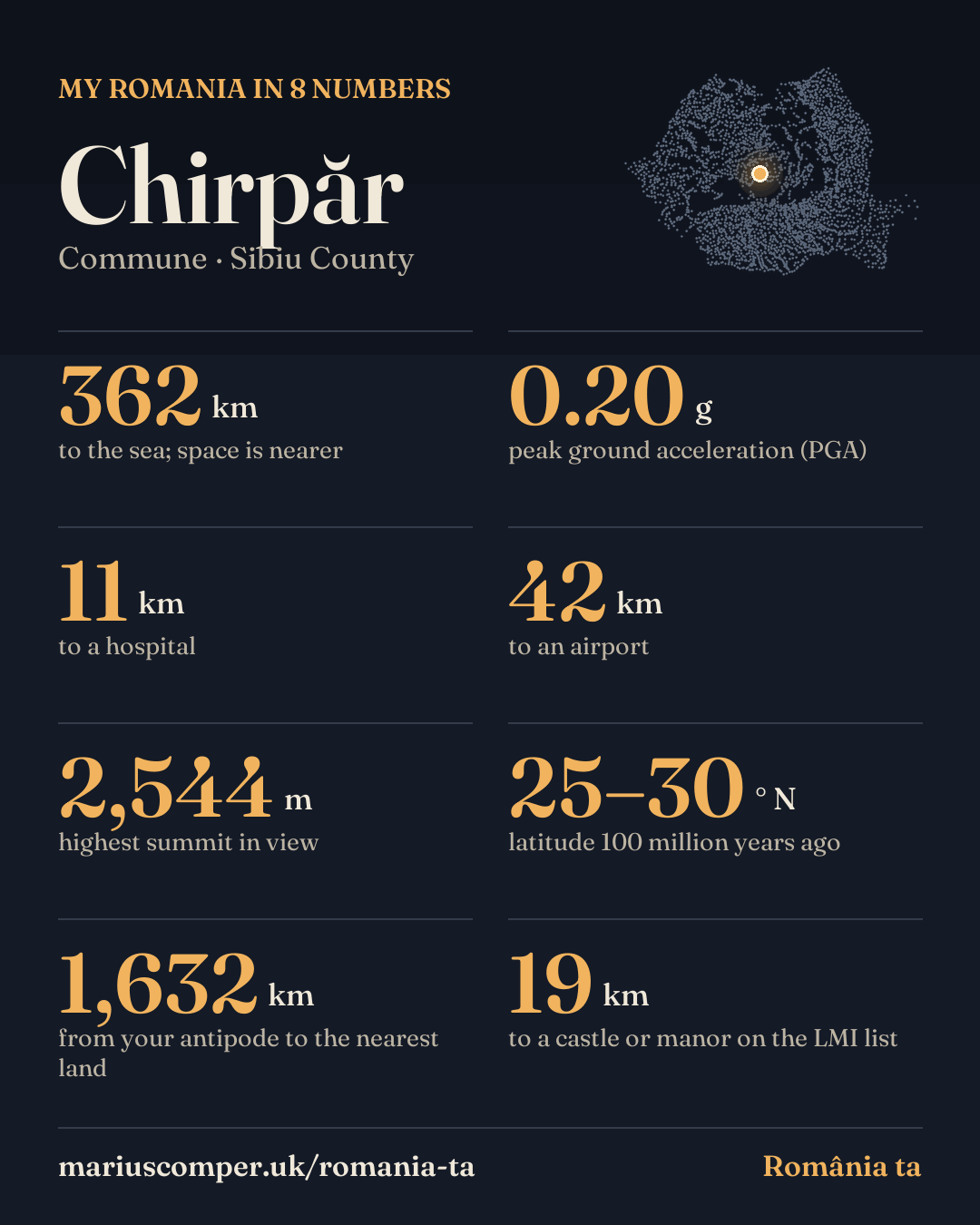
In the Cretaceous, when dinosaurs still walked the Earth, the ground under Chirpăr lay at 25°–30° north, depending on the plate-tectonic model (the project compares three). Today it is at 45.9° N. It has moved 1,965–2,315 km since.
The latitude band then; today at 45.9° N.
Source: Plate models Müller 2019, Merdith 2021 and PALEOMAP; GeoNames localities (CC BY 4.0)
3Mountains on the horizon
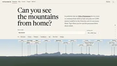
Which mountains can you see from Chirpăr?
2,544 m
The highest summit in view from Chirpăr is Moldoveanu, 2,544 m high and 35 km away. In all, 13 summits above 1,000 m are in view, 11 of them above 2,000 m.
Against Moldoveanu, Romania's highest summit (2,544 m).
The calculation takes the terrain, the curvature of the Earth and the bending of light into account, out to 450 km, from 30 m above the ground (the roof of a ten-storey block).
Source: Terrain from Mapzen/AWS Terrain Tiles, summits from OpenStreetMap; the calculation is the project's
How far is the sea from Chirpăr?
362 km
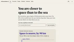
The sea is 362 km away in a straight line. Space begins 100 km straight up (the Kármán line), so from Chirpăr space is nearer than the sea.
66% of Romanians live within 362 km of the sea.
The distance starts from a point inside the commune or town.
Source: Natural Earth (public domain), GHSL 2025 population (JRC, CC BY 4.0)
Where do you come out if you dig a tunnel through the Earth from Chirpăr?
1,632 km
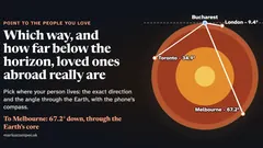
Dig a straight tunnel through the centre of the Earth from Chirpăr and after about 12,740 km you come out in the South Pacific Ocean, at 45.9° S, 155.4° W. The nearest land from there is 1,632 km away: the Chatham Islands (New Zealand).
The tunnel passes through no other town: below you there is only rock, then the Earth's core.
Source: Natural Earth (public domain); ellipsoid geometry as in the project
What peak ground acceleration does RTC 18-2026 list for Chirpăr?
0.20 g
For the conventional scenario with a 10% probability of exceedance in 50 years, Table A.1 of RTC 18-2026, MDLPA's methodology for drawing up seismic-risk maps (in force from 11 October 2026), lists a peak ground acceleration (PGA) of 0.20 g for Chirpăr. This value describes seismic hazard at locality level; it does not assess the risk or safety of any particular building.
60% of Romanians live in localities where the table gives a higher PGA value; 13% live in localities with the same value.
Source: MDLPA Order 1,037/2026, RTC 18-2026, Annex A, Table A.1 (Official Gazette 771 bis, 11 Sep 2026)
7Castles and manor houses
What is the nearest castle or manor house to Chirpăr?
19 km
The nearest noble residence on Romania's List of Historic Monuments is Castelul Brukenthal din Sâmbăta de Jos, in Sâmbăta de Jos, 19 km away (sec. XVIII - XIX). Within 25 km there are 2 residences; within 50 km there are 14 residences.
A conac is the manor house of a boyar or noble, a castle is fortified; a culă is an Oltenian tower house.
Source: List of Historic Monuments (National Heritage Institute), processed by the Castele project
What is the nearest hospital to Chirpăr?
11 km
The nearest hospital with inpatient beds is in Agnita (48 beds), 11 km away in a straight line between the localities' centres. 73% of Romanians live closer to a hospital.
73% of Romanians live closer to a hospital.
A straight line is not the road.
Source: INS: hospital beds (SAN102C, 2024) and population (POP107D, 2023); the calculation is the project's
What is the nearest airport to Chirpăr?
42 km
The nearest of the 17 airports with passenger traffic is Sibiu, 42 km away in a straight line. 694,805 passengers passed through it in 2025, 6th among the country's airports.
52% of Romanians live closer to an airport.
Passengers are counted on landing and on take-off.
Source: Romanian Airports Association (2025 statistics), OurAirports (public domain); INS 2021 census population