România ta
Any place in Romania in nine numbers: from the distance to the sea to where the ground lay 100 million years ago
Type the name of a commune, town or village. You get nine numbers, each from a different project on this site with a link to it, and a picture you can send on.
What you get, and from which project
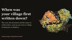 First written mention of Romanian villages and townsThe year the locality's name first appears in a document.Open the project — First written mention of Romanian villages and towns, opens in a new tab
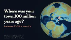 Where was your town 100 million years ago?The latitude where the ground lay 100 million years ago, under three plate-tectonic models.Open the project — Where was your town 100 million years ago?, opens in a new tab
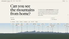 Which mountains you can see from your townThe highest summit on the horizon, computed from the terrain.Open the project — Which mountains you can see from your town, opens in a new tab
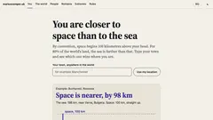 How far are you from the sea? The coast vs spaceThe distance to the sea, and whether space, 100 km straight up, is nearer.Open the project — How far are you from the sea? The coast vs space, opens in a new tab
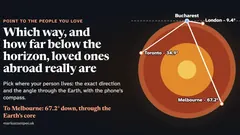 Which way, and how far below the horizon, loved ones abroad really areWhere you come out if you dig straight through the Earth, and how far the nearest land is.Open the project — Which way, and how far below the horizon, loved ones abroad really are, opens in a new tab
 How strong? Where your town stands in an earthquakeThe peak ground acceleration in RTC 18-2026, compared with the values for other localities.Open the project — How strong? Where your town stands in an earthquake, opens in a new tab
 The castle stops at the Carpathians. The conac does not.The nearest noble residence on Romania's List of Historic Monuments.Open the project — The castle stops at the Carpathians. The conac does not., opens in a new tab
 When distance to the hospital starts to matterThe nearest hospital with inpatient beds and how many Romanians live closer.Open the project — When distance to the hospital starts to matter, opens in a new tab
 How many airports does Romania have? Map of all 17The nearest airport, its 2025 passengers and how many Romanians live closer.Open the project — How many airports does Romania have? Map of all 17, opens in a new tab
Questions
What does the page cover?
For each of the 3,181 communes and towns: the distance to the sea, the peak ground acceleration (PGA) in the RTC 18-2026 methodology for seismic-risk maps, the highest summit in view, the nearest hospital, airport and castle or manor house, the first written mention, where the ground lay 100 million years ago, and the point on the opposite side of the Earth.
Can I look up a village?
Yes. If you type a village, the page of the commune it belongs to opens, and the numbers are the commune's. For the village's own first mention, the page shows its date when there is one.
Where do the numbers come from?
Each comes from a project on this site, with its public sources: the National Institute of Statistics, Natural Earth, GeoNames, OpenStreetMap, Wikidata, Romania's List of Historic Monuments and RTC 18-2026, the methodology for drawing up seismic-risk maps. Under each number sit the source and the link to the project.
Why is a number sometimes missing?
When the source has no firm value for your place, the card says so. Nothing is filled in from guesses.
Sources and limits
- The unit is the commune or town (3,181 in all). A commune is Romania's basic unit of local government: a seat village and usually a few others. Distances start from a central point of the unit; in a big town a neighbourhood can be a few kilometres from that point.
- A village gets its commune's numbers. The first mention and the place 100 million years ago refer to the commune's seat village.
- “Of Romanians” shares use the 2021 census (the hospital card uses the 2023 population of that project), so they match the project pages.
- Each project has its full method. A missing number means the source has no firm value for that place; nothing was filled in.