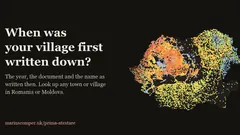
When was Măguri-Răcătău first mentioned in writing?
1956
The oldest surviving written mention of Măguri-Răcătău dates from 1956, 70 years ago.
Older than under 1% of the 5,588 localities with a firm first mention.
Source: Wikidata (CC0), Suciu (1967–68), Documenta Romaniae Historica, Wikipedia; the date is the one the project picks
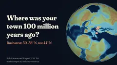
Where was Măguri-Răcătău 100 million years ago?
26°–32° N
In the Cretaceous, when dinosaurs still walked the Earth, the ground under Măguri-Răcătău lay at 26°–32° north, depending on the plate-tectonic model (the project compares three). Today it is at 46.6° N. It has moved 1,914–2,297 km since.
The latitude band then; today at 46.6° N.
Source: Plate models Müller 2019, Merdith 2021 and PALEOMAP; GeoNames localities (CC BY 4.0)
3Mountains on the horizon
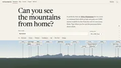
Which mountains can you see from Măguri-Răcătău?
0
No summit above 1,000 m is in view from Măguri-Răcătău in the project's calculation.
The calculation takes the terrain, the curvature of the Earth and the bending of light into account, out to 450 km, from 30 m above the ground (the roof of a ten-storey block).
Source: Terrain from Mapzen/AWS Terrain Tiles, summits from OpenStreetMap; the calculation is the project's
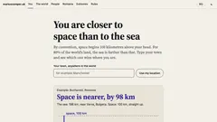
How far is the sea from Măguri-Răcătău?
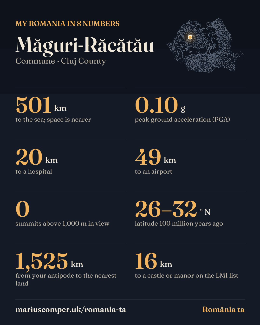
501 km
The sea is 501 km away in a straight line. Space begins 100 km straight up (the Kármán line), so from Măguri-Răcătău space is nearer than the sea.
92% of Romanians live within 501 km of the sea.
The distance starts from a point inside the commune or town.
Source: Natural Earth (public domain), GHSL 2025 population (JRC, CC BY 4.0)
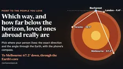
Where do you come out if you dig a tunnel through the Earth from Măguri-Răcătău?
1,525 km
Dig a straight tunnel through the centre of the Earth from Măguri-Răcătău and after about 12,740 km you come out in the South Pacific Ocean, at 46.6° S, 156.8° W. The nearest land from there is 1,525 km away: the Chatham Islands (New Zealand).
The tunnel passes through no other town: below you there is only rock, then the Earth's core.
Source: Natural Earth (public domain); ellipsoid geometry as in the project
What peak ground acceleration does RTC 18-2026 list for Măguri-Răcătău?
0.10 g
For the conventional scenario with a 10% probability of exceedance in 50 years, Table A.1 of RTC 18-2026, MDLPA's methodology for drawing up seismic-risk maps (in force from 11 October 2026), lists a peak ground acceleration (PGA) of 0.10 g for Măguri-Răcătău. This value describes seismic hazard at locality level; it does not assess the risk or safety of any particular building.
91% of Romanians live in localities where the table gives a higher PGA value; 9% live in localities with the same value.
Source: MDLPA Order 1,037/2026, RTC 18-2026, Annex A, Table A.1 (Official Gazette 771 bis, 11 Sep 2026)
7Castles and manor houses
What is the nearest castle or manor house to Măguri-Răcătău?
16 km
The nearest noble residence on Romania's List of Historic Monuments is Conacul Kornis, in Mănăstireni, 16 km away (sec. XIX). Within 25 km there are 5 residences; within 50 km there are 23 residences.
A conac is the manor house of a boyar or noble, a castle is fortified; a culă is an Oltenian tower house.
Source: List of Historic Monuments (National Heritage Institute), processed by the Castele project
What is the nearest hospital to Măguri-Răcătău?
20 km
The nearest hospital with inpatient beds is in Câmpeni (210 beds), 20 km away in a straight line between the localities' centres. 92% of Romanians live closer to a hospital.
92% of Romanians live closer to a hospital.
A straight line is not the road.
Source: INS: hospital beds (SAN102C, 2024) and population (POP107D, 2023); the calculation is the project's
What is the nearest airport to Măguri-Răcătău?
49 km
The nearest of the 17 airports with passenger traffic is Avram Iancu (Cluj-Napoca), 49 km away in a straight line. 3,582,134 passengers passed through it in 2025, 2nd among the country's airports.
58% of Romanians live closer to an airport.
Passengers are counted on landing and on take-off.
Source: Romanian Airports Association (2025 statistics), OurAirports (public domain); INS 2021 census population