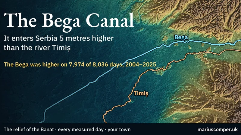
Where the two rivers enter Serbia, 17 km apart, the Bega’s water was higher than that of the Timiș on 7,974 of 8,036 days, 2004–2025, usually by 5.0 m. The relief of the Banat plain in western Romania, a section across it, and any town against the canal’s water. In Romanian and English.
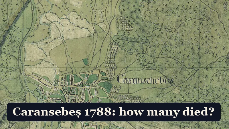
On the night of 20–21 September 1788, Emperor Joseph II's army fired on its own soldiers on the march to Caransebeș, in the Banat (now western Romania). Reports from the following days confirm the panic; four death tolls circulate, and none counts the night's dead. The page shows what each one actually counts.
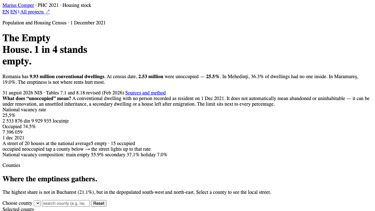
The 2021 Census counts 2.53 million unoccupied dwellings — 25.5% of the housing stock. In Mehedinți 36.3% are empty. County map, breakdown and why the rural empty stock does not solve city rents.
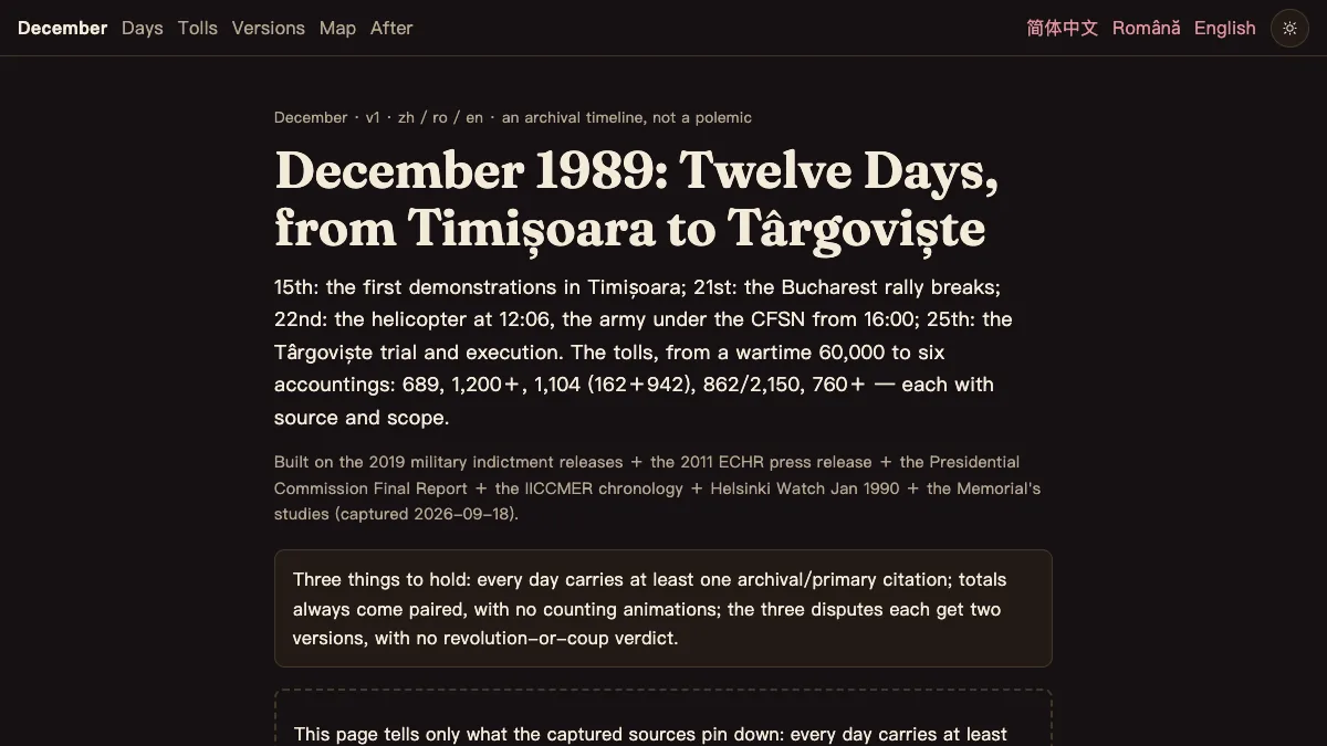
15 December: the parish vigil in Timișoara; 25 December: the firing squad in the Târgoviște barracks. Twelve days, each with an archival citation. Six death tolls side by side, three episodes in two versions, Romania only.
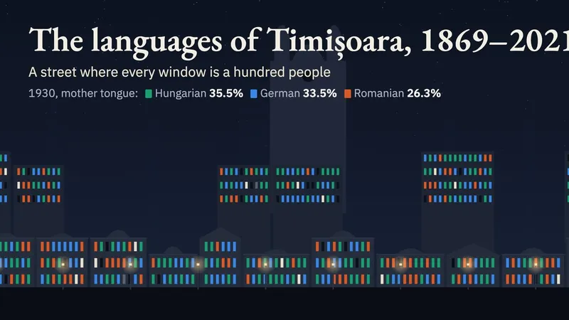
Timișoara, in western Romania, as a street at night, one lit window for every hundred residents. Ask the city its mother tongue, nationality and faith and the same windows answer differently; in 1910 its 6,728 Jews appear only when language is set beside religion. Every census from 1869 to 2021. In Romanian and English.
The fastest Bucharest–Timișoara train takes ten hours and fifty minutes. In 1977, over those same 533 kilometres, it took seven and a half hours; in the 1939 timetable, nine hours and seventeen minutes over a longer route.
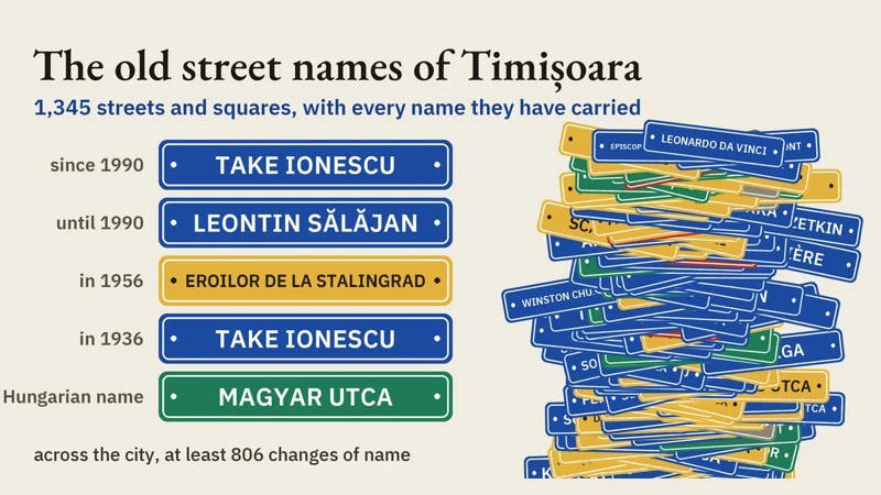
Bulevardul Take Ionescu was Magyar utca, then Heroes of Stalingrad, then Leontin Sălăjan. Every recorded name of the 1,345 streets of Timișoara, a city in western Romania, from the Hungarian names of before 1919 to now, searchable by street.
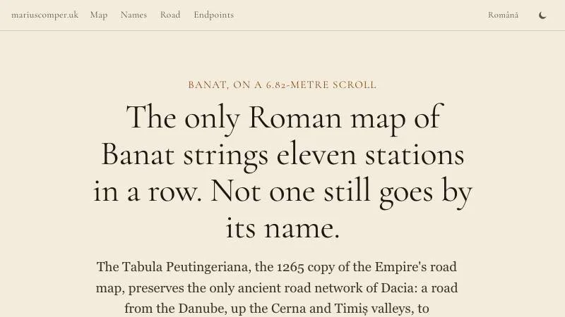
The Tabula Peutingeriana, the 1265 copy of the Empire's road map, preserves the only ancient road network of Dacia. Eleven names from the Danube to Sarmizegetusa, taken one by one: none survived untouched.
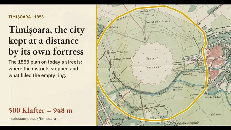
Until 1868 building was forbidden within 500 Klafter (948 m) of the fortifications of Timișoara, in western Romania. The city plan of 1853 and the star-shaped fortress of 1788, laid on today’s streets, show the circle: the suburbs of the time stop at it, the old parks round the centre lie inside it, and Fortress Boulevard still runs along its edge. For any street the page gives its distance from the wall and what was drawn there in 1853.
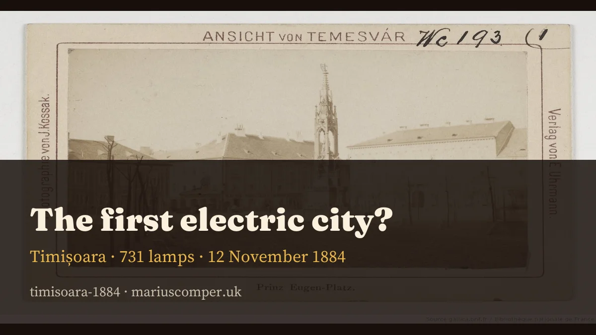
731 incandescent lamps, 59 kilometres of cable and the Brush company of Vienna: the night of 12 November 1884 and the asterisk on “Europe's first electric city”.
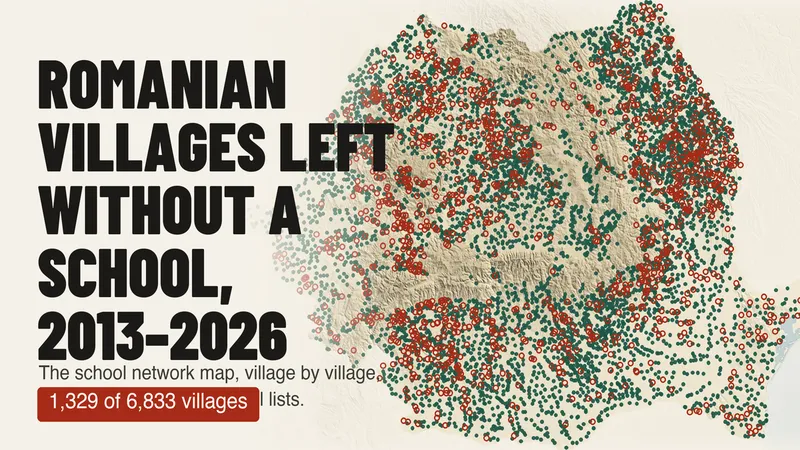
Of 6,833 villages with a school on the Ministry of Education's 2013–14 list, 1,329 have none in 2025–26. A map of every village over 13 years, and why the official count of rural schools (−76%) does not mean as many schools closed.
The median age of each of Romania’s 3,181 localities, computed from the registered population by single year of age (INS, POP107D), on a map with every real boundary. Search your locality, see how old it is against the country and the county, its age fingerprint in one hundred squares, its pyramid by sex and its path from 1992 to 2026. In 528 localities there are now more registered people aged 80 or over than children under 10; in 1992 there were 9.