Choose one of the nine facts and open its source explanation.
Which value surprises you, and what exactly does it measure?
3,181 communes and towns, plus about 14,000 villages. For a village, the main values describe its commune; missing source values remain marked as missing.
Follow tropical-night counts through the years and check the data resolution.
How do the years differ, and what variation can this grid show?
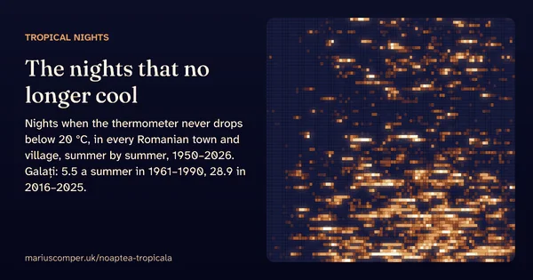
3,181 localities; counts come from a weather grid about 11 × 8 km, not a thermometer in the locality. A tropical night has a minimum of at least 20°C; summer 2026 is provisional.
See which peaks could appear in the panorama and change the model’s air clarity.
What changes when the air is less clear?
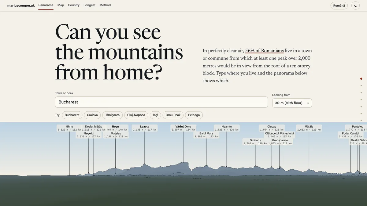
Romanian localities and viewpoints; visibility is calculated from terrain and the selected air-clarity setting. The model does not check weather, buildings or real obstacles.
Look at canopy height and the distance between the locality and the available measurements.
Do the measurements describe the forest you know or one farther away?
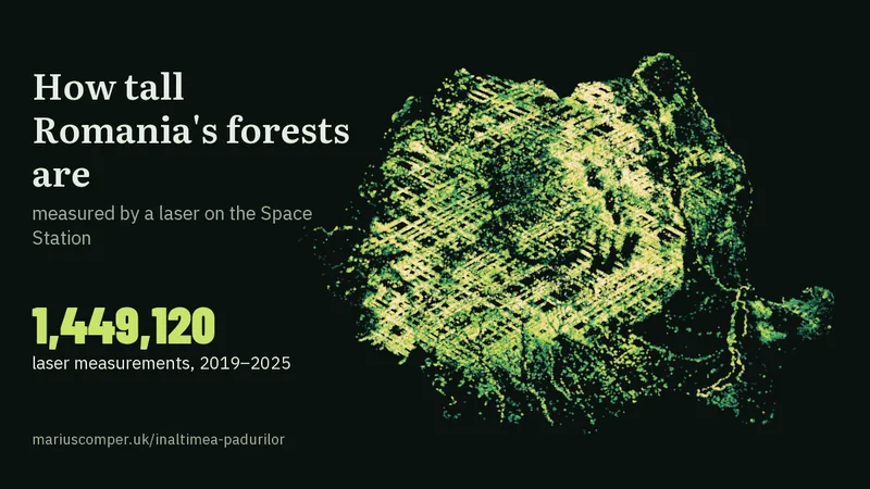
Romania; GEDI measurements from 2019–2025. The locality value uses dense forest within 5 km and slopes of 15° or less; with too few readings, the page reports the nearest well-measured forest.
Search municipalities, towns and communes. Villages within a commune do not all have a separate result. Projects about named places and county data are shown separately from nationwide tools.
Choose a county or Bucharest
Boundaries: geoBoundaries ADM1, CC BY 4.0. You can also choose from the list below.
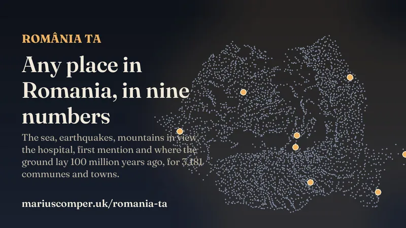
Type a Romanian town or village and see nine computed numbers, each from a different project: the sea, the earthquake design value, mountains in view, the nearest hospital, airport and castle, the first written mention, where the ground lay 100 million years ago, and your antipode.
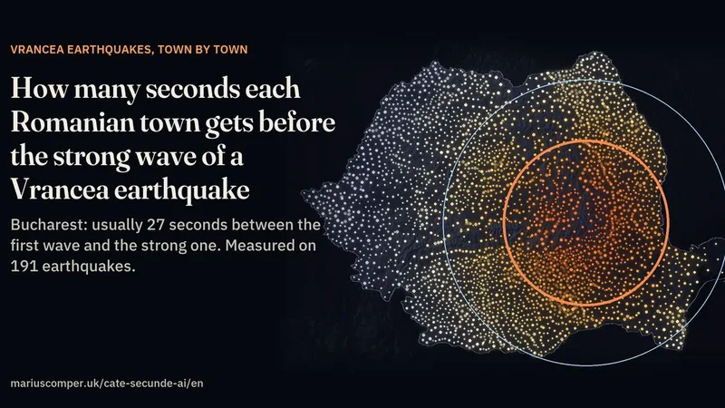
Find your locality and change the depth of a Vrancea earthquake to compare estimated wave-arrival times. The page tests its model against seismic recordings and examines Bucharest separately. The five seconds before a warning is sent are an assumption; phone delivery can add delay. This is not an alert service.
Type a town and see which peaks rise above its horizon and how far away they are. More than half of Romanians live where a peak over 2,000 m would be in view; from the Retezat you can see Bulgaria, from the Apuseni the Tatras.
A tropical night is one when the minimum temperature never drops below 20 °C. Galați, in Romania’s eastern lowlands, averaged 5.5 a summer in 1961–1990 and 28.9 in 2016–2025; Craiova 1.9 and 12.4. Every summer since 1950, night by night, for any Romanian town or village.
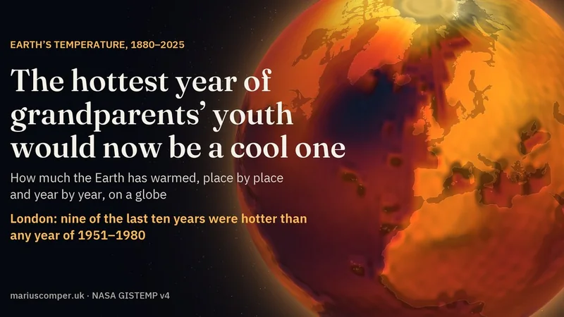
NASA’s temperature record on a globe, year by year from 1880 to 2025. Around London, nine of the last ten years were warmer than 1959, the hottest year between 1951 and 1980. With the numbers for 6,552 towns and cities and a family’s birth years. In Romanian and English.
A laser on the International Space Station took 1,449,120 valid measurements of Romania's forests between 2019 and 2025. The tallest forest is in the Tarcău mountains; look up any town and see how tall the forest around it is. In Romanian and English.
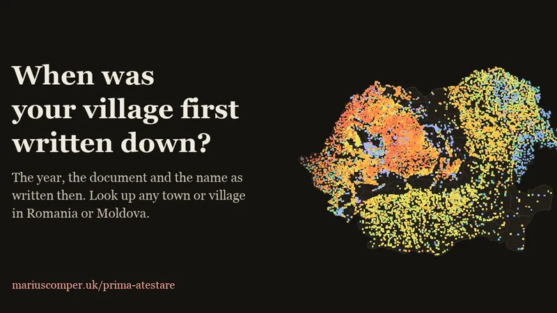
Look up a town or village in Romania or the Republic of Moldova and see its first documented mention, source and historical name where known. The map also marks unverified dates. Explore the stories of towns that celebrate the wrong birthday, from Timișoara to Ploiești.