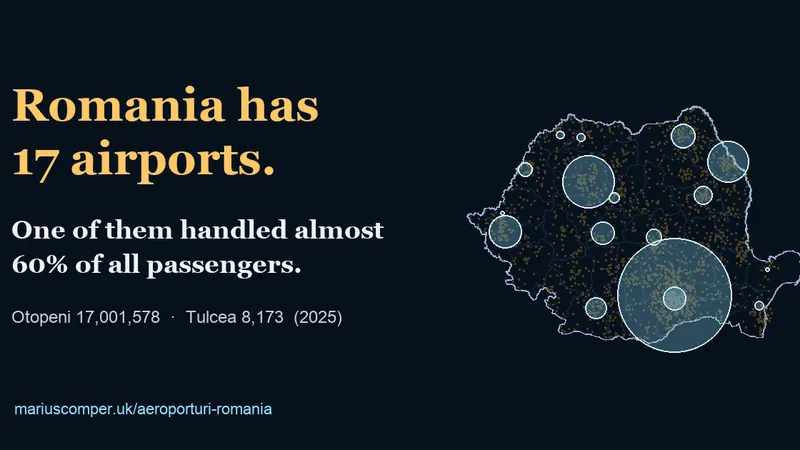
How many airports does Romania have? Map of all 17 (2025)
Romania has 17 airports in its passenger traffic statistics. See them on a map, ranked by 2025 passengers, and find the airport nearest to your town.
Explore București through projects about its places and county-level data. Then choose a town for its own profile.
Romania has 17 airports in its passenger traffic statistics. See them on a map, ranked by 2025 passengers, and find the airport nearest to your town.
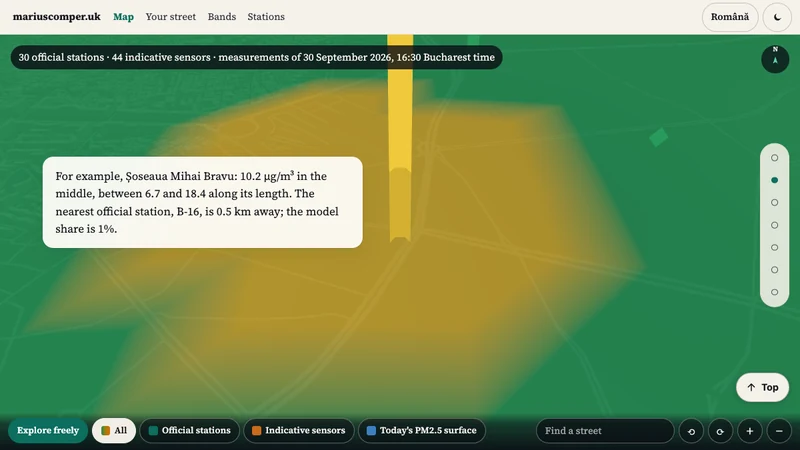
A snapshot of PM2.5 on Bucharest streets on 30 September 2026 at 16:30. Distinguishes station readings from model estimates; it does not show current air quality.
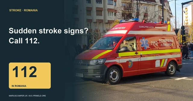
Recognise sudden stroke warning signs and prepare what to tell Romania’s 112 dispatcher. Includes an A4 reminder and the dated legal list of 13 hospitals named for thrombectomy. The list does not establish current service availability. Sources checked on 16 October 2026.
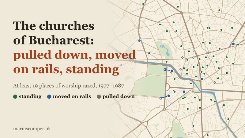
Type your street and see the old churches around you, the oldest of them, and the nearest church pulled down or moved on rails: 88 churches on today's map, from Curtea Veche (1558–1559) to Cuibul cu Barză, pushed 16 metres in 1988.

Hurezi 1697, Mogoșoaia 1702, the 1714 scaffold. 26 years of building and the fortune that killed him, on one map.

A timeline game: place 20 moments from Bucharest's history in order, from the first document of 1459 to the metro and the Revolution. Three mistakes allowed.

Ceaușescu's House, Revolution Square and the Palace of Parliament in one day: booking rules, official tariffs, leg distances, four December 1989 dates and a trilingual glossary.
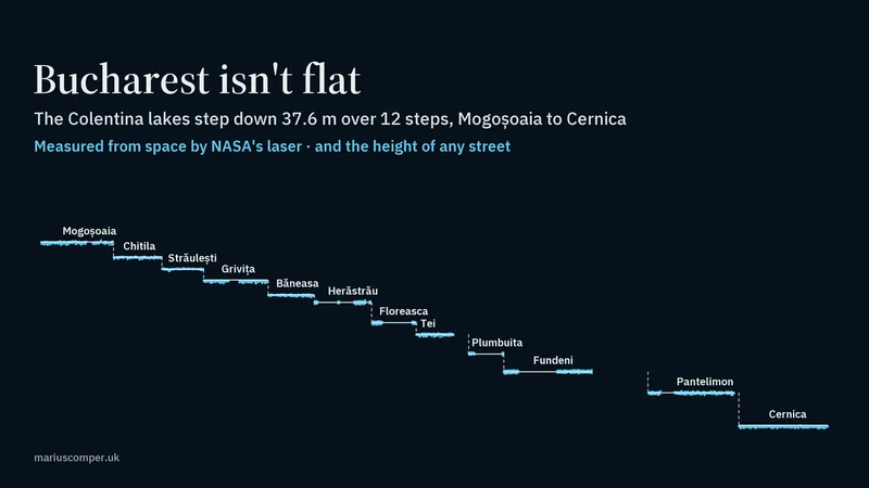
Twelve lakes on the Colentina river, measured by NASA's ICESat-2 laser: the water steps down 37.6 m from Mogoșoaia to Cernica. Plus the height of any Bucharest street against Piața Unirii. In Romanian and English.
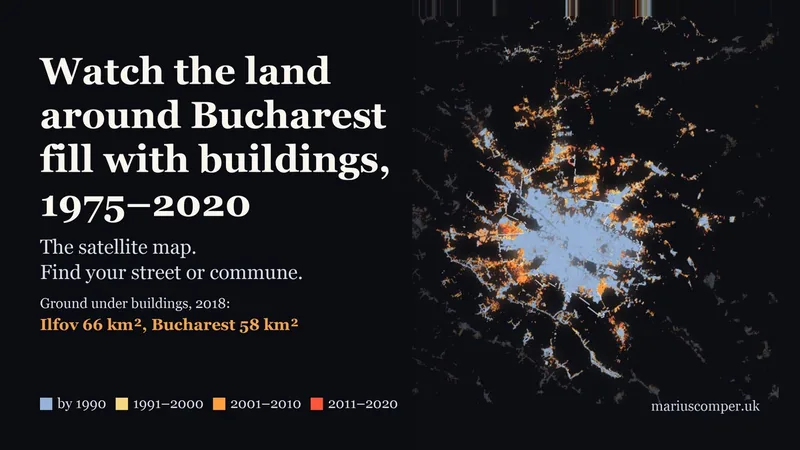
Ilfov now has more ground under buildings than Bucharest itself: since 1990, buildings have covered 42.1 km² of new ground in Ilfov and 11.1 km² in the city. The 1975–2020 satellite map for every street, neighbourhood and commune, with census population.
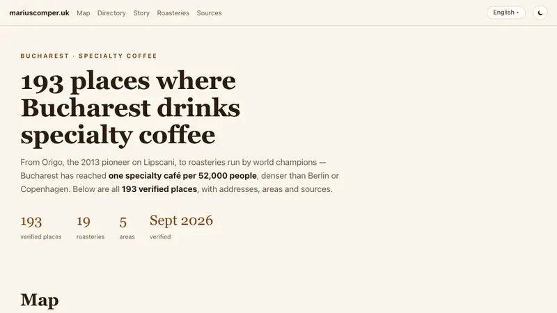
The Bucharest specialty-coffee map: 191 cafés and 19 roasteries, verified, with addresses, areas and sources. From Origo (2013) to world roasting champions.
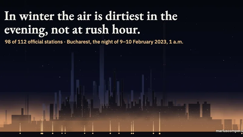
In winter, 98 of 112 official Romanian stations measure their dirtiest air between 7 and 11 p.m., and during the day 106 are cleanest between 1 and 4 p.m. The night of 9 February 2023 in Bucharest, hour by hour, on a section through the city with its real buildings: the warm lid measured by the Băneasa weather balloon and the smoke held in the lowest tens of metres. On Sundays, in similar weather, exhaust gas falls while evening particles show no clear difference. The share of homes heated with wood shows no clear link to the evening rise; the shape of the land is more closely linked. For every station: the best hour to air a room.
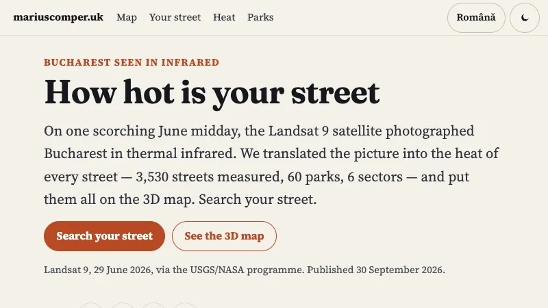
Type a Bucharest street and see how hot the satellite saw it at midday, in 3D: 3,532 streets measured from Landsat 9, 60 parks and 6 sectors, each street with its own mean.
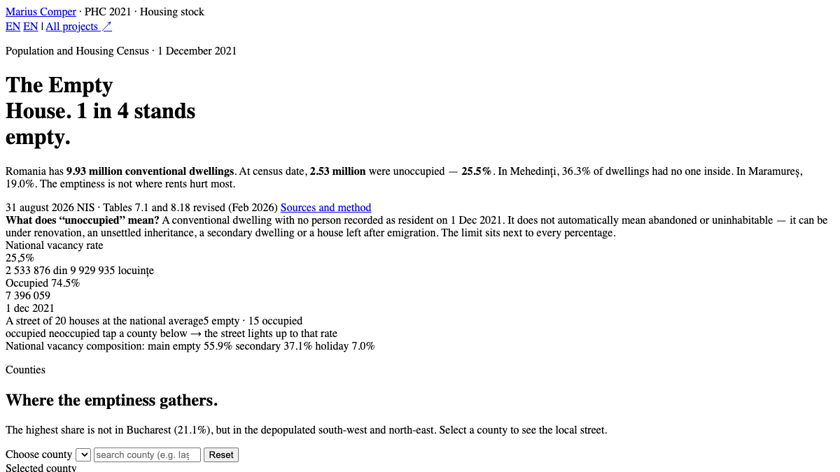
The 2021 Census counts 2.53 million unoccupied dwellings — 25.5% of the housing stock. In Mehedinți 36.3% are empty. County map, breakdown and why the rural empty stock does not solve city rents.

Single-person monthly budget simulator for Bucharest: observed food basket, official STB passes, PMB taxi rates, ECB conversion to yuan; no rent figures (portal terms), you enter yours.
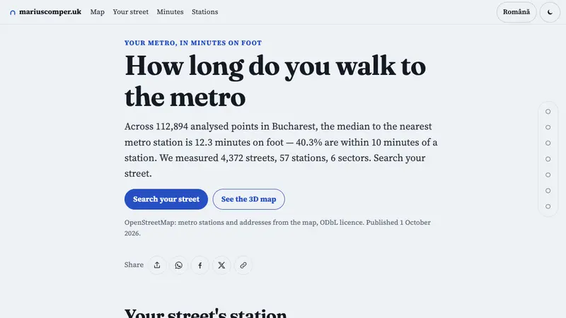
Search for a Bucharest street and see the straight-line distance to the nearest mapped metro station node. The map includes 57 stations; it does not calculate walking routes or distances to station entrances.
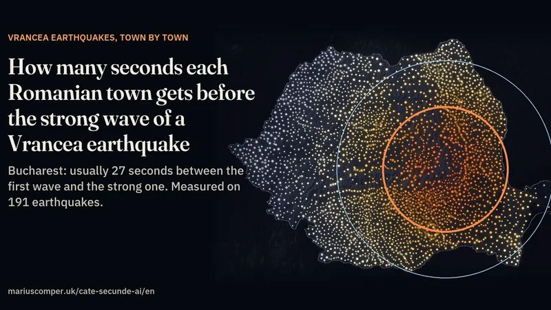
Find your locality and change the depth of a Vrancea earthquake to compare estimated wave-arrival times. The page tests its model against seismic recordings and examines Bucharest separately. The five seconds before a warning is sent are an assumption; phone delivery can add delay. This is not an alert service.
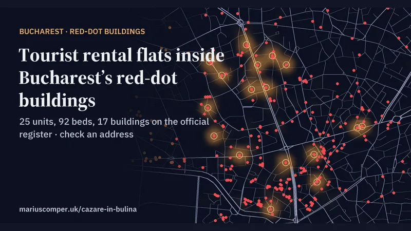
25 accommodation units on the Romanian Tourism Ministry’s register, with 92 beds, in 17 Bucharest buildings rated seismic risk class I, where renting out homes has been banned since 2024. Check an address before you book. In Romanian and English.
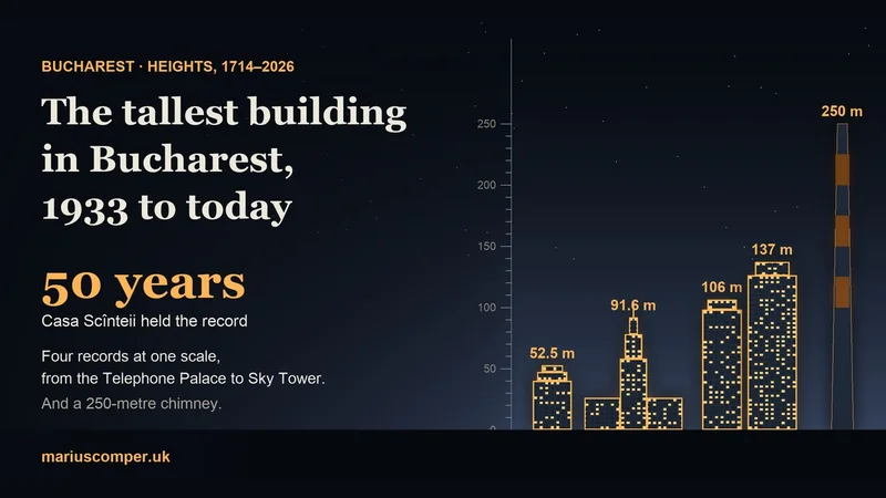
The Telephone Palace, Casa Scînteii, Tower Center International and Sky Tower drawn to one scale beside a ruler in metres, plus a 250 m chimney. You climb the ruler with the text, see who held the record and for how long, and choose the floors of your own block to find which record it would have broken.
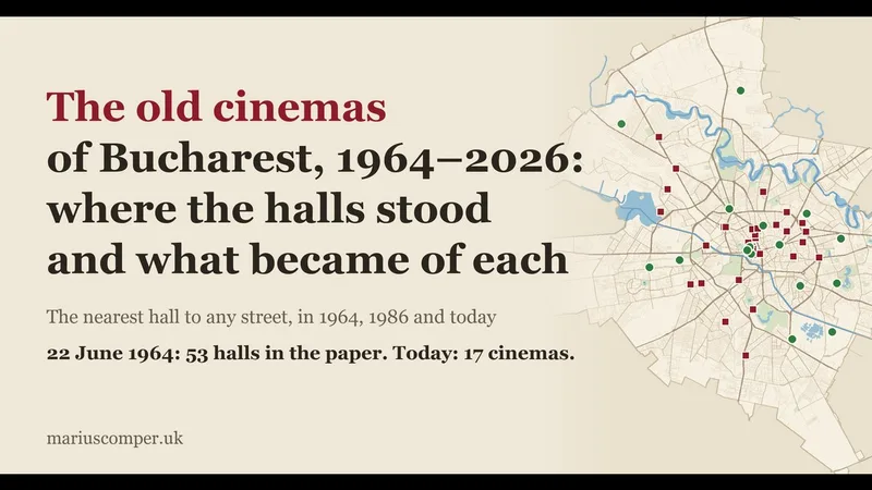
On 22 June 1964, Scînteia listed films in 53 Bucharest halls; today 17 cinemas run a regular programme, 11 in malls. A map of every hall, what it became, and a street search for 1964, 1986 and today.
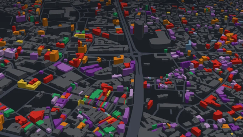
Search a street and see the buildings on Bucharest's official seismic-risk list in 3D. Of the 2,798 addresses on the 6 October 2026 list, 2,626 could be placed on the map; the others remain in the table.
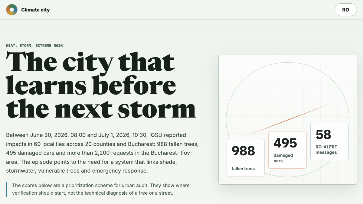
An interactive matrix about heat, storms, extreme rain and the data that can guide Bucharest's response.
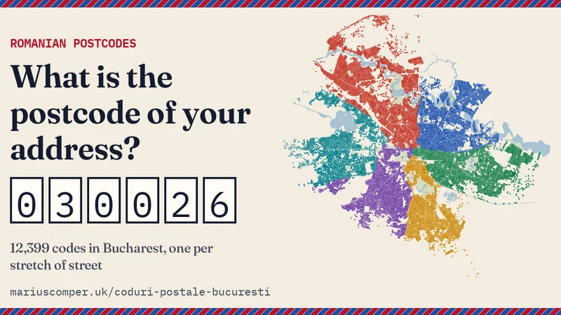
The postcode of any address in Romania. Bucharest drawn from its 12,399 codes, one per stretch of street, with the delivering post office and how to write the address.
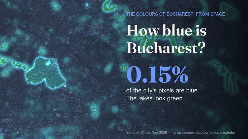
Barely: 0.15% of the city's pixels are blue in the 22 August 2026 image. The lakes look green or dark teal; the blue identified on the map is on roofs and in swimming pools. The colour wheel shows the city in every other hue. In Romanian and English.
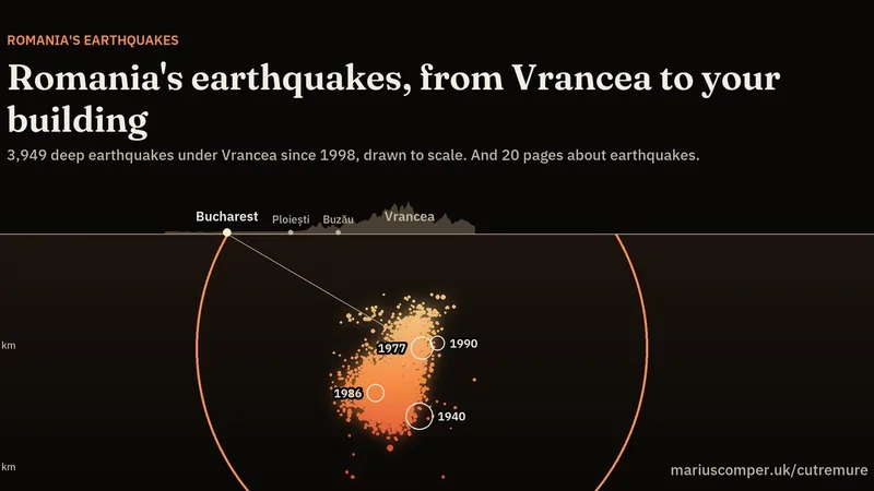
Every deep Vrancea earthquake EMSC has located since 1998, drawn to scale on a section to Bucharest, with rings for the large quakes of 1940, 1977, 1986 and 1990 and their waves. Below it, every page about earthquakes, from Bucharest's red-dot buildings and the 1977 earthquake to how many seconds you get before the strong wave, with short answers to the most searched questions.
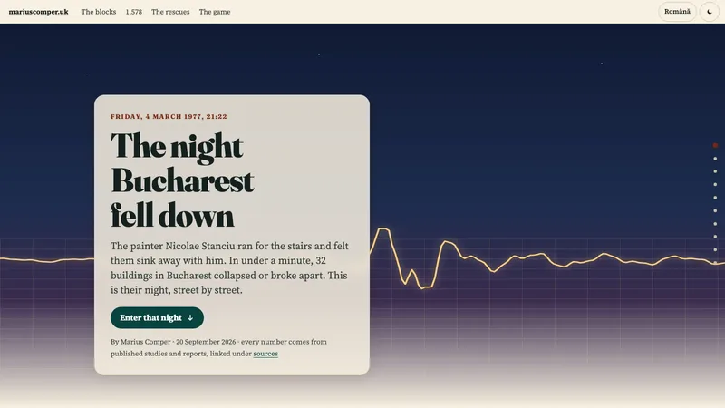
4 March 1977: the ground under Bucharest swayed once every second and a half, close to the beat of the tall interwar blocks. Shake a 1977 street, see the fallen blocks and look up your address on the official seismic-risk list.
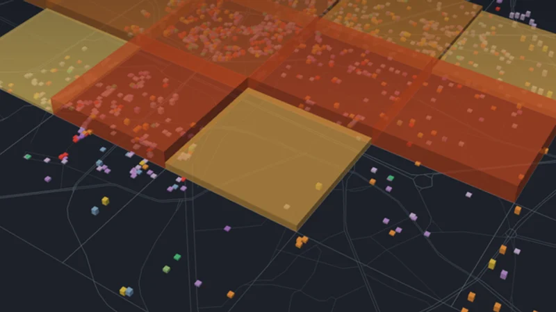
Follow the 1977 wave across a 3D map of Bucharest, see the damage recorded for each square kilometre and search today's seismic-risk list. The historic record describes map squares, not what happened to any one building.
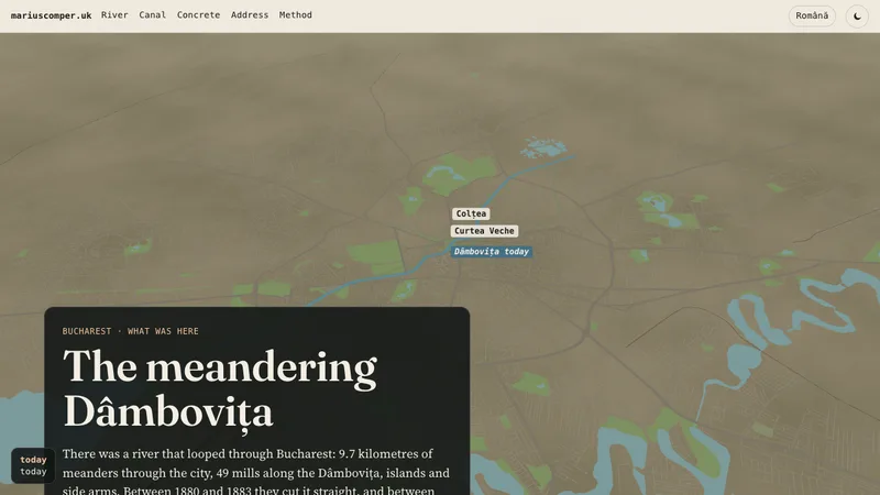
A river looped through Bucharest, with 49 mills, islands and side arms. Between 1880 and 1883 it was cut straight; between 1985 and 1988 it was poured in concrete. Type your address and find out if you live on the old riverbed.
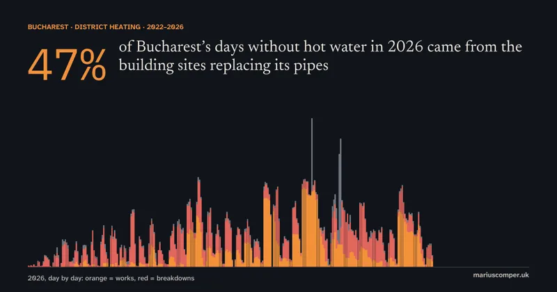
In 2026, 47% of the block-days without hot water in Bucharest came from the works modernising the heating network, against 5% in 2022. It is the worst of five years: 280,294 block-days to 23 October, 10% more than in 2025. In October, a month after City Hall said 95% of the sites were done, 70% still came from the works.

Interactive investigation of drinking water origins across Romania’s 10 major cities: surface reservoirs, karst aquifers, 100+ km aqueducts, hardness, and glass chemistry.
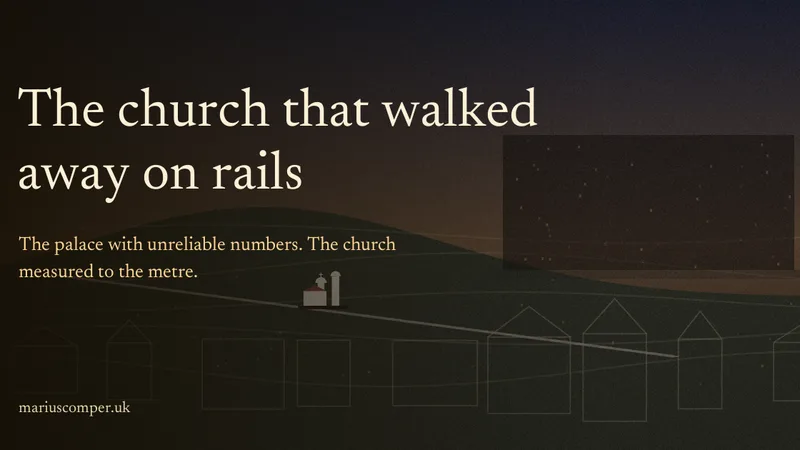
In Constitution Square, the People's House does not fit inside one photograph. Underneath it there was once a neighbourhood — sloping streets, villas, churches — and one of the churches did not die: it walked away on rails and is waiting behind the blocks. Pull it yourself, metre by metre. In Romanian and English.
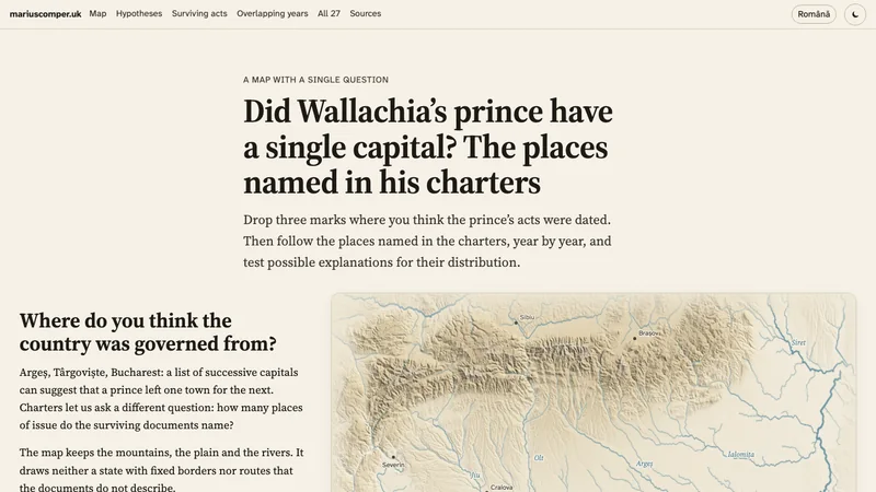
Argeș, Târgoviște and Bucharest were used in overlapping periods. Princely acts through 1550 also name market towns, monasteries and places still unlocated. The map follows documented issues, keeping proposed dates and gaps in the record distinct.

Is Bran worth it? Stoker never visited Romania, and the novel never names Bran. Six places graded by evidence — archive (Targoviste), disputed tradition (Snagov), late materialization (Borgo) — with a visit router.

Opened in 2003, Dragonul Roșu has 10 pavilions according to its operator. Explore the wholesale market and Romania’s trade with China, with annual data and sources.

The eclipse was total in Bucharest on 15 February 1961, but cloud hid totality from the ground. Newspapers, scientific reports and Romanian archives preserve observations made on the ground and from the aircraft.

Pick the nearest town and see every solar eclipse it gets from 1900 to 2100: which were total, how much Sun was left each time, and when the next shadow comes.

For a Bucharest airport layover, compare staying in the terminal, visiting the city or staying overnight. Check transit and entry rules, then compare measured train, bus and taxi times.
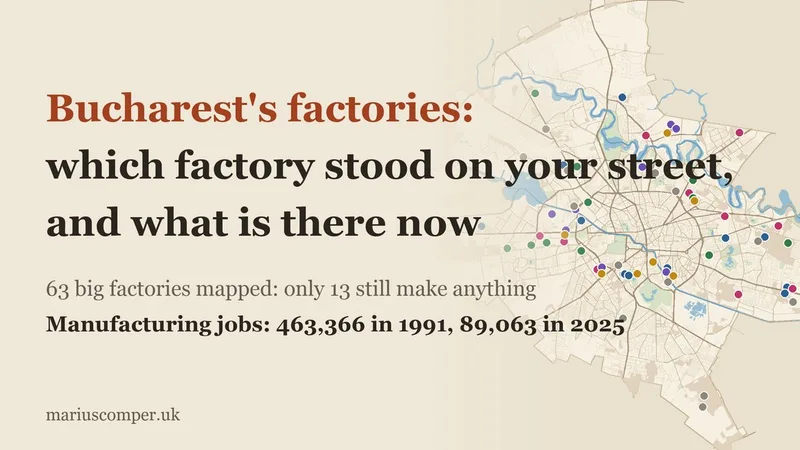
Type your street and see the big factories near you as they were and what stands there now: 74 factories, only 16 still make anything; the rest became malls, offices, flats or wait. In 1991, 463,366 manufacturing employees; in 2025, 89,063.
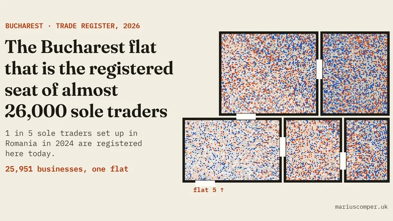
One ground-floor flat, Bd. Bucureștii Noi 136, flat 5, is the registered seat of 25,951 businesses, almost all sole traders (PFAs) registered since 2021: one in five PFAs set up in Romania in 2024 and 68.5% of courier PFAs. With a map of Bucharest's 777,367 businesses, building by building.
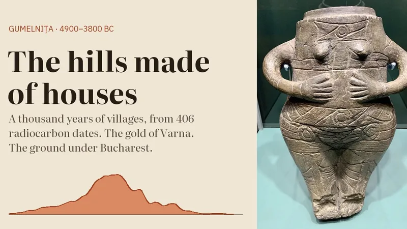
Between 4900 and 3800 BC on the Lower Danube, people built their houses one on top of another until their villages became mounds. A clock drawn from 406 radiocarbon dates, the gold of Varna, four people raised elsewhere and what has actually been found under Bucharest, in Romanian and English.
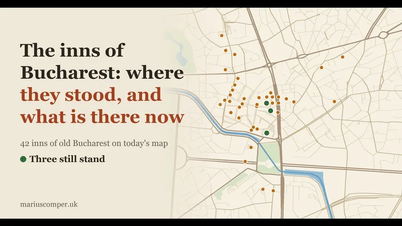
Type your street and see which inn stood near you and what stands on its site now: 42 inns of old Bucharest on today's map, from Șerban-Vodă (now the National Bank) to the three still standing.
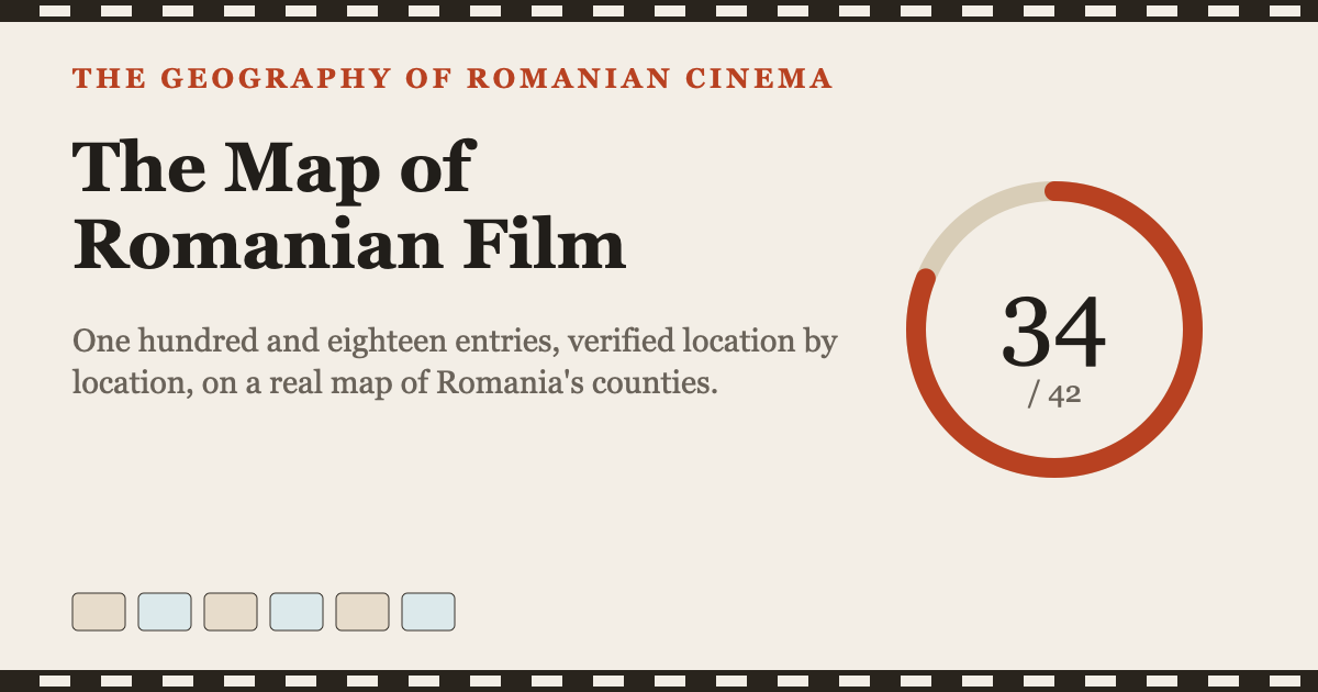
One hundred and twenty-five titles and places mapped across Romanian cinema: from the Buftea studio lot to the Danube Delta and contemporary Cluj. A real, county-level map.
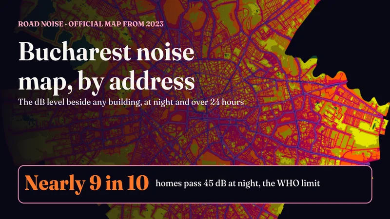
The City's official noise maps existed only as PDF images. Type a street and number to see the modelled level around the building, at night and as a 24-hour average, against the WHO limit of 45 dB. Nearly 9 in 10 homes exceed it at night.

In 1992, 34 in 100 new Bucharest companies had IMPEX in the name; in 2026, 3 in 1,000. The words in the names of 639,449 limited companies, year by year, and a toy: what your firm would have been called in a year you pick.

Ion Mincu (1852–1912) and the beginnings of the Romanian Revival: the 1886 Lahovari House, five elements to spot, a six-stop walk.
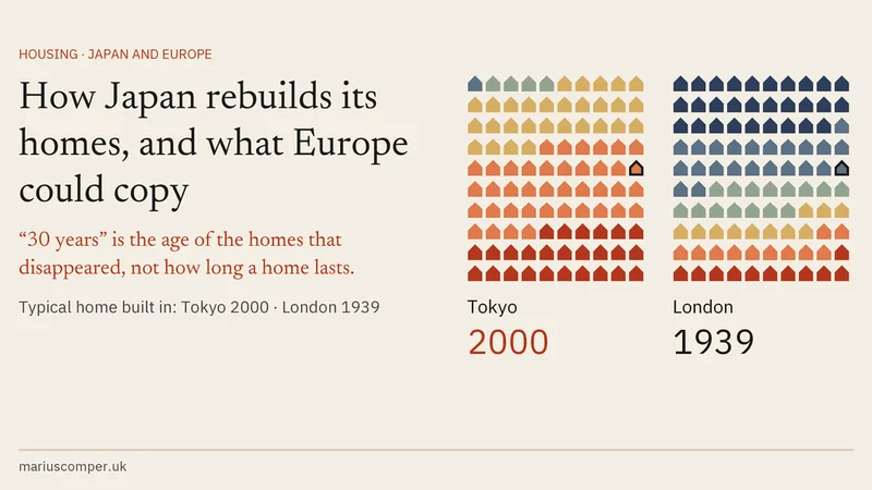
“30 years” is the age of the Japanese homes that disappeared, not their lifespan: half of Tokyo’s 1970s homes are still lived in. The age of homes in eight cities, why Japanese houses lose their value, the blocks that almost never get rebuilt and, step by step, what happens to tenants and owners if their building came down in Tokyo, London, Barcelona, Vienna, Berlin, Amsterdam, Bucharest or Cluj. In Romanian, English, Spanish and Catalan.
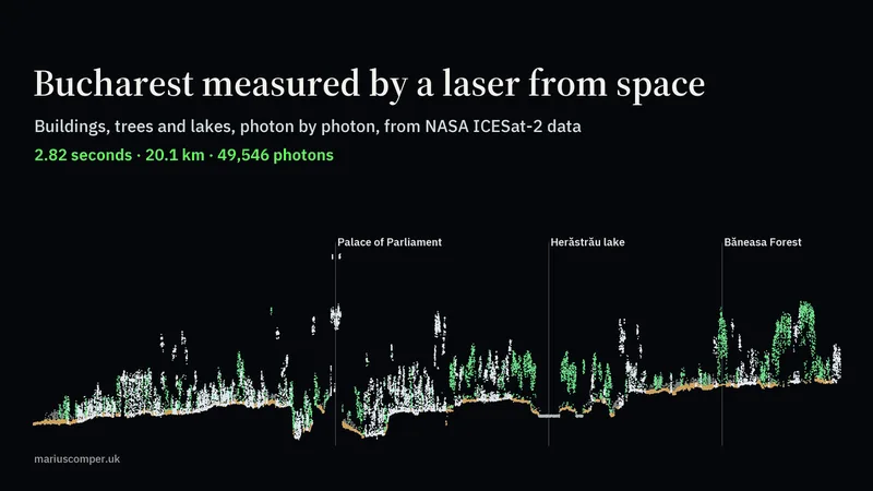
NASA ICESat-2 laser photons over Bucharest, 32 summer passes (2019–2026): a section of the city from Jilava to Otopeni, the height of its trees, and how close the beam passed to any address. In Romanian and English.
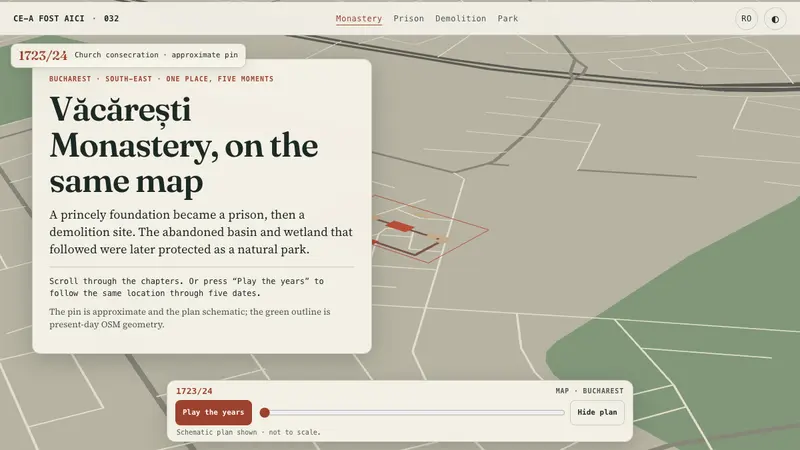
Founded by Nicolae Mavrocordat in 1716 and completed under Constantin, the monastery became a prison in 1865 and was demolished in 1986–1987. A 1906 photograph and schematic plan explain the lost complex. The map also shows the nearby basin, designated a nature park in 2016.
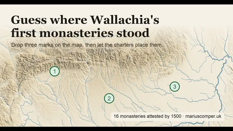
Drop three marks on the relief, then the charters place the monasteries attested by 1500, in documentary order. Test five explanations one by one: the passes, the Danube, the prince, Nicodim's network, the forest. In Romanian and English.
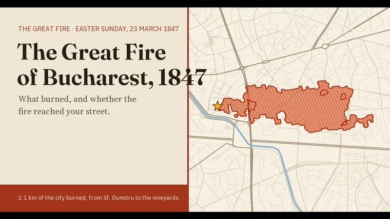
Easter Sunday, 1847: from a house by Sf. Dumitru, fire burned a 2.1 km strip of Bucharest out to the vineyards. The April 1847 burn plan fitted to today's streets: type an address to see whether the fire reached it, in what order places burned, and what building rules followed.
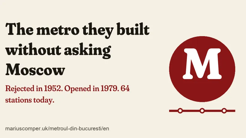
In 1952, Soviet counsellors rejected the Bucharest metro as a “premature aspiration”. Twenty years later the Romanians dug it on their own. A station-by-station map, a page for each of the 57 stations, where their names come from, and the metro that isn't there.
Seven Bucharest museums and sights, with prices, opening hours and measured car routes: the Village Museum, Antipa, Ceausescu House, MNAR, MNIR, the Palace of Parliament and Cotroceni.
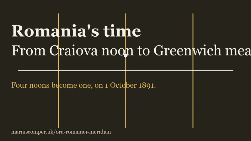
When Bucharest read noon, Iași already read 12:06 and Craiova only 11:51. Pick a city, slide the year across 1891 and watch four local noons become a single railway time.
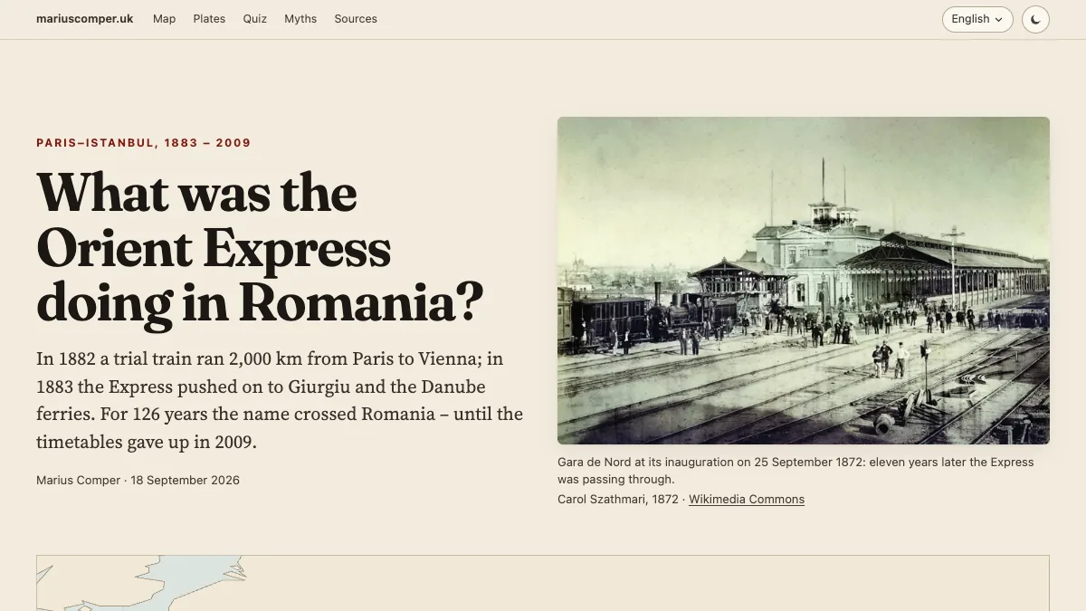
In 1883 the train from Paris terminated at Giurgiu, followed by onward travel through Varna to Constantinople. The map and chronology follow its Romanian stages and changing routes through to the final Strasbourg–Vienna service in 2009.

Seven of Romania’s ten woodpecker species have been found in Băneasa Forest, on the northern edge of Bucharest. Hear how each one sounds, with drum rolls measured strike by strike, and drum a rhythm of your own. With photographs taken in the forest in 2026 and a map of what has been built around it since 1990. In Romanian and English.
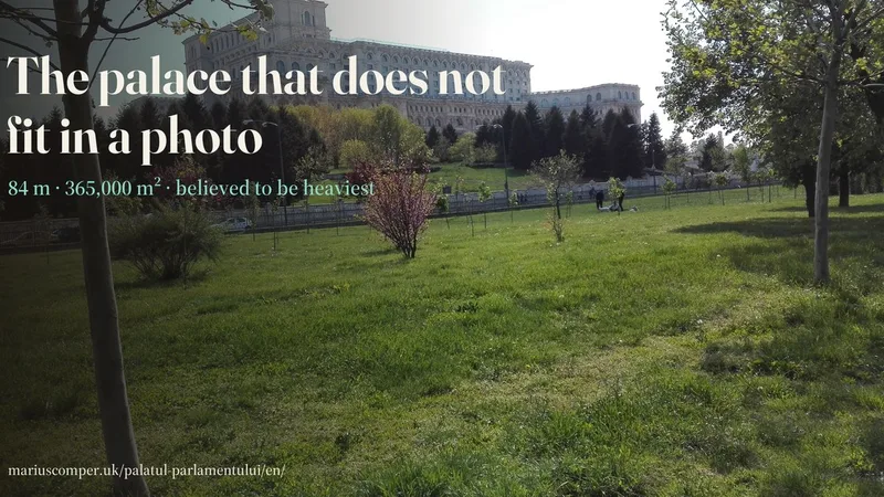
On Arsenal Hill stands a building 270 by 245 metres — 84 above ground, 16 below, 365,000 square metres — that Guinness calls “believed to be” the heaviest in the world. Raise it floor by floor, in schematic 3D, then unpick the numbers: which are official, which merely circulate.
Search for a Bucharest street and see the straight-line distance to the boundary of the nearest named park. The map includes 169 parks and gardens; it does not calculate walking routes or access through park entrances.
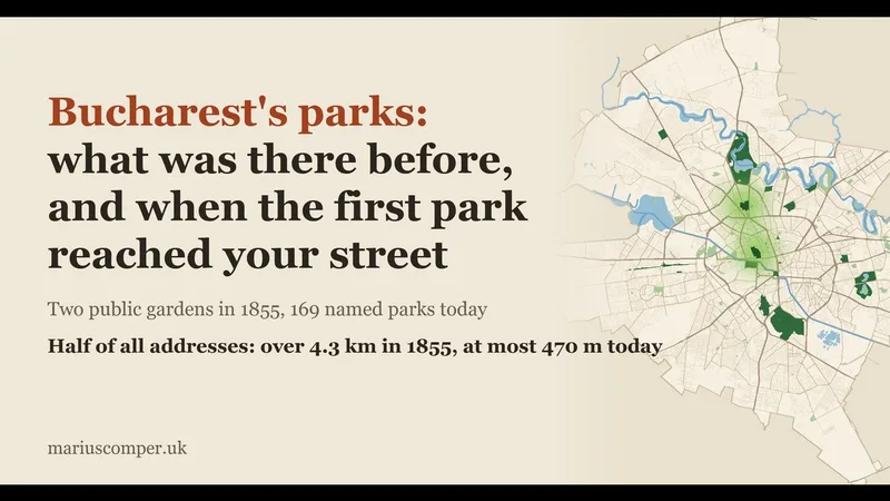
Type your street and see how a park came closer to your house, from 1855 to today, and what was on its ground before: drained ponds, clay pits, rubbish tips, demolished houses. 169 named parks on today's map, 20 with their history.
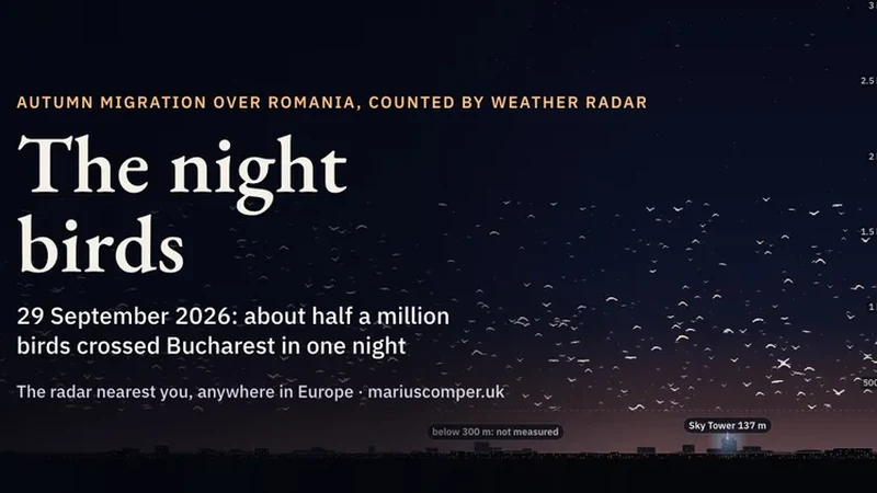
On 29 September 2026 about half a million birds crossed Bucharest at night, heading south-west almost a kilometre up. Romania’s new weather radars count them, but the European archive computed them with the wrong wavelength: the published numbers are almost 14 times too high.
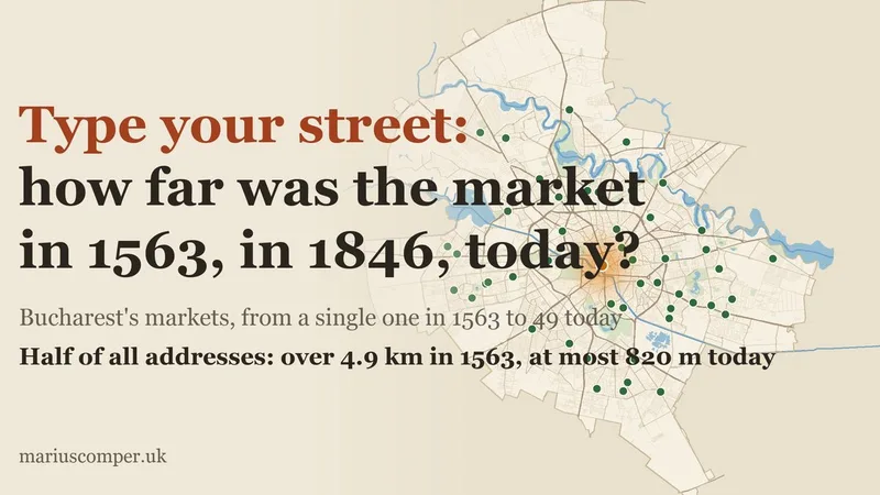
Type your street and see the nearest market in 1563, c. 1708, 1846, c. 1900, 1938 and today: from the bazaar by the Princely Court to today's 49 markets. Plus the Outer Fair that kept running from the city, the lost halls and Obor.

Every county code has a fixed ceiling: 1,422,234 possible plates. Bucharest reached it in January 2010 and quietly switched to three digits. Sixteen years later, no other county has passed 30% of the same ceiling — except one, which is growing differently. Look up your county on the dashboard.
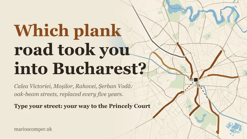
Calea Victoriei, Moșilor, Rahovei and Șerban Vodă were once "poduri": streets of oak beams, replaced every five or six years. Type your street and see which old road took you to the Princely Court, how far it was and what it was called over the years.
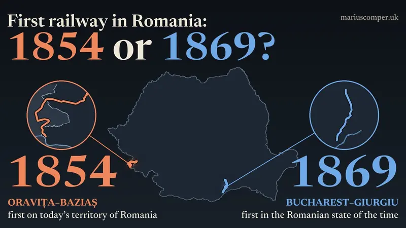
The press calls two different lines “the first railway in Romania”. Choose what “first” means and watch the answer change, then ride the real 1854 track, which leaves today’s Romania and comes back.
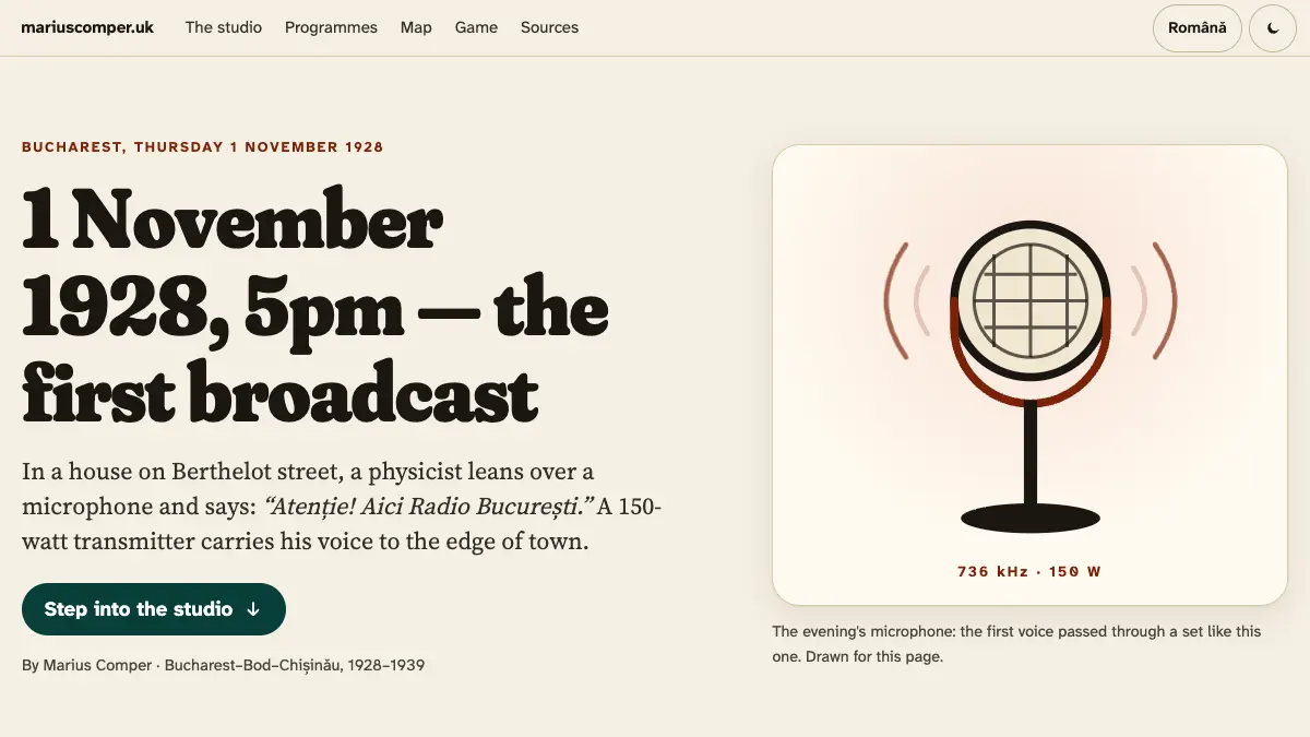
On Thursday 1 November 1928, at 5pm, Professor Hurmuzescu says “Atenție! Aici Radio București.” The story of the first 150-watt transmitter, the Băneasa, Bod and Chișinău stations, and the 274,314 registered owners of 1938.
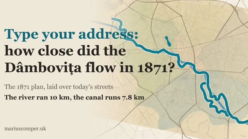
Type your address and see where the Dâmbovița ran in 1871 compared with your home, with the margin of error: Pappasoglu's plan laid over today's streets. Plus the 1880 canal, the 1930s slab and the double river.
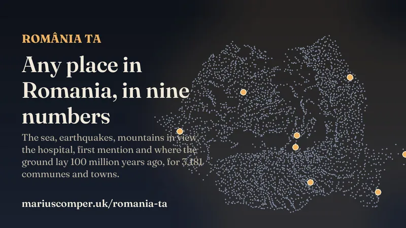
Type a Romanian town or village and see nine computed numbers, each from a different project: the sea, the earthquake design value, mountains in view, the nearest hospital, airport and castle, the first written mention, where the ground lay 100 million years ago, and your antipode.
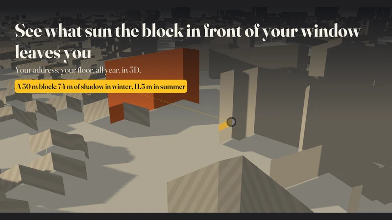
Look up a flat's address in Bucharest and see how many hours of direct sun its window gets on every day of the year, with shadows from neighbouring buildings and from a new block you place yourself.
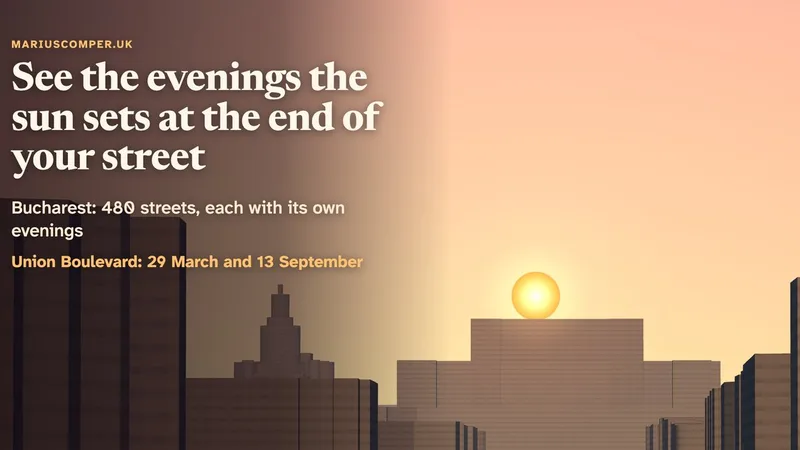
Seen from Alba Iulia Square, the setting sun comes down exactly onto the top of Bucharest's Palace of the Parliament on 29 March and 13 September. Look up your street and see the evenings the sun sets or rises at its end, in a view drawn from the city's real buildings.

For each of Romania’s 3,181 municipalities, towns and communes, the map gives an estimate at one point; villages within a commune have no separate results. About 3,000 stars are visible under a natural sky; observers in Bucharest reported a median of 34.
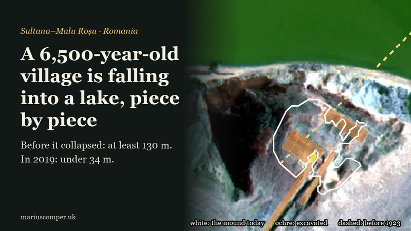
At Sultana in south-east Romania, the shore of Lake Mostiștea collapses year by year, taking a 6,500-year-old village with it. By 1923 the mound was already broken in half. The real ground in 3D: the mound today, the trenches, house L2 and its length before the collapse.
Bucharest surface temperatures on 25 October 2025: 3,530 measured streets, 60 parks and six sectors. Find a street for the mean around its addresses, its temperature band and the comparison with 29 June 2026. The data describe two satellite passes in different years.
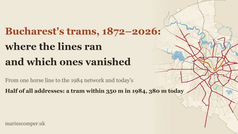
Type your street and see the nearest tram line in 1872, around 1910, in 1963, in 1984 and today, plus the line that disappeared near you. From the 1872 horse line to today's track under works.

Tropical nights (≥ 20°C) are warming faster than daytime highs. An interactive explainer about recovery, Europe, Bucharest on the chart and mortality.
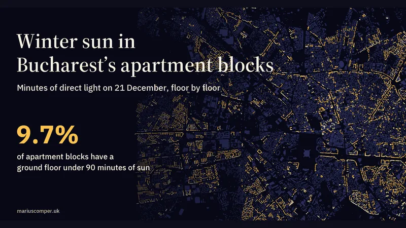
Minutes of direct sun on 21 December for 11,804 Bucharest apartment blocks, floor by floor and façade by façade, against the 90-minute threshold of Order 119/2014. Look up an address and see the whole year of your window. In Romanian and English.
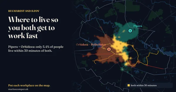
Put each workplace on the map and the places in Bucharest and Ilfov light up where you can both get to work on time by metro, bus, tram or trolleybus, from the official October 2026 timetable, walking and waiting included. For a big office district, on average about one in five people live within 30 minutes of it; for two different districts, fewer than one in ten. In English and Romanian.
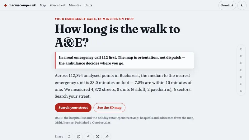
Search for a Bucharest street and compare straight-line distances to adult and paediatric emergency units separately on the 3D map. The map does not calculate routes or travel times. In an emergency, call 112.
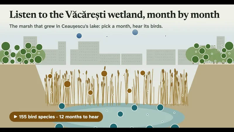
Pick a month and hear the birds recorded in Văcărești Nature Park, from 276 public checklists, over the city's hum recorded in the park. Below, the pit from space, 1984 to 2025.
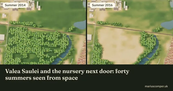
The ponds of Valea Saulei kept their green; the Tei-Toboc tree nursery beside them lost it in a single summer, 2015. Every 30-metre square, drawn summer by summer from Landsat. On 27 October 2026 Valea Saulei became a protected natural area. In Romanian and English.

The median age of each of Romania’s 3,181 localities, computed from the registered population by single year of age (INS, POP107D), on a map with every real boundary. Search your locality, see how old it is against the country and the county, its age fingerprint in one hundred squares, its pyramid by sex and its path from 1992 to 2026. In 528 localities there are now more registered people aged 80 or over than children under 10; in 1992 there were 9.
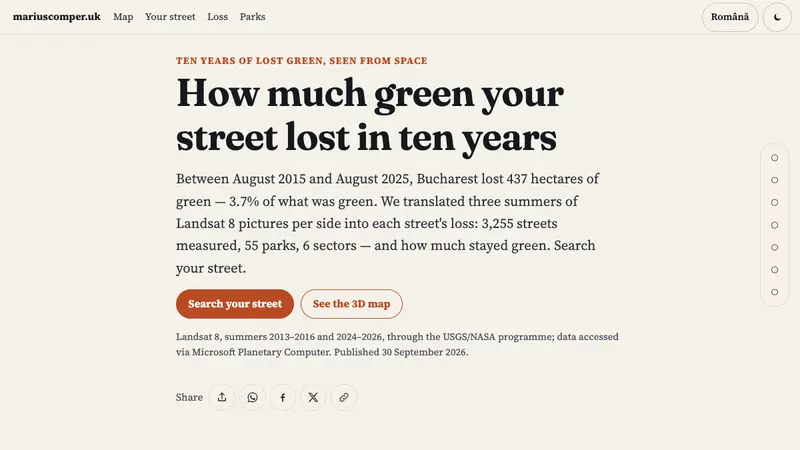
Type a Bucharest street and see how much green it lost in ten years, seen from space, in 3D: 3,267 streets measured from Landsat 8, 55 parks and 6 sectors — each street with its loss between August 2015 and August 2025.
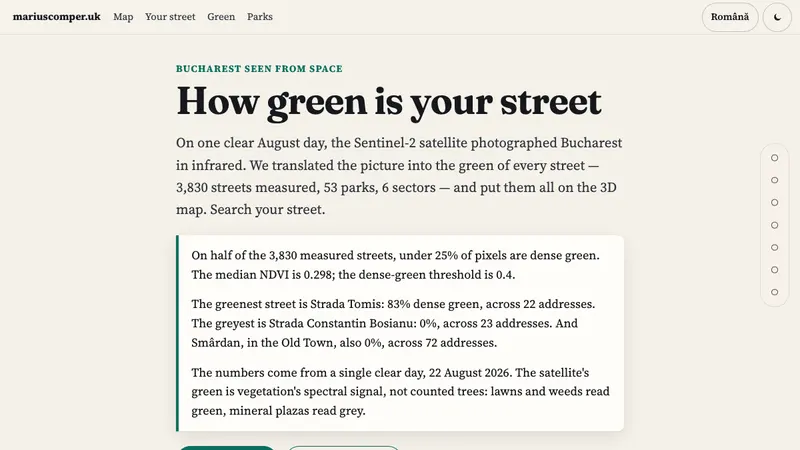
Type a Bucharest street and see how much green the satellite saw around it, in 3D: 3,830 streets measured from Sentinel-2, 53 parks and 6 sectors, each street with its own share.
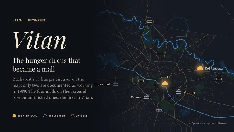
Vitan, in Bucharest’s Sector 3: the mahala of the 1928–1934 photographs, the hunger circus left unfinished in 1989, and the mall of 1999. On the map, the 11 hunger circuses: only two are documented as working in 1989, and the four malls on their sites all rose on unfinished ones.
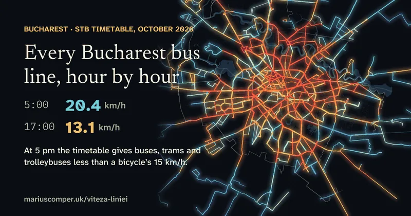
At 5 am STB’s timetable runs its trips at 20.4 km/h on average; at 5 pm at 13.1 km/h, below a bicycle’s 15 km/h. The evening is slowest: 120 of 121 daytime lines are timetabled slower between 4 and 7 pm than at midday. A City Hall study puts line 222 at 6.46 km/h; the timetable says 14.5.
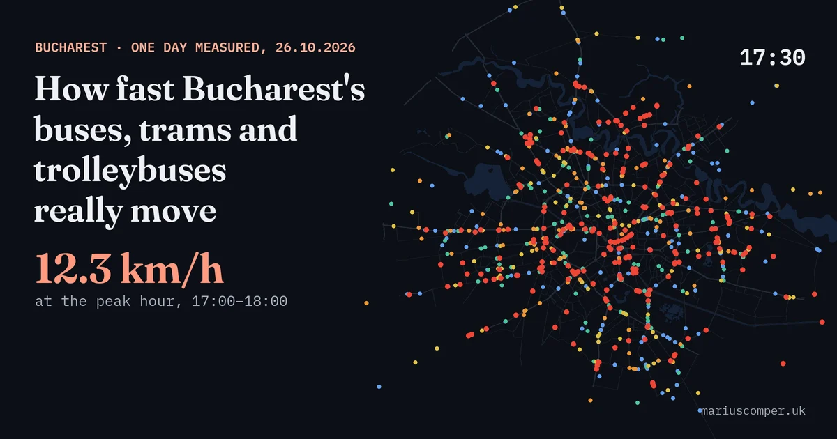
One weekday (26 October 2026) from every vehicle's real position: 12.3 km/h between 17:00 and 18:00, the streets where the bus is slower than walking, the timetabled trips that never appeared and how crowded each line is. Look up your line.
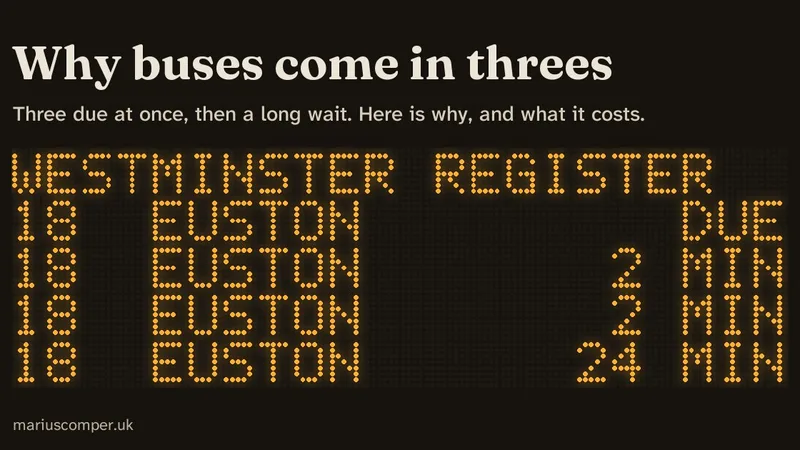
You wait, then three come at once. Watch evenly spaced buses pull themselves into bunches, find out why you nearly always land in the long gap, and see your own London route measured and live. In English and Romanian.
Bucharest has a plan for earthquake day, but not for the year after.
| Measure | Value | Period and meaning |
|---|---|---|
| Median age of the population by domicile ↗ | 45 years | 2026 Half the population registered by domicile is younger, half older. |
| Dwellings with no enumerated residents ↗ | 21.1% | 2021 census Of conventional dwellings. This does not establish abandonment or availability. |
Periods and definitions differ. Each project explains its source, unit and data limitations.
România ta profiles bring together nine calculated facts about each locality, with links to their sources.