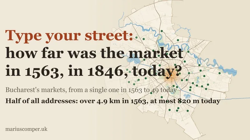
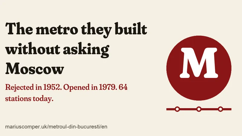
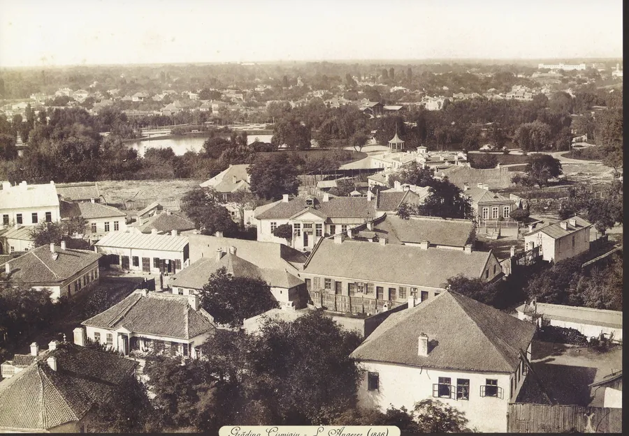
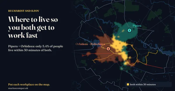
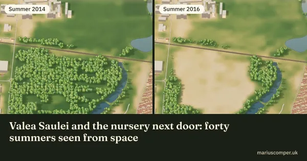
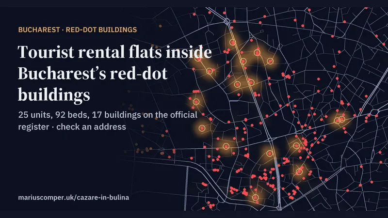
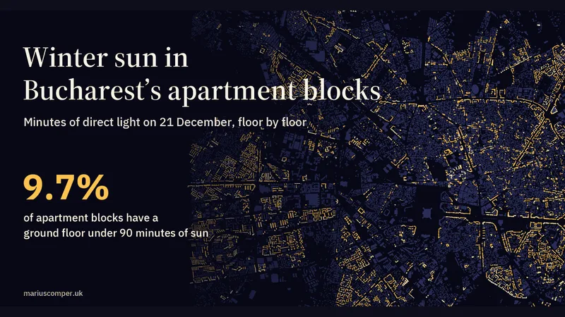
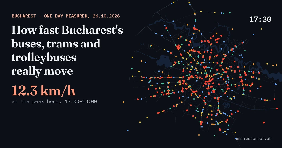
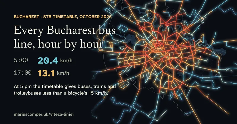
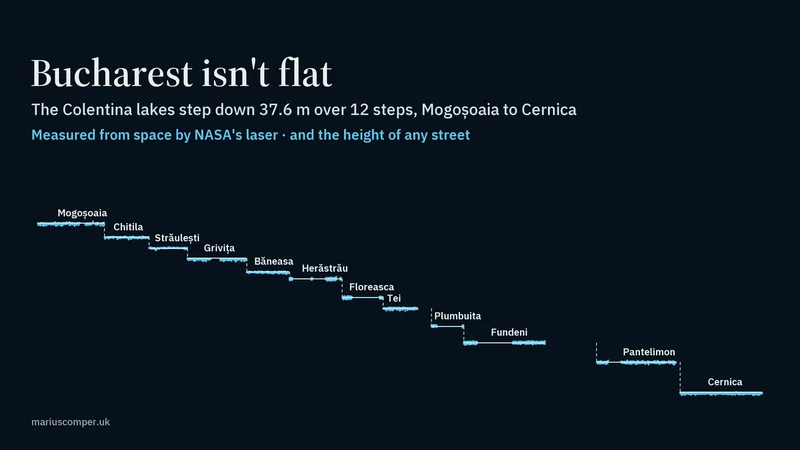
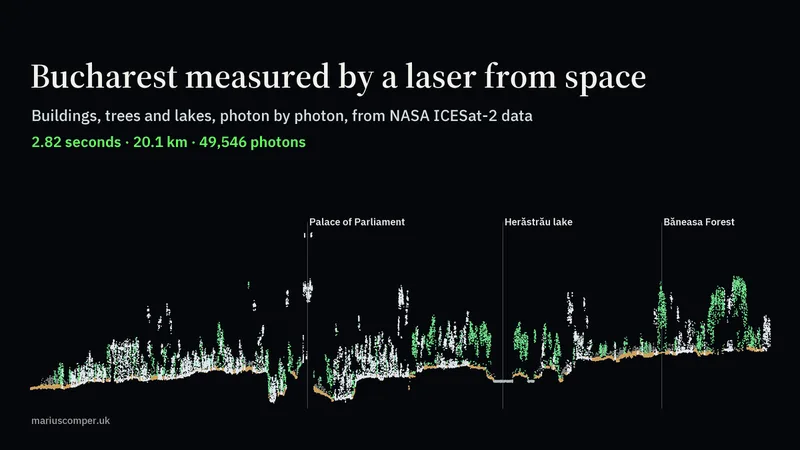
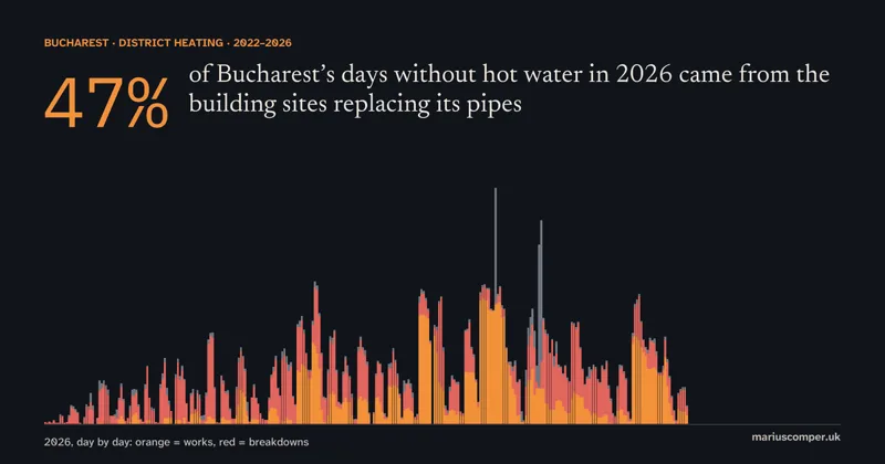
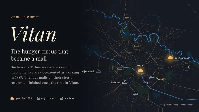
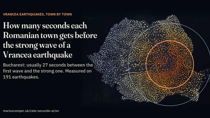
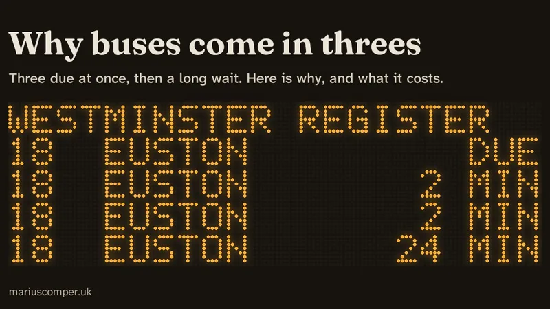
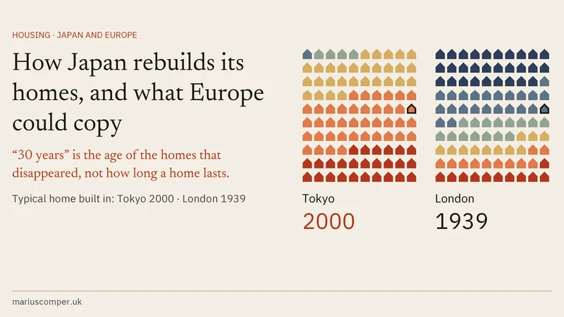
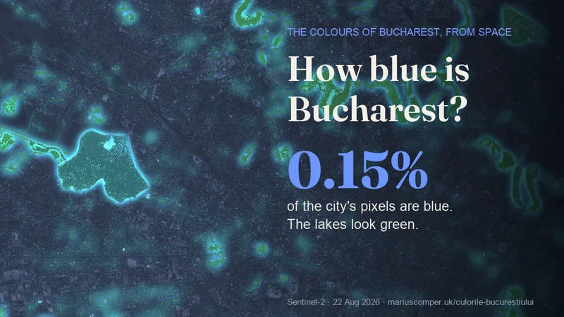
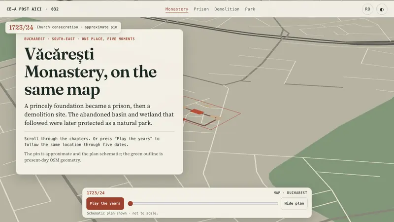
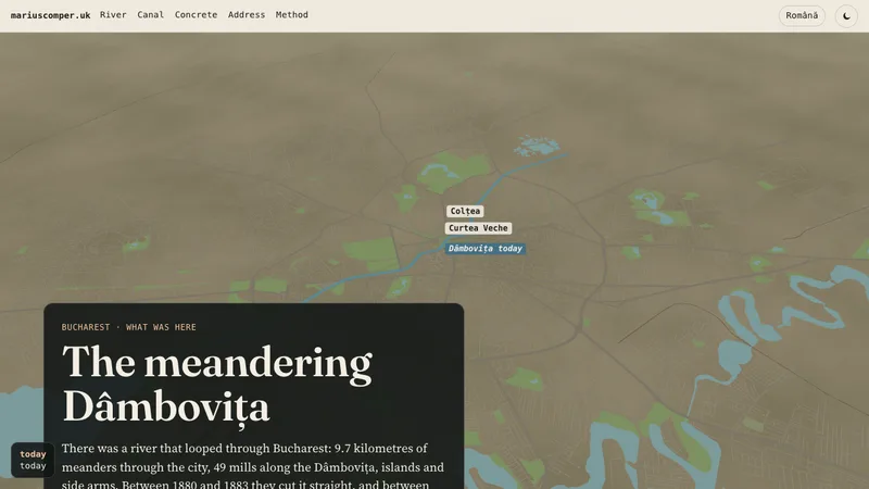
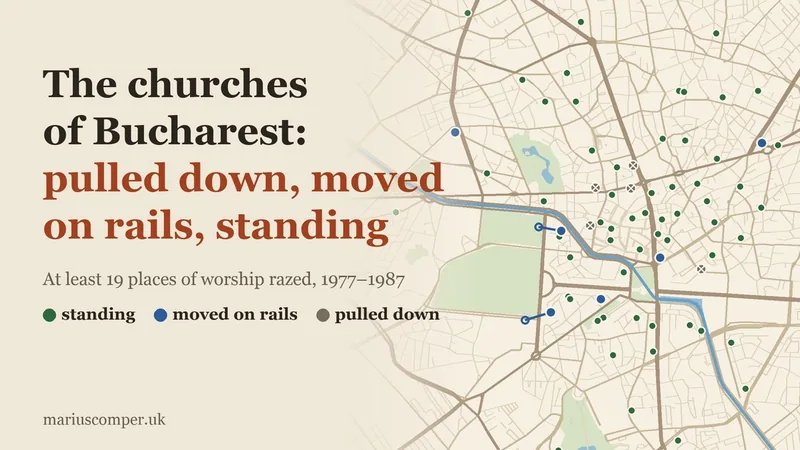
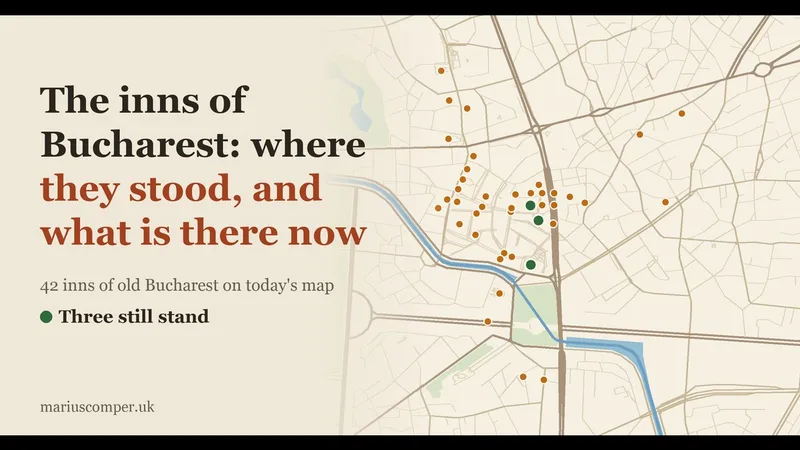
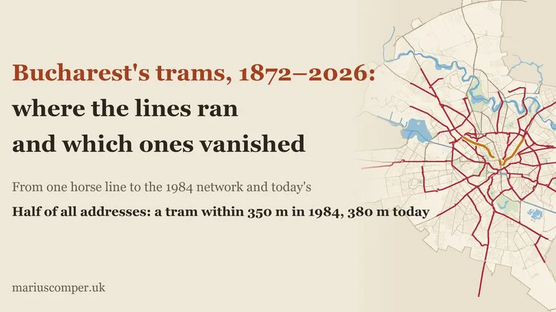
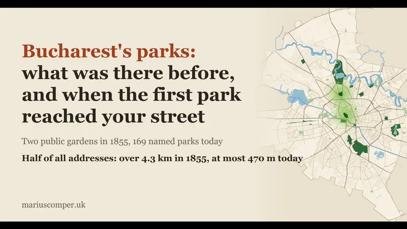
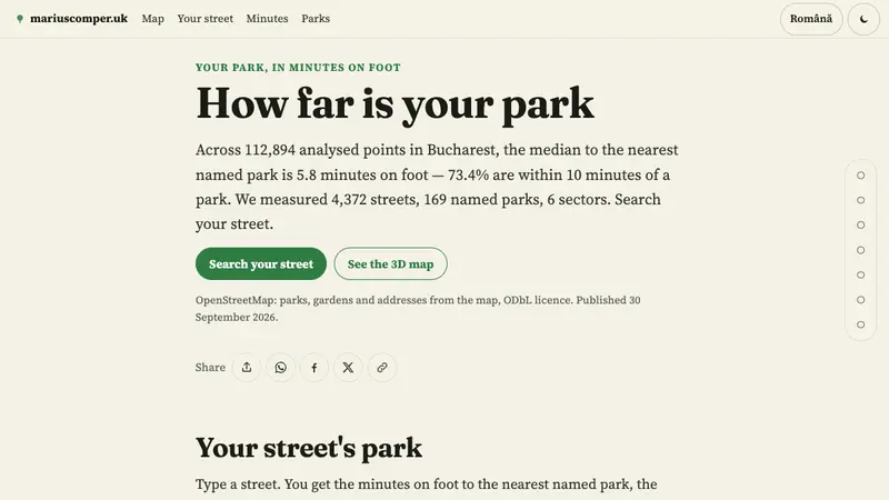
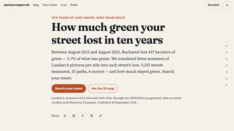
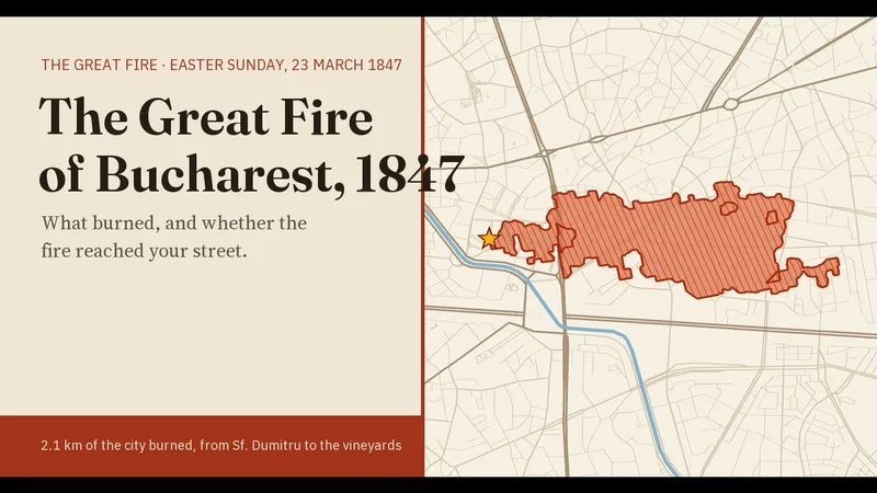
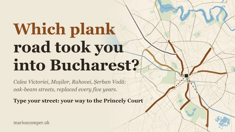
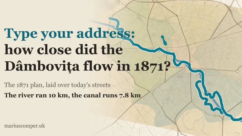
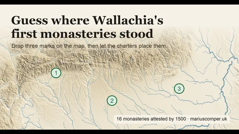
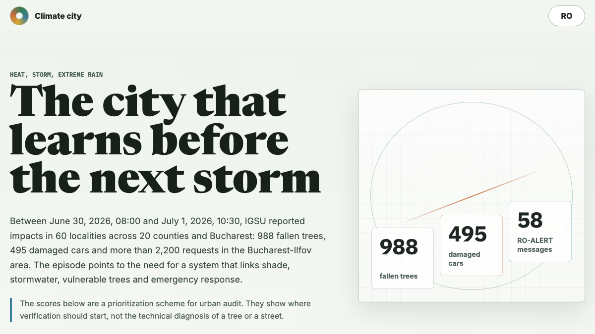
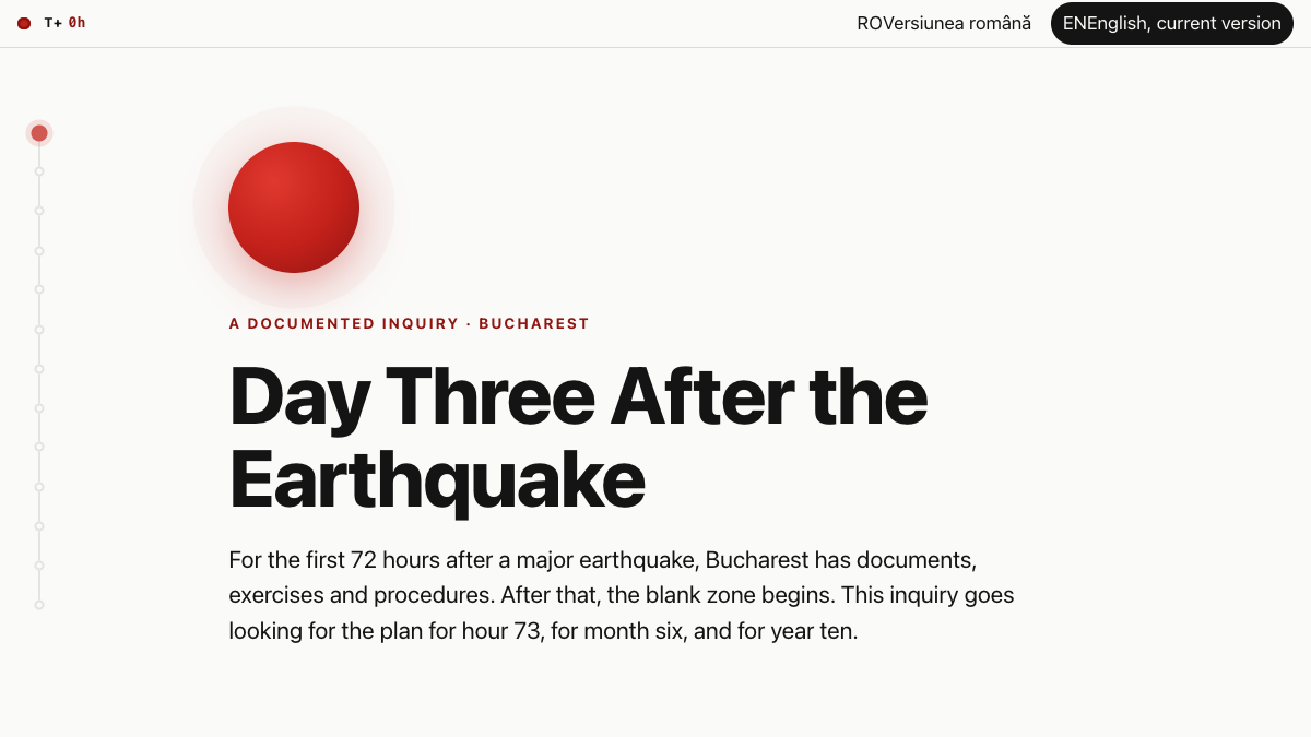
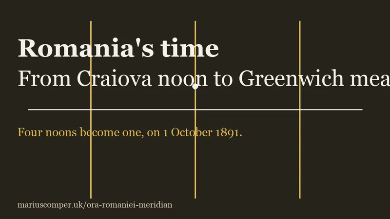
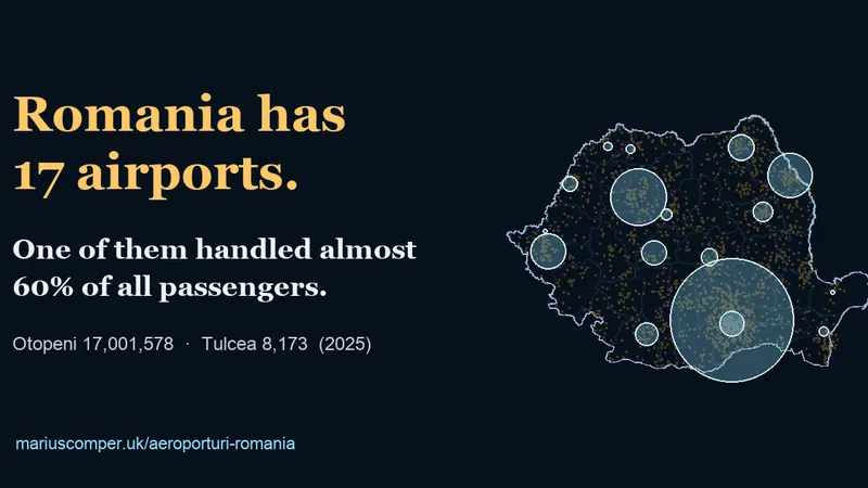
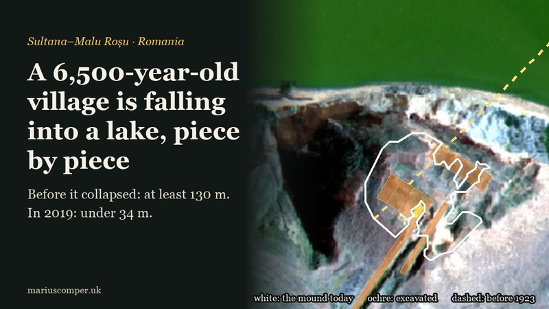
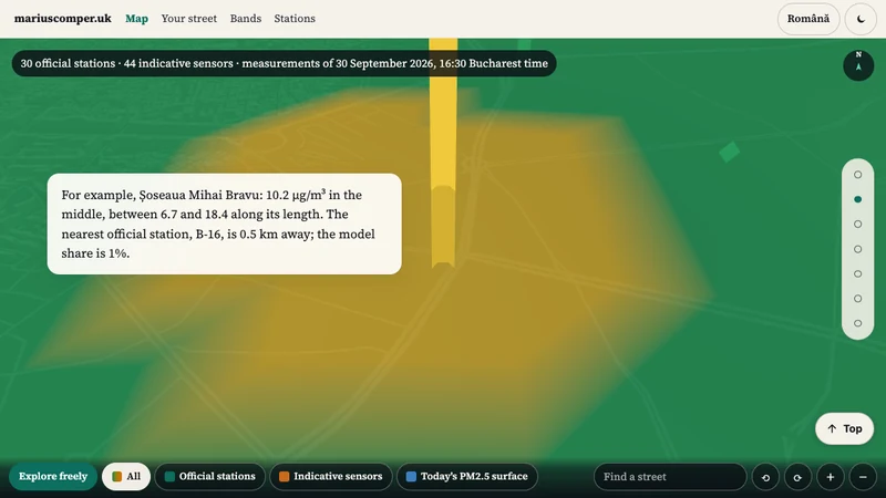
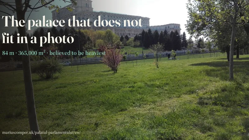
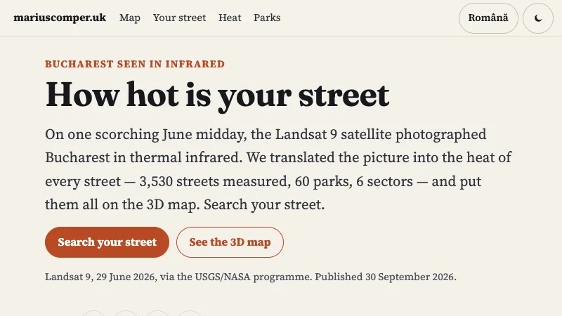
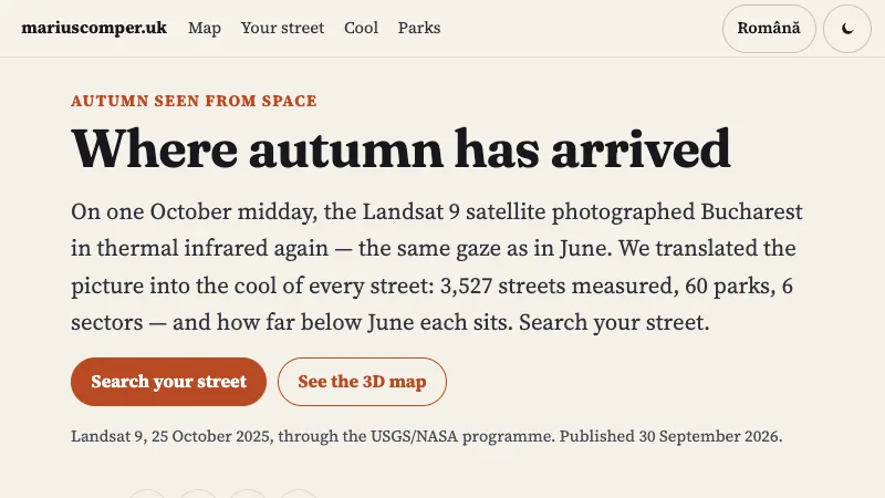
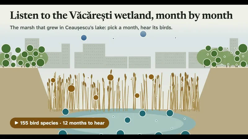
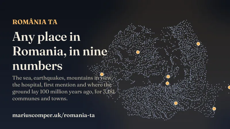
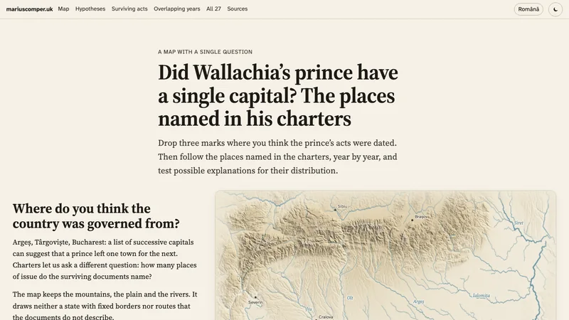
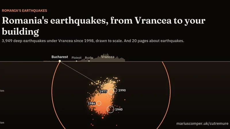
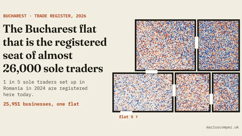
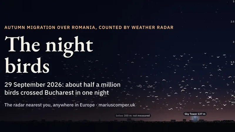
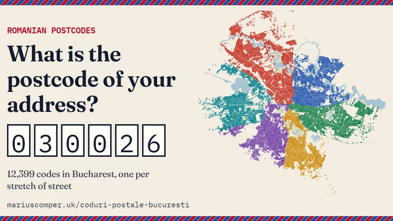
Points come from the projects’ geographical data. A circle marks a place described in a project; a diamond is a starting landmark for a project’s wider area. Several points may open the same project. Select a point to see whether its position is approximate. Each linked project explains its own dates, data and limits.
A place from the projectA starting landmark for the project’s area
The selection comes from the public catalogue. It covers Bucharest, Ilfov and places around Romania’s capital, plus tools with an explicit use for Bucharest. It is rebuilt when the catalogue is published; retired projects stay excluded.
Straight-line distances to the nearest mapped place in each project, not walking routes. These projects cover a wider area; their map reference is not assigned a distance from your address.
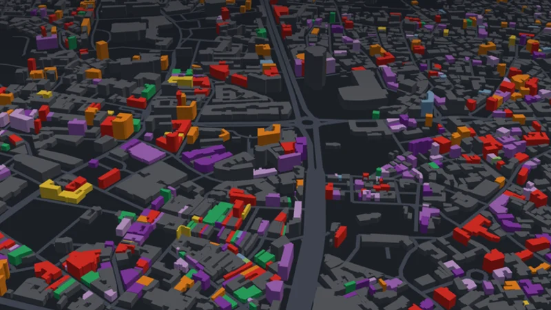
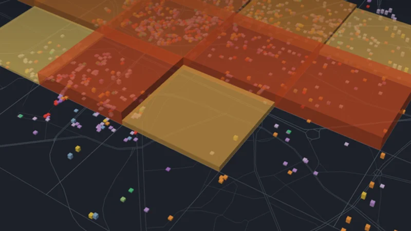
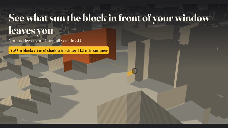
Bucharest addresses, Ilfov streets and project places. Your search address is not shared with another service. Central buildings; estimated heights. The rest of the map is flat.
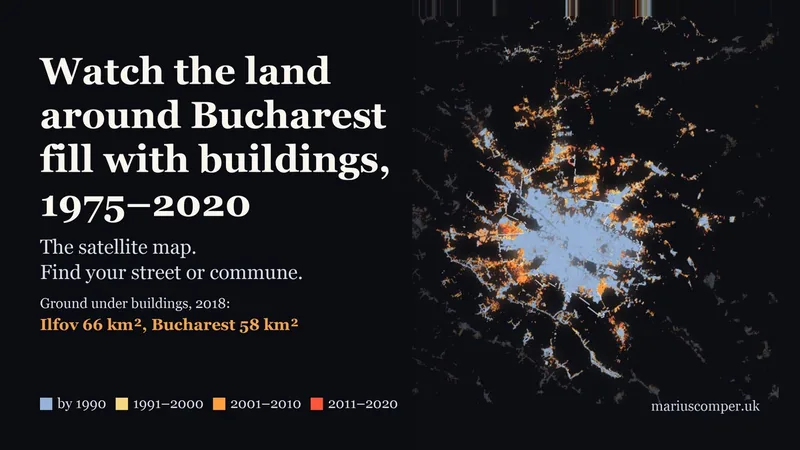
Selection updated: 10 November 2026. Map: © OpenStreetMap contributors (ODbL). Boundaries: geo-spatial.org / ANCPI (CC BY-SA 4.0). Built-up surface: JRC GHSL, 2020 (CC BY 4.0). Map licence.