Protected-area law
A natural park's buffer zone allows clear-cutting. A national park's forbids it.
“National park” and “natural park” sound like the same protection. Legally, they are not: in the buffer zone, a natural park can approve limited clear-cutting in spruce and poplar where a national park is restricted to regeneration treatments only. The rule depends on the park's type, with species and area limits set by law — and it applies only where the internal zoning rests on an approved act.
All 29, on the map
Each point is a national or natural park, coloured by the act that approved its internal zoning — the document that legally sets where cutting is allowed and where it isn't.
- plan approved
- act not identified
- act repealed
- validity possibly lapsed
Approximate positions, for orientation only — not surveyed coordinates. Click or tap a point to jump to its profile.
What the law says, zone by zone
Internal zoning of national and natural parks is set by Emergency Ordinance (OUG) 57/2007, Art. 22, in its current form — as amended by Law 49/2011, which removed one exception from the 2007 text and changed the approval chain for those that remain.
Four zones, four rules. The core fact: the buffer zone isn't one rule but two — one for national parks, one for natural parks, and clear-cutting is one difference between them.
Strict protection zone
Covers both scientific reserves and untouched wilderness. All human activity is forbidden except research, ecological education and ecotourism, within the management plan's limits. The law provides no logging exception here.
Full protection zone
Outside scientific-reserve perimeters: as a rule, all resource extraction is forbidden; so is construction, except for park administration, research, national security, or disaster prevention. The law also permits, specifically, ecological reconstruction, removing the effects of a disaster, and — separately — evacuating wood to control an already-active pest outbreak, each only with the administration's clearance, based on the scientific council's decision, and with the central authority's approval. The 2007 habitat-maintenance exception (former para. 6, item e) was repealed in 2011 and no longer exists in the law.
The buffer zone — two rules, not one
In national parks: the sustainable-conservation zone
Only forestry treatments that promote natural regeneration are allowed — selective and shelterwood cuts, and progressive cuts with a minimum 10-year regeneration period. Clear-cutting is not permitted. The same approval chain as above still allows removing disaster effects and, separately, evacuating wood beyond the forest-management plan's quotas during pest-prevention work. For these pest-prevention actions specifically, the law names the park administration's own clearance in the chain — the equivalent rule in a natural park's buffer zone does not name it.
In natural parks: the sustainable-management zone
The same regeneration treatments, similar rules for disasters and pests — plus, explicitly, small-plot clear-cuts in Euro-American poplar and clear-cuts up to 1 hectare in spruce. Clear-cutting is one difference between the two buffer zones, and on its own it shows why “protected park” doesn't mean the same rule everywhere.
Since 2011, both buffer-zone types forbid new construction, except for park administration, research, national security, or disaster prevention.
Sustainable human-development zone
The most permissive zone: clear-cuts up to 1 hectare in spruce and small plots in Euro-American poplar, hunting (natural parks only), traditional farming, fishing, and, since 2011, even construction/investment, with the administration's clearance and approved urban plans.
Source: OUG 57/2007, Art. 22, consolidated with the amendments from Law 49/2011 — legislatie.just.ro. The 2007 original is no longer in force on these paragraphs.
All 29, one by one
For every park: a photo, trails, and practical visiting information — then, below, who administers it and which legal act approved its most recent zoning, or exactly what is missing.
29 of 29 parks
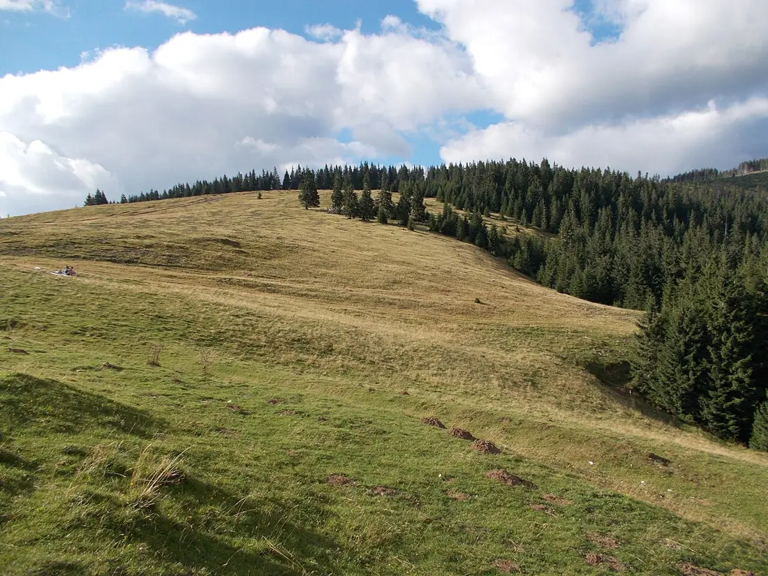 Apuseni natural park
plan approved
One of Romania's most complex karst landscapes: sinkholes (Lumea Pierdută), collapsed dolines (Cetățile Ponorului), sinkholes and emblematic caves — Scărișoara, with the largest known underground glacier in the area, Urșilor, and Ciur Izbuc. Won the EDEN 2009 award for excellence in tourism.
Apuseni natural park
plan approved
One of Romania's most complex karst landscapes: sinkholes (Lumea Pierdută), collapsed dolines (Cetățile Ponorului), sinkholes and emblematic caves — Scărișoara, with the largest known underground glacier in the area, Urșilor, and Ciur Izbuc. Won the EDEN 2009 award for excellence in tourism.
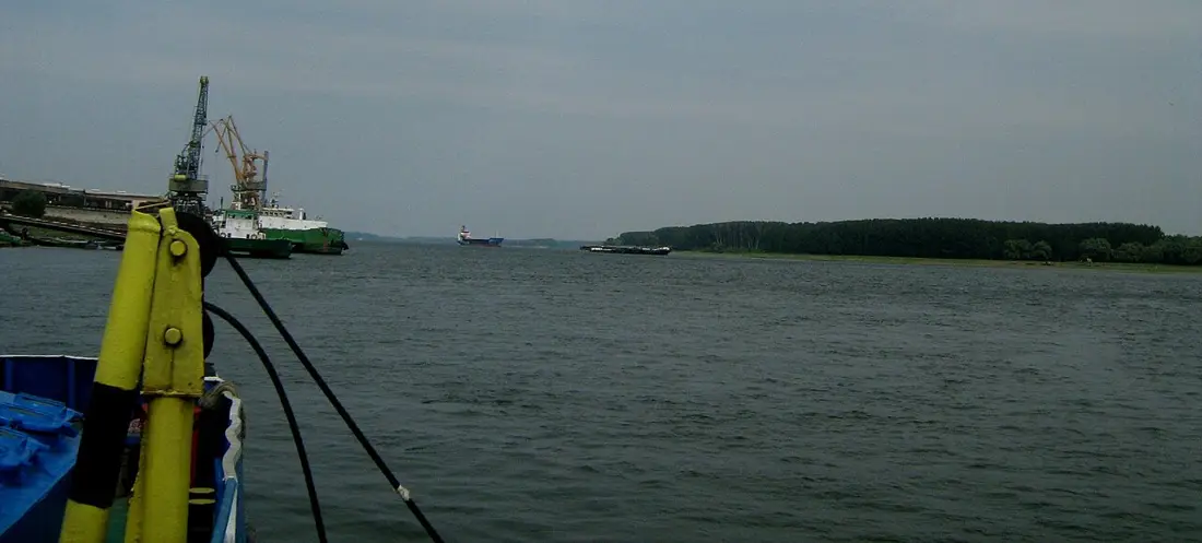 Balta Mică a Brăilei natural park
plan approved
One of the last stretches of free-flowing Danube in Europe, a Ramsar site since 2001, with over 200 bird species — roughly 70% of the Danube Delta's avian diversity, on an area 25 times smaller. The visitor centre, unique in Romania, is built on a floating pontoon.
Balta Mică a Brăilei natural park
plan approved
One of the last stretches of free-flowing Danube in Europe, a Ramsar site since 2001, with over 200 bird species — roughly 70% of the Danube Delta's avian diversity, on an area 25 times smaller. The visitor centre, unique in Romania, is built on a floating pontoon.
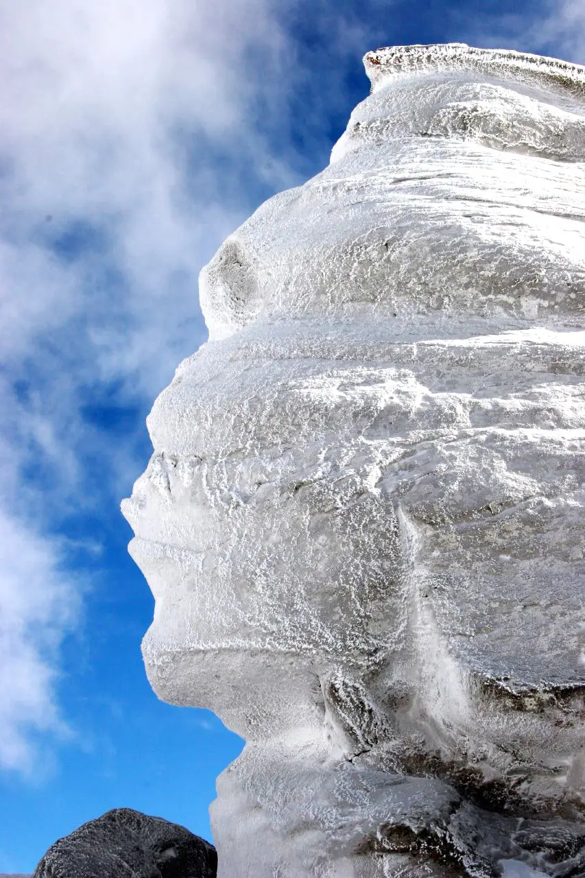 Bucegi natural park
plan approved
A high plateau (800–2,505 m) with the Babele and Sphinx rock formations, Ialomița Cave, and Urlătoarea waterfall. Access from Sinaia, Bușteni, Azuga, Predeal, Bran or Râșnov makes the plateau one of Romania's most visited mountain areas.
Bucegi natural park
plan approved
A high plateau (800–2,505 m) with the Babele and Sphinx rock formations, Ialomița Cave, and Urlătoarea waterfall. Access from Sinaia, Bușteni, Azuga, Predeal, Bran or Râșnov makes the plateau one of Romania's most visited mountain areas.
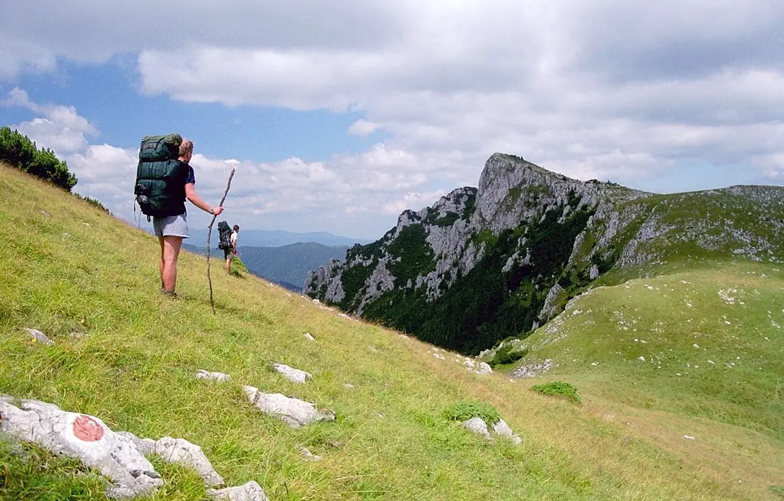 Buila–Vânturărița national park
plan approved
Romania's smallest national park by area, but with a spectacular karst landscape — limestone ridges, towers, spires — topped by Vânturărița Mare peak (1,885 m). Bistrița Gorge shelters the Cave of St. Grigore Decapolitul, a historic monument with a protected bat colony.
Buila–Vânturărița national park
plan approved
Romania's smallest national park by area, but with a spectacular karst landscape — limestone ridges, towers, spires — topped by Vânturărița Mare peak (1,885 m). Bistrița Gorge shelters the Cave of St. Grigore Decapolitul, a historic monument with a protected bat colony.
 Ceahlău national park
plan approved
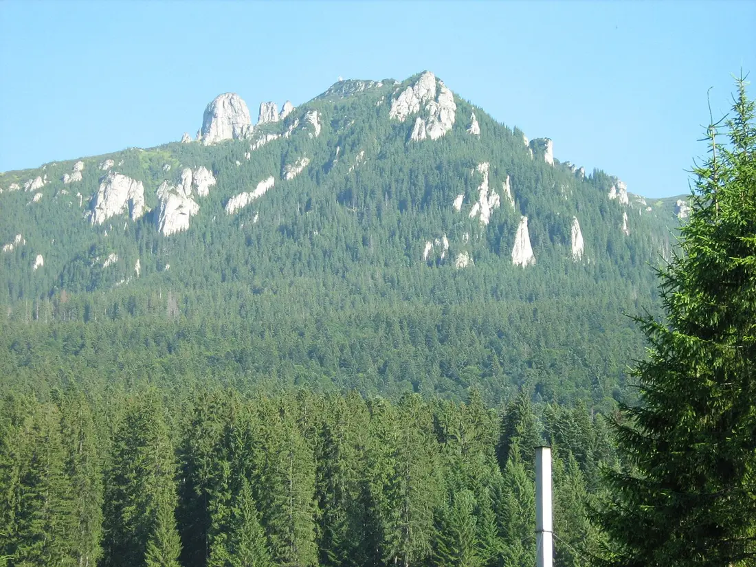
One of the most symbolic massifs of the Eastern Carpathians, with dramatic rocky ridges — Toaca, Panaghia, Detunatele — and the Duruitoarea waterfall. Ocolașul Mare peak (1,907 m), the highest, sits inside a strictly protected scientific reserve, visitable only with a ranger, in groups of up to 9.
Ceahlău national park
plan approved
One of the most symbolic massifs of the Eastern Carpathians, with dramatic rocky ridges — Toaca, Panaghia, Detunatele — and the Duruitoarea waterfall. Ocolașul Mare peak (1,907 m), the highest, sits inside a strictly protected scientific reserve, visitable only with a ranger, in groups of up to 9.
 Cefa natural park
act not identified
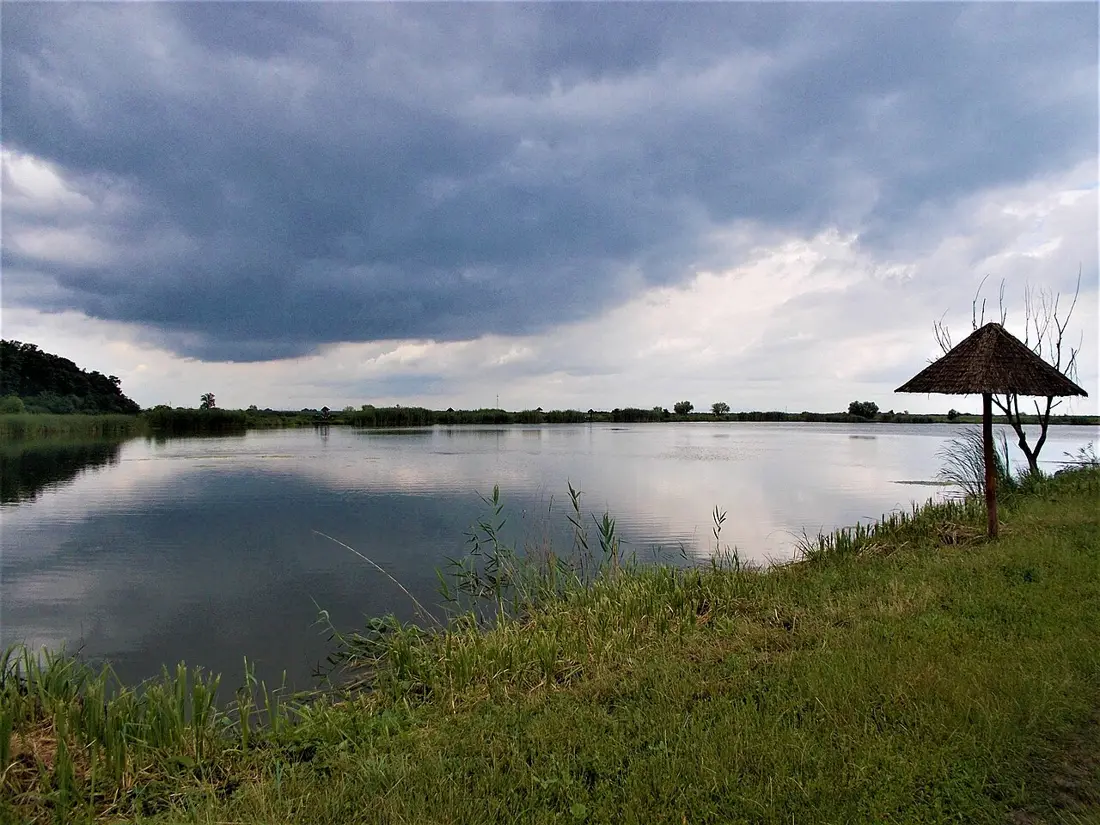
Nicknamed "Bihor's Delta" — a wetland of international importance on the Pannonian-Balkan migration corridor, with over 1,300 species, a site for spotting great bustard and ferruginous duck.
Cefa natural park
act not identified
Nicknamed "Bihor's Delta" — a wetland of international importance on the Pannonian-Balkan migration corridor, with over 1,300 species, a site for spotting great bustard and ferruginous duck.
 Cheile Bicazului–Hășmaș national park
plan approved
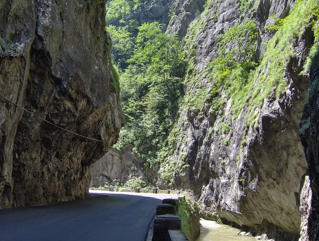
Bicaz Gorge, one of Romania's most spectacular limestone canyons, with vertical walls over 300 m and the Piatra Altarului landmark, alongside the Hășmaș massif with karst caves like Licoș. Lacu Roșu, a natural landslide-dammed lake, is the starting point for most of the park's 18 marked trails.
Cheile Bicazului–Hășmaș national park
plan approved
Bicaz Gorge, one of Romania's most spectacular limestone canyons, with vertical walls over 300 m and the Piatra Altarului landmark, alongside the Hășmaș massif with karst caves like Licoș. Lacu Roșu, a natural landslide-dammed lake, is the starting point for most of the park's 18 marked trails.
 Cheile Nerei–Beușnița national park
plan approved
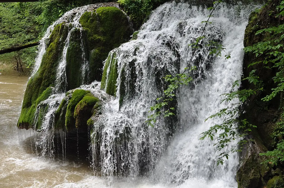
A gorge carved by the Nera river over roughly 22 km, alongside Lacul Dracului, the karst lake Ochiul Beiului, and the Beușnița, Șușara and Moceriș waterfalls. Bigăr Falls was known for a moss-covered rock "mushroom" shape, with a thin, even sheet of water falling across its whole width — once called one of the world's most spectacular waterfalls by international press — but part of the waterfall's rock wall collapsed on 7 June 2021, changing its appearance from older photographs — including the one above.
Cheile Nerei–Beușnița national park
plan approved
A gorge carved by the Nera river over roughly 22 km, alongside Lacul Dracului, the karst lake Ochiul Beiului, and the Beușnița, Șușara and Moceriș waterfalls. Bigăr Falls was known for a moss-covered rock "mushroom" shape, with a thin, even sheet of water falling across its whole width — once called one of the world's most spectacular waterfalls by international press — but part of the waterfall's rock wall collapsed on 7 June 2021, changing its appearance from older photographs — including the one above.
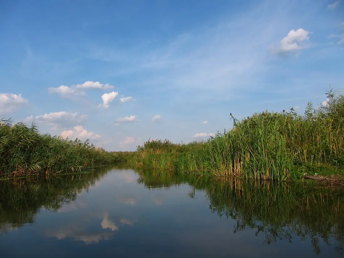 Comana natural park
plan approved
Romania's third-largest wetland, with 212 bird species, Lake Comana, and Comana Monastery (1462, linked to Vlad the Impaler). Ten marked trails, totalling 56 km, mostly through forest.
Comana natural park
plan approved
Romania's third-largest wetland, with 212 bird species, Lake Comana, and Comana Monastery (1462, linked to Vlad the Impaler). Ten marked trails, totalling 56 km, mostly through forest.
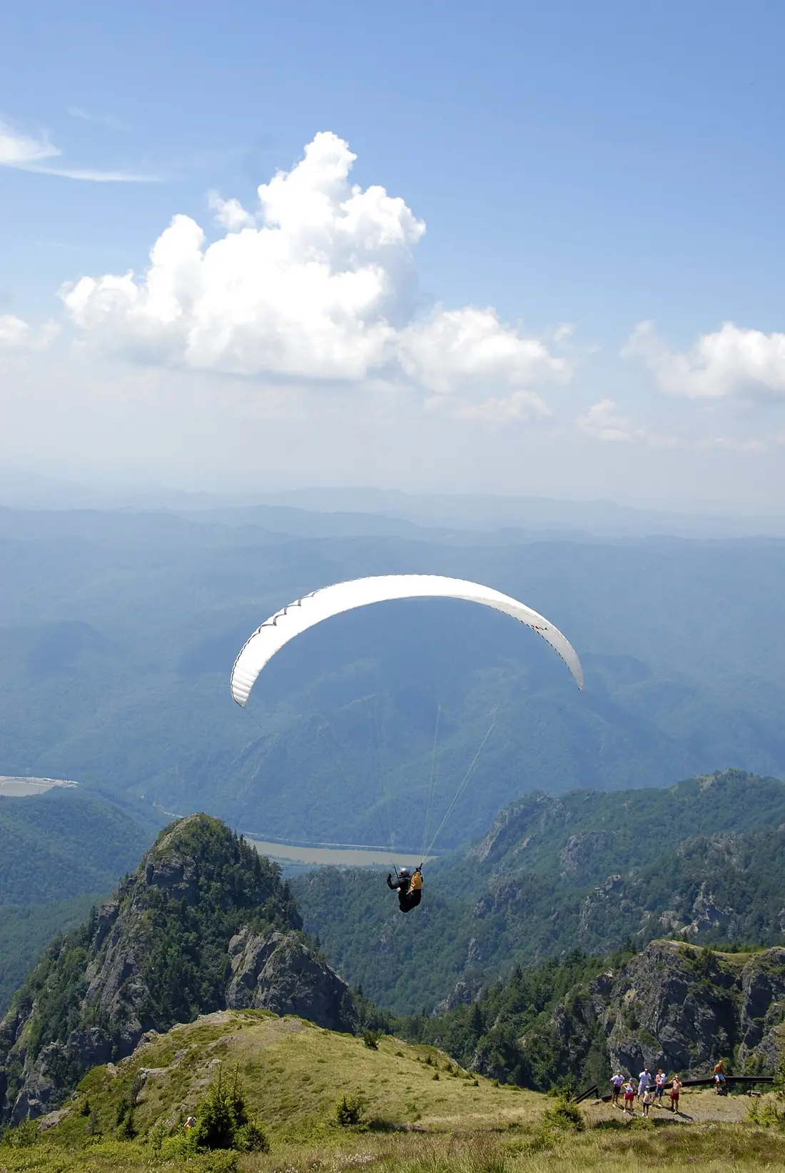 Cozia national park
plan approved
A relatively low limestone-and-crystalline massif (Cozia peak, 1,668 m), but with a sub-Mediterranean climate rare for the Carpathians and views over the Olt gorge. It combines ridge trails with spiritual landmarks — Cozia Monastery, founded by Mircea the Elder — and natural ones, like Lotrișor waterfall.
Cozia national park
plan approved
A relatively low limestone-and-crystalline massif (Cozia peak, 1,668 m), but with a sub-Mediterranean climate rare for the Carpathians and views over the Olt gorge. It combines ridge trails with spiritual landmarks — Cozia Monastery, founded by Mircea the Elder — and natural ones, like Lotrișor waterfall.
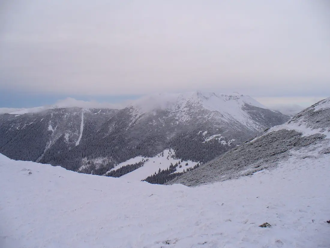 Călimani national park
plan approved
The most extensive volcanic massif in the Carpathians, with Pietrosul Călimani peak (2,100 m) — Romania's highest volcanic summit — and the "12 Apostles" reserve, eroded volcanic rock columns on the rim of an old caldera. It holds the country's largest expanse of dwarf-pine scrub.
Călimani national park
plan approved
The most extensive volcanic massif in the Carpathians, with Pietrosul Călimani peak (2,100 m) — Romania's highest volcanic summit — and the "12 Apostles" reserve, eroded volcanic rock columns on the rim of an old caldera. It holds the country's largest expanse of dwarf-pine scrub.
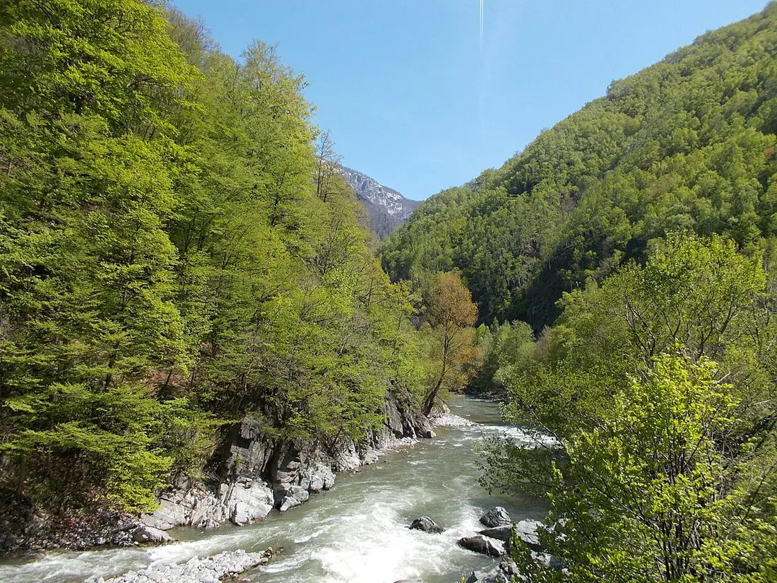 Defileul Jiului national park
plan approved
A gorge cut by the Jiu river between the Vâlcan and Parâng mountains, with the "Sphinx of Lainici" rock formation. Over 80% beech and oak forest, bear, lynx, otter; nearby, Lainici Monastery (1817) and Bolii Cave, known for its concert-hall acoustics.
Defileul Jiului national park
plan approved
A gorge cut by the Jiu river between the Vâlcan and Parâng mountains, with the "Sphinx of Lainici" rock formation. Over 80% beech and oak forest, bear, lynx, otter; nearby, Lainici Monastery (1817) and Bolii Cave, known for its concert-hall acoustics.
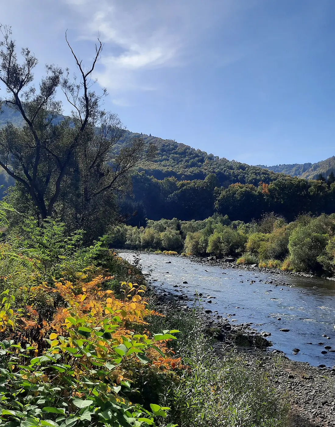 Defileul Mureșului Superior natural park
plan approved
The 33 km Deda–Toplița gorge separates the Călimani from the Gurghiu Mountains with steep walls. Rafting on the Mureș and views of the gorge from the Deda–Toplița train route are both possible.
Defileul Mureșului Superior natural park
plan approved
The 33 km Deda–Toplița gorge separates the Călimani from the Gurghiu Mountains with steep walls. Rafting on the Mureș and views of the gorge from the Deda–Toplița train route are both possible.
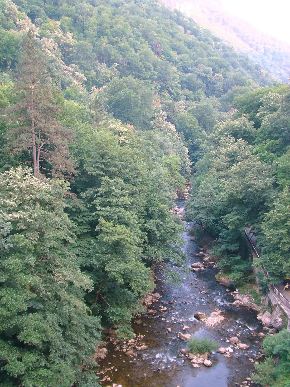 Domogled–Valea Cernei national park
plan approved
Limestone gorges, sulphurous hot springs and caves — among them Grota Haiducilor and Grota cu Aburi — in a southern-Carpathian climate that supports Mediterranean flora rare elsewhere in Romania. Băile Herculane, a spa town over 2,000 years old, sits at the park's gate.
Domogled–Valea Cernei national park
plan approved
Limestone gorges, sulphurous hot springs and caves — among them Grota Haiducilor and Grota cu Aburi — in a southern-Carpathian climate that supports Mediterranean flora rare elsewhere in Romania. Băile Herculane, a spa town over 2,000 years old, sits at the park's gate.
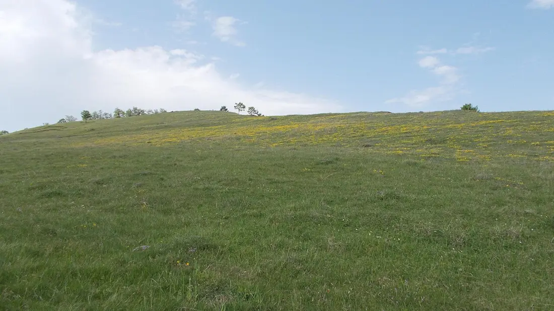 Geoparcul Dinozaurilor „Țara Hațegului” (Hațeg Country Dinosaurs Geopark) natural park
act not identified
A UNESCO Global Geopark (since 2004–2005), on the former "Hațeg Island" in the Tethys Sea, famous for the dwarf dinosaurs discovered here and for the Hatzegopteryx pterosaur. Themed visitor houses at Sânpetru, Densuș and General Berthelot.
Geoparcul Dinozaurilor „Țara Hațegului” (Hațeg Country Dinosaurs Geopark) natural park
act not identified
A UNESCO Global Geopark (since 2004–2005), on the former "Hațeg Island" in the Tethys Sea, famous for the dwarf dinosaurs discovered here and for the Hatzegopteryx pterosaur. Themed visitor houses at Sânpetru, Densuș and General Berthelot.
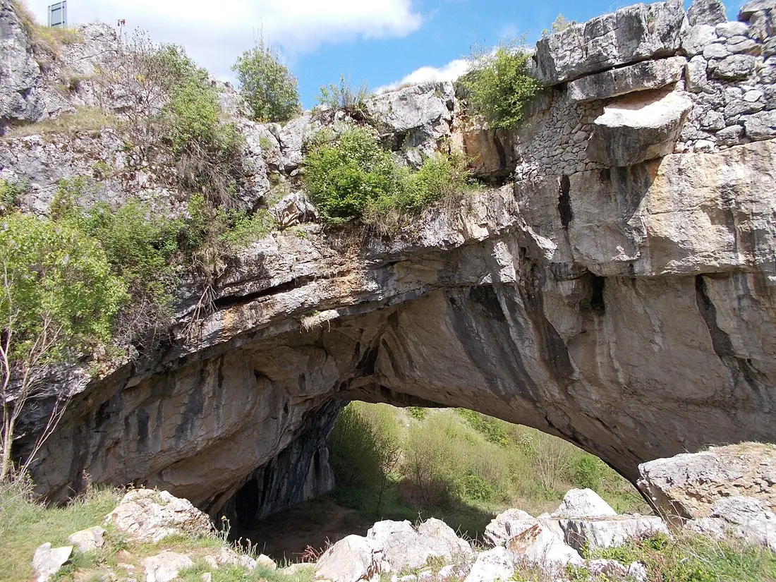 Geoparcul Platoul Mehedinți (Mehedinți Plateau Geopark) natural park
validity possibly lapsed
A geopark of over 100,000 ha, known for Topolnița Cave (Romania's second-longest) and "God's Bridge" at Ponoarele — the only natural bridge in the world open to car traffic — plus 14 bat species.
Geoparcul Platoul Mehedinți (Mehedinți Plateau Geopark) natural park
validity possibly lapsed
A geopark of over 100,000 ha, known for Topolnița Cave (Romania's second-longest) and "God's Bridge" at Ponoarele — the only natural bridge in the world open to car traffic — plus 14 bat species.
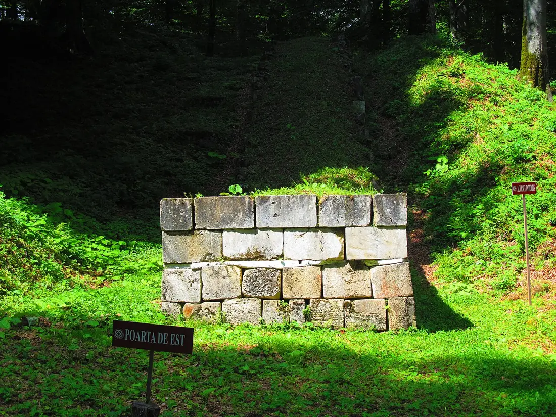 Grădiștea Muncelului–Cioclovina natural park
plan approved
UNESCO-protected Dacian fortresses — Sarmizegetusa Regia, the former religious and military capital of Dacia, alongside Blidaru, Costești and Piatra Roșie — plus the Ponorâci-Cioclovina karst complex, with a cave famous for paleontological finds.
Grădiștea Muncelului–Cioclovina natural park
plan approved
UNESCO-protected Dacian fortresses — Sarmizegetusa Regia, the former religious and military capital of Dacia, alongside Blidaru, Costești and Piatra Roșie — plus the Ponorâci-Cioclovina karst complex, with a cave famous for paleontological finds.
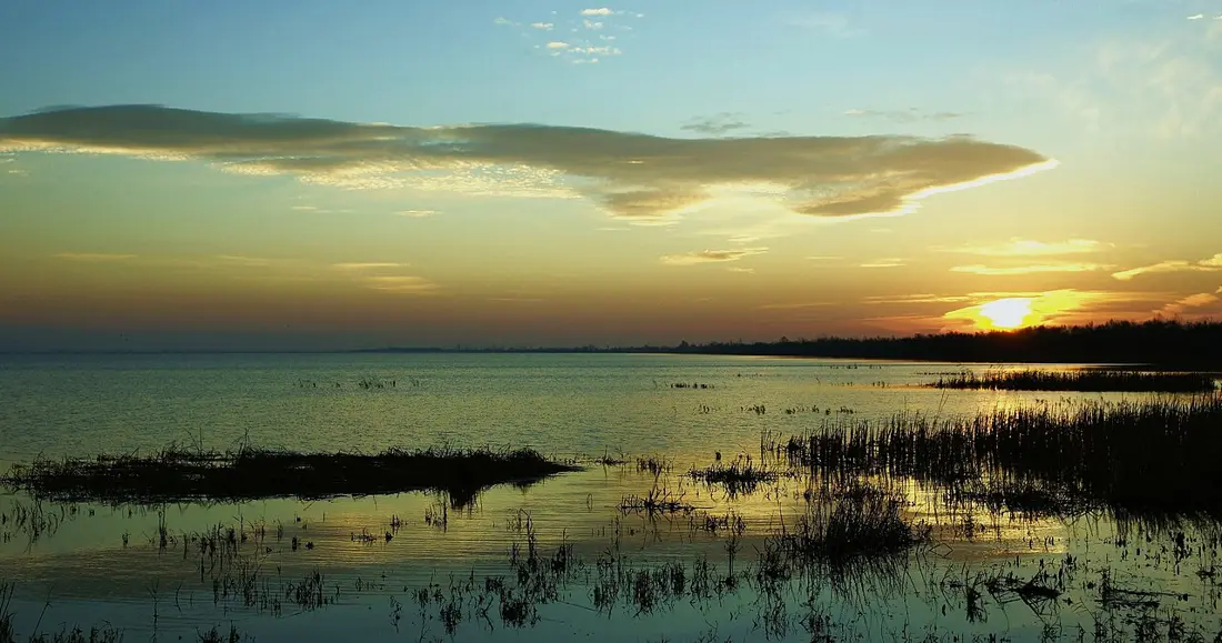 Lunca Joasă a Prutului Inferior natural park
plan approved
8,247 ha of lower Prut floodplain, with lakes Brateș, Vlădești and Pochina, and a network of 7 birdwatching towers between Galați and the Mata-Rădeanu complex.
Lunca Joasă a Prutului Inferior natural park
plan approved
8,247 ha of lower Prut floodplain, with lakes Brateș, Vlădești and Pochina, and a network of 7 birdwatching towers between Galați and the Mata-Rădeanu complex.
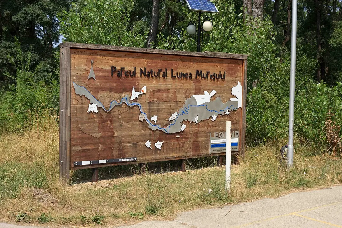 Lunca Mureșului natural park
plan approved
A leveed Mureș floodplain, a Ramsar site since 2006, with nearly 200 bird species. The Ceala Visitor Centre offers themed walking and cycling trails, plus canoe trips through backwaters and islands.
Lunca Mureșului natural park
plan approved
A leveed Mureș floodplain, a Ramsar site since 2006, with nearly 200 bird species. The Ceala Visitor Centre offers themed walking and cycling trails, plus canoe trips through backwaters and islands.
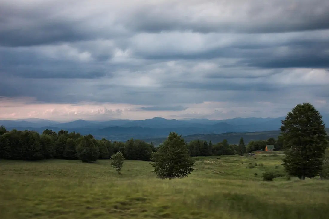 Munții Maramureșului natural park
plan approved
Romania's largest natural park (133,418 ha), with 171 km of marked trails, the capercaillie — a species rare in Romania — and the Tomnatec–Sehleanu narcissus reserve, in bloom by mid-May.
Munții Maramureșului natural park
plan approved
Romania's largest natural park (133,418 ha), with 171 km of marked trails, the capercaillie — a species rare in Romania — and the Tomnatec–Sehleanu narcissus reserve, in bloom by mid-May.
 Munții Măcinului national park
act repealed
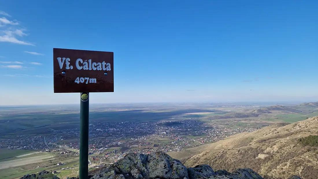
Romania's oldest mountain range, with modest peaks (Țuțuiatu/Greci, 467 m) but granite and quartzite ridges exposed by long erosion — the only national park outside the Carpathians. Silvosteppe vegetation with endemic species such as the Dobrujan bellflower.
Munții Măcinului national park
act repealed
Romania's oldest mountain range, with modest peaks (Țuțuiatu/Greci, 467 m) but granite and quartzite ridges exposed by long erosion — the only national park outside the Carpathians. Silvosteppe vegetation with endemic species such as the Dobrujan bellflower.
 Munții Rodnei national park
plan approved
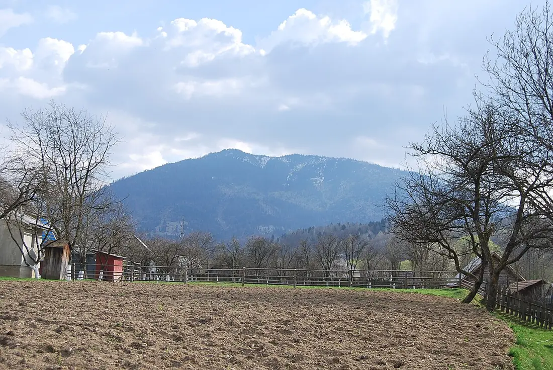
Pietrosul Rodnei peak (2,303 m), the highest in the Eastern Carpathians, with glacial lakes such as Lacul Iezer and alpine flora rich in rare or endemic species. The park is a UNESCO biosphere reserve, with one of the longest mountain ridges in the north of the country.
Munții Rodnei national park
plan approved
Pietrosul Rodnei peak (2,303 m), the highest in the Eastern Carpathians, with glacial lakes such as Lacul Iezer and alpine flora rich in rare or endemic species. The park is a UNESCO biosphere reserve, with one of the longest mountain ridges in the north of the country.
 Piatra Craiului national park
plan approved
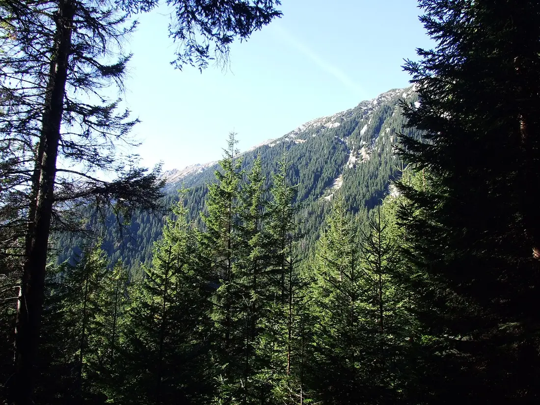
Romania's highest limestone ridge, 25 km long, with La Om peak (2,238 m) as its high point, vertical walls, and spectacular gorges — Zărnești Gorge (3.9 km) and Dâmbovicioara Gorge (2.4 km, with the 555 m cave of the same name). Home to brown bear, wolf and lynx.
Piatra Craiului national park
plan approved
Romania's highest limestone ridge, 25 km long, with La Om peak (2,238 m) as its high point, vertical walls, and spectacular gorges — Zărnești Gorge (3.9 km) and Dâmbovicioara Gorge (2.4 km, with the 555 m cave of the same name). Home to brown bear, wolf and lynx.
 Porțile de Fier natural park
plan approved
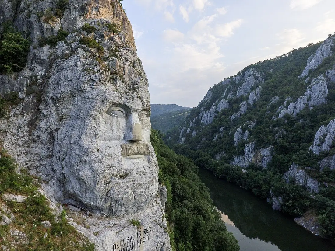
The Danube's Iron Gates gorge, with the Great and Small Cazane, where the river narrows between steep slopes. On the Romanian bank stands the Decebalus statue (40 m, completed 2005), mirroring the ancient Roman Tabula Traiana plaque on the Serbian side — the boat tour from Dubova is the most commonly used way to reach them.
Porțile de Fier natural park
plan approved
The Danube's Iron Gates gorge, with the Great and Small Cazane, where the river narrows between steep slopes. On the Romanian bank stands the Decebalus statue (40 m, completed 2005), mirroring the ancient Roman Tabula Traiana plaque on the Serbian side — the boat tour from Dubova is the most commonly used way to reach them.
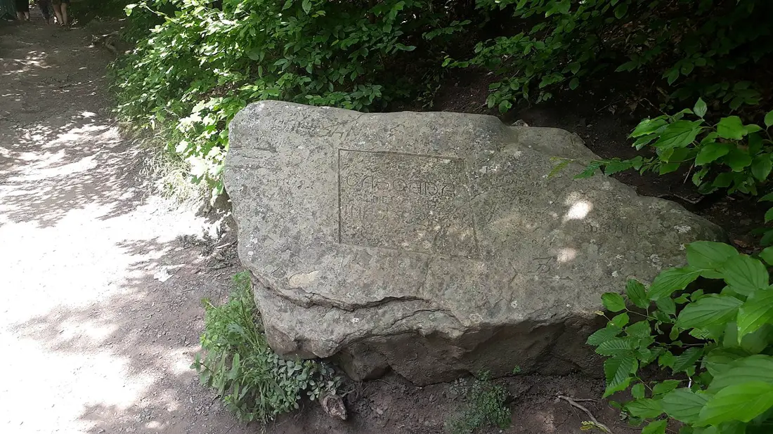 Putna–Vrancea natural park
plan approved
The "amphitheatre of the Vrancea Mountains" — ridges, virgin forests, rich wildlife — with Putna waterfall, a natural monument since 1973, as the main single landmark.
Putna–Vrancea natural park
plan approved
The "amphitheatre of the Vrancea Mountains" — ridges, virgin forests, rich wildlife — with Putna waterfall, a natural monument since 1973, as the main single landmark.
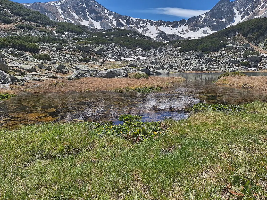 Retezat national park
plan approved
Romania's oldest national park (a scientific reserve since 1935), with over 80 glacial lakes — Bucura, the country's largest glacial lake — and Peleaga peak (2,509 m), the massif's highest point. The glacial cirques and rocky ridges around them draw thousands of hikers to the Southern Carpathians every year.
Retezat national park
plan approved
Romania's oldest national park (a scientific reserve since 1935), with over 80 glacial lakes — Bucura, the country's largest glacial lake — and Peleaga peak (2,509 m), the massif's highest point. The glacial cirques and rocky ridges around them draw thousands of hikers to the Southern Carpathians every year.
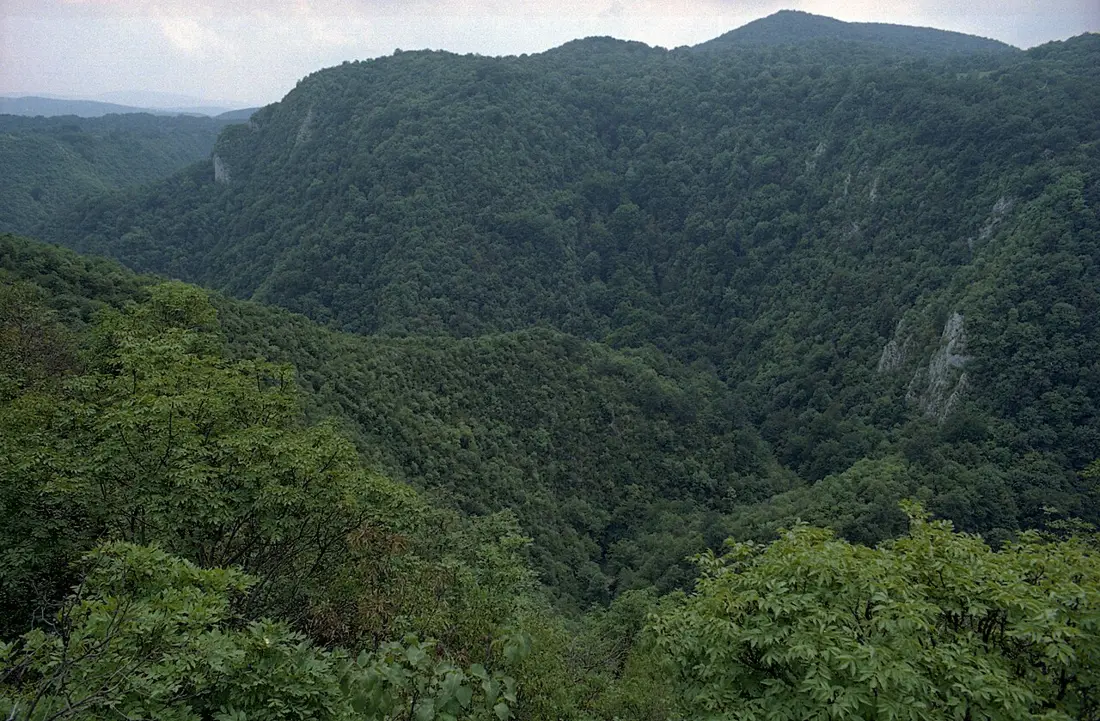 Semenic–Cheile Carașului national park
act not identified
Caraș Gorge, Comarnic Cave (with cave paintings), and one of Europe's few centuries-old beech forests, over 300 years old. The 130 km network of marked trails links the Iabalcea karst plateau to Lake Mărghitaș and Lake Buhui.
Semenic–Cheile Carașului national park
act not identified
Caraș Gorge, Comarnic Cave (with cave paintings), and one of Europe's few centuries-old beech forests, over 300 years old. The 130 km network of marked trails links the Iabalcea karst plateau to Lake Mărghitaș and Lake Buhui.
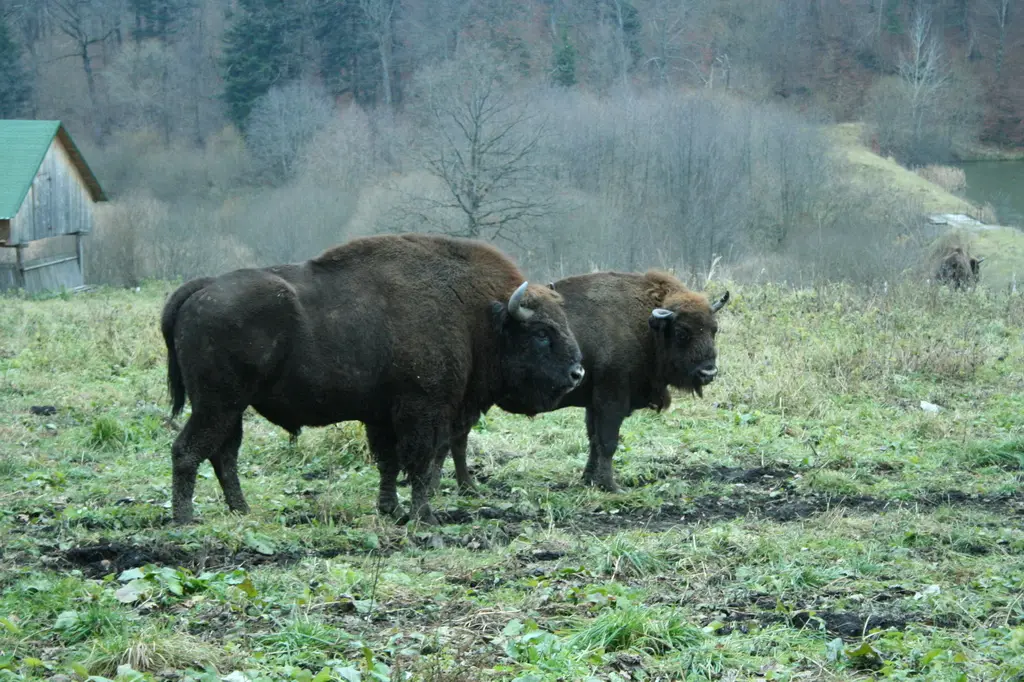 Vânători Neamț natural park
plan approved
The first place in Romania where the European bison was reintroduced to the wild, in a 180 ha acclimatization reserve. The nearly 31,000 ha park also includes Neamț Fortress and Neamț Monastery, on the UNESCO tentative list.
Vânători Neamț natural park
plan approved
The first place in Romania where the European bison was reintroduced to the wild, in a 180 ha acclimatization reserve. The nearly 31,000 ha park also includes Neamț Fortress and Neamț Monastery, on the UNESCO tentative list.
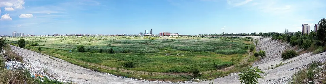 Văcărești natural park
plan approved
Nicknamed "Bucharest's delta" — an urban wetland that rewilded itself inside an unfinished communist-era dam enclosure, a rare case in Europe of a protected natural park sitting entirely inside a capital city.
Văcărești natural park
plan approved
Nicknamed "Bucharest's delta" — an urban wetland that rewilded itself inside an unfinished communist-era dam enclosure, a rare case in Europe of a protected natural park sitting entirely inside a capital city.
No park matches the selected filters.
Five parks, three different situations
For three parks, a targeted search found no approving act: Semenic–Cheile Carașului (draft order in review), Cefa Natural Park (no plan ever found, per the press sources checked), and the Hațeg Country Dinosaurs Geopark (in preparation since 2012, not due before 2027). For Munții Măcinului, the 2013 act was repealed in 2021, with no approved replacement yet — the one case with a directly sourced repeal. For Geoparcul Platoul Mehedinți, the 2016 act stated, per the cited source, a 5-year validity — possibly already past, with no renewal found. The law provides for provisional action plans in the buffer zone before a management plan takes effect; whether one exists for any of these five parks was not checked.
Sources
Legal framework
- ANANP — Ariile Naturale Protejate ale României
- Romsilva — harta parcurilor naționale și naturale administrate de Romsilva (2 iulie 2019)
- OUG nr. 57/2007 privind regimul ariilor naturale protejate, forma consolidată — Portal Legislativ
- Legea nr. 49/2011 pentru aprobarea OUG 57/2007, cu modificările aduse art. 22
One approving act per park
- Domogled–Valea Cernei: Plan de management, OM 1121/2016 — ananp.gov.ro
- Retezat: Anexă la Ordinul 2095/2024 — lege5.ro
- Cheile Nerei–Beușnița: Un nou cadru pentru viitorul parcului — WWF România
- Munții Rodnei: Ordinul 307/2019 — legislatie.just.ro
- Cheile Bicazului–Hășmaș: OMMAP 1523/2016 — legeaz.net
- Ceahlău: Ordinul 1934/2015 — lege5.ro
- Ceahlău: Administrator — ceahlaupark.ro
- Călimani: Ordinul 1681/2023 — legislatie.just.ro
- Cozia: Ordinul 1060/2017 — lege5.ro
- Piatra Craiului: Ordinul 3226/2025 — legislatie.just.ro
- Semenic–Cheile Carașului: Proiect de ordin — mmediu.ro
- Munții Măcinului: HG 977/2021 — sgg.gov.ro
- Buila–Vânturărița: Plan de management — buila.ro
- Defileul Jiului: Ordinul 845/2025 — legislatie.just.ro
- Apuseni: Ordinul 2238/2024 — legislatie.just.ro
- Bucegi: HG 187/2011 — legislatie.just.ro
- Porțile de Fier: Ordinul 244/2026 — lex24.ro
- Grădiștea Muncelului–Cioclovina: Proiect de ordin — mmediu.ro
- Balta Mică a Brăilei: Plan de management — bmb.ro
- Vânători Neamț: OMMAP 1246/2016 — legeaz.net
- Lunca Mureșului: Proiect de revizuire — mfe.gov.ro
- Lunca Joasă a Prutului Inferior: Plan de management — mmediu.ro
- Lunca Joasă a Prutului Inferior: Administrator — Wikipedia
- Comana: Ordinul 887/2022 — lege5.ro
- Munții Maramureșului: Ordinul 1157/2016 — legislatie.just.ro
- Putna–Vrancea: Ordinul 654/2021 — legislatie.just.ro
- Defileul Mureșului Superior: OMMAP 1556/2016 — ananp.gov.ro
- Cefa: Ministerul caută stăpân pentru Parcul Natural Cefa — ebihoreanul.ro
- Văcărești: Anexă la Ordinul 1363/2025 — lege5.ro
- Geoparcul Dinozaurilor „Țara Hațegului” (Hațeg Country Dinosaurs Geopark): 14 ani de așteptare pentru un plan de management — cotidianulhd.ro
- Geoparcul Platoul Mehedinți (Mehedinți Plateau Geopark): Evaluare Geoparc Platoul Mehedinți — lege5.ro