Marius Comper.

From the Black Forest to the Black Sea

Where does the Danube take us?

Explore the river through documented cities, landscapes and projects along its course, from the headwaters to the Danube Delta.

Choose a place on the map or from the list.

The Danube and its riverside townsNatural Earth map of the Danube, selected tributaries and riparian countries. Choose a town or river section to find related projects.DonaueschingenPassauLinzViennaBratislavaBudapestBelgradeBaziașDrobeta-Turnu SeverinOrșovaCernavodăBrăilaCălărașiGalațiTulceaSulina
The river and tributaries follow generalized Natural Earth lines. The source omits the Chilia branch and leaves an approximately 11 km gap before segments towards Sulina and Sfântu Gheorghe; no connectors are added. Dots mark settlements, not ports.

Projects about this stretch

Choose a town on the river

Selected place

Budapest

Middle Danube

Projects connected with this place

Search checks titles, descriptions and search terms; it does not confirm that every result takes place here.

01 / Follow the river

Upper Danube

The source and upper river

From the Black Forest, the Danube crosses several countries before reaching Vienna and Bratislava. The map follows its general course; it is not a navigation route.

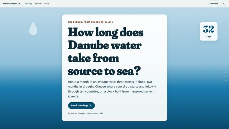
  • A drop in the Danube: source to Black Sea in about 32 days

    About a month in an average year: three weeks in flood, two months in drought. Send a drop down the Danube, from the Black Forest to Sulina, on a clock built from measured current speeds.

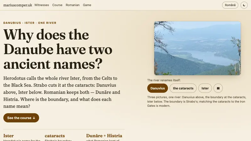
  • Why does the Danube have two ancient names?

    Herodotus calls the whole river Ister; Strabo cuts it at the cataracts, Danuvius above, Ister below. Each ancient author draws the name boundary elsewhere.

  • The longest river in Romania

    The Danube, Mureș and Olt can all be the right answer, depending on the definition: 1075 km on Romanian territory, 761 km among rivers without the fluviu, 615 km entirely inside Romania. The full twelve-river ranking, drawn to scale.
02 / Follow the river

Middle Danube

Towns on the middle Danube

Bratislava, Budapest and Belgrade mark a stretch where cities, transport and the river’s changing names meet. Choose a place to open related projects.

03 / Follow the river

Iron Gates and the Danube Gorge

The Iron Gates and gorge

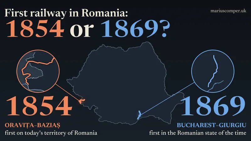
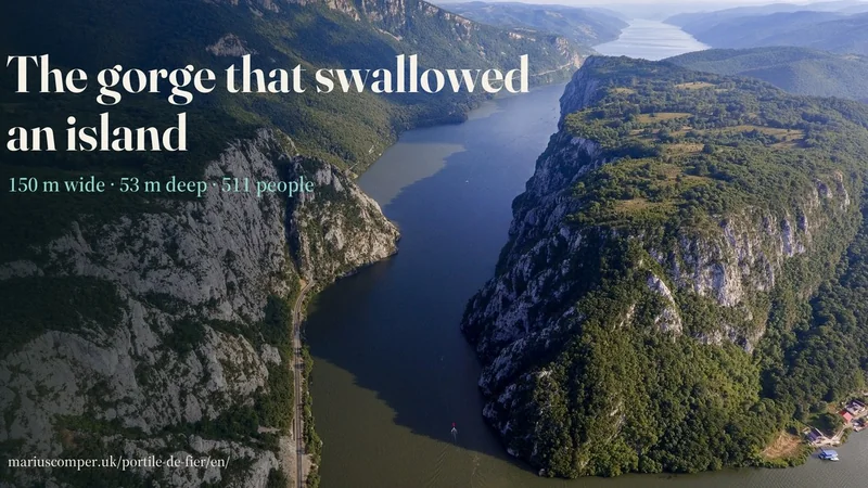
Between Baziaș and Drobeta-Turnu Severin, the river enters a gorge. Projects here explore the landscape, crossings, settlements and traces of history on both banks.

04 / Follow the river

Lower Danube

The lower Danube

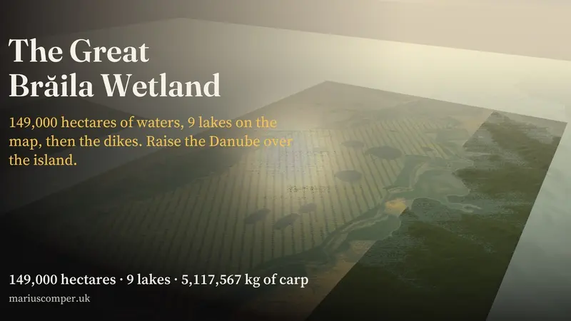
The Borcea branch, port towns and wetlands link the river with the plain and the Black Sea. Projects follow local history, farming and the ways water reaches communities.

  • The Danube at low water, 1840–2026: how often the river has been this low

    Daily Danube flow at Orșova since 1840, 183 years: between June and September no day had fallen under 1,440 m³/s. In 2026, INHGA bulletins give 1,300 in August and 1,250 in September. Enter a flow from the news and see how often the river has been that low.

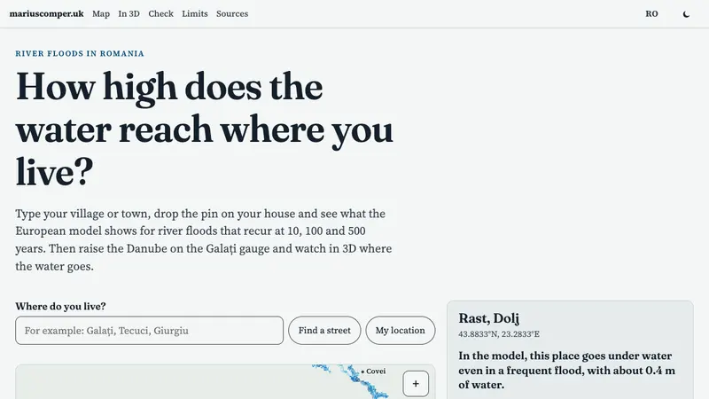
  • How high does the water reach where you live?

    Type your village or town, drop the pin on your house and see the European flood model: 10-, 100- and 500-year floods on the Danube, Siret and Prut. Then raise the Danube at the Galați gauge and watch in 3D where the water goes. In Romanian and English.

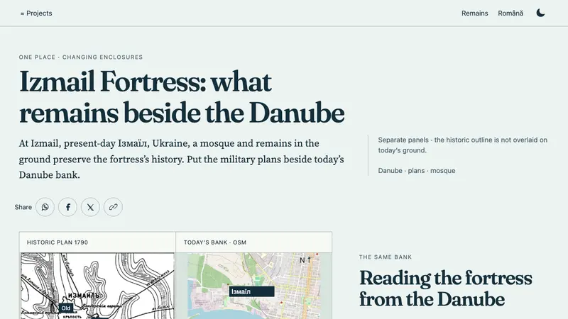
  • Izmail Fortress: what remains beside the Danube

    At Izmail on the Danube, military plans show an old fortress, a new one and a river front. Suvorov's assault of 11/22 December 1790 did not end the site's history: the defences were rebuilt, then dismantled after the 1856 peace. Set the plans beside today's traces: the mosque with its diorama and the park-museum.

  • Where was Stephen's Chilia? A port, two banks

    Stephen the Great captured Chilia in January 1465; the port passed to the Ottomans in 1484. But where was the Chilia he captured — at Chilia Veche on the Romanian bank, or at Kiliia in Ukraine? Switch banks and compare the evidence: names, finds, plans, published interpretations — no prefabricated answer.

05 / Follow the river

The Delta

The arms and the Delta

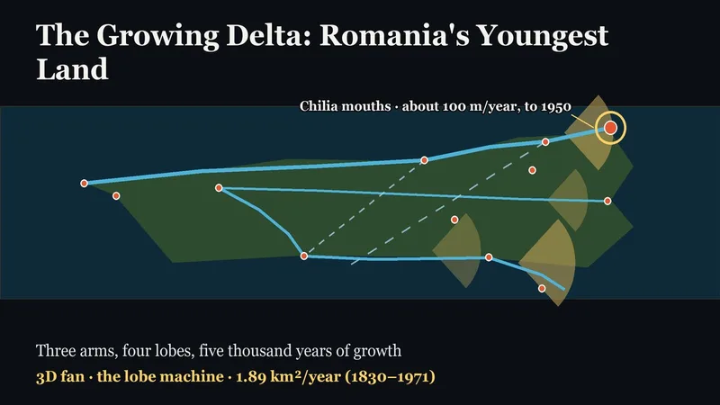
At Tulcea, the river divides into arms that flow towards the Black Sea. Choose a place to find projects about the Delta’s formation, birds and Sulina.

Browse every Danube project

The Danube, source to sea · 37 projects

The complete collection

Projects with a direct geographic, historical or hydrological connection to the Danube and its regions.

About the collection

The river and tributaries are redrawn from Natural Earth. City points start from the Danube atlas and SIRUTA-linked locality points; for Sulina, the atlas marker fell about 8 km east of town, so the independently checked locality point is used. Markers show settlements, not ports or places to moor. Chapters and filters group projects by documented place or subject. This is not a navigation chart.

Reviewed · Collection as text

Sources