Marius Comper.

GEOLOGY · LANDSCAPE · TIME

How old are Earth’s traces?

Switch between hundreds of millions and tens of thousands of years. Each marker keeps its source’s range and precision and opens the project that documents it.

Choose a trace. See its age, range and the project that documents it.

LONG VIEW

From ancient mountains to an impact

The linear axis starts at 541 Ma as a display limit. The current base of the Cambrian and Phanerozoic is 538.8 ± 0.6 Ma; 541 Ma is not the formal boundary.
541 Ma300 Ma100 Ma0 Ma
70 million years agoMa

GEOLOGICAL SCALE · MILLION YEARS

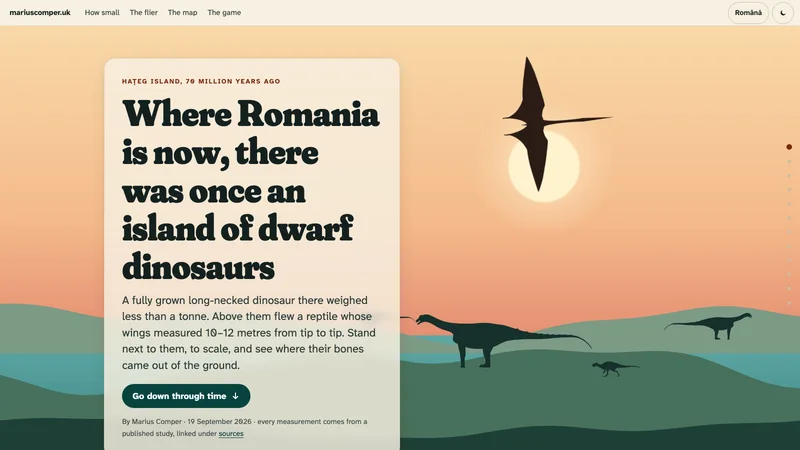
Hațeg was an island

The project places Hațeg Island in the Late Cretaceous, 70 million years ago.

Project in the collection

The dinosaurs of Romania: Hațeg Island, to scale

Seventy million years ago Hațeg was an island. A fully grown long-necked dinosaur there weighed under a tonne, and a reptile with 10–12 metre wings flew overhead. Stand next to them, to scale, and see on the map where the bones came from.

RECENT DETAIL

Caves, volcanoes, ice and shores

A separate scale in thousands of years. It does not continue the million-year axis visually; comparisons between scales are in the labels, not point positions.

40 ka30 ka20 ka10 ka0 ka
10,000–7,000 years agoka

RECENT SCALE · THOUSANDS OF YEARS

Doggerland is inundated

The project dates the gradual flooding of the North Sea landscape between 10,000 and 7,000 years ago.

Project in the collection

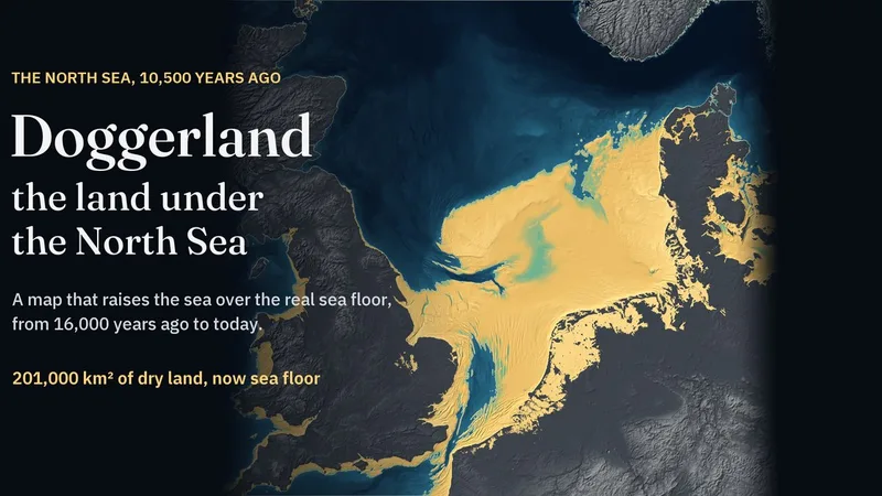
Doggerland map: the land under the North Sea, drowned between 10,000 and 7,000 years ago

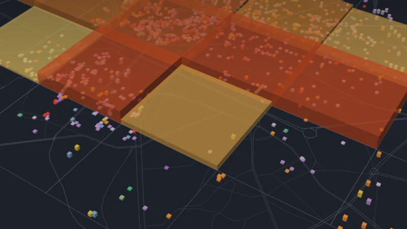
Doggerland joined Britain to Denmark and the Netherlands until the sea drowned it. A relief map of today’s sea floor, with 1,873 river channels, lakes and other features mapped beneath it, and the computed shore of any moment since 16,000 years ago. For each North Sea town, it shows how far away the shore was 10,500 years ago.

GEOLOGICAL TIME BOUNDARIES

Where does this sit in Earth history?

These intervals provide context. The event scales above begin separately; they do not compress billions of years into one chart.

Hadean4,567.3 ± 0.16–4,031 ± 3 Ma

The Hadean begins at a GSSA of 4,567.3 ± 0.16 Ma, dated from CAIs in primitive meteorites. It marks the age of the Solar System and the start of planet formation, not a direct measurement of Earth’s age.

Archean4,031 ± 3–2,500 Ma

From about 4.031 to 2.500 billion years ago. The selected collection has no dated local event from this eon.

Proterozoic2,500–538.8 ± 0.6 Ma

From 2.500 billion to 538.8 million years ago. This interval is longer than the whole history of complex life visible in the fossil record.

Phanerozoic538.8 ± 0.6–0 Ma

The last 538.8 million years, divided into the Paleozoic, Mesozoic and Cenozoic. The events selected from projects occupy only part of this interval.

Project in the collection

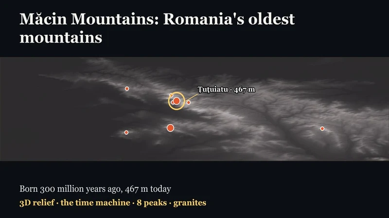
Măcin Mountains: Romania's oldest mountains

Born some three hundred million years ago, before dinosaurs and before the Carpathians, 467 m today. Fly over the 3D relief, climb the eight peaks and rewind time: the Triassic sea, the Cretaceous sea, the emersion. In Romanian and English.

Project in the collection

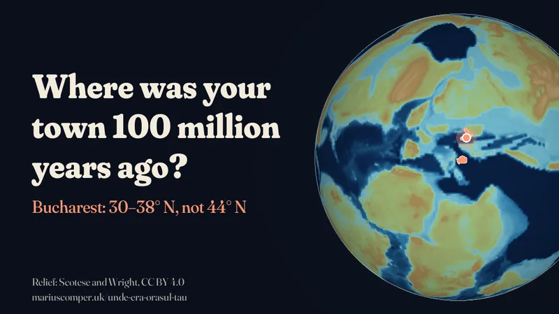
Where was your town 100 million years ago?

Choose a Romanian place and compare the position of the ground beneath it in three published plate-reconstruction models. Differences between the models remain visible.

Project in the collection

The dinosaurs of Romania: Hațeg Island, to scale

Seventy million years ago Hațeg was an island. A fully grown long-necked dinosaur there weighed under a tonne, and a reptile with 10–12 metre wings flew overhead. Stand next to them, to scale, and see on the map where the bones came from.

Project in the collection

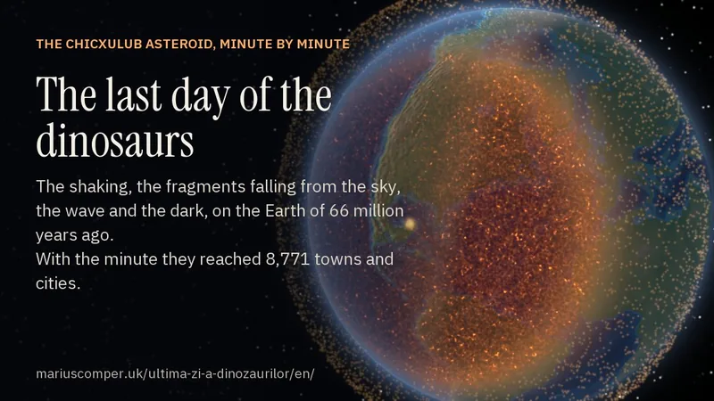
The last day of the dinosaurs: the Chicxulub asteroid, minute by minute

The impact of 66 million years ago on one clock, on the globe as it then was: the shaking, the fragments falling back from the crater, the wave, the years of dark. The rock beneath London was about 6,500 km from the impact; the first tremor reached it after 9 minutes 57 seconds. With the times for 8,771 towns and cities. In Romanian and English.

01

Separate scales for different spans

The 541 Ma axis is a display window, not the formal start of the Phanerozoic. A second axis enlarges the last 40,000 years for caves, ice and shorelines.

Project in the collection

Măcin Mountains: Romania's oldest mountains

Born some three hundred million years ago, before dinosaurs and before the Carpathians, 467 m today. Fly over the 3D relief, climb the eight peaks and rewind time: the Triassic sea, the Cretaceous sea, the emersion. In Romanian and English.

Project in the collection

Doggerland map: the land under the North Sea, drowned between 10,000 and 7,000 years ago

Doggerland joined Britain to Denmark and the Netherlands until the sea drowned it. A relief map of today’s sea floor, with 1,873 river channels, lakes and other features mapped beneath it, and the computed shore of any moment since 16,000 years ago. For each North Sea town, it shows how far away the shore was 10,500 years ago.

02

Rock has a history, not a legend

Trovants do not grow at the rate repeated in folklore; Măcin and Ciomadul have different ages supported by different research. Open each project for the source and dating method.

Project in the collection

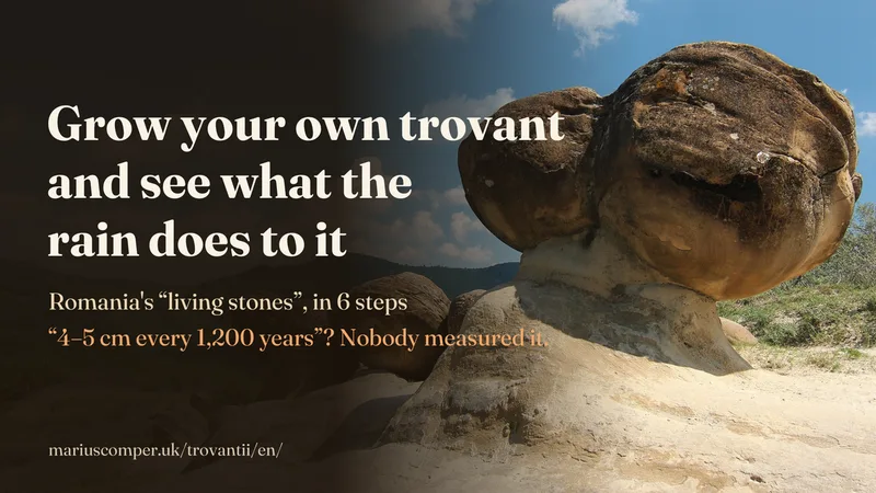
The trovants of Costești: do Romania's “growing stones” grow after rain?

The round stones of Costești formed underground from sand glued by calcite, and they do not grow after rain: rain only washes the sand from around them. Grow a trovant in a slice of hillside, make it rain and see what changes. Nobody ever measured the “4–5 cm every 1,200 years”. English and Romanian.

Project in the collection

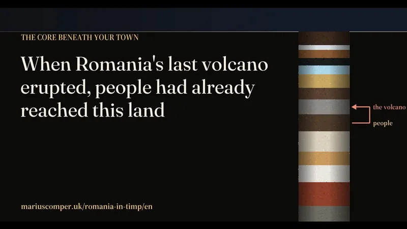
Ciomadul, Romania’s “extinct” volcano, to scale

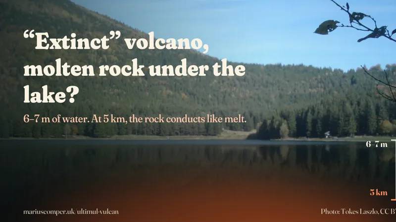
Ciomadul last erupted 27,000–32,000 years ago, and “extinct” only means 10,000 quiet years. Put the crater, the lake and your own town on one scale drawing, descend to the partly molten rock and see who says what about the volcano.

Project in the collection

Măcin Mountains: Romania's oldest mountains

Born some three hundred million years ago, before dinosaurs and before the Carpathians, 467 m today. Fly over the 3D relief, climb the eight peaks and rewind time: the Triassic sea, the Cretaceous sea, the emersion. In Romanian and English.

03

Water redraws land

The landslide that formed Red Lake, the ice at Scărișoara and the waters that covered Doggerland are different processes. The timeline shows each source’s interval, not one shared cause.

Project in the collection

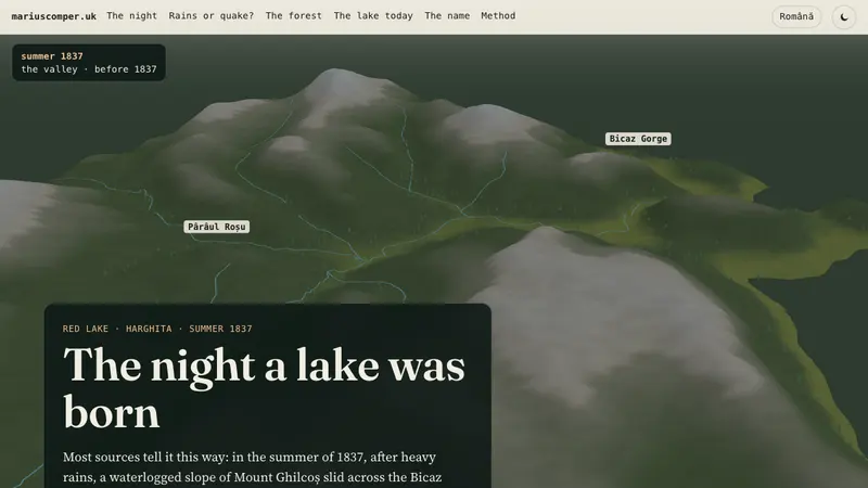
The night a lake was born

In the summer of 1837, a slope of Mount Ghilcoș slid across the Bicaz valley and created Red Lake, with its drowned fir forest. Replay the night of the slide on the real valley, in 3D, and weigh the evidence: the rains of 1837 or the earthquake of 1838? In Romanian and English.

Project in the collection

Doggerland map: the land under the North Sea, drowned between 10,000 and 7,000 years ago

Doggerland joined Britain to Denmark and the Netherlands until the sea drowned it. A relief map of today’s sea floor, with 1,873 river channels, lakes and other features mapped beneath it, and the computed shore of any moment since 16,000 years ago. For each North Sea town, it shows how far away the shore was 10,500 years ago.

04

Not every age has the same precision

Some projects give a rounded age, others a range or only a minimum age. The tool keeps those forms and does not turn an estimate into an exact date.

Project in the collection

The last day of the dinosaurs: the Chicxulub asteroid, minute by minute

The impact of 66 million years ago on one clock, on the globe as it then was: the shaking, the fragments falling back from the crater, the wave, the years of dark. The rock beneath London was about 6,500 km from the impact; the first tremor reached it after 9 minutes 57 seconds. With the times for 8,771 towns and cities. In Romanian and English.

Project in the collection

Ciomadul, Romania’s “extinct” volcano, to scale

Ciomadul last erupted 27,000–32,000 years ago, and “extinct” only means 10,000 quiet years. Put the crater, the lake and your own town on one scale drawing, descend to the partly molten rock and see who says what about the volcano.

Geology · 49 projects

The complete collection

Search titles, descriptions and topic terms, or choose a theme.

About the collection

This collection brings together relevant projects from the site’s library. Each entry has a title, a description and a link to its available edition. The complete projects carry their sources and evidence limits.

Reviewed · Collection as text

Sources