Project with a named place
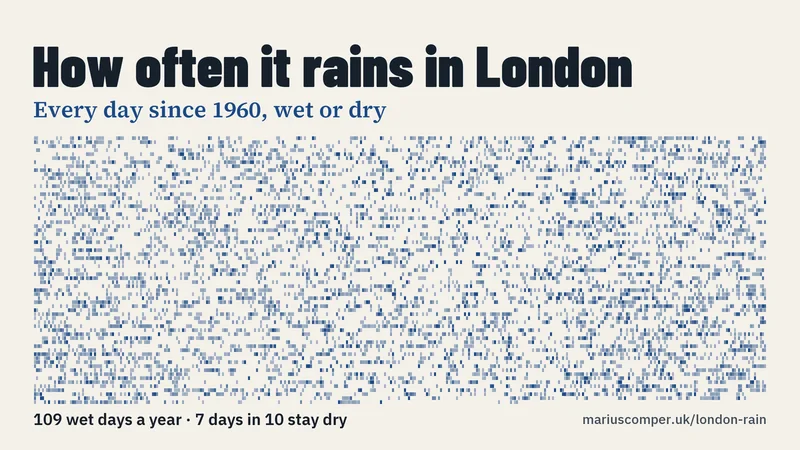
At Heathrow it rains, 1 mm or more, on three days in ten: 109 days a year. Paris, measured at Orly, gets the same; New York gets twice the rain on fewer wet days. Every day from 1 January 1960 to 31 August 2026 is one mark on a wall of days, any date can be followed year by year, and with a year of birth the page counts the birthdays it rained on.
Project with a named place
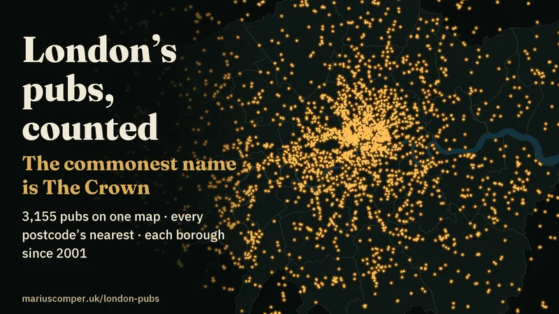
London’s commonest pub name is The Crown, ahead of the Prince of Wales and the Red Lion: 31 of the 3,155 pubs mapped by OpenStreetMap’s volunteers. Half of the city’s postcodes have a mapped pub within 286 m in a straight line, and the official count of pubs and bars fell from 4,835 in 2001 to 3,525 in 2024, with Hackney the only borough that rose. A map of London drawn only from its pubs, with a result and a picture for each of 217 postcode districts.
Project with a named place
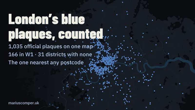
London’s official blue plaque scheme, run today by English Heritage, has 1,035 plaques: 166 are in W1, and 31 of the 120 London postal districts have none. 152 of the 1,010 plaques to a person honour a woman, and the median wait between death and plaque is 49 years. All 3,942 plaques on record, of every kind, on a map drawn from postcodes, with the plaque nearest any postcode and the words on it.
Project with a named place
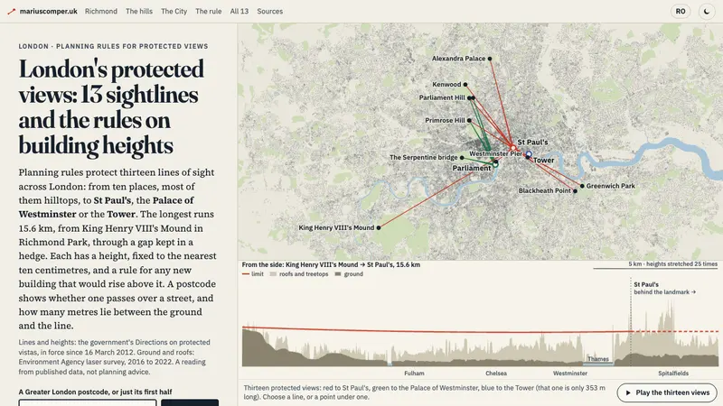
London's planning rules protect thirteen lines of sight to St Paul's, the Palace of Westminster and the Tower; the longest runs 15.6 km from a gap kept in a hedge in Richmond Park. All thirteen, drawn from the government's 2012 Directions, with the height limit under each, the real ground and roofs from laser survey, and a postcode look-up.
Project with a named place
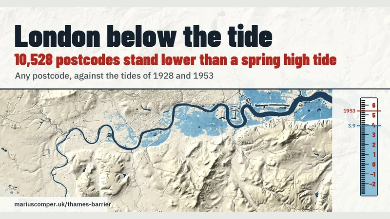
At 10,528 of Greater London's 177,041 postcodes the ground is lower than an ordinary spring high tide at London Bridge (3.9 m above Ordnance Datum). Any postcode set on a tide staff beside the levels of 1928 and 1953, on the city's laser-surveyed relief, and the Thames Barrier's 221 closures counted winter by winter.
Project with a named place
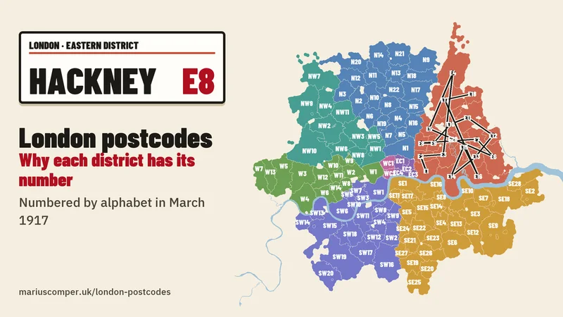
London's postcode numbers are alphabetical: in March 1917 the Post Office gave 1 to each district's main office and numbered the other delivery offices by name, so Hackney is E8 and SE2 is 15 km from SE1. All 120 districts on a map drawn from 110,673 postcodes, each with its own sentence and picture, and the 5,655 lines of the 1917 street list to search.
Project with a named place
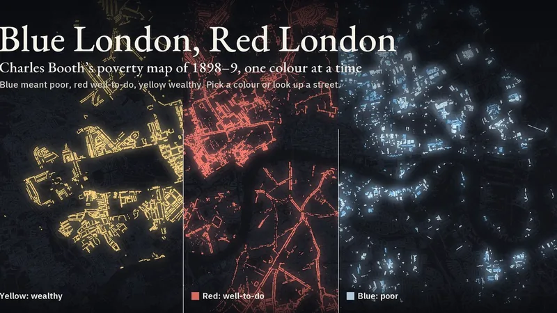
In 1898–9 Charles Booth’s investigators coloured London’s streets in seven colours, from black and blue for the poorest to yellow for the wealthy. Choose a colour to see where it was printed, or look up a street. In English and Romanian.
Project with a named place
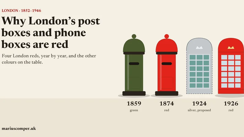
The British pillar box was red in Jersey in 1852, green from 1859 and red again from 1874, London first, and the phone box’s architect wanted it silver. This page follows four London objects, the post box, the phone box, the bus and the Underground logo, year by year from 1852 to 1946 through 18 entries from the record: what the Postal Museum, Historic England and BT Archives say at each change. On the way there is one question: what did Scott write in 1935 about red kiosks in the countryside?
Project with a named place
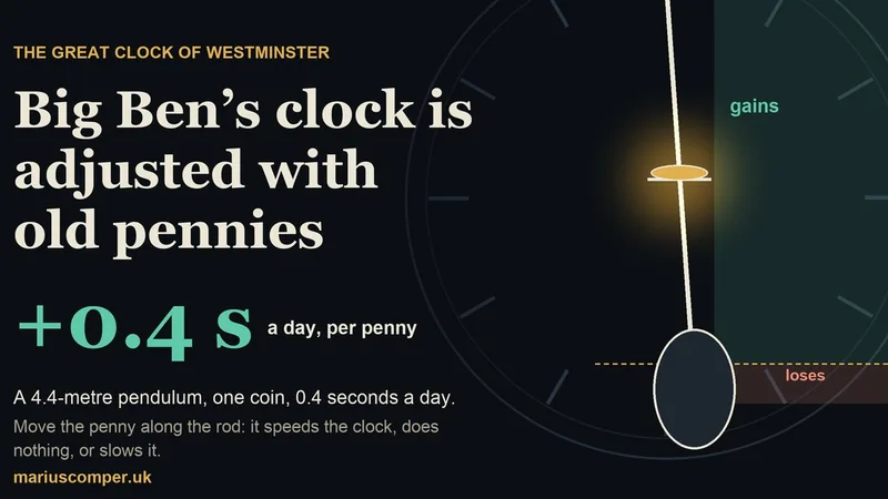
UK Parliament says one old penny on the Great Clock’s pendulum makes it gain 0.4 seconds a day. Slide the coin along the 4.4-metre rod to see where it speeds the clock, where it does nothing and where it slows it; then let the days run, hear the hour strike in a real recording and make a card of your tray.
Project with a named place
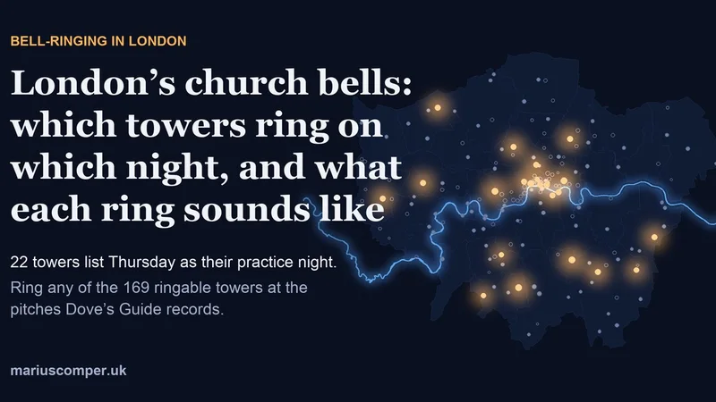
A night map of London's bell towers: pick a night and the towers listing a practice in Dove's Guide light up, tap one to hear its bells, synthesised at the frequencies in the ringers' database, while the order of the ropes changes row by row. Four towers, including St Mary-le-Bow, also have real openly licensed recordings.
Project with a named place
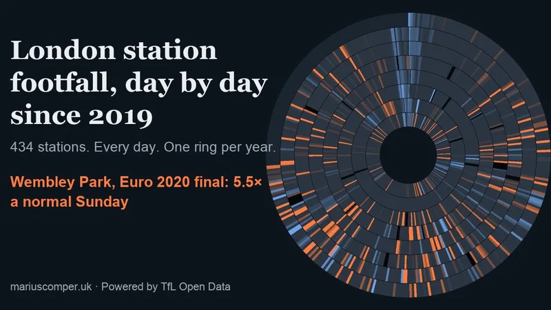
Daily tap counts at 434 London stations, January 2019 to September 2026, wound into rings: one ring per year, one slice per day. Southfields lights up for Wimbledon, Arsenal station follows the fixture list, Ladbroke Grove has no row on Carnival days, and on Christmas Day TfL counts zero Tube journeys. Pick your station and a date of your own.
Project with a named place
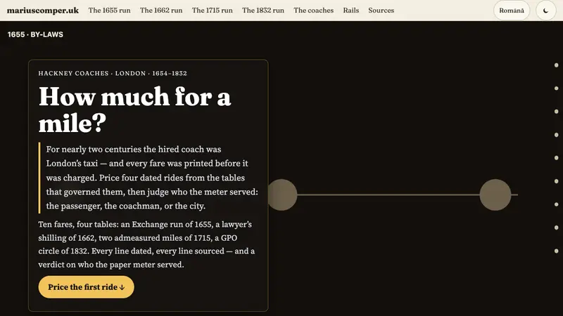
Price ten fares across four dated runs — an Exchange run of 1655, a lawyer's shilling of 1662, two admeasured miles of 1715, a GPO circle of 1832 — then judge who the paper meter served, on two dated proof rails.
Project with a named place
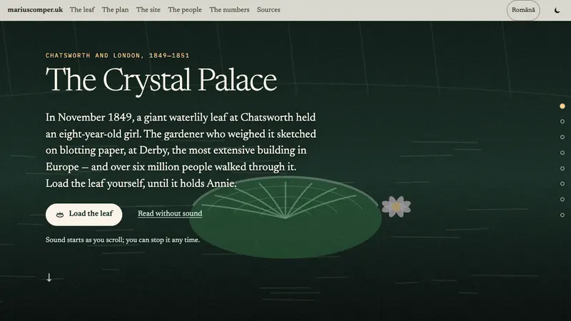
In November 1849, a giant waterlily leaf at Chatsworth held an eight-year-old girl. The gardener who weighed it sketched on blotting paper, at Derby, the most extensive building in Europe — and over six million people walked through it. Load the leaf yourself, until it holds Annie. In Romanian and English.
Project with a named place
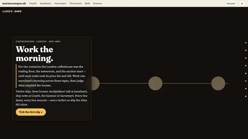
Tick twelve slips across three coffeehouse tapes — brokers’ talk at Jonathan’s, ship news at Lloyd’s, the auction hammer at Garraway’s — then judge what emptied the houses, on two dated proof rails.
Project with a named place
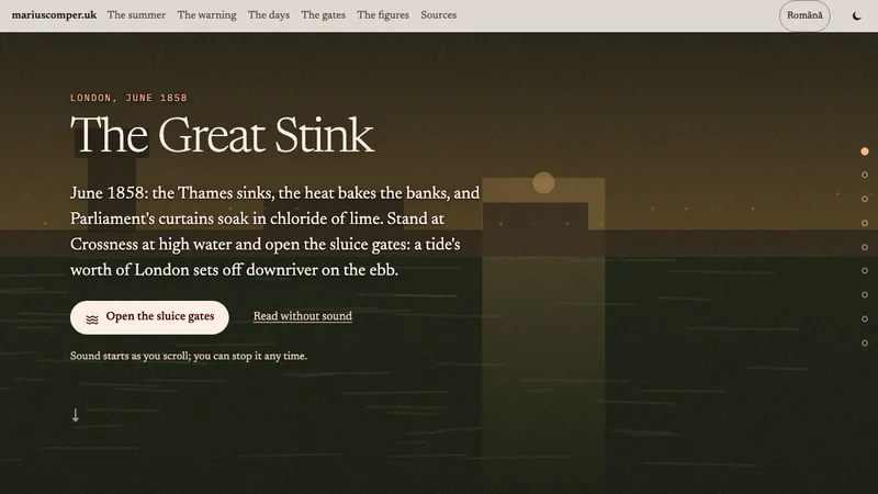
June 1858: the Thames sinks, the heat bakes the banks, and Parliament's curtains soak in chloride of lime. Stand at Crossness at high water and open the sluice gates: a tide's worth of London sets off downriver on the ebb. In Romanian and English.
Project with a named place
London, 5–9 December 1952: five days of yellow fog in which, at night, you could not see your feet — and three months of dying after the sky cleared. You walk the blind street, lift the lid yourself, and put the influenza alibi to the arithmetic. In Romanian and English.
Project with a named place
The Fleet from Hampstead to the Thames: eight beats of the course, a four-map dated slider (1559–1896), twelve acts of the burial, and ten traces to walk.
Project with a named place
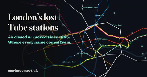
All 272 London Underground stations and the 44 that closed or moved, on a map you can drag from 1863 to today. The ghost stations, the one between Angel and Old Street that now heats homes, and where every name comes from.
Project with a named place
204 London names parsed into stem and ending: a decoder across Celtic, Roman, Saxon, Norman and modern layers, the earliest forms ever written down, and a game of twelve folk traps.
Project with a named place
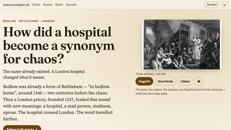
Bedlem was already a form of Bethlehem when a London priory founded in 1247 started changing what it meant. Ride two tracks — the building crosses London, the word escapes toward chaos — and place seven historical uses on their sense.
Project with a named place
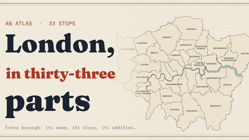
Ride a fictional Tube line through all 32 boroughs and the City: what each name meant in Old English, who built it, and the oddities it keeps — from Croydon's Mayday to Stamford Bridge being in Fulham.
Project with a named place
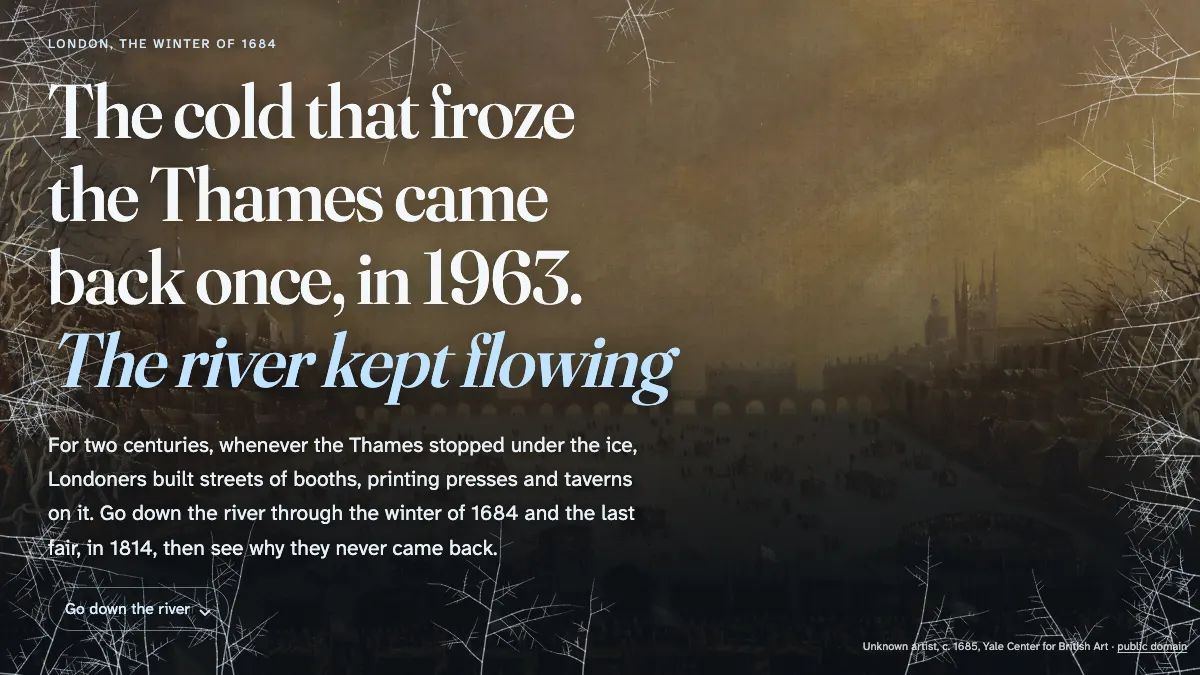
Streets of booths, printing presses and taverns on the frozen river, from Evelyn's diary and the accounts of 1814. The cold that froze the Thames came back once, in 1963; with the old bridge gone, the river kept flowing.
Project with a named place
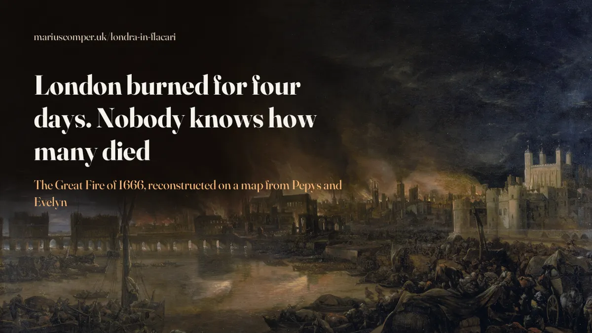
The 1666 fire spreads across today's City, day by day, from the diaries of Pepys and Evelyn. The losses were counted carefully; the dead were not.
Project with a named place
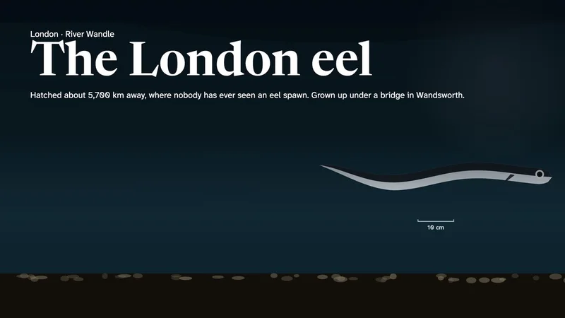
There are eels in London's rivers, and every one of them hatched in the Atlantic, thousands of kilometres away, where nobody has ever seen an eel spawn. This page follows one such life, step by step: the transparent leaf adrift, the climb up the tidal Thames, the years in a London river, the body's change and the leaving. At Molesey Weir in 2025, the volunteers' traps caught, on average, one young eel for every four and a half days of trapping.
Project with a named place
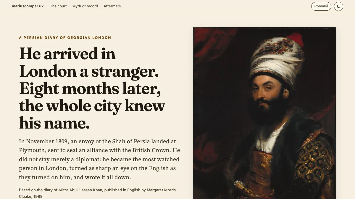
The diary of Mirza Abul Hassan Khan, the Persian envoy who conquered — and sharply judged — London in 1810.
Project with a named place
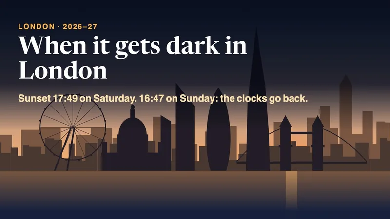
Sunset, sunrise and twilight times for London through 2026–27, the clocks going back on 25 October, and how many of your weekday journeys home start after sunset.