Marius Comper.

Plan a day out in Romania

Where would you like to go in Romania?

Choose a locality to discover nearby projects, landscapes, transport and listed monuments, with the sources and limits behind every measure.

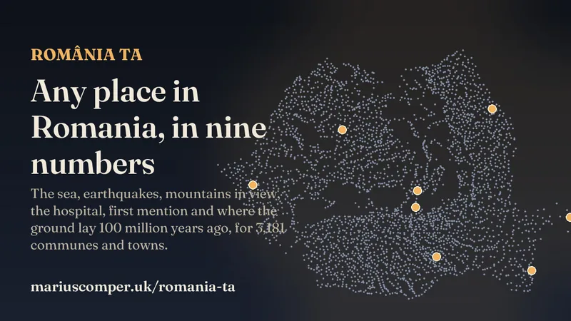
Romanian localities and places documented in projectsChoose one of Romania’s 3,181 communes, towns or municipalities to compare project-linked places, plus 611 historic residences from a separate register. Points do not show routes or public access.
Place linked to a projectListed historic residenceSelected locality

Use the arrow keys on the map to move the selection.

The map shows 131 places linked directly to projects: 48 of 70 in this edition. A subdued layer marks 611 historic residences in the list; inclusion does not confirm public access.

Starting point

Nearest places in the projects

Loading localities…

Nearest places in the projects

Bucharest

  1. Loading projects and localities…

Selected place on the map

—

    Search checks project metadata; a result does not confirm that a project describes this exact locality.

    Distances are approximate and measured in a straight line. For communes, the origin is the administrative seat, not every village. Coastal sites keep their source coordinates and are labelled approximate; Iron Gates I is a Romania–Serbia border landmark, not a point strictly inside Romania. Two UNESCO components use published coordinates.

    Projects for visit ideas

    Projects for visit ideas

    Change the month to bring associated seasonal projects forward; choose a theme to show that category’s collection, with monthly matches first. These are not confirmations of opening hours, weather, road conditions or access.

      County outlines: geoBoundaries ADM1. Commune, town and municipality names and codes: the SIRUTA register; starting points use settlement coordinates from the Se văd munții dataset. Places and project links come from the Locul zilei map; most coordinates were checked within 4 km, while two UNESCO components use published coordinates. Historic residences are geocoded entries from the historic-monuments list.

      01

      Choose a starting point

      Search any of Romania’s 3,181 communes, towns or municipalities. For a commune, the starting point is its SIRUTA-linked seat, not every village. The map sorts project-documented places by straight-line distance, and each marker opens the project that describes it.
      02

      Nearby is not a route

      A short distance on the map does not tell you how long a journey takes or whether a building admits visitors. Check access, opening hours and conditions with the site before you go.

      03

      Choose the kind of place

      Browse projects about castles and historic sites, mountains and water, transport, or guides for a visit. Change the month for other editorial topics; this page does not forecast weather or take bookings.

      Browse every Romania project

      Romania for visitors · 70 projects

      The complete collection

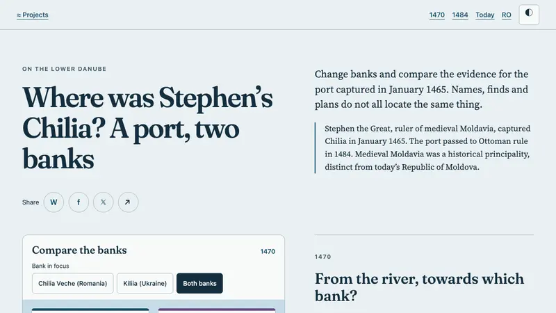
      Guides, maps and stories about places in Romania that can help you plan a visit. One project compares the history of both banks of Chilia, including Kiliia in Ukraine.

      About the collection

      The 131 place points come from the Locul zilei map; each retains its link to the projects that document it. They cover 48 of the 71 projects in the English edition. Other projects remain searchable without invented coordinates. Distances are approximate straight-line measurements from the locality centre; the original source checked points within 4 km, so close places can change rank. A separate 611 castles, manor houses and cule come from the historic-monuments list; visitor access is not verified here. The map shows no roads or travel times.

      Reviewed · Collection as text

      Sources