Visas, straits and border crossings belong to different periods and rules. Their pages explain what can be said about access and what needs checking against current sources.
Project with its sources
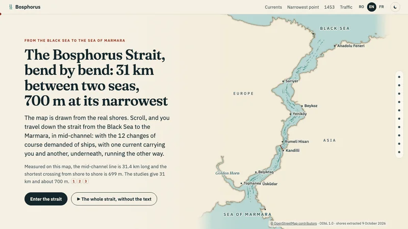
The Bosphorus followed on the map from the Black Sea to the Sea of Marmara: 31 km, 12 changes of course, 699 m at its narrowest, two currents one above the other and, in 2025, an average of 110 ship passages a day. In Romanian, English and French.
Project with its sources
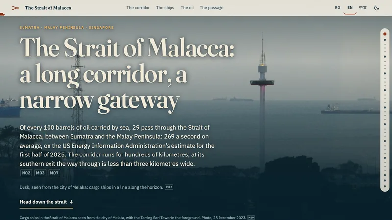
The Strait of Malacca is about 800–930 km long, depending on the source, and about 2.8 km wide at its southern gateway. What its numbers measure: 94,301 transits, 23.2 million barrels a day, 29%, 48%. In Romanian, English and Chinese.
Project with its sources
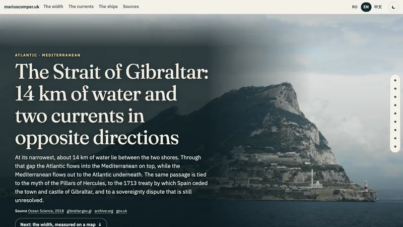
At its narrowest the Strait of Gibraltar is about 14 km wide. The Atlantic flows in on top and the Mediterranean flows out underneath. With a map for measuring the width, the Pillars of Hercules, the 1713 treaty and the shipping traffic in numbers. In Romanian, English and Chinese.
Project with its sources
Three tracks separated: the nomad's ten papers, the 3× wage math, work with the employer first. Every legal sentence with its article; the sorter gives FIT/HOLD bands, never verdicts; not legal advice.